Historical Maps of Boston and Surroundings

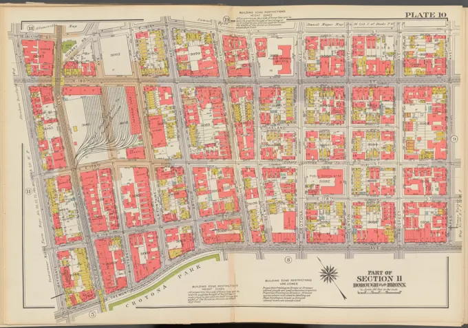
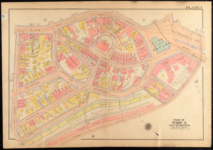
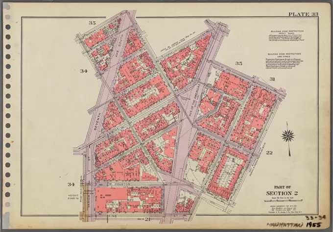
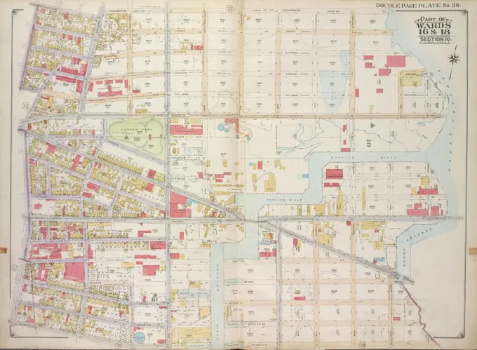
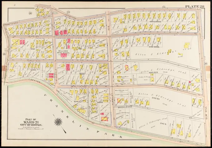
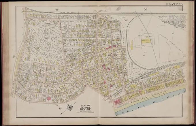
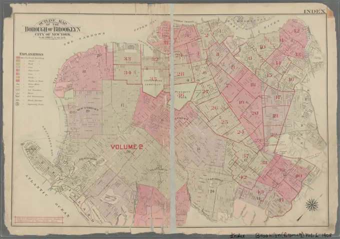
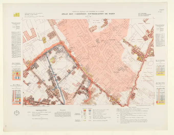
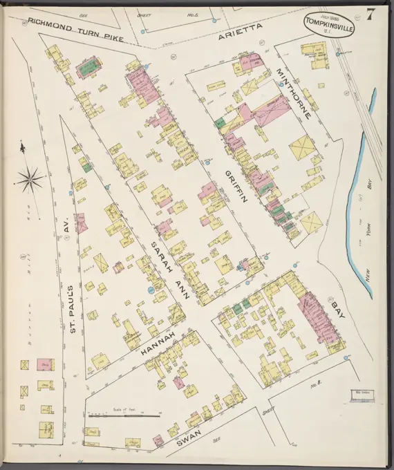
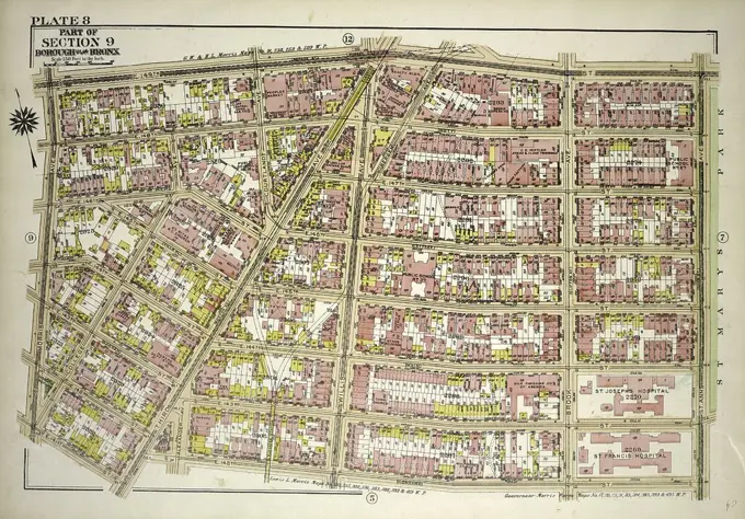
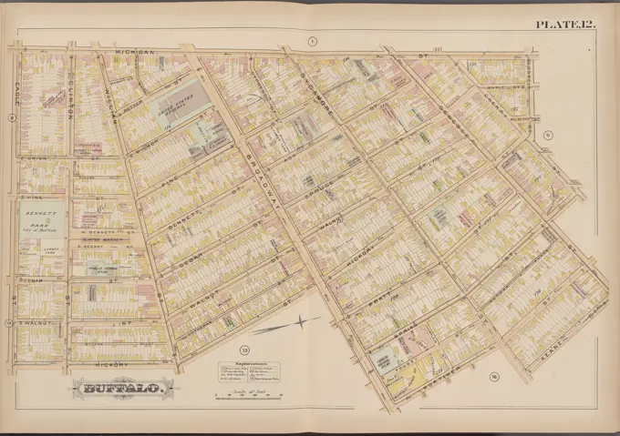
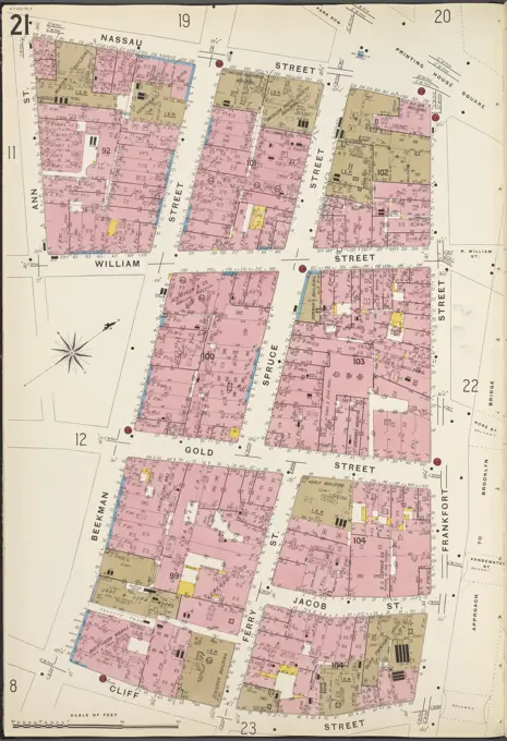
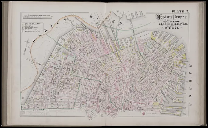
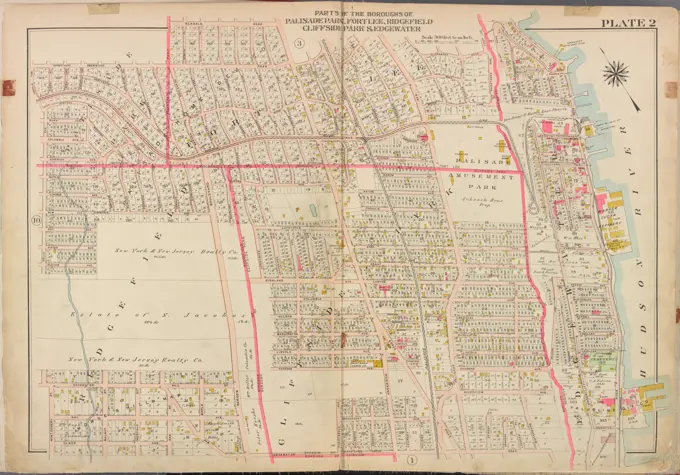
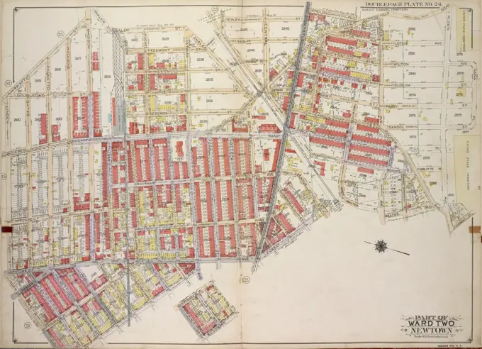
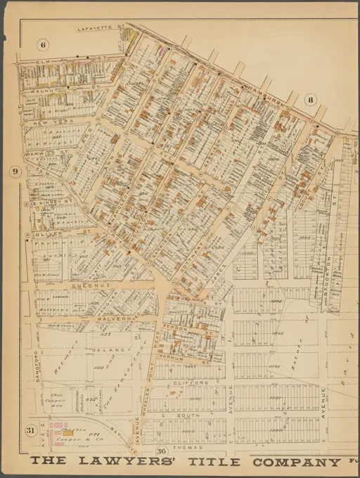
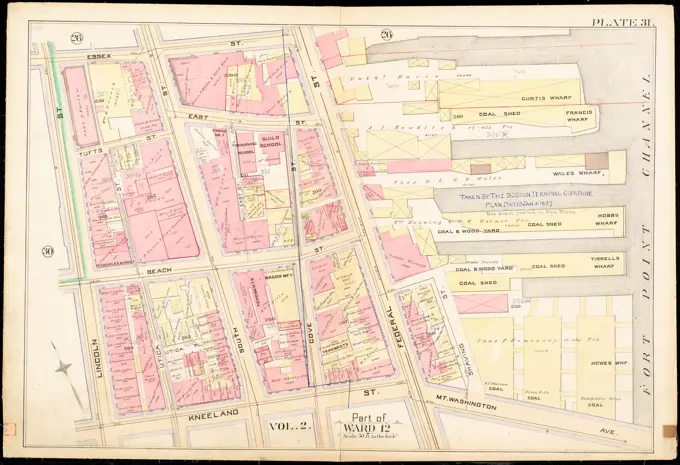
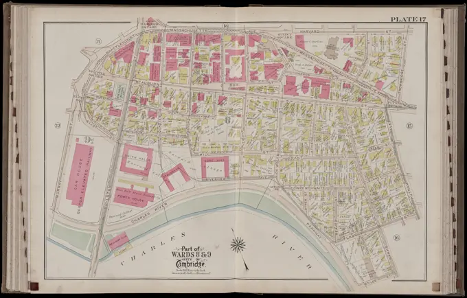
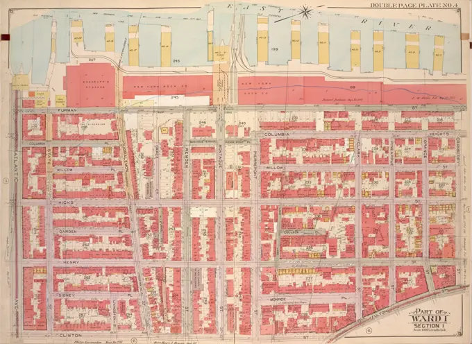
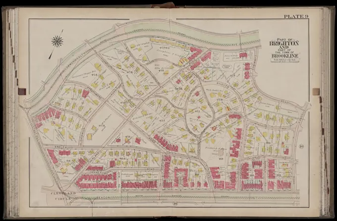
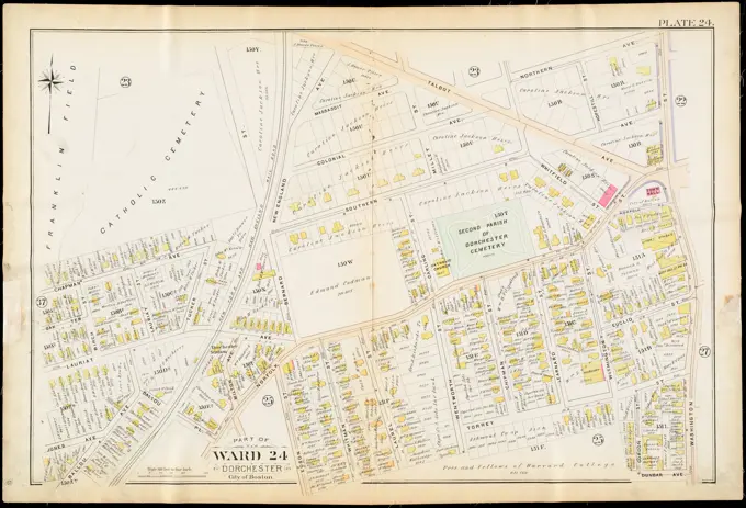
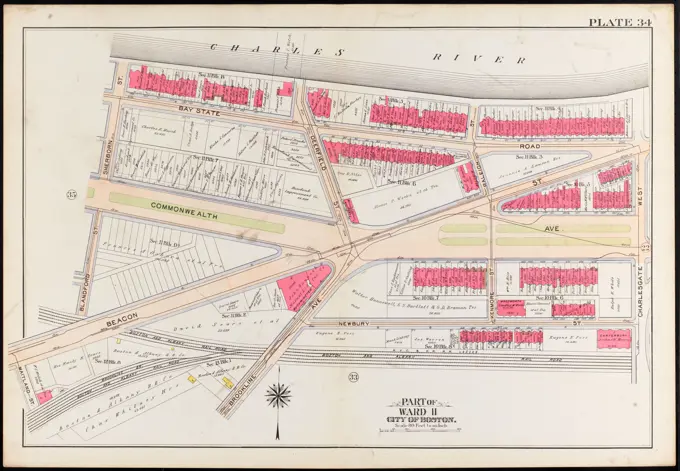
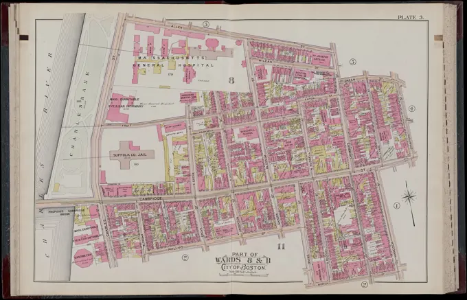
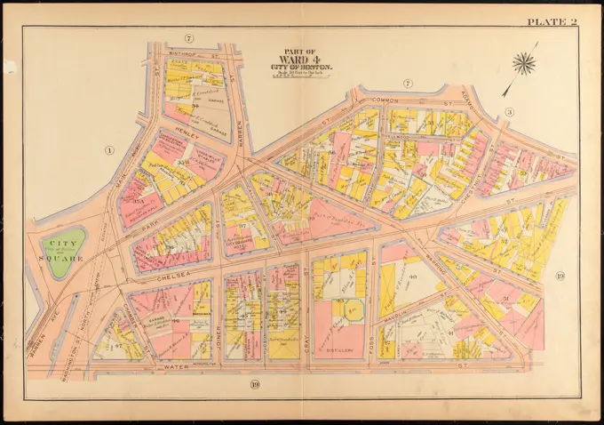
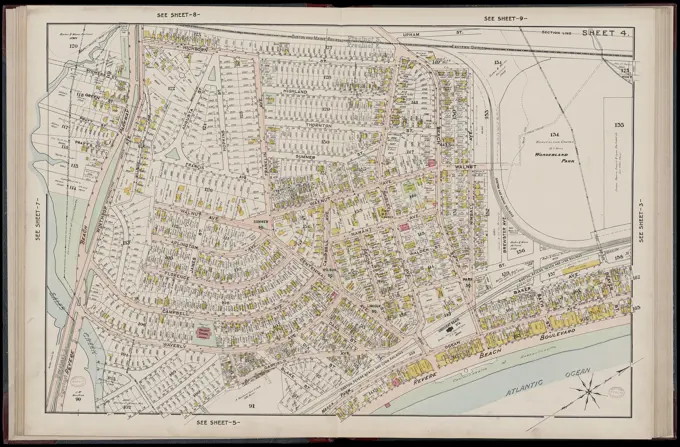
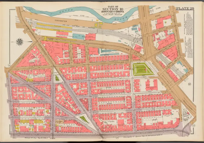
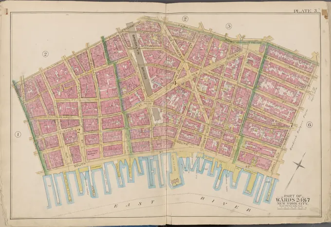
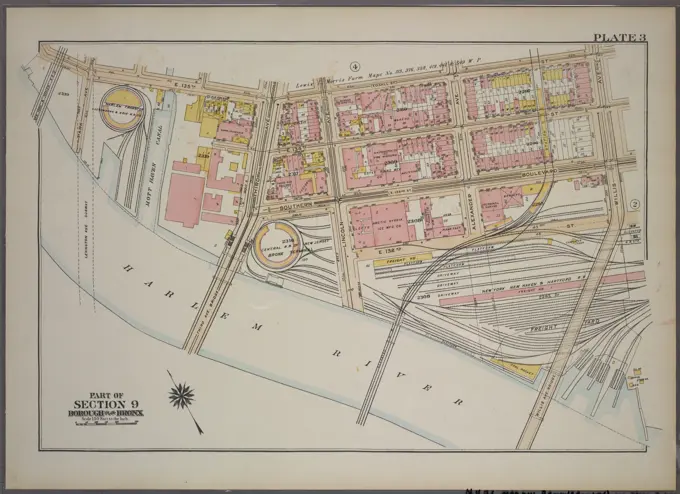
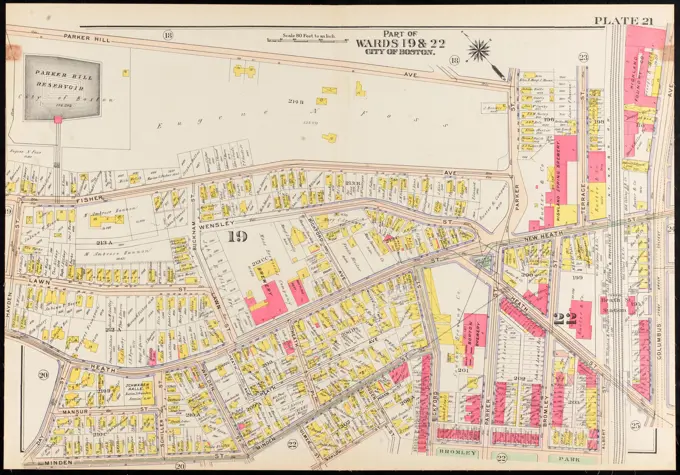
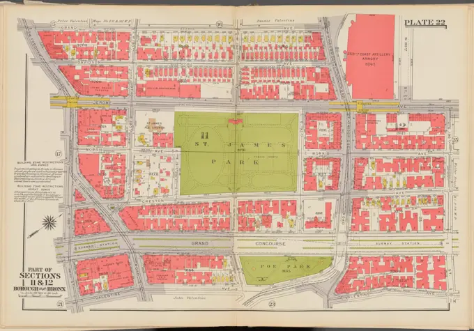
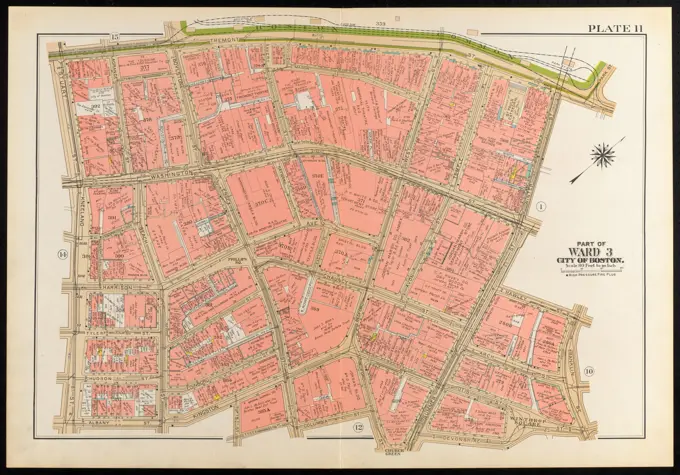
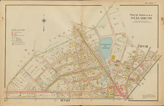
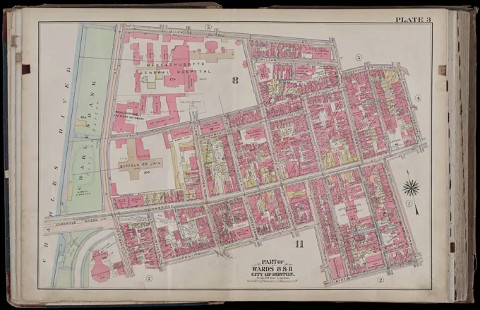
Detailed historical maps showcasing Boston, Roxbury, and Brookline, featuring property lines, landowners, and vibrant colors. Ideal for research and historical referencing.

Atlas of the city of Boston, West Roxbury : from actual surveys and official plans : plate 8 , Real property, Massachusetts, Boston, Maps, Landowners, Massachusetts, Boston, Maps, Jamaica Plain Boston, Mass., Maps Norman B. Leventhal Map Center Collection
Cartographic, Maps. 1884 - 1936. Lionel Pincus and Princess Firyal Map Division. Fire insurance , New York (State), Real property , New York (State), Cities & towns , New York (State) Staten Island, Plate No. 7 Map bounded by Richmond Turn Pike, Arietta, New York bay, Swan, St. Paul's Ave.Atlas of the city of Boston, Boston proper and Back Bay : plate 30 , Boston Mass., Maps, Real property, Massachusetts, Boston, Maps, Landowners, Massachusetts, Boston, Maps, Roxbury Boston, Mass., Maps Norman B. Leventhal Map Center CollectionPlate 8, Part of Section 9, Borough of the Bronx. Bounded by E. 149th Street, St. Anns Avenue, E. 142nd Street, Third Avenue, E. 141st Street and Morris Avenue.Cartographic, Maps. 1884 - 1936. Lionel Pincus and Princess Firyal Map Division. Fire insurance , New York (State), Real property , New York (State), Cities & towns , New York (State) Brooklyn V. 2, Plate No. 15 Map bounded by Sands St., Middagh St., Hicks St., Front St., Pearl St.Atlas of the city of Boston, Charlestown and East Boston : plate 26 , Boston Mass., Maps, Real property, Massachusetts, Boston, Maps, Landowners, Massachusetts, Boston, Maps Norman B. Leventhal Map Center CollectionBuffalo, Double Page Plate No. 12 Map bounded by Michigan St., Keane St., Hickory St., Eagle St. Cartographic. Atlases, Maps. 1891. Lionel Pincus and Princess Firyal Map Division. Real property , New York (State) , zBuffaloCartographic, Maps. 1884 - 1936. Lionel Pincus and Princess Firyal Map Division. Fire insurance , New York (State), Real property , New York (State), Cities & towns , New York (State) Manhattan, V. 1, Plate No. 21 Map bounded by Nassau St., Frankfort St., Cliff St., Ann St.Atlas of the city of Boston, Brighton : plate 19 , Boston Mass., Maps, Real property, Massachusetts, Boston, Maps, Landowners, Massachusetts, Boston, Maps, Allston Boston, Mass., Maps Norman B. Leventhal Map Center CollectionAtlas of the city of Boston, Boston proper and Back Bay : plate 17 , Boston Mass., Maps, Real property, Massachusetts, Boston, Maps, Landowners, Massachusetts, Boston, Maps, South End Boston, Mass., Maps Norman B. Leventhal Map Center CollectionCity atlas of Boston, Massachusetts : complete in one volume : from official records, private plans and actual surveys : plate 7 , Real property, Massachusetts, Boston, Maps, Landowners, Massachusetts, Boston, Maps, Boston, Mass., Maps Norman B. Leventhal Map Center CollectionBromley, George Washington. Cartographic, Maps, Atlases, land surveys. 1908. Lionel Pincus and Princess Firyal Map Division. Brooklyn (New York, N.Y.) , Maps Plate 23: Bounded by Conway Street, Norman Place, Van Sinderen Avenue, Liberty Avenue, East New York Avenue, Park Place, Saratoga Avenue and Broadway Plate 23Bergen County, V. 1, Double Page Plate No. 2 Map bounded by Elkdale Rd., Hudson River, Edgewater Rd., Clark Ave., Montgomery St., Delia Ave. Cartographic. Atlases, Maps. 1912 - 1913. Lionel Pincus and Princess Firyal Map Division. Bergen County (N.J.)Cartographic, Maps. 1915. Lionel Pincus and Princess Firyal Map Division. Queens (New York, N.Y.), Real property , New York (State) , New York , Queens (Borough) Queens, Vol. 2A, Double Page Plate No. 24; Part of Ward Two Newtown. Map bounded by Shaler St., Fremont St., Schley St., Myrtle Ave., Epsilon PL., Cypress Hill Road., Anna PL.; Including Alden Ave., Fairmont St., Walter St., Forest Ave., Linden St., Traffic St.Atlas of the city of Boston, Boston proper and Back Bay : from actual surveys and official plans : plate 2 , Real property, Massachusetts, Boston, Maps, Landowners, Massachusetts, Boston, Maps, Beacon Hill Boston, Mass., Maps Norman B. Leventhal Map Center CollectionAtlas of the city of Cambridge, Massachusetts : from actual surveys and official plans. plate 22 , Real property, Massachusetts, Cambridge, Maps, Landowners, Massachusetts, Cambridge, Maps, Cambridge Mass., Maps Norman B. Leventhal Map Center CollectionNewark, Double Page Plate No. 32 Map bounded by Hamburgh Pl., Avenue N, Thomas St., Sandford St. 1889. Cartographic. Atlases, Maps, Plans, Surveying. Lionel Pincus and Princess Firyal Map Division. Newark (N.J.)Cartographic, Maps. 1884 - 1936. Lionel Pincus and Princess Firyal Map Division. Fire insurance , New York (State), Real property , New York (State), Cities & towns , New York (State) Richmond, Plate No. 29 Map bounded by Broadway, Kill Von KullAtlas of the city of Boston, Boston proper and Roxbury : plate 37 , Boston Mass., Maps, Real property, Massachusetts, Boston, Maps, Landowners, Massachusetts, Boston, Maps, Roxbury Boston, Mass., Maps Norman B. Leventhal Map Center CollectionCartographic, Maps. 1938. Lionel Pincus and Princess Firyal Map Division. Bronx (New York, N.Y.) , Maps, Real property , New York (State) , New York (N.Y.) Double Page Plate No. 10, Part of Section 11, Borough of the Bronx: Bounded by E. 181st Street, Mapes Avenue, E. Tremont Avenue and Bathgate AvenueAtlas of the city of Boston, Boston proper and Back Bay : plate 7 , Boston Mass., Maps, Real property, Massachusetts, Boston, Maps, Landowners, Massachusetts, Boston, Maps, North End Boston, Mass., Maps Norman B. Leventhal Map Center CollectionAtlas of the city of Boston, Dorchester : plate 9 , Boston Mass., Maps, Real property, Massachusetts, Boston, Maps, Landowners, Massachusetts, Boston, Maps, Dorchester Boston, Mass., Maps Norman B. Leventhal Map Center CollectionAtlas of the city of Boston : city proper : plate 31 , Boston Mass., Maps, Real property, Massachusetts, Boston, Maps, Landowners, Massachusetts, Boston, Maps Norman B. Leventhal Map Center CollectionAtlas of the city of Boston, Charlestown and East Boston : plate 1 , Boston Mass., Maps, Real property, Massachusetts, Boston, Maps, Landowners, Massachusetts, Boston, Maps, Charlestown Boston, Mass., Maps Norman B. Leventhal Map Center CollectionAtlas of the city of Boston, Boston proper and Back Bay : plate 33 , Boston Mass., Maps, Real property, Massachusetts, Boston, Maps, Landowners, Massachusetts, Boston, Maps, Fenway Boston, Mass., Maps Norman B. Leventhal Map Center CollectionCartographic, Maps. 1927. Lionel Pincus and Princess Firyal Map Division. Real property , New York (State) , New York, Manhattan (New York, N.Y.) Plate 23, Part of Section 2: Bounded by Broadway, E. 8th Street, Second Avenue and E. Houston StreetAtlas of the city of Boston, Dorchester : from actual surveys and official plans : plate 16 , Real property, Massachusetts, Boston, Maps, Landowners, Massachusetts, Boston, Maps, Dorchester Boston, Mass., Maps Norman B. Leventhal Map Center CollectionAtlas of the city of Boston, Dorchester : from actual surveys and official plans : plate 10 , Real property, Massachusetts, Boston, Maps, Landowners, Massachusetts, Boston, Maps, Dorchester Boston, Mass., Maps Norman B. Leventhal Map Center CollectionAtlas of the city of Boston, Boston proper and Back Bay : plate 34 , Boston Mass., Maps, Real property, Massachusetts, Boston, Maps, Landowners, Massachusetts, Boston, Maps, Fenway Boston, Mass., Maps Norman B. Leventhal Map Center CollectionFire insurance district atlas showing the fire insurance districts of the city of Boston : fire insurance district no. 5 , Real property, Massachusetts, Boston, Maps, Fire risk assessment, Massachusetts, Boston, Maps, Boston Mass., Maps Norman B. Leventhal Map Center CollectionCartographic, Maps. 1955 - 1956. Lionel Pincus and Princess Firyal Map Division. Real property , New York (State) , New York (N.Y.), Manhattan (New York, N.Y.) Plate 33, Part of Section 2: Bounded by Barrow Street, Bleecker Street, Cornelia Street, Avenue of the Americas, W. 3rd Street, Sullivan Street, W. Houston Street, Macdougal Street, King Street, Varick Street, Seventh Avenue South and Bedford Street.Atlas of the city of Cambridge, Massachusetts : from actual surveys and official plans. plate 17 , Real property, Massachusetts, Cambridge, Maps, Landowners, Massachusetts, Cambridge, Maps, Cambridge Mass., Maps Norman B. Leventhal Map Center CollectionAtlas of the city of Boston, volume five, Dorchester Mass. : from actual surveys and official plans. plate 10 , Real property, Massachusetts, Boston, Maps, Landowners, Massachusetts, Boston, Maps, Dorchester Boston, Mass., Maps Norman B. Leventhal Map Center CollectionE.B. Hyde & Co.. Cartographic, Maps. 1903 - 1907. Lionel Pincus and Princess Firyal Map Division. Brooklyn (New York, N.Y.) , Maps, Real property , New York (State) , New York Brooklyn, Vol. 1, Double Page Plate No. 4; Part of Wards 1, Section 1; Map bounded by Atlantic Ave., Furman St., Columbia Heights; Including Cranberry St., Fulton St., Clinton St.Atlas of the town of Brookline, Norfolk County, Massachusetts : from actual surveys and official plans. plate 9 , Real property, Massachusetts, Brookline, Maps, Landowners, Massachusetts, Brookline, Maps, Brookline Mass., Maps, Real property, Massachusetts, Boston, Maps, Landowners, Massachusetts, Boston, Maps, Brighton Boston, Mass., Maps Norman B. Leventhal Map Center CollectionE.B. Hyde & Co.. Cartographic, Maps. 1916. Lionel Pincus and Princess Firyal Map Division. Brooklyn (New York, N.Y.), Real property , New York (State) , New York Brooklyn, Vol. 1, 2nd Part, Double Page Plate No. 36; Part of Wards 16 & 18, Section 10; Map bounded by Richardson St. (Amos St.), Newtown Creek, Seneca Ave., Meserole Ave., Bushwick Ave.; Including Old Woodpoint Rd., Skillman Ave., Humboldt St., Richardson St., Kingsland Ave.Cartographic, Maps. 1884 - 1936. Lionel Pincus and Princess Firyal Map Division. Fire insurance , New York (State), Real property , New York (State), Cities & towns , New York (State) Brooklyn V. 3, Plate No. 6 Map bounded by S.5th St., Wythe Ave., S.9th St., East RiverAtlas of the city of Boston, Dorchester, Mass. : plate 3 , Boston Mass., Maps, Real property, Massachusetts, Boston, Maps, Landowners, Massachusetts, Boston, Maps, Dorchester Boston, Mass., Maps Norman B. Leventhal Map Center CollectionAtlas of the city of Boston : Dorchester, Mass. : plate 24 , Boston Mass., Maps, Real property, Massachusetts, Boston, Maps, Landowners, Massachusetts, Boston, Maps, Dorchester Boston, Mass., Maps Norman B. Leventhal Map Center CollectionAtlas of the city of Boston, Roxbury : plate 30 , Boston Mass., Maps, Real property, Massachusetts, Boston, Maps, Landowners, Massachusetts, Boston, Maps, Roxbury Boston, Mass., Maps Norman B. Leventhal Map Center CollectionAtlas of the city of Boston, Dorchester, Mass., vol. 5 : from actual surveys and official plans : plate 15 , Real property, Massachusetts, Boston, Maps, Landowners, Massachusetts, Boston, Maps, Dorchester Boston, Mass., Maps Norman B. Leventhal Map Center CollectionAtlas of the city of Boston : Dorchester, Mass. : plate 23 , Boston Mass., Maps, Real property, Massachusetts, Boston, Maps, Landowners, Massachusetts, Boston, Maps, Dorchester Boston, Mass., Maps Norman B. Leventhal Map Center CollectionAtlas of the city of Boston, Roxbury : plate 28 , Boston Mass., Maps, Real property, Massachusetts, Boston, Maps, Landowners, Massachusetts, Boston, Maps, Roxbury Boston, Mass., Maps Norman B. Leventhal Map Center CollectionCity atlas of Boston, Massachusetts : complete in one volume : from official records, private plans and actual surveys : plate 7 , Real property, Massachusetts, Boston, Maps, Landowners, Massachusetts, Boston, Maps, Boston, Mass., Maps Norman B. Leventhal Map Center CollectionAtlas of the city of Boston, Boston proper and Back Bay : plate 34 , Boston Mass., Maps, Real property, Massachusetts, Boston, Maps, Landowners, Massachusetts, Boston, Maps, Fenway Boston, Mass., Maps Norman B. Leventhal Map Center CollectionBrooklyn, Vol. 5, Double Page Plate No. 21; Part of Ward 29, Section 16; Map bounded by Flatbush Ave., Albemarle Road Avenue A, Rugby Road E. 14th St.; Including Caton Ave. Johnson Ave., Parade Pl., Parkside Ave., Woodruff Ave.Atlas of the city of Boston, Boston proper : from actual surveys and official plans. plate 3 , Real property, Massachusetts, Boston, Maps, Landowners, Massachusetts, Boston, Maps, Boston Mass., Maps Norman B. Leventhal Map Center CollectionAtlas of the city of Boston, Charlestown and East Boston : plate 2 , Boston Mass., Maps, Real property, Massachusetts, Boston, Maps, Landowners, Massachusetts, Boston, Maps, Charlestown Boston, Mass., Maps Norman B. Leventhal Map Center CollectionAtlas of the city of Boston, Boston proper and Back Bay : from actual surveys and official plans : plate 10 , Boston Mass., Maps, Real property, Massachusetts, Boston, Maps, Landowners, Massachusetts, Boston, Maps Norman B. Leventhal Map Center CollectionMap of Amsterdam, Albertus Braakensiek, After Roeloffzen & Hübner, 1873 print   paper. ink pen maps of cities AmsterdamAtlas of the city of Boston, Boston proper and Back Bay : from actual surveys and official plans : plate 1 , Boston Mass., Maps, Real property, Massachusetts, Boston, Maps, Landowners, Massachusetts, Boston, Maps Norman B. Leventhal Map Center CollectionInsurance map of Charlestown : portions of Roxbury (now annexed to Boston) and Cambridge : plate 1 , Fire risk assessment, Massachusetts, Boston, Maps, Real property, Massachusetts, Boston, Maps, Charlestown Boston, Mass., Maps Norman B. Leventhal Map Center CollectionAtlas of the towns of Revere and Winthrop, Suffolk County, Massachusetts. sheet 4 , Real property, Massachusetts, Revere, Maps, Landowners, Massachusetts, Revere, Maps, Revere Mass., Maps Norman B. Leventhal Map Center CollectionInsurance map of Charlestown : portions of Roxbury (now annexed to Boston) and Cambridge : plate 24 , Fire risk assessment, Massachusetts, Boston, Maps, Real property, Massachusetts, Boston, Maps, Roxbury Boston, Mass., Maps Norman B. Leventhal Map Center CollectionPlate 37, Part of Section 2: Bounded by W. 14th Street, Seventh Avenue, Greenwich Avenue, Charles Street, Waverly Place, Perry Street, W. 4th Street, W. 11th Street, Bleecker Street, Bank Street, Hudson Street, Bethune Street, Greenwich Street and Ninth.Atlas of the city of Boston, Dorchester, Mass., vol. 5 : from actual surveys and official plans : plate 27 , Real property, Massachusetts, Boston, Maps, Landowners, Massachusetts, Boston, Maps, Dorchester Boston, Mass., Maps Norman B. Leventhal Map Center CollectionAtlas of the city of Boston, Dorchester, Mass., vol. 5 : from actual surveys and official plans : plate 21 , Real property, Massachusetts, Boston, Maps, Landowners, Massachusetts, Boston, Maps, Dorchester Boston, Mass., Maps Norman B. Leventhal Map Center CollectionCartographic, Maps. 1930. Lionel Pincus and Princess Firyal Map Division. Real property , New York (State) , New York, Manhattan (New York, N.Y.) Plate 174, Part of Section 8: Bounded by W. 187th Street, Broadway, W. 183rd Street and (Hudson River, Fort Washington Park) Riverside DriveBrooklyn, Vol. 2, Double Page Plate No. 19; Part of Ward 25, Section 6; Map bounded by Broadway, Stone Ave., Fulton St., Eastern Parkway; IncludingAtlantic Ave., Saratoga Ave., Macon St., Hopkinson Ave.; Sub Plan; Map bounded by Broadway,.Cartographic, Maps. 1915. Lionel Pincus and Princess Firyal Map Division. Queens (New York, N.Y.), Real property , New York (State) , New York , Queens (Borough) Queens, Vol. 2A, Double Page Plate No. 27; Part of Ward Two Newtown. Map bounded by Metropolitan Ave., Boundary line between Jamaica and Queens, Flushing Park; Including Myrtle Ave., Frances St., Central Ave.Atlas of the city of Boston, Boston proper and Back Bay : plate 3 , Boston Mass., Maps, Real property, Massachusetts, Boston, Maps, Landowners, Massachusetts, Boston, Maps, West End Boston, Mass., Maps Norman B. Leventhal Map Center CollectionInsurance map of Boston : volume 1 : plate 3 , Real property, Massachusetts, Boston, Maps, Landowners, Massachusetts, Boston, Maps, North End Boston, Mass., Maps Norman B. Leventhal Map Center CollectionInsurance maps of Boston volume two : plate 30 , Fire risk assessment, Massachusetts, Boston, Maps, South End Boston, Mass., Maps Norman B. Leventhal Map Center CollectionCartographic, Maps. 1938 - 1957. Lionel Pincus and Princess Firyal Map Division. Real property , New York (State) , New York (N.Y.), Bronx (New York, N.Y.) , Maps Double Page Plate No. 31, Part of Sections 11 & 12, Borough of the Bronx: Bounded by Broadway, W. 230th Street, Reservoir Avenue, W. Kingsbridge Road, W. 193rd Street and Bailey AvenueAtlas of the city of Boston, Boston proper and Back Bay : from actual surveys and official plans. plate 4 , Boston Mass., Maps, Real property, Massachusetts, Boston, Maps, Landowners, Massachusetts, Boston, Maps Norman B. Leventhal Map Center CollectionAtlas of the city of Newton, Massachusetts. plate 21 , Real property, Massachusetts, Newton, Maps, Landowners, Massachusetts, Newton, Maps, Newton Mass., Maps Norman B. Leventhal Map Center CollectionAtlas of the town of Brookline, Norfolk County, Massachusetts : from actual surveys and official plans. plate 7 , Real property, Massachusetts, Brookline, Maps, Landowners, Massachusetts, Brookline, Maps, Brookline Mass., Maps Norman B. Leventhal Map Center CollectionAtlas of the city of Boston, wards 25 & 26, Brighton : plate 19 , Boston Mass., Maps, Real property, Massachusetts, Boston, Maps, Landowners, Massachusetts, Boston, Maps, Allston Boston, Mass., Maps Norman B. Leventhal Map Center CollectionAtlas of the city of Boston : city proper and Roxbury : plate 28 , Boston Mass., Maps, Real property, Massachusetts, Boston, Maps, Landowners, Massachusetts, Boston, Maps, Roxbury Boston, Mass., Maps Norman B. Leventhal Map Center CollectionCartographic, Maps. 1898. Lionel Pincus and Princess Firyal Map Division. Brooklyn (New York, N.Y.), Real property , New York (State) , New York Double Page Plate No. 6: Bounded by (Buttermilk Channel) Ferris St., (Atlantic Basin) Clinton William St., Conover St., Commercial Wharf, Verona St., Van Brunt St., Delvan St., Dwight St., Ostego St., (Erie Basin, Upper Bay) Beard St., Conover St. and Van Dyke St. Part of Ward 12. Land Map Section, No. 2, Volume 1, Brooklyn Borough, New York City.Atlas of the city of Boston, Charlestown and East Boston : plate 20 , Boston Mass., Maps, Real property, Massachusetts, Boston, Maps, Landowners, Massachusetts, Boston, Maps Norman B. Leventhal Map Center CollectionCartographic, Maps. 1884 - 1936. Lionel Pincus and Princess Firyal Map Division. Fire insurance , New York (State), Real property , New York (State), Cities & towns , New York (State) Staten Island, Plate No. 20 Map bounded byJohn, Van, Kill Von KullAtlas of the city of Boston, Boston proper and Back Bay : plate 1 , Boston Mass., Maps, Real property, Massachusetts, Boston, Maps, Landowners, Massachusetts, Boston, Maps Norman B. Leventhal Map Center CollectionAtlas of the city of Boston, Boston proper and Back Bay : from actual surveys and official plans. plate 35 , Real property, Massachusetts, Boston, Maps, Landowners, Massachusetts, Boston, Maps, Fenway Boston, Mass., Maps Norman B. Leventhal Map Center CollectionCartographic, Maps. 1901. Lionel Pincus and Princess Firyal Map Division. Bronx (New York, N.Y.), Real property , New York (State) , New York Double Page Plate No. 37, Part of Ward 24, Section 12. Bounded by Bainbridge Avenue, E. 205th Street, Perry Avenue, E. 209th Street, Webster Avenue and E. Mosholu Parkway North.Atlas of the city of Boston, volume five, Dorchester Mass. : from actual surveys and official plans. plate 29 , Real property, Massachusetts, Boston, Maps, Landowners, Massachusetts, Boston, Maps, Mattapan Boston, Mass., Maps Norman B. Leventhal Map Center CollectionAtlas of the city of Boston, Charlestown and East Boston : plate 16 , Boston Mass., Maps, Real property, Massachusetts, Boston, Maps, Landowners, Massachusetts, Boston, Maps, Charlestown Boston, Mass., Maps Norman B. Leventhal Map Center CollectionCartographic, Maps. 1916. Lionel Pincus and Princess Firyal Map Division. Atlases, Manhattan (New York, N.Y.), Real property , New York (State) , New York Plate 148: Bounded by E. 133rd Street, (Harlem River) Lexington Avenue, E. 130th Street, Third Avenue, E. 129th Street, Second Avenue, E. 128th Street, 1st Avenue, E. 127th Street and Park Avenue Part of Section 6Atlas of the city of Boston : Dorchester, Mass. : plate 23 , Boston Mass., Maps, Real property, Massachusetts, Boston, Maps, Landowners, Massachusetts, Boston, Maps, Dorchester Boston, Mass., Maps Norman B. Leventhal Map Center CollectionAtlas of the town of Brookline, Norfolk County, Massachusetts : from actual surveys and official plans. plate 16 , Real property, Massachusetts, Brookline, Maps, Landowners, Massachusetts, Brookline, Maps, Brookline Mass., Maps Norman B. Leventhal Map Center CollectionCartographic, Maps. 1942. Lionel Pincus and Princess Firyal Map Division. Real property , New York (State) , New York (N.Y.), Bronx (New York, N.Y.) , Maps Double Page Plate No. 29, Part of Section 10, Borough of the Bronx: Bounded by (Bronx River) Edgewater Road, Garrison Avenue, Faile Street, Eastern Boulevard, Hunts Point Avenue, Southern Boulevard, Home Street and Westchester AvenueAtlas of the city of Boston, Boston proper and Back Bay : from actual surveys and official plans : plate 14 , Real property, Massachusetts, Boston, Maps, Landowners, Massachusetts, Boston, Maps, Chinatown Boston, Mass., Maps Norman B. Leventhal Map Center CollectionCartographic, Maps. 1891. Lionel Pincus and Princess Firyal Map Division. Manhattan (New York, N.Y.), Real property , New York (State) , New York Plate 3 Map bounded by William St., Park St., Market St., East River, Maiden LaneAtlas of the city of Boston, West Roxbury, Mass., volume six : from actual surveys and official plans : plate 18 , Real property, Massachusetts, Boston, Maps, Landowners, Massachusetts, Boston, Maps, Roslindale Boston, Mass., Maps Norman B. Leventhal Map Center CollectionCartographic, Maps. 1907. Lionel Pincus and Princess Firyal Map Division Queens, Vol. 1, Double Page Plate No. 33; Sub Plan No. 1; Map bounded by Jamaica Bay, Mott Ave.; Including Point Breeze PL., Bay St.; Sub Plan No. 2; Map bounded by Batler Ave., Wolcott Ave., Mc. Neil Ave.; Including Central Ave., Seneca St., Remsen Ave.; Part of Ward 5; Farrockaway; Map bounded by Bay St., Jamaica Bay, Remsen Ave., Smith St., Clinton Ave.; Including Franklin Ave., Bayview Ave., Prospect Ave., Cornell Ave., The Strand.Hudson County, V. 2, Double Page Plate No. 26 Map bounded by 7th St., Davis Ave., Pomeroy Ave., Passaic River Cartographic. Atlases, Maps. 1908 - 1909. Lionel Pincus and Princess Firyal Map Division. Jersey City (N.J.), Hudson County (N.J.)G.W. Bromley & Co.. Cartographic, Maps. 1921. Lionel Pincus and Princess Firyal Map Division. Bronx (New York, N.Y.), Real property , New York (State) , New York Plate 3, Part of Section 9, Borough of the Bronx. Bounded by E. 135th Street, Willis Avenue, (Harlem River) Southern Boulevard and Park Avenue.Atlas of the city of Boston, Roxbury : plate 21 , Boston Mass., Maps, Real property, Massachusetts, Boston, Maps, Landowners, Massachusetts, Boston, Maps, Mission Hill Boston, Mass., Maps Norman B. Leventhal Map Center CollectionCartographic, Maps. 1938. Lionel Pincus and Princess Firyal Map Division. Bronx (New York, N.Y.) , Maps, Real property , New York (State) , New York (N.Y.) Double Page Plate No. 22, Part of Sections 11 & 12, Borough of the Bronx: Bounded by Grand Avenue, W. Kingsbridge Road, Jerome Avenue, E. 196th Street, Valentine Avenue, E. 188th Street and W. Fordham RoadAtlas of the city of Boston, Boston proper and Back Bay : plate 11 , Boston Mass., Maps, Real property, Massachusetts, Boston, Maps, Landowners, Massachusetts, Boston, Maps Norman B. Leventhal Map Center CollectionAtlas of the county of Suffolk, Massachusetts : vol. 3rd including Boston and Dorchester : from actual surveys and official records : plate J , Real property, Massachusetts, Boston, Maps, Landowners, Massachusetts, Boston, Maps, Dorchester Boston, Mass., Maps Norman B. Leventhal Map Center CollectionAtlas of the city of Cambridge, Massachusetts : from official records, private plan and actual surveys. plate 5 , Real property, Massachusetts, Cambridge, Maps, Landowners, Massachusetts, Cambridge, Maps, Cambridge Mass., Maps Norman B. Leventhal Map Center CollectionAtlas of the county of Suffolk, Massachusetts : vol. 1st including Boston proper : from actual surveys and official records : plate W , Real property, Massachusetts, Boston, Maps, Landowners, Massachusetts, Boston, Maps, Boston Mass., Maps Norman B. Leventhal Map Center CollectionUnion County, Double Page Plate No. 2 Map bounded by Parker Rd., Union Ave., Whitehead Pl., Westfield Ave., Bay Way Ave. 1906. Bauer, Jacob L.. Cartographic. Atlases, Maps. Lionel Pincus and Princess Firyal Map Division. Union County (N.J.)Atlas of the city of Boston, Boston proper and Back Bay : from actual surveys and official plans : plate 3 , Real property, Massachusetts, Boston, Maps, Landowners, Massachusetts, Boston, Maps, West End Boston, Mass., Maps Norman B. Leventhal Map Center CollectionAtlas of the city of Chelsea and the towns of Revere & Winthrop, Massachusetts : from actual surveys and official plans. plate 20 , Real property, Massachusetts, Revere, Maps, Landowners, Massachusetts, Revere, Maps, Revere Mass., Maps Norman B. Leventhal Map Center CollectionBromley, George Washington. Cartographic, Maps, Index maps. 1908. Lionel Pincus and Princess Firyal Map Division. Brooklyn (New York, N.Y.) , Maps Index: Brooklyn (Bromely) , Vol. 1Atlas of the city of Newton, Massachusetts. plate 1 , Real property, Massachusetts, Newton, Maps, Landowners, Massachusetts, Newton, Maps, Newton Mass., Maps Norman B. Leventhal Map Center CollectionCartographic, Maps. 1917. Lionel Pincus and Princess Firyal Map Division. Real property , New York (State) , New York, Fire insurance , New York (State) , New York, Staten Island (New York, N.Y.) Staten Island, V. 1, Plate No. 3 Map bounded by Richmond Ter., Stuyvesant Pl., Westervelt Ave.Atlas of the city of Boston, Roxbury : plate 23 , Boston Mass., Maps, Real property, Massachusetts, Boston, Maps, Landowners, Massachusetts, Boston, Maps, Roxbury Boston, Mass., Maps Norman B. Leventhal Map Center CollectionNecker and Saint Lambert / Sheet 262 / 1955