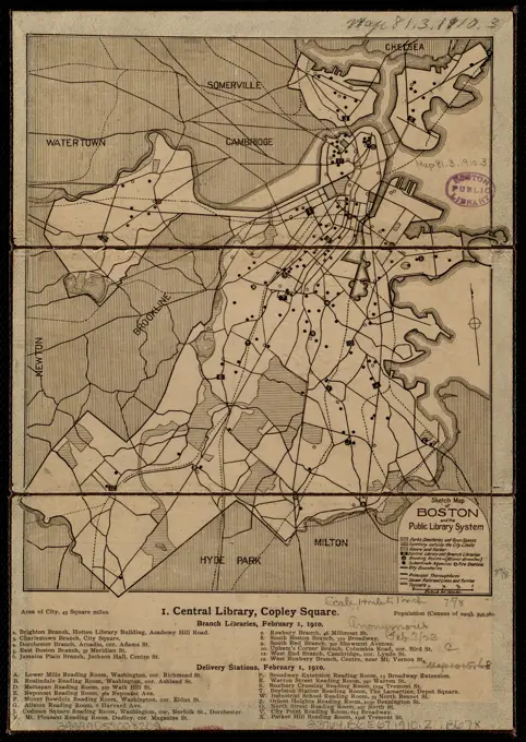
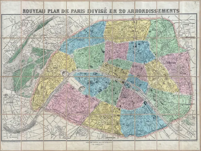
Historical Maps of Boston
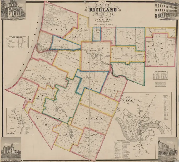
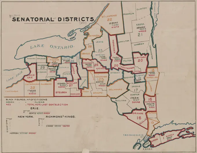
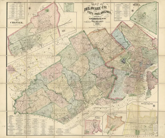
A series of colored maps from the late 19th century depicting Boston and Cumberland County, highlighting land ownership and geographical divisions. Map of Delaware Co. and the city of Philadelphia | Library of Congress 202 assets in this story6145-551814806145-559578946145-559273196145-591319506145-542692026145-559570416145-559561686145-559147196145-290955266145-559578986145-559170294443-754721166145-594717796145-487196136145-594861876145-505327046145-505677036145-559150146145-513944754443-754746036145-595866186145-513944806145-559573926145-559143276145-513978746145-559159046145-542691626145-442039136145-513976346145-513945266145-545494386145-505708166145-545500584443-754731136145-513905576145-513873284443-754641926145-505692004443-754714746145-513974946145-505692046145-487178876145-513890686145-505677826145-513948756145-559593676145-513875966145-513924926145-505711536145-504446566145-513951436145-559150366145-559258081899-202252226145-559558906145-513965566145-513978516145-513906946145-559570166145-542692406145-505685406145-505717506145-505672386145-595642456145-442671346145-545489636145-513949076145-513864096145-559162444443-754770876145-505677056145-487178776145-467734166145-505708176145-559141756145-505528426145-559570116145-505670886145-505677026145-513910674443-754778746145-487187456145-559150446145-513944706145-559143184443-112174443-754658034443-112126145-523598116145-551811044443-754622806145-513909086145-290957066145-299157716145-559150536145-559580586145-505659396145-505610836145-513949686145-54603274 PREVIOUS of 3 NEXT