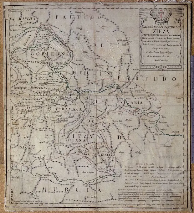
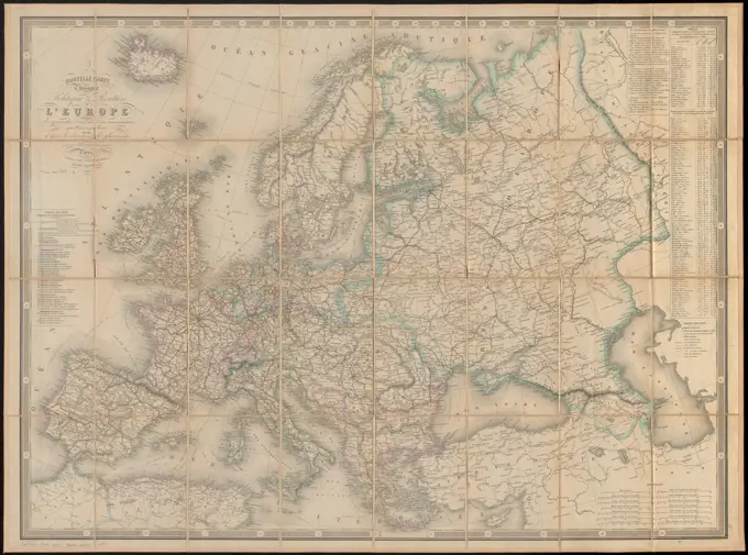
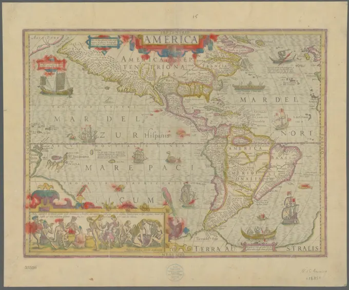
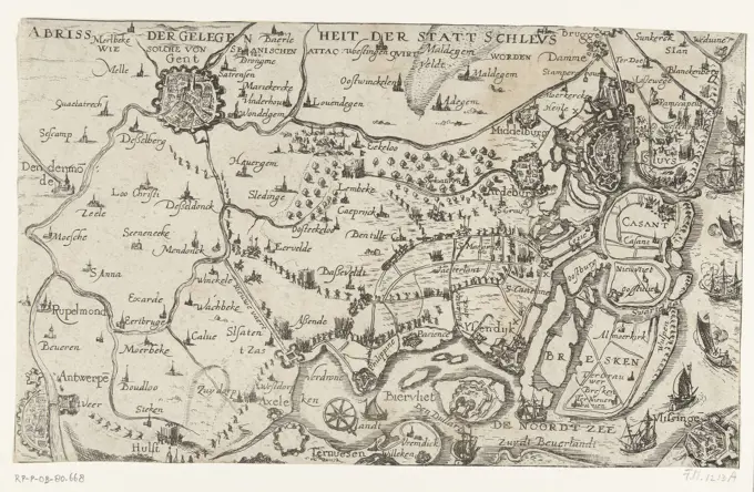
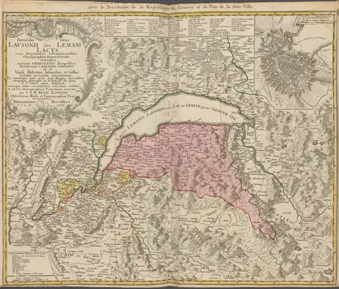
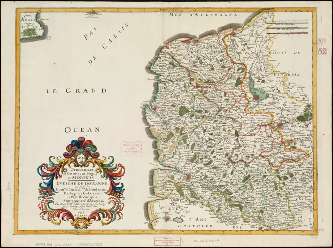
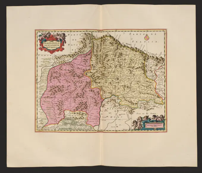
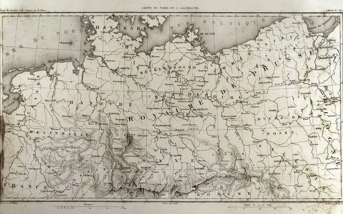
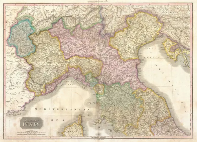
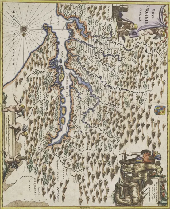
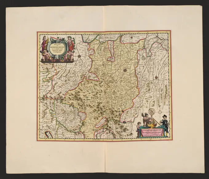
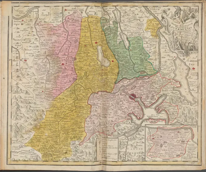
Historical Maps of France

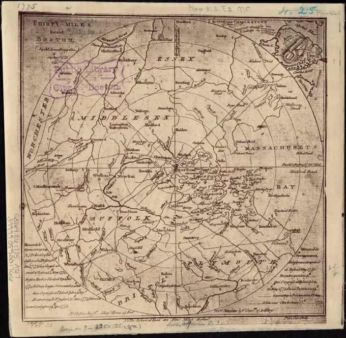
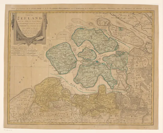
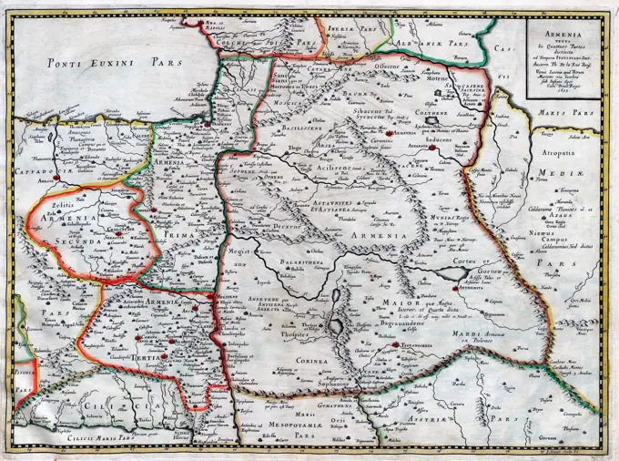
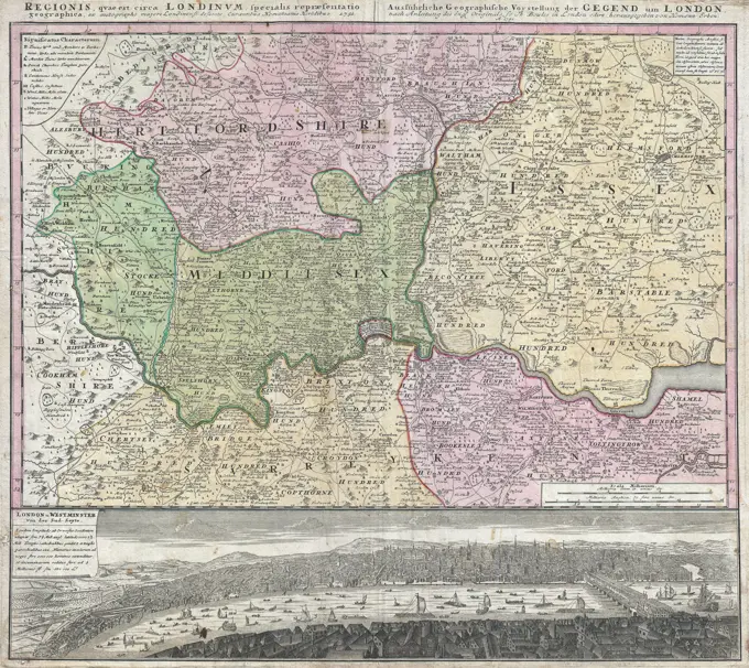
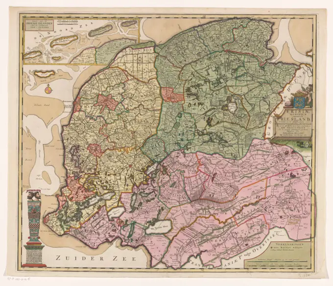
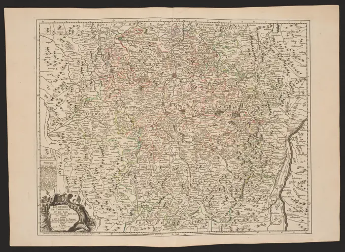
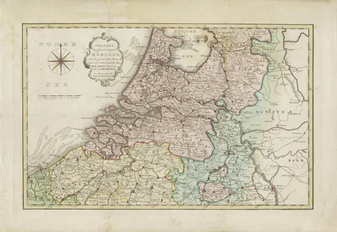
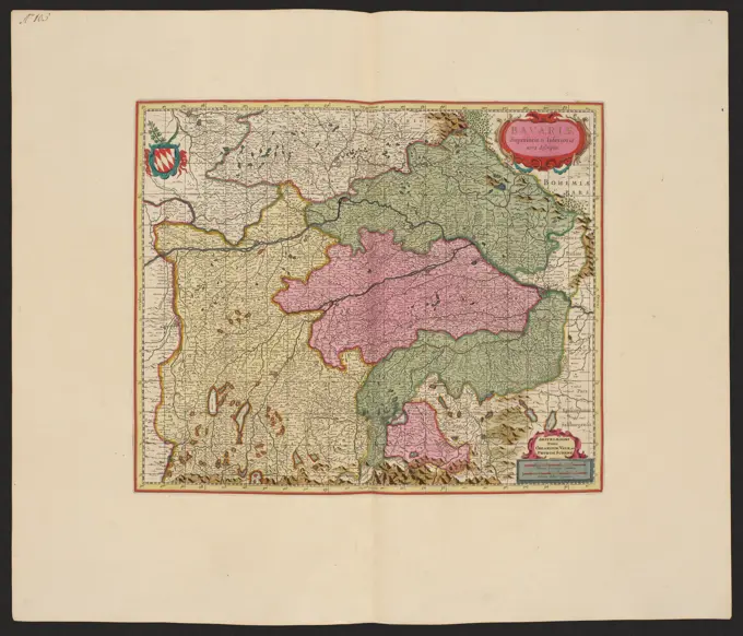
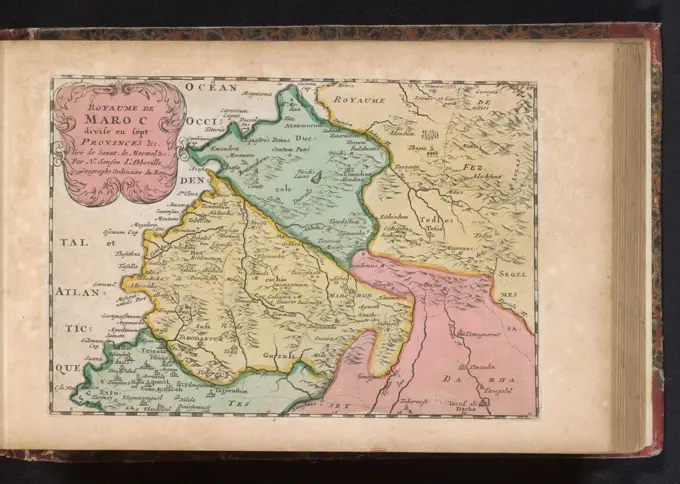
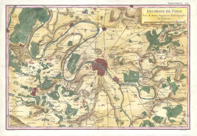
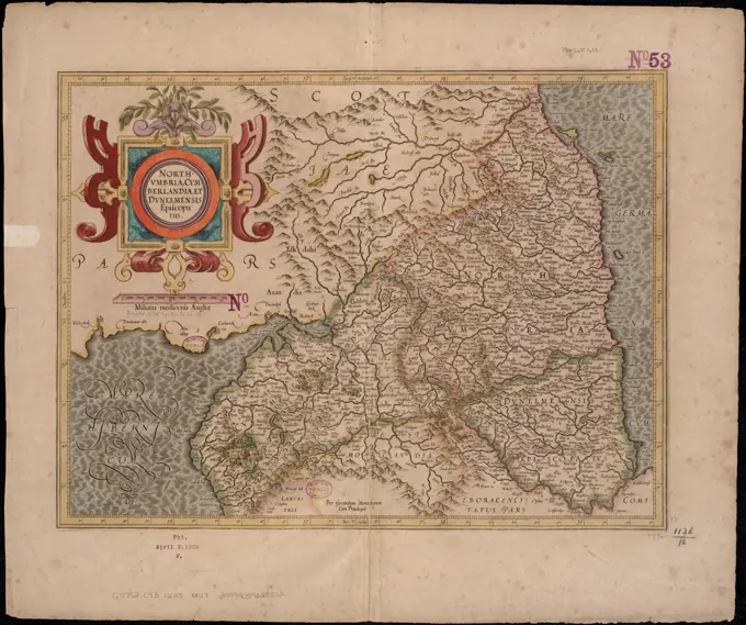
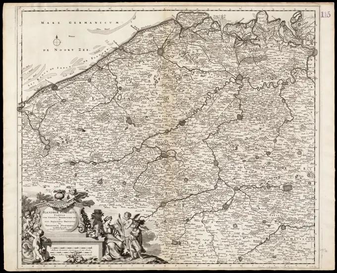
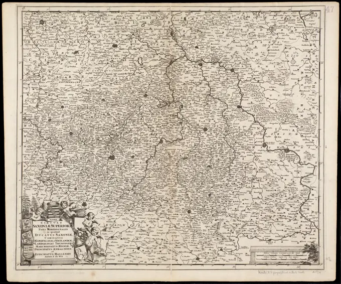
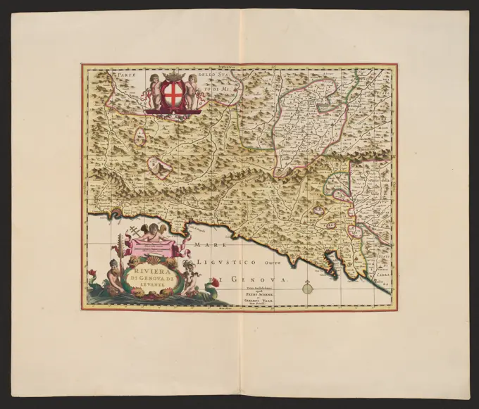
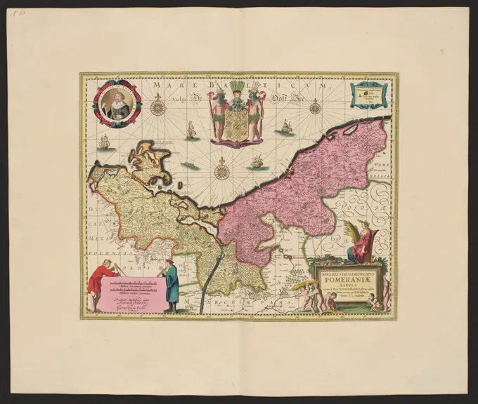
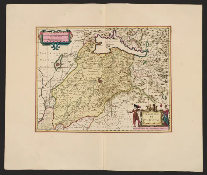
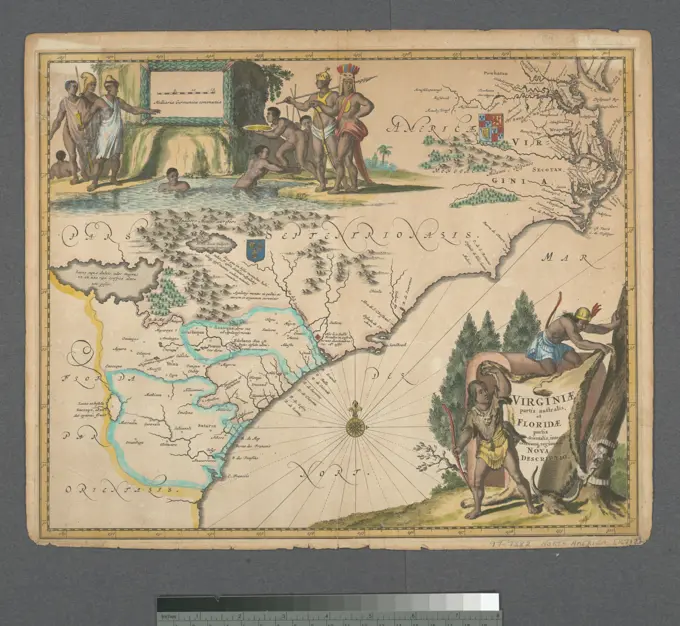
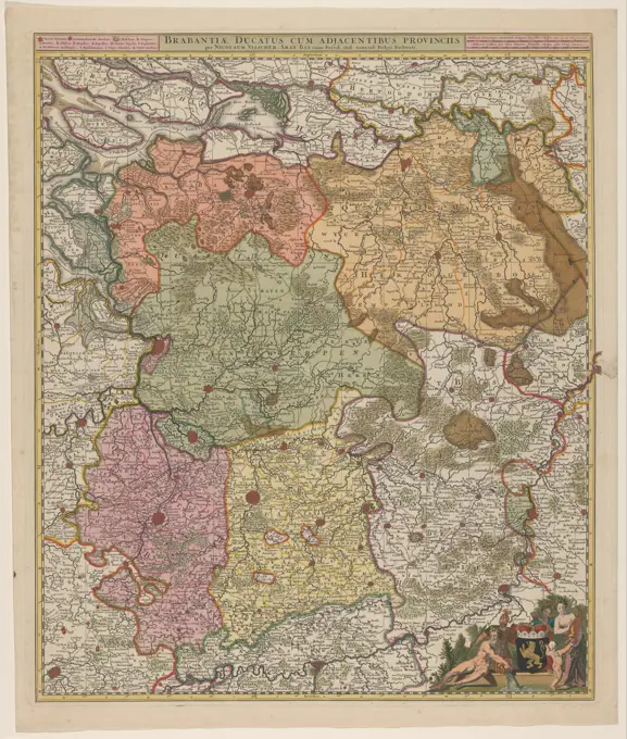
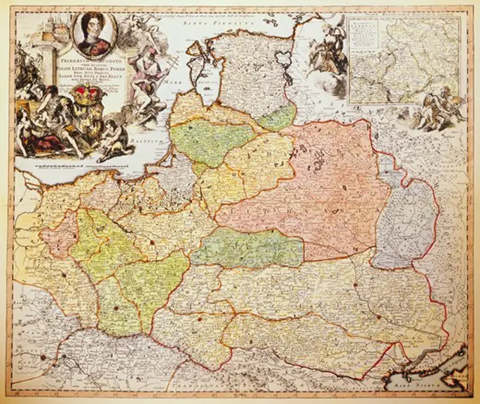
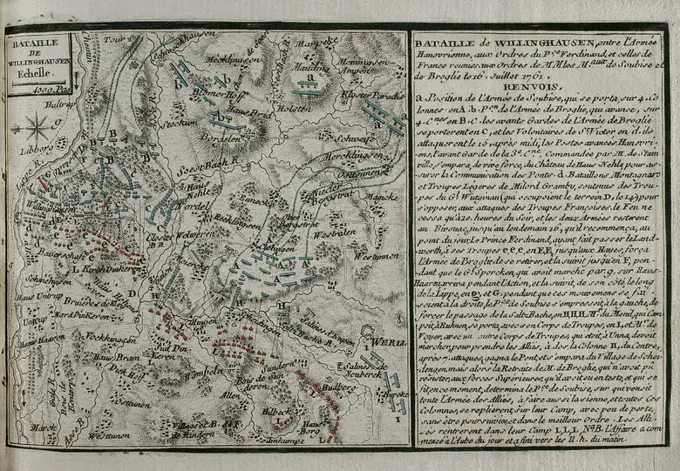
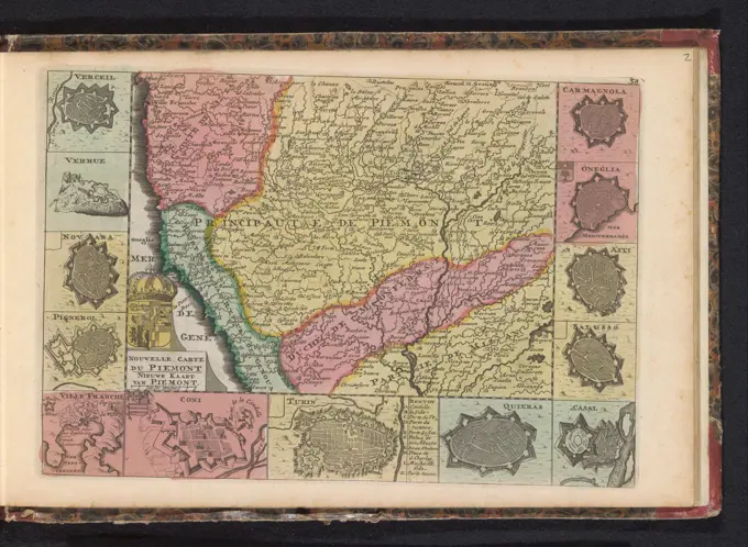
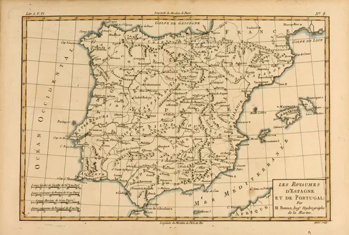
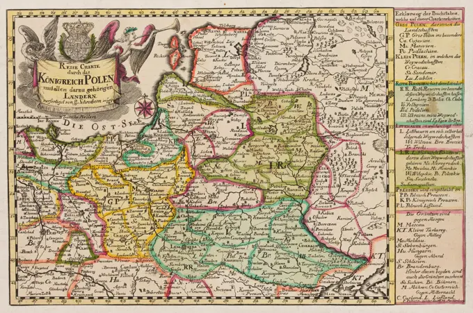
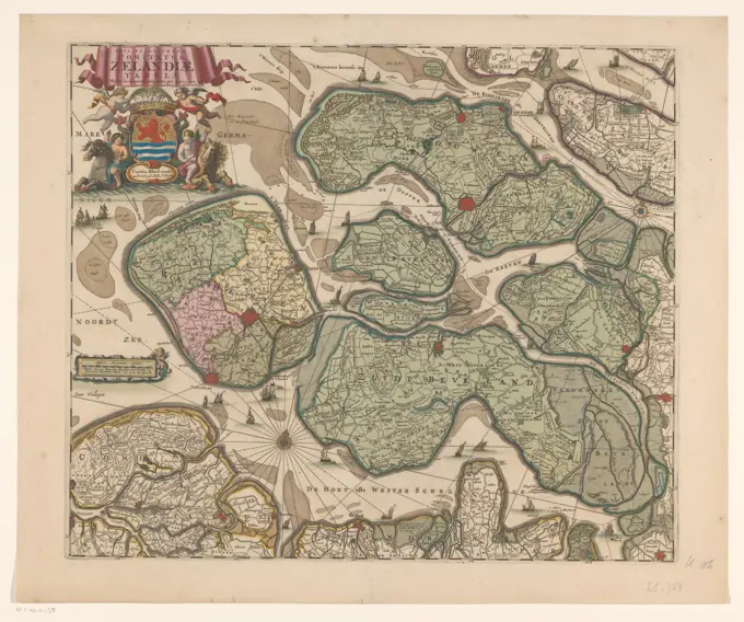
Collection of early maps detailing regions of France, with intricate designs and annotations, illustrating geographical and cultural contexts.

Quercy : Cadurcium , Midi-Pyrénées France, Maps, Early works to 1800 Norman B. Leventhal Map Center Collection
PLANO DEL PARTIDO TERRITORIAL DE ZIEZA - ALBACETE - AÑO 1784. Author: LOPEZ TOMAS. Location: SERVICIO GEOGRAFICO DEL EJERCITO. MADRID. SPAIN.Nouvelle carte physique, politique & routière de l'Europe : indiquant les grandes voies de communication par mer et par terre , Europe, Maps Norman B. Leventhal Map Center CollectionNouvelle carte physique, politique & routiere de l'Europe : indiquant les grandes voies de communication par mer et par terre. Relief shown by hachures. Prime meridian: Paris. Includes table of German states, table of distances and note about distances... Carte routiere des chemins de fer de l'Europe a l'usage des voyageurs. Carte routiere des chemins de fer de l'Europe a l'usage des voyageurs, Europe EuropeFirst and Grander Part of the Gantzen Hochlobl. Franck Craisses in which the Bisthumer Bamberg, Würtzburg and Aichstett the Marg gr. Culmbach and Onoltzbach the Hertzogt Coburg, Furstent. Schwartzenberg, Graffsch. Hohenlo., Castel, Limburg and Seinsheim, the Nurnberg area and the half of the adjoining Obern Pfaltz. Circuli Franconie pars Orientalis et Potior Novissime Delineata, Quam Illustrissimis Generosissimis AC Exalentissimis DN DN TOTI CJRC. Francon. Legatis Pro Salute Publ. Norimbergae Congregati Dominis Suis Gratiosia Humillime; Schenck, Pieter (1660-1711), Valck, Gerard (1651 Aut 1652-1726), Janssonius, Johannes (1588-1664); 1711 (1711-00-00-1711-00-00); Pobrano Z Systemu Muza Muzeum Narodowego W Warszawie; Graficzne / C / C2 / Miedzioryt Kolorowany; Wyroby z W ókien / paper / paper czerpany / paper Eberkowy; Wys. 56.5 cm, Szer. 49.6 cm; Kart.438/2/84 mnw; Wszystkie Prawa Zastrze One.cartography maps ancient Israel copper engraving ""Atlas Novus"" by Georg Matthaeus Seutter printed by Peter von Bhelen Vienna 1728 private collection,The Gulfs of Arabia and Persia with the adjacent regions 1798 - 1804. Cartographic. Maps, Atlases. Lionel Pincus and Princess Firyal Map Division. Atlases , Great Britain, Maps in education , England, Historical geography, Persian GulfAmerica Cartographic. Maps. 1635. Lionel Pincus and Princess Firyal Map Division. Indians of South America , Maps , Early works to 1800, Western Hemisphere , Maps , Early works to 1800, America , Maps , Early works to 1800, America , Discovery and exploration , Early works to 1800Map of the Southern Netherlands; Provinciae Belgii Regii Distinctae EO, Quo Sunt Hodie Divisae Modo Inter Regem Galliae, Hispaniae (...). Map of the Southern Netherlands, in the middle of a cartouche with the title and the publishing address. Some putti at the cartouche, two of which are at a globe, on which 'Belgii Regii'. Between the putti a young woman on the back of a lion. The woman and the lion both fixed a coat of arms.Map of Pays de la Loire and surrounding areas, Anonymous, After Gerard Valck, After Leonardus Valck, 1685 - 1726 print The cities of Nantes, Tours, Blois, Troyes and Orléans are found on this card. This print is part of an album. after design by: Amsterdamafter design by: AmsterdamThe Hague paper engraving maps of separate countries or regions Pays de la LoireKt. 20: Map of the Erzgebirgian circle in the Electoral Saxony, approx. 1: 120 000, Copper engraving, 1757Map of a part of South Holland, Anonymous, After Balthasar Florisz. Van Berckenrode, 1633 print Map of a part of South Holland around the Biesbos. Bottom left a cartouche with the title and a bowl: Milliare Germanicum Commune. Orientation: north on the right. On Verso French text. Amsterdam paper engraving / etching / letterpress printing maps of separate countries or regions South-HollandSecunda Africae tabula , Africa, North, Maps, Early works to 1800 Norman B. Leventhal Map Center CollectionSiege of Sluis by the State Army under Maurits, 1604, 1604 print The siege of Sluis by the State Army under Maurits, early May - August 19, 1604. Map of Sluis and the surrounding area in Flanders to Antwerp and Ghent. With armies that travel through the country. Germany paper etching siege, position war. maps of separate countries or regions LockHistorical map of the Netherlands with the areas of the Batavians and Frisians, 1725 print Map of the Frisian areas in the southern Netherlands in Roman times. At the bottom right cartouche with title, around it, shepherds with a herd of sheep are depicted. Scale above cartouche: Triens Gradus. Degree distribution along the left and right edge.  paper engraving / etching maps of separate countries or regions. herding, herdsman, herdswoman, shepherd, shepherdess, cowherd, etc. NetherlandsNovissima totius Lausonii sive Lemani Lacus ... 1766. Cartographic. Maps. Lionel Pincus and Princess Firyal Map Division. Italy , Maps, Switzerland , MapsCanton Freiburg sive Pagus Helvetiae Friburgensis ... 1767. Cartographic. Maps. Lionel Pincus and Princess Firyal Map Division. Italy , Maps, Switzerland , MapsOromansaci, et Gesoriacus Pagus in Morinis : evesché de Boulogne ou sont les Comté et seneschaussée de Boulenois : Balliage de Calais dans le Pays Reconquis : Souveraineté d'Ardres, etc , Catholic Church. Diocese of Boulogne-sur-Mer France, Maps, Early works to 1800, Boulogne-sur-Mer France, Maps, Early works to 1800 Norman B. Leventhal Map Center CollectionPamplonae et iacetanorum episcopatus; Schenck, Pieter (1660-1711), Valck, Gerard (1651 cars 1652-1726); 1711 (1711-00-00-1711-00-00);Map of Lombardy, Anonymous, 1735 Map of the region between the Italian cities of Brescia, Bergamo and Milan, roughly corresponding to the current Lombardy. Part of an atlas with 223 maps of countries and cities and war scenes in Europe in the period ca. 1690-1735. print maker: Northern Netherlandspublisher: Amsterdampublisher: Amsterdam paper engraving / lacquering  Lombardije. Brescia. Bergamo. Milaan Map of the region between the Italian cities of Brescia, Bergamo and Milan, roughly corresponding to the current Lombardy. Part of an atlas with 223 maps of countries and cities and war scenes in Europe in the period ca. 1690-1735. print maker: Northern Netherlandspublisher: Amsterdampublisher: Amsterdam paper engraving / lacquering  Lombardije. Brescia. Bergamo. MilaanMap of north Germany. Atlas de l'Histoire du Consulat et de l'Empire. History of the Consulate and the Empire of France under Napoleon by Marie Joseph Louis Adolphe Thiers (1797-1877). Drawings by Dufour, engravings by Dyonnet. Edited in Paris, 1864.Thirty-miles round Boston , Boston Mass., Maps, Early works to 1800 Norman B. Leventhal Map Center CollectionIulacensis ducatus; Schenck, Pieter (1660-1711), Valck, Gerard (1651 cars 1652-1726), Janssonius, Johannes (1588-1664); 1711 (1711-00-00-1711-00-00);Map of the Seventeen Provinces, Anonymous, 1696 - 1729 print Map of the seventeen provinces. At the top right the title cartouche with, among others, Minerva, Cybele, River gods and the Dutch Virgin with Lion. At the top left a cartouche with legend and information about the number of cities per province, above that Fama. Among them a few figures, including a self -portrait of Carel Allard that points to the letter A with a Burijn in hand. Bottom left a frame with two scale sticks: 7 Milliaria Germanica Communia / 8 Milliaria Gallica Communia. The card is equipped with a search schedule and a degree distribution along the edges.  paper engraving / etching maps of separate countries or regions. river-gods Low Countries. BelgiumCharte des Konigreichs Daenemark : nach Murdochischer Projection und nach den trigonometrischen Charten der Konig. Relief shown by hachures. Chart of the Kingdom of Denmark after Murdoch's projection.... , DenmarkMap of the Republic of the Seven United Netherlands, 1787 - 1792 print At the top left Cartouche with French and Dutch title and the weapons of the Republic and the Seven Provinces. At the bottom right Cartouche with legend and scale: Hollandsche Mylen or Uuren going / Lieues d'Olande ou Heures de Chemin, common German Mylen / Lieues communes d'Altemagne. Degree distribution along the edges.  paper engraving / etching maps of separate countries or regions. coat of arms (as symbol of the state, etc.) NetherlandsMap of Zeeland, Anonymous, 1785 print Along the top the French title. At the top left a cartouche with the German title, a fishnet, a caduceus and a rowing spane. Among them four scale sticks: Deutsche Oder Geographic Meilen 25 AUF 1 Grad; And three others. With search rack and degree distribution along the edges.  paper engraving maps of separate countries or regions. fishing net. caduceus (staff with two snakes, attribute of Mercury) ZeelandMap of Armenia, Sanson Atlas, circa 1700Historical map of the Netherlands with the areas of the Batavians and Frisians, 1747 - 1759 print Map of the Netherlands at the time of the Batavians. At the top left a cartouche entitled decorated with attributes of fishing, yacht and agriculture. print maker: Netherlandspublisher: Amsterdam paper etching / engraving maps of separate countries or regions Netherlands1741 Homann View and Map of London, England and EnvironsMap of Kennemerland and West -Friesland, Coenraet Decker, 1682 - 1686 print Along the top the title. At the top left the family weapons of the Dijkgraaf and two water councils. At the top right the coat of arms of the Water Board of the outstanding locks in Kennemerland and West-Friesland and the family arms of two water councils and the steward. At the bottom in the middle a bowl: 15 hundred Rhijnland rod, or 1 hour Gaens. Orientation: North left.  paper engraving / etching maps of separate countries or regions. coat of arms (as symbol of the state, etc.) Kennemerland. West Friesland. North HollandMap of Friesland, c. 1703 print At the top left of Vlieland, Terschelling, Ameland and Schiermonnikoog, with two scale sticks: Duck Meil 15 in a degree, hour 20 in a degree. At the bottom left image of the statue the Stone Man in Harlingen. Rights of TitleCartouche with the arms of Friesland above it. At the bottom right legend and two scale sticks: common German Meilen 15 in a degree, each of each of 1200 rods rods. Degree distribution along the edges.  paper engraving / etching maps of separate countries or regions. coat of arms (as symbol of the state, etc.) FrieslandMap of the Netherlands with the war situation of 1672-73, Anonymous, 1690 - 1700 print Map of the Netherlands and parts of the surrounding countries. A line has been signed on the map that indicates which areas the Republic lost to France and its allies in 1672-73 and which areas were retained. Above the map, the naval battles from the years 1672-1673 have been presented. Bottom left the title cartouche, below a bowl: this is 20 hours of gaens, or 15 Duytsche Mylen.  paper engraving / etching maps of separate countries or regions. battle (+ naval force). cupids: 'amores', 'amoretti', 'putti' Low Countries. Belgium. North SeaSuperioris Atque Inferioris Alsatiae Tabula Perquam Accurata et Exacta, Proximis regionib. Iucunde huic insertis; Schenck, Pieter (1660-1711), Valck, Gerard (1651 cars 1652-1726), Janssonius, Johannes (1588-1664); 1711 (1711-00-00-1711-00-00);Les Duchans de Lorraine et de Bar, Les Eveches de Metz, Toul. et Verdun; Beauin, Jean (1696-1772); 1763 (1763-00-00-1763-00-00);Vintage war map. Siege and conquest of Aire by Louis XIII in 1641  by J.Blaeu, 1649Map of the war theater in the Austrian Netherlands, 1794, Cornelis van Baarsel, 1794 print Map of the war theater in the Austrian Netherlands, at the time of the second invasion of the French in 1794. print maker: Northern Netherlandspublisher: Amsterdam paper etching / engraving maps of separate countries or regions Southern NetherlandsLa principavte d'Orange et comitat de Venaissin; Schenck, Pieter (1660-1711), Valck, Gerard (1651 cars 1652-1726); 1711 (1711-00-00-1711-00-00);Brandenburg; Stridbeck, Johann (1665-1714; m CA 1700 (1700-00-00-1710-00-00);Bavariae Superioris et Inferioris Nova Descriptio; Schenck, Pieter (1660-1711), Valck, Gerard (1651 cars 1652-1726), Janssonius, Johannes (1588-1664); 1711 (1711-00-00-1711-00-00);Atlas, map from 1623, Bourbonois, Borbonium, France, digitally restored reproduction from an engraving by Gerhard Mercator, born Gheert Cremer, 5 March 1512, 2 December 1594, geographer and cartographer, EuropeLa Campagna di Roma il Patrimonio di S. Pietro e la Sabina , Lazio Italy, Maps, Early works to 1800 Norman B. Leventhal Map Center CollectionMAPA DE LA PROVINCIA DE TOLEDO, COMPREHENDE LOS PARTIDOS DE TOLEDO, ALCALA, OCAÑA, TALAVERA Y ALCAZAR DE SAN JUAN, 1768, GRABADO COLORE. Author: LOPEZ TOMAS. Location: ACADEMIA DE LA HISTORIA-COLECCION. MADRID. SPANIEN.1818 Pinkerton Map of Northern Italy ( Tuscany, Piedmont, Milan, Venice )A new and accurate map of the country twenty-five miles round London : on which are delineated from an actual survey, His Majesty's palaces, noblemen and gentlemen's seats, cities, market towns, villages, churches, cottages, rivers, mills, parks, woods, heaths & remarkable hills, all the turnpike and cross roads; with the distances from place to place, according to the mile stones by John Andrews, land surveyor, 1783. Relief shown by hachures. "Publish'd as the Act directs, Septr. 10th. 1777." Prime meridians: St. Paul's and Greenwich... Map of twenty five miles round, London. Map of twenty five miles round, London, England  , LondonNova Virginiae tabula, 1671, by Jacob van Meurs (1619-1680). The map is notable for its depiction of Virginia and is categorized under early works to 1800. It was issued in Amsterdam, and the publisher is Jacob Meurs. The extent of the map is 1 hand-colored map measuring 29 x 36 cmAn accurate map of the county of Essex, divided into its hundreds , Essex England, Maps, Early works to 1800 Norman B. Leventhal Map Center CollectionRegnum Bohemia, eique annexae provinciae ut Ducatus Silesia marchionatus Moravia, et Lusatia quae sunt terrae haereditariae imperatoris , Czech Republic, Maps, Early works to 1800, Bohemia Czech Republic, Maps, Early works to 1800, Germany, Maps, Early works to 1800, Poland, Maps, Early works to 1800 Norman B. Leventhal Map Center CollectionMap of the Southern Netherlands, Justus Danckerts, Staten van Holland en West-Friesland, 1696 - 1701DVCato di Modena Regio et Capri Col Dominio della Carfagnana; Schenck, Pieter (1660-1711), Valck, Gerard (1651 cars 1652-1726); 1711 (1711-00-00-1711-00-00);Map of the city of Antwerp and its surroundings, Claes Jansz. Visscher (II), 1634 - 1720 print Map of the city of Antwerp and its surroundings. At the bottom right a cartouche with scale: 2000 Passus Communes. Below, in the middle, a bet with a map of the course of the Scheldt. Under the deployment the Wapen van Antwerpen, with Latin on the left, and right Dutch text. Above, in the middle, seen a face on Antwerp from the Scheldt. Below, to the left of the middle, a face on Antwerp from the direction of Zevenbergen and Breda. Under, to the right of the middle, a face on Antwerp from the direction of Mechelen and Brussels. Along the left side of the map, from top to bottom, faces on the Onze-Lieve-Vrouwekathedral, the Sint-Michielsabdij, the Mariapoort, the Sint-Augustinus church and the Handelsbeurs, in Antwerp. Along the right side of the map, from top to bottom, faces on the town hall, the Sint-Carolus Borromeus Church, the Sint-Jorispoort, the Onze-Lieve-Vrouwbroederskerk and the OosNouvelle carte de la Crimée & toute La Mer Noire dupuis bender jusqu à Azoff & pais Circonvoisins 1737. Cartographic. Maps. Rare Book Division. Early maps, Russia, Black Seacartography maps Prussia copper engraving ""Atlas Novus"" by Georg Matthaeus Seutter printed by Peter von Bhelen Vienna 1728 private collection,La France Suivant Les Nouveles Observations Divisee Parlemens et Toutes SES PROVINCES; Beauin, Jean (1696-1772); 1763 (1763-00-00-1763-00-00);Map of Zeeland, Anonymous, 1741 - 1757 print At the top left two scale sticks: Milliaria Germanica Communia; Milliaria Gallica Communia. This includes the Wapen van Zeeland flanked by Fortuna (left) and Fama (right), including Neptunus and Mercury surrounded by ships and trade goods. The map is equipped with a coordinates network and degrees distribution along the edges.  paper engraving / etching maps of separate countries or regions. Fortuna as Roman personification. Fama as Roman personification. (story of) Neptune (Poseidon). (story of) Mercury (Hermes). trade, commerce and finance. bony fishes: hippocampus ZeelandCanton Lucern sive illustris Helvetiorum Respublica Lucernensis, ... 1763. Cartographic. Maps. Lionel Pincus and Princess Firyal Map Division. Switzerland , MapsValentine: Map of the Kingdom of Lover (Das Reich der Liebe). Artist: Breitkopf & Härtel (German). Dimensions: Sheet: 9 1/16 × 11 7/16 in. (23 × 29 cm). Date: 1777.This is a very rare trial proof of cartography printed from type composition by the famous German eighteenth century printer, Breitkopf, in Leipzig, Germany. Dated 1777, this is a Valentine, created as a Map of Matrimony, and labeled "The Kingdom of Love". The various "lands" are depicted with several titles, from The Land of Lust, and the Land of Fixed Ideas, to The Land of Youth, and the Land of Happy. This would have been a very special Valentine for a unique audience. Museum: Metropolitan Museum of Art, New York, USA.A new and exact map of the United Provinces, or Netherlands &c. Cartographic. Maps, Atlases. 1736. Lionel Pincus and Princess Firyal Map Division. NetherlandsAustria, STATE; Stridbeck, Johann (1665-1714; m CA 1700 (1700-00-00-1710-00-00);Map of the Empire of Germany : including all the states comprehended under that name : with the Kingdom of Prussia, &c , Europe, Central, Maps, Early works to 1800, Germany, Maps, Early works to 1800 Norman B. Leventhal Map Center CollectionMap of Morocco, Anonymous, 1735 Map of the Kingdom of Morocco. Part of an atlas with 223 maps of countries and cities and war scenes in Europe in the period ca. 1690-1735. print maker: Northern Netherlandspublisher: Amsterdam paper engraving / lacquering  Morocco Map of the Kingdom of Morocco. Part of an atlas with 223 maps of countries and cities and war scenes in Europe in the period ca. 1690-1735. print maker: Northern Netherlandspublisher: Amsterdam paper engraving / lacquering  Morocco1780 Bonne Map of the Environs of Paris, FranceMap of Luxembourg, Anonymous, 1735 Map of Luxembourg. Part of an atlas with 223 maps of countries and cities and war scenes in Europe in the period ca. 1690-1735. print maker: Northern Netherlandspublisher: Amsterdampublisher: Amsterdam paper engraving / lacquering  Luxembourg (Belgian province) Map of Luxembourg. Part of an atlas with 223 maps of countries and cities and war scenes in Europe in the period ca. 1690-1735. print maker: Northern Netherlandspublisher: Amsterdampublisher: Amsterdam paper engraving / lacquering  Luxembourg (Belgian province)Ducatus Breslanus sive wratislaviensis; Schenck, Pieter (1660-1711), Valck, Gerard (1651 cars 1652-1726), Janssonius, Johannes (1588-1664); 1711 (1711-00-00-1711-00-00);Map of Suriname, Joachim Ottens, 1713 - Before 1718 print Map of Suriname, yellow, the areas colored. Mountains, vegetation and buildings, filed branches. At the top right of the compass rose, with scale in German miles and hours. Especially the area to the east of Paramaribo, the northeastern part of the current Suriname. publisher: Amsterdamprint maker: Northern Netherlands paper engraving maps of separate countries or regions SurinameMap of Holland and Utrecht, 1589, Jan Saenredam, After Jacob van Deventer, After Abraham Ortelius, 1613 print Map of the Graafschap Holland De Heerlijkheid Utrecht with parts of Friesland, Gelderland and Brabant, 1589. At the top left the coat of arms of the Graafschap Holland. At the bottom left a passer with three scale sticks underneath: Miliaria Parua / Cleijne Mylen; Miliaria meditoria / Middelbaer miles; Miliaria Magna / Grote Mylen. To the right of the title cartouche. Inscriptions in the plate in Dutch and Latin. Numbered below: 36. Orientation: North left. The top left corner of the plate broken off.  paper engraving maps of separate countries or regions. coat of arms (as symbol of the state, etc.) Holland. EemlandNorthumbria, Cumberlandia, et Dunelmensis Episcopatus , England, Northern, Maps, Early works to 1800 Norman B. Leventhal Map Center CollectionMAPA-ESPAÑA Y PORTUGAL DIVIDIDA EN REINOSY PRINCIPADOS-1708. Author: IAILLOT H. Location: BIBLIOTECA NACIONAL-COLECCION. MADRID.LUBELSKA; Stridbeck, Johann (1665-1714; m CA 1700 (1700-00-00-1710-00-00);Perigrinatie ofte veertich-iarige reyse der kindern Israels, uyt Egypten door de Roode Zee, ende de woestyne, tot in't beloofde Landt Canaan. Shows the route of the Israelites from Egypt to Canaan. Oriented with north toward the upper right. Relief shown pictorially. Includes illustrations of scenes from the Old Testament. Text on verso, both pages, titled: Korte beschryvinge van de reyse der Kinderen Israels, uyt Ægypten, door de Woestyne, in't Lant van Beloften. From: Biblia ... Dordrecht : Pieter Keur ; Amsteldam : Pieter Rotterdam, ca. 1716 In Dutch.... , State of Palestine IsraelNovissima Flandriae comitatus tabula cum omnibus praefecturis, ect : et suis adjacentis provinciis , Flanders, Maps, Early works to 1800 Norman B. Leventhal Map Center CollectionCirculi Saxoniae superioris pars meridionalis in qua sunt ducatus Saxoniae, comitatus Mansfeldiae, et Voitlandiae, landgraviat Thuringiae, marchionatus Misniae, principatus Anhaltinus, et episcopatus Hallensis , Saxony Germany, Maps, Early works to 1800 Norman B. Leventhal Map Center Collection1775 Janvier Map of Holland and BelgiumRiviera di Genova di Levante; Schenck, Pieter (1660-1711), Valck, Gerard (1651 cars 1652-1726); 1711 (1711-00-00-1711-00-00);Secunda Europe tabula , Iberian Peninsula, Maps, Early works to 1800, Spain, Maps, Early works to 1800, Portugal, Maps, Early works to 1800 Norman B. Leventhal Map Center CollectionQuinta Asie tabula continet Assyriam, Susianam, Medos, Persidem, Hyrcaniam, Parthiam & Carmania desertam , Iran, Maps, Early works to 1800 Norman B. Leventhal Map Center CollectionMap of Denmark, 1726; Le Danemarc, Suivant Les Nouvelles Observations (...); Les Forces de l'Europe, Asie, Afrique et Amerique (...) Comme Aussi Les Cartes des Côtes de France et d'Espagne. Map of Denmark. Plate No. 436 in Part XVIII of the Picture: Les Forces de l'Europe, Asia, Afrique et amic ... Comme Aussi Les Cartes des Côtes de France et d'Espagne from 1726, this second part with 271 by hand Numbered Plates of renowned strong cities and fortresses in the context of the Spanish Succession War 1701-1713. For most part, these plates have been copied to the anonymous French plates of renowned strong cities and fortresses: in Les Forces de l'Europe and in: Le Theater de la Guerre, Dans Les Pays-Bas, both originally published by Nicolas de Fer in Paris (1693-1697) In the context of the nine-year war. Title and inscriptions in French.Map of Southern Europe and North Africa, Anonymous, 1730-1774 print The trade routes in North Africa are precisely displayed on the map. Numbered in the bottom right: 34.  paper engraving maps of separate countries or regions South Europe. Italy. Spain. North-AfricaMap of Drenthe; Pais De Drente. Map of Drenthe. Part of an Atlas with 223 maps of countries and cities and war scaffolding in Europe in the period approx. 1690-1735.Map of the Seventeen Provinces, 1748 print At the top left title with the weapons of the seventeen provinces. Bottom left six scale sticks: Milliaria Germanica Comm. 15 in Gradu; Milliaria Hollandia et Brabantica 20 in Gradu; And four others. In addition, legend and explanation. The map is equipped with a coordinates network and a degree distribution along the edges.  paper engraving maps of separate countries or regions. coat of arms (as symbol of the state, etc.) Low CountriesNova Illvstrissimi dvcatvs pomeraniae tabvla; Schenck, Pieter (1660-1711), Valck, Gerard (1651 cars 1652-1726), Janssonius, Johannes (1588-1664); 1711 (1711-00-00-1711-00-00);Scandinavia , Scandinavia, Maps, Early works to 1800 Norman B. Leventhal Map Center CollectionTerritoria di Verona; Schenck, Pieter (1660-1711), Valck, Gerard (1651 cars 1652-1726); 1711 (1711-00-00-1711-00-00);Virginiae partis australis, et Floridae partis orientalis, interjacentiumque regionum, nova descriptio. Cartographic. Maps. 1671. Lionel Pincus and Princess Firyal Map Division. South Atlantic States , Maps , Early works to 1800Map of the Duchy Brabant, Gilliam van der Gouwen, 1677 - 1720 print Map of the Duchy of Brabant. In a beam above the map, in the middle, the title. To the left of this a legend. To the right of the title two scale sticks: 4 1/2 common Duytsche miles of 15 in a degree / 6 French mylen or hours of 20 in a degree. At the bottom right the coat of arms of the Duchy of Brabant. The card is equipped with a search rack and a degree distribution.  paper engraving maps of separate countries or regions. coat of arms (as symbol of the state, etc.) (+ province; provincial) Brabant. Antwerpcartography maps Kingdom of Poland during the reign of King Augustus II copper engraving by P. Schenkius Amsterdam 1705 private collection,Seven Years War (1756-1763). Map of the Battle of Vellinghausen (July 15-16, 1761). It took place on the banks of the Lippe River in North West Germany. Confronted the allied Prussian-Hanoverian-British army led by Prince Ferdinand of Brunswick against the French army under the command of the Duc de Broglie and the Prince Soubise. The French force had to retreat. Published in 1765 by the cartographer Jean de Beaurain (1696-1771) as an illustration of his Great Map of Germany, with the events that took place during the Seven Years War. Allied army in red and the French army in blue. Etching and engraving. French edition, 1765. Military Historical Library of Barcelona (Biblioteca Histórico Militar de Barcelona). Catalonia. Spain. Author: Jean de Beaurain (1696-1771). French geographer.Map of Piemonte, Anonymous, 1735 Map of the Italian region of Piemonte. To the map thirteen smaller floor plans of cities. Part of an atlas with 223 maps of countries and cities and war scenes in Europe in the period ca. 1690-1735. print maker: Northern Netherlandspublisher: Amsterdam paper etching / engraving / lacquering  Piedmont Map of the Italian region of Piemonte. To the map thirteen smaller floor plans of cities. Part of an atlas with 223 maps of countries and cities and war scenes in Europe in the period ca. 1690-1735. print maker: Northern Netherlandspublisher: Amsterdam paper etching / engraving / lacquering  PiedmontMap of Spain and Portugal, circa. 1760. From 'Atlas de Toutes Les Parties Connues du Globe Terrestre ' by Cartographer Rigobert Bonne. Published Geneva circa. 1760.Map of the Graafschap Vlaanderen, Anonymous, 1695 - 1711 print Map of the Graafschap Vlaanderen. The title above the map. Bottom left a cartouche with four scale sticks: 3 3/4 Milliaria Germanica Communia / 5 Milliaria Gallica Sive Horae Itineris, and two others. Above the cartouche a frame with legend. At the top left a performance with Minerva and Neptunes at the Wapen van het Graafschap Vlaanderen. The map is equipped with a coordinates network and a degree distribution along the edges.  paper engraving / etching maps of separate countries or regions. coat of arms (as symbol of the state, etc.) (+ province; provincial). (story of) Neptune (Poseidon). (story of) Minerva (Pallas, Athena) Flanders. County of Flanders. ZealandLuxembourg map; Le Dvché de LVX-EMBOFRG. Luxembourg map. Part of an Atlas with 223 maps of countries and cities and war scaffolding in Europe in the period approx. 1690-1735.Western Opole; Stridbeck, Johann (1665-1714; m CA 1700 (1700-00-00-1710-00-00);Reise Kharty Durch Das Königreich Polen Mit Allen Darz Gehörigen Laendern; Schreiber, Johann Georg (1676-1750); 1733-1763 (1733-00-00-1763-00-00);Poland, the Polish -Lithuanian Commonwealth (coat of arms), roads, heraldic cartouches, mapsMap of the Southern Netherlands, ca. 1701-1702; Image of the chair of the war in the Netherlands, or the countries of Brabant, Flanders, Henegouwe, Namur and Luyck, with Hunen Wensen.Map of the Southern Netherlands, The Battlefield of the Spanish Succession War in the 19201-1702.Map of Zeeland, Anonymous, 1692 - 1750 print At the top left the title with the Wapen van Zeeland underneath. Left under the middle a bowl: Milliare Germanicum Commune / Schale of 2000 Bloysche rods a common Duytsche Myle of 15 in a Graedt. Degree distribution along the edges.  paper etching / engraving maps of separate countries or regions. coat of arms (as symbol of the state, etc.) (+ province; provincial) ZeelandClivia dvcatus et raavestein dominivm; Schenck, Pieter (1660-1711), Valck, Gerard (1651 cars 1652-1726), Janssonius, Johannes (1588-1664); 1711 (1711-00-00-1711-00-00);A new map of ancient Germany, Rhætia, Vindelicia, and Noricum, showing their principal people, tribes, cities, towns, rivers, mountains, etc., 1700, Sheldonian Theatre, Oxford. Additional, Germany. Published in 1700 by Printed at the Theater. Themes include Atlases, British Geography, Ancient Maps in education, and EnglandMAPA : DIVIDIDO EN SEIS QUADRILLASDE PROVINCIA DE ALAVA, REEDITADO EN 1816/1818. Author: LOPEZ TOMAS. Location: ACADEMIA DE LA HISTORIA-COLECCION. MADRID. SPANIEN.Dominium venetum in Italia; Schenck, Pieter (1660-1711), Valck, Gerard (1651 cars 1652-1726); 1711 (1711-00-00-1711-00-00);Map of the Rhine Internal Area, Willem Janszoon Blaeu, 1636  Map of the Rhine area, north right, folding map R.B. Dedicated to D. Andrea Bickerus by Willem Blaeu, but it is visibly scratched in the plate to remove what was underneath. Assignment + coat of arms + allegorical figure, r.o. Inscription surrounded by animals and allegorical figures. L.B. row coats of arms held by putti: v.l.n.r. Switzerland, Alsace, Paltin Rheni, Archdiocese Mogun, Archdiocese Trier, Archdiocese of Cologne, Kleef, Gelderland, Utrecht and Holland. Scale French, German miles. Amsterdam paper engraving maps of separate countries or regions RhineMap of the Southern Netherlands, Anonymous, 1677 - 1720 print Map of the Southern Netherlands. At the top left the title cartouche. At the bottom right two scale sticks: 5 Mill Germanica Communia / 8 Milliaria Gallica Sive Horae Itineris. The card is equipped with a search schedule and a degree distribution along the edges.  paper engraving maps of separate countries or regions. armorial bearing, heraldry. river personified, 'Fiumi' (Ripa) - HH - ideal landscapes. (story of) Minerva (Pallas, Athena). attributes of Minerva Southern Netherlands. Belgium