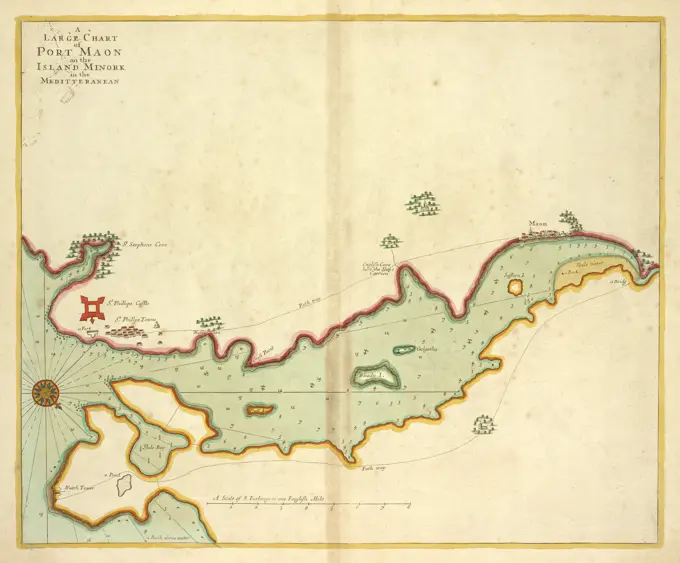
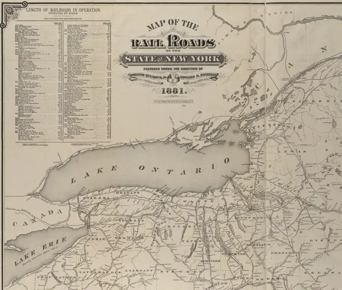
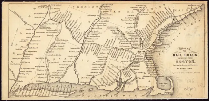
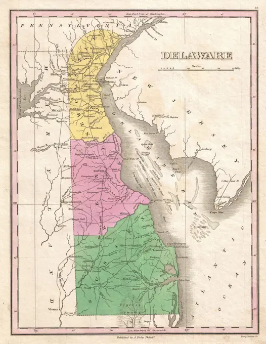
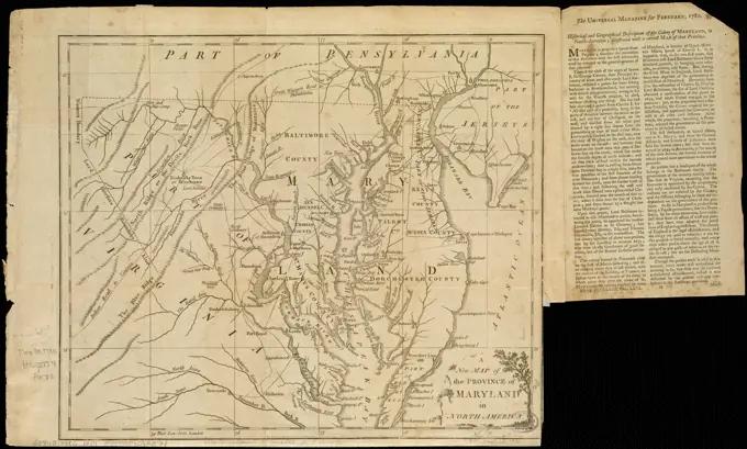
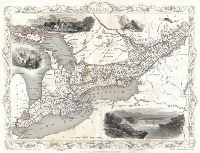
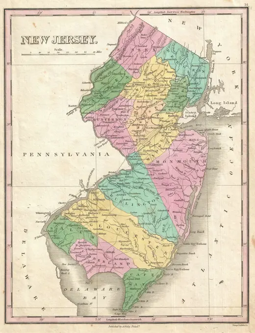
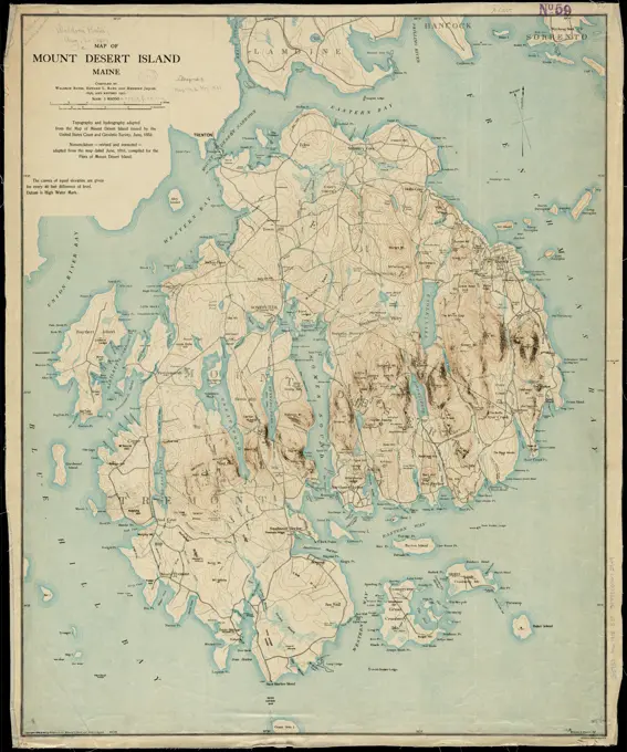
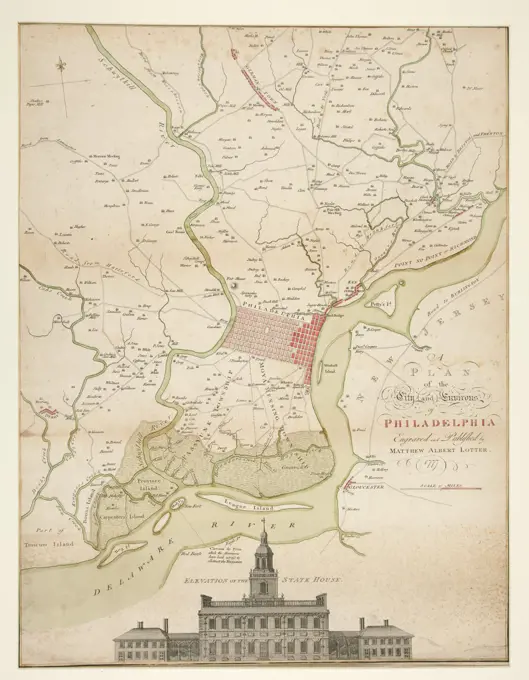
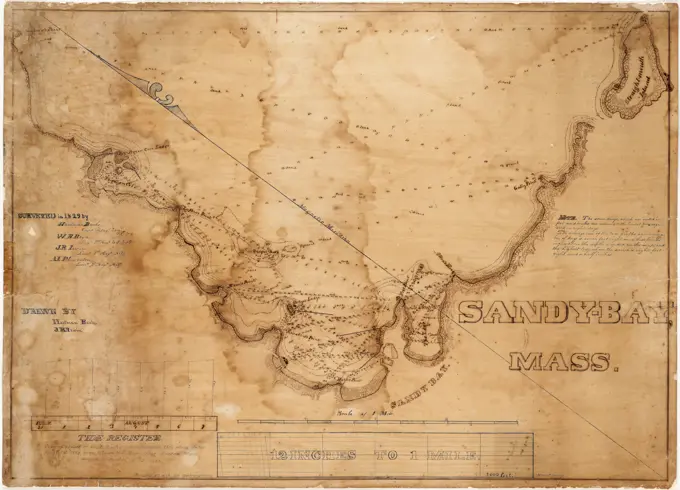
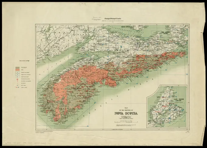
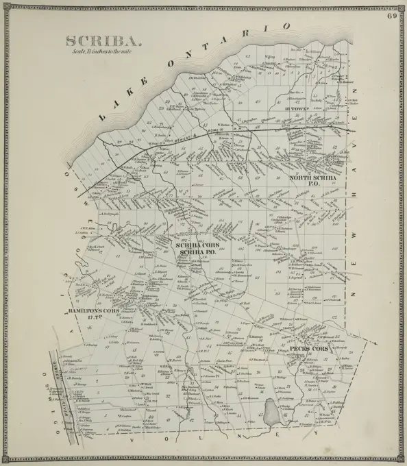
Historical Maps of North America
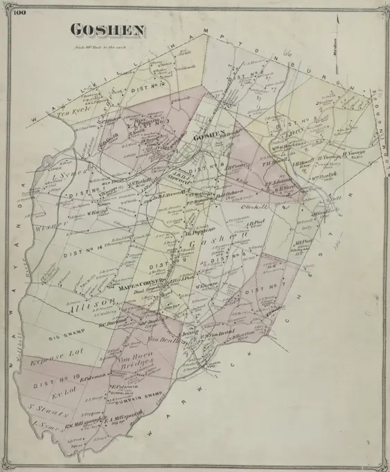
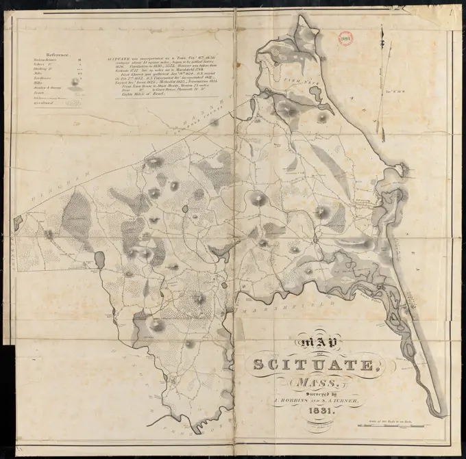
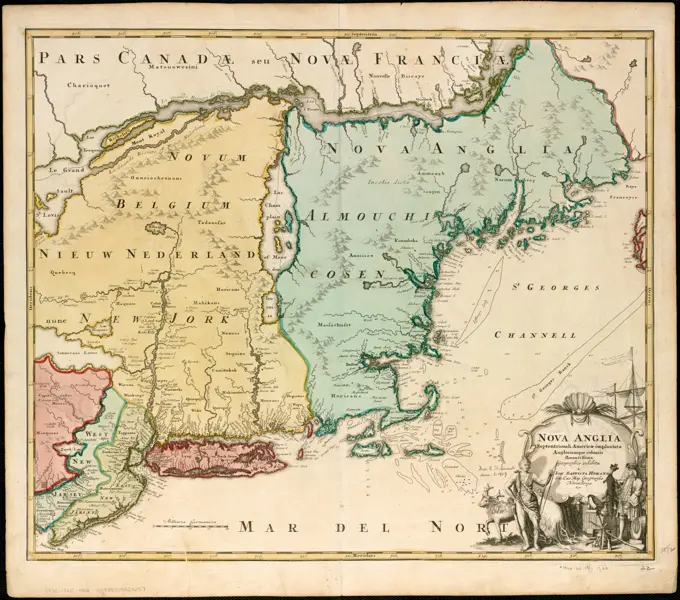
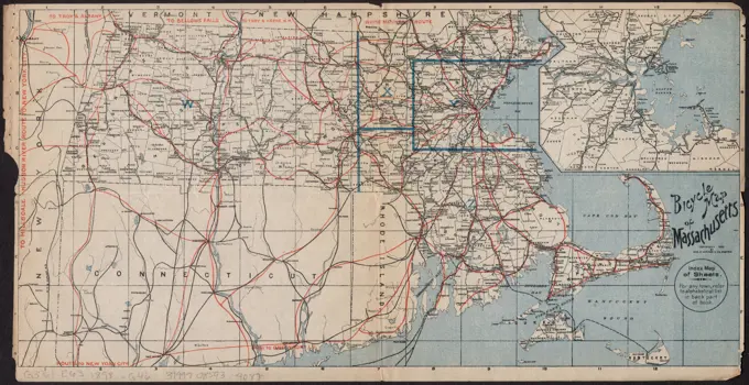
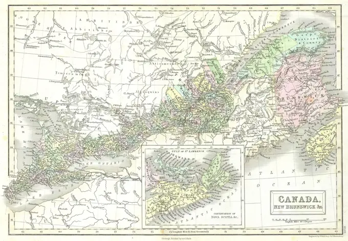
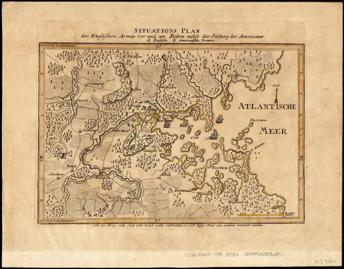
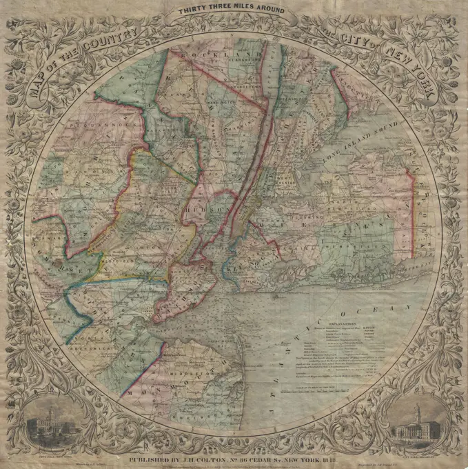
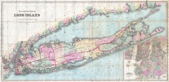
A selection of early maps showing areas in New England, New York Harbor, and Canada, detailing geography and postal routes. A map of Zambesia from 1891, published by Edward Stanford Ltd. in London. The map is in color and measures 50 x 40 cm 332 assets in this story6145-559591436145-559567644443-754745346145-487193066145-290965256145-505712906145-559560934443-754713806145-559164256145-513974936145-505693146145-559563566145-290951846145-292550836145-487183946145-505682886145-551806096145-559156186176-619051086145-505692486145-513915596145-559159126145-559168016145-290964536145-505716346145-290968046145-513944711788-358386145-542679816145-290965406145-505659046145-290968076145-542695116145-290965546145-505683666145-595932926145-559149966145-559145626176-669041956145-559133646145-513921434443-195867206145-513969344220-29334443-18226145-505680326145-513948996145-542675096176-660948774443-754767126145-290964086145-513920956145-559131226145-513883871899-202252316145-513947341889-603976936145-505672726145-505713644443-754603836145-559150736145-559171086145-559149996145-559179636145-438615996145-487193296145-290964236145-513944786145-559561046176-660946571788-366226145-487274246145-505528696145-487555896145-505526226145-290948776145-505486276145-513880956145-487181156145-290947396145-290967196145-505318806145-290962256145-513980296145-290956976145-505677661746-300172436145-505690136145-505681666145-290965516188-645830466145-487183076145-551806886145-513947004409-209218346145-542678946145-484806981899-191354884443-754715626145-50446728 PREVIOUS of 4 NEXT