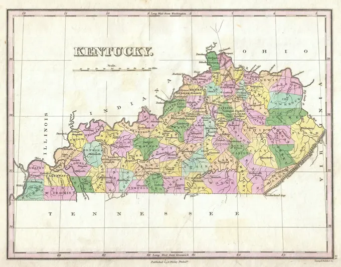
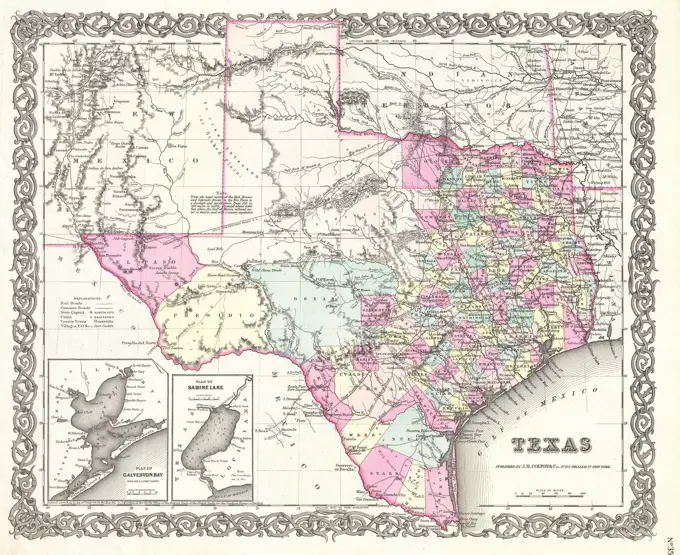
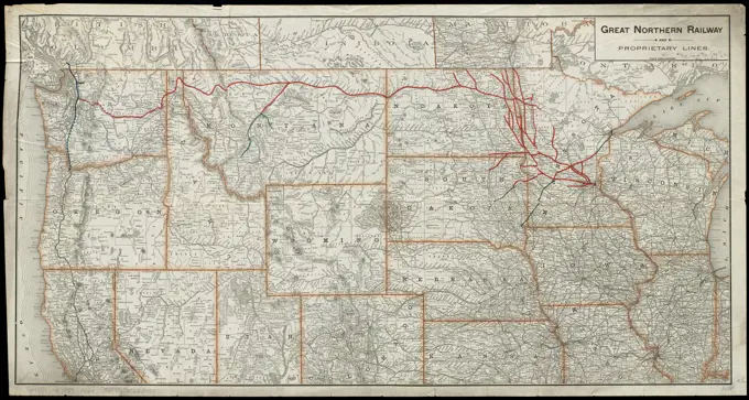
Historical Maps of the American South

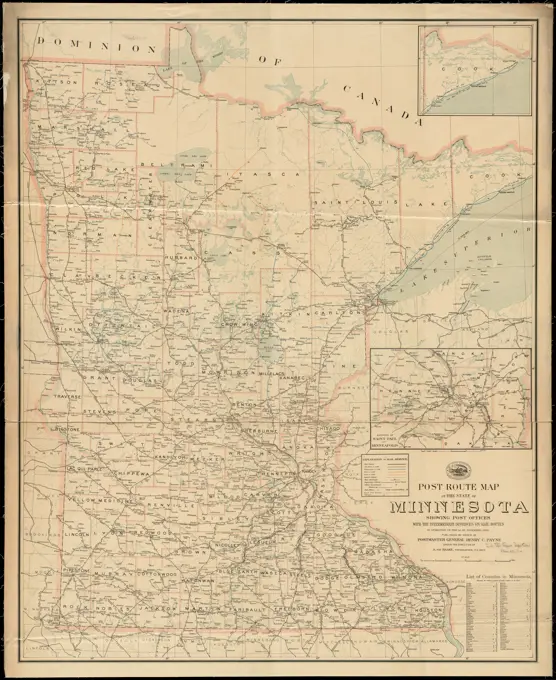
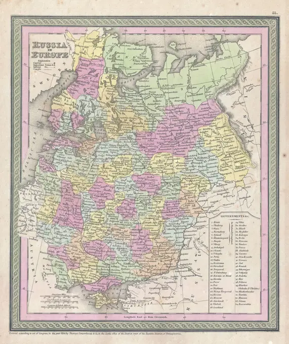
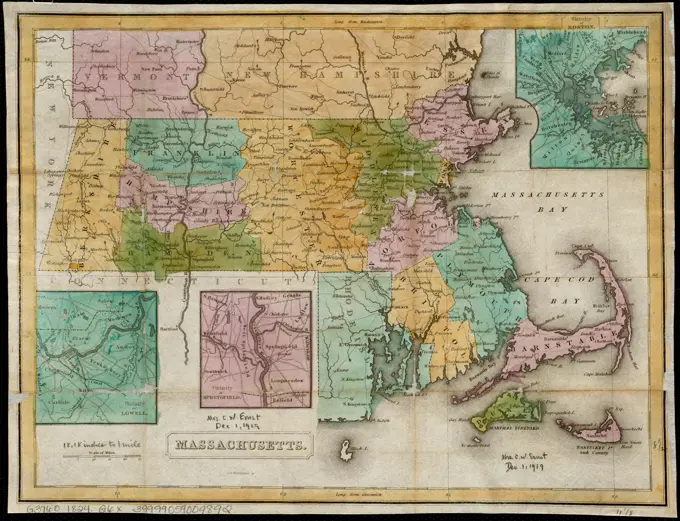
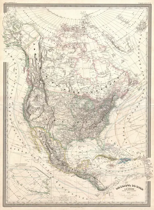
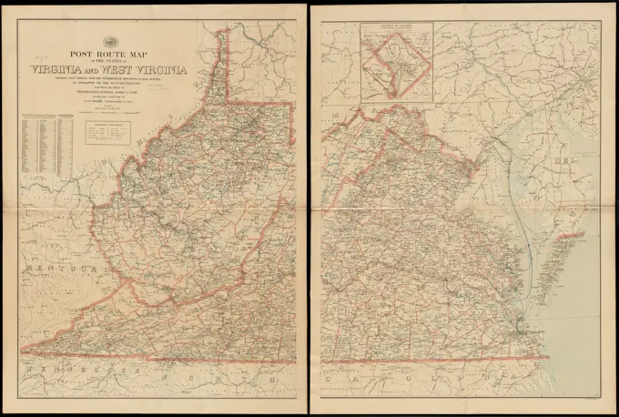
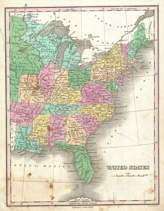
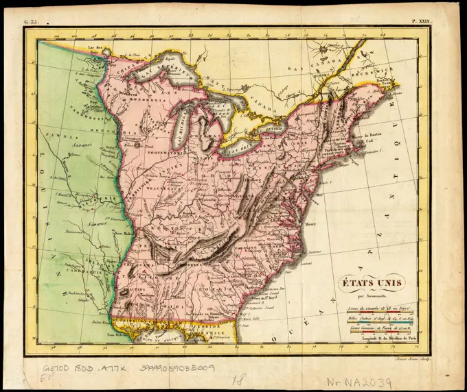
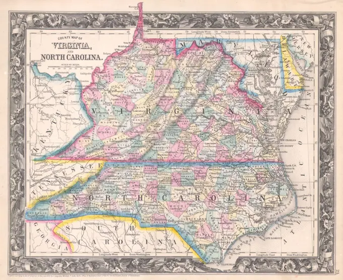
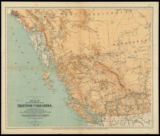
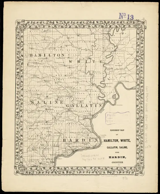
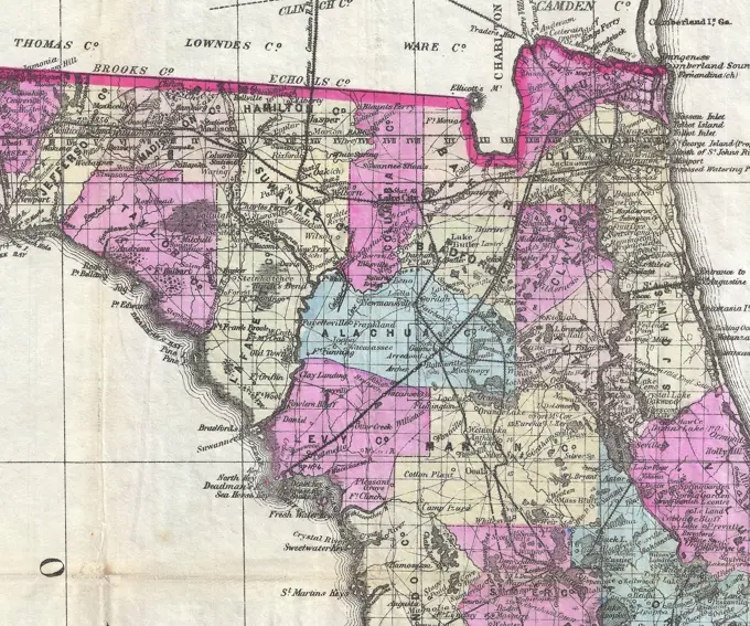
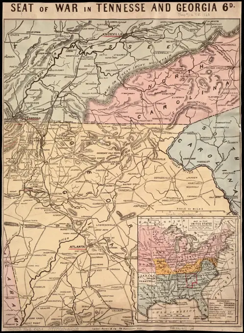
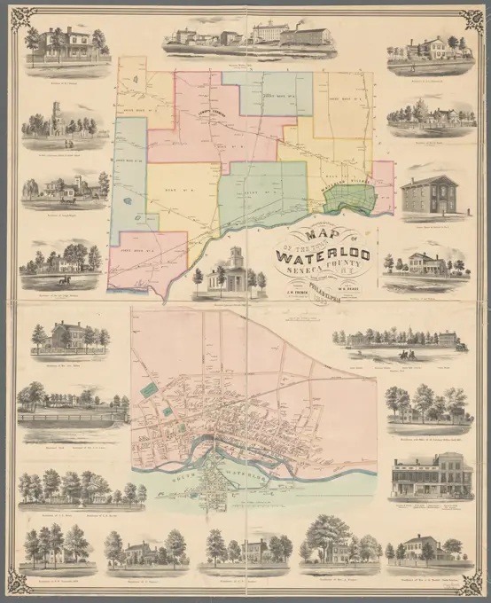
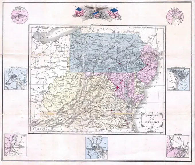
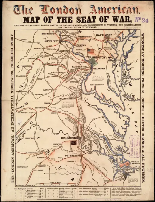
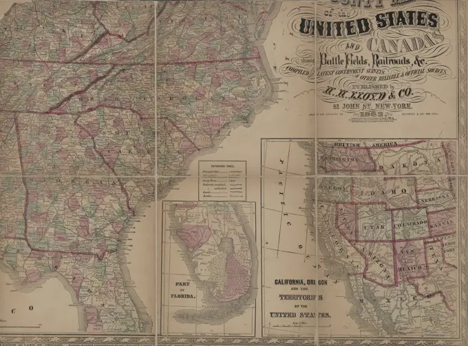
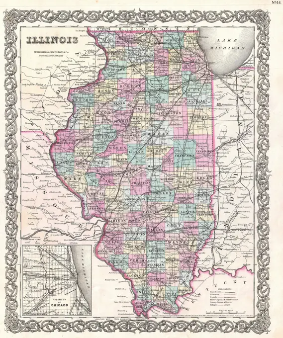
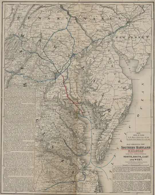
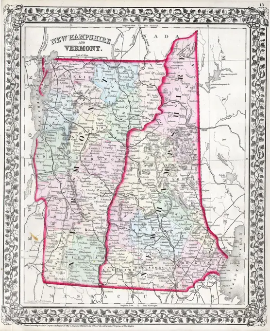
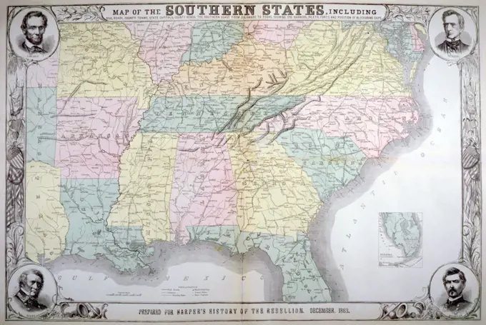
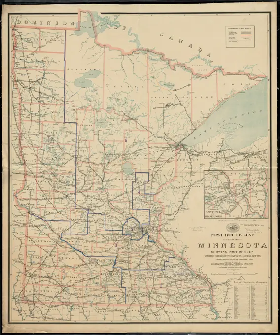
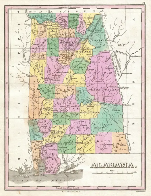
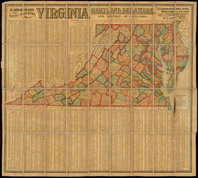
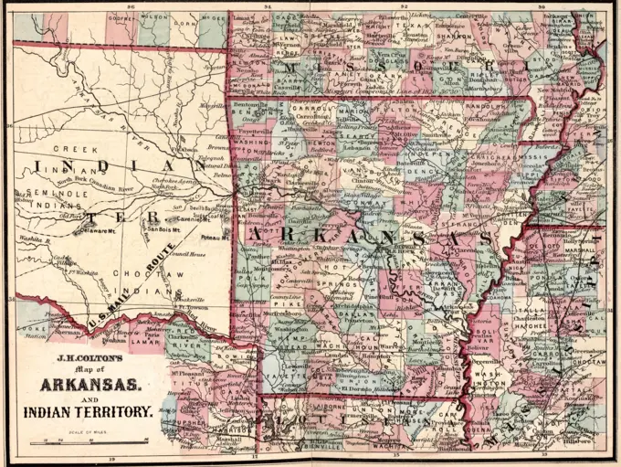
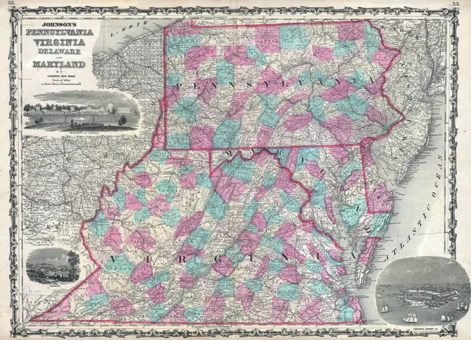
Collection of vintage maps depicting the southwestern United States, Arkansas, and Tennessee with geographical and postal routes.

Post route map of the states of Illinois, Iowa, and Missouri with adjacent parts of Indiana, Wisconsin, Minnesota, Nebraska, Kansas and Arkansas showing post offices with the intermediate distances and mail routes in operation on the 1st of October 1891 , Counties, Illinois, Maps, Counties, Iowa, Maps, Counties, Missouri, Maps, Postal service, Illinois, Maps, Postal service, Iowa, Maps, Postal service, Missouri, Maps, Railroads, Illinois, Maps, Railroads, Iowa, Maps, Railroads, Missouri, Maps, Illinois, Maps, Iowa, Maps, Missouri, Maps Norman B. Leventhal Map Center Collection
Post route map of the states of North Carolina and South Carolina showing post offices with the intermediate distances and mail routes in operation on the 1st of December, 1897 , Counties, North Carolina, Maps, Counties, South Carolina, Maps, Postal service, North Carolina, Maps, Postal service, South Carolina, Maps, Railroads, North Carolina, Maps, Railroads, South Carolina, Maps, North Carolina, Maps, South Carolina, Maps Norman B. Leventhal Map Center CollectionState of Missouri , Railroads, Missouri, Maps, Missouri, Maps Norman B. Leventhal Map Center CollectionGillette's map of Madison Co., New York : from actual surveys , Real property, New York State, Madison County, Maps, Landowners, New York State, Madison County, Maps, Madison County N.Y., Maps Norman B. Leventhal Map Center CollectionPost route map of the state of Minnesota showing post offices with the intermediate distances and mail routes in operation on the 1st of December, 1903. Also shows counties and railroads. Inset: Environs of Saint Paul and Minneapolis. Includes list of counties showing relative position.... , MinnesotaCrawford County, Wis. , Crawford County Wis., Maps, Manuscript maps Norman B. Leventhal Map Center CollectionState of Illinois , Illinois, Surveys Norman B. Leventhal Map Center CollectionPost route map of the State of Minnesota with adjacent parts of Iowa, Nebraska, Dakota, Wisconsin and of the British possessions, showing post offices with the intermediate distances and mail routes in operation on the 1st of October 1891 , Counties, Minnesota, Maps, Railroads, Minnesota, Maps, Postal service, Minnesota, Maps, Minnesota, Maps Norman B. Leventhal Map Center Collection1853 Mitchell Map of RussiaIndian Territory , Indian Territory, Maps, Oklahoma, Maps Norman B. Leventhal Map Center CollectionMassachusetts. Includes insets: Vicinity of Boston, Vicinity of Lowell, Vicinity of Springfield.... , Massachusetts1857 Dufour Map of North AmericaPost route map of the states of North Carolina and South Carolina showing post offices with the intermediate distances and mail routes in operation on the 1st of December, 1897. Also shows counties and railroads. Includes lists of counties showing relative position.... , North Carolina South CarolinaPost route map of the State of Alabama showing post offices with the intermediate distances on mail routes in operation on the 1st. of December, 1897 , Counties, Alabama, Maps, Postal service, Alabama, Maps, Railroads, Alabama, Maps, Alabama, Maps Norman B. Leventhal Map Center CollectionPost route map of the State of Colorado showing post offices with the intermediate distances and mail routes in operation on the 1st of December 1895 , Counties, Colorado, Maps, Railroads, Colorado, Maps, Postal service, Colorado, Maps, Colorado, Maps Norman B. Leventhal Map Center CollectionMilitary map of Pennsylvania , Military geography, Pennsylvania, Maps, Military camps, Pennsylvania, Maps, Pennsylvania, Armed Forces, Maps, Pennsylvania, Maps Norman B. Leventhal Map Center CollectionPost route map of the states of Ohio and Indiana with adjacent parts of Pennsylvania, Michigan, Illinois, Kentucky and West Virginia showing post offices, with the intermediate distances between them and mail routes in operation on 1st August 1883 , Postal service, Indiana, Maps, Postal service, Ohio, Maps Norman B. Leventhal Map Center CollectionCarte de la Virginie, du Maryland et de l'etat de Delaware , Virginia, Maps, Early works to 1800, Maryland, Maps, Early works to 1800, Delaware, Maps, Early works to 1800, Southern States, Maps, Early works to 1800 Norman B. Leventhal Map Center CollectionColton's new topographical map of the states of Virginia, Maryland & Delaware, showing also eastern Tennessee & parts of other adjoining states. Relief shown by hachures. Prime meridians: Greenwich and Washington. Includes population figures for Virginia, Marlyland, District of Columbia, and Delaware... Colton's map of the states of Virginia, Maryland & Delaware showing eastern Tennessee and parts of the adjoining states. Colton's map of the states of Virginia, Maryland & Delaware showing eastern Tennessee and parts of the adjoining states, Virginia West Virginia Maryland DelawareThe National Publishing Company's topographic map of the White Mountains and central New Hampshire. This map is based upon the latest U.S. Gov't, state and private surveys and original field work. Relief shown by contours and spot heights. Includes index to post offices and railroad stations, principal lakes and streams, and principal mountains... Topographic map of the White Mountains and central New Hampshire. Topographic map of the White Mountains and central New Hampshire, New Hampshire  , White MountainsCarte de la Virginie, du Maryland et de l'etat de Delaware. Relief shown pictorially. Prime meridians: Paris and Ferro. In upper right margin: Pl. 5. Appears in Hilliard d'Auberteuil's Essais historiques et politiques sur les Anglo-Americains.... , Virginia Maryland Southern United States  ,area  DelawareOutline Map of Steuben Co. Cartographic. Atlases, Maps. 1873. Lionel Pincus and Princess Firyal Map Division. Steuben County (N.Y.), Real property , New York (State) , Steuben County, Business enterprises , New York (State) , Steuben CountyPost route map of the state of Ohio showing post offices with the intermediate distances on mail routes in operation on the 1st. of December, 1897. Also shows railroads and counties. Inset: City of Cincinnati and environs. Includes list of counties showing relative position.... , OhioThe tourist's pocket map of the state of Ohio : exhibiting its internal improvements, roads, distances &c , Counties, Ohio, Maps, Ohio, Maps, Ohio, Boundaries, Michigan, Maps Norman B. Leventhal Map Center Collection1827 Finley Map of OhioPost route map of the states of Virginia and West Virginia showing post offices with the intermediate distances on mail routes in operation on the 1st of December, 1897. Also shows railroads and counties. Inset: District of Columbia with portions of adjacent states. Includes list of counties showing relative position.... , Virginia West VirginiaMap of the surveyed part of Michigan , Michigan, Maps Norman B. Leventhal Map Center Collection1827 Finley Map of the United StatesArizona , Railroads, Arizona, Maps, Arizona, Maps Norman B. Leventhal Map Center CollectionMap of the state of Alabama , Alabama, Maps Norman B. Leventhal Map Center CollectionEtats Unis. Relief shown by hachures. In upper margin: "G.35" and "P. XXIX." Map of the United States showing the land west of the Mississippi River still as Louisiana. Ohio is named as a state. Many Indian tribes and villages are named. A lead mine is located in today's northwestern Illinois. Florida is divided into the Spanish possessions of East and West Florida, Georgia extends to the Mississippi.... , United States1860 Mitchell Map of Virginia (undivided) and North CarolinaMap of the province of British Columbia. Shows roads, trails, railways, stations and post offices. Relief shown by hachures and spot heights. Shows parts of Northwest Territory, Athabasca, and Alberta; "provisional boundary" through Rocky Mountains. "Entered according to Act of the Parliament of Canada in the year 1892, by J.H. Brownlee, at the Department of Agriculture."... , Canada  , Province of British Columbia  ,provinceOfficial map of the territory of Dakota, showing the two general divisions of Dakota, South and North, the land districts, Indian reservations, counties, towns and railroads , Indians of North America, Dakota Territory, Maps, Indian reservations, Dakota Territory, Maps, Dakota Territory, Maps, North Dakota, Maps, South Dakota, Maps Norman B. Leventhal Map Center CollectionMAP OF RUSSIA AND ROMANIAState of Missouri , Missouri, Administrative and political divisions, Maps, Missouri, Historical geography, Maps Norman B. Leventhal Map Center CollectionTownship map of Hamilton, White, Gallatin, Saline, and Hardin, Counties , Gallatin County Ill., Maps, Hamilton County Ill., Maps, Hardin County Ill., Maps, Saline County Ill., Maps, White County Ill., Maps Norman B. Leventhal Map Center CollectionClemens' map of Pennsylvania. Double-sided puzzle, with a map of Pennsylania on one side and a map of the United States on the other. Pieces cut along Pennsylvania county lines.... , Pennsylvania1884 Drew Pocket Map of FloridaSeat of war in Tennesse and Georgia : 6D. Relief shown by hachures. Inset: Map of the United States showing the relative position of the seat of war (within the dark red line.)... , Georgia TennesseeMap of the State of Rhode Island, and Providence Plantations , Real property, Rhode Island, Maps, Landowners, Rhode Island, Maps, Rhode Island, Maps Norman B. Leventhal Map Center CollectionMap of the town of Waterloo, Seneca County, N.Y.: from actual surveys Map of the town and village of Waterloo, Seneca County, New York Wagner & MGuigan. Cartographic. Maps, Cadastral maps. 1855. Lionel Pincus and Princess Firyal Map Division. Landowners , New York (State) , Waterloo (Town), Landowners , New York (State) , Waterloo, Waterloo (N.Y. : Town), Waterloo (N.Y. : Town) , Administrative and political divisions, Waterloo (N.Y.), New York (State) , WaterlooA new and general map of the middle dominions belonging to the United States of America, viz. Virginia, Maryland, the Delaware-counties, Pennsylvania, New Jersey &c. with the addition of New York, & of the greatest part of New England &c as also of the bordering parts of the British possessions in Canada , East U.S., Maps, Early works to 1800 Norman B. Leventhal Map Center CollectionPreliminary map of Kentucky , Kentucky, Maps Norman B. Leventhal Map Center CollectionMap of Iowa. Relief shown by hachures. Includes list of land offices and population of Iowa counties in 1840 and 1850. Decorative border. "Entered according to act of Congress in the year 1855 by Ensign, Bridgman, & Fanning in the clerk's office of the district court for the southern district of New York.".. Ensign, Bridgman & Fanning's map of Iowa. Ensign, Bridgman & Fanning's map of Iowa, IowaPost route map of the states of New Hampshire, Vermont, Massachusetts, Rhode Island, Connecticut showing post offices with the intermediate distances on mail routes in operation on the 1st. of December, 1897 , Counties, New England, Maps, Postal service, New England, Maps, Railroads, New England, Maps, New England, Maps Norman B. Leventhal Map Center CollectionCarte des Etats-Unis de l'Amérique-Nord : pour servir aux observations géologiqueir , Geology, United States, Maps, United States, Maps Norman B. Leventhal Map Center CollectionThe United States of North America : with the British & Spanish territories according to the treaty. Relief shown pictorially. Second issue, 1783; 5 color key, 7 line note, St. Croix River detail. Cartouche includes scene of British merchants and slaves loading a boat, waterfall, etc. Conservation of this piece was funded by Alan and Sherry Leventhal in memory of his father, Norman B. Leventhal whose vision to create this Map Center will inspire generations to come. Map 32 in a composite atlas with the title "Atlas of the world."... , United StatesDisturnell's new map of the United States and Canada showing all the canals, rail roads, telegraph lines and principal stage routes , Canals, United States, Maps, Railroads, United States, Maps, Stagecoach lines, United States, Maps, Telegraph lines, United States, Maps, United States, Maps Norman B. Leventhal Map Center CollectionPost route map of the State of Alabama showing post offices with the intermediate distances on mail routes in operation on the 1st. of December, 1897 , Counties, Alabama, Maps, Postal service, Alabama, Maps, Railroads, Alabama, Maps, Alabama, Maps Norman B. Leventhal Map Center CollectionMap of the Fort Wayne, Lacon, & Platte Valley Air Line Railroad, with its eastern connections and proposed extension west in direction of the South Pass , Fort Wayne, Lacon and Platte Valley Air Line Railroad Company, Railroads, Middle West, Maps, Middle West, Maps Norman B. Leventhal Map Center CollectionColton's map of the New York wilderness New York wilderness Cartographic. Maps. 1872. Lionel Pincus and Princess Firyal Map Division. Adirondack Mountains (N.Y.), New York (State) , Administrative and political divisions, New York (State) , Adirondack Mountains (N.Y.)Post route map of the states of North and South Dakota with adjacent parts of Montana, Wyoming, Nebraska, Iowa and Minnesota and portions of the Dominion of Canada : showing post offices with the intermediate distances and mail routes in operation on the 1st of October 1891 , Counties, North Dakota, Maps, Counties, South Dakota, Maps, Postal service, North Dakota, Maps, Postal service, South Dakota, Maps, Railroads, North Dakota, Maps, Railroads, South Dakota, Maps, North Dakota, Maps, South Dakota, Maps Norman B. Leventhal Map Center CollectionHartwick Township; Hartwick Business Directory. Cartographic. Atlases, Maps. 1868. Lionel Pincus and Princess Firyal Map Division. Otsego County (N.Y.), Real property , New York (State) , Otsego CountyGeological map of Indiana, showing location of stone quarries and natural gas and oil areas. Plate from 19th Annual Report. "Wm. B. Burford, Lith., Indianapolis.". Geological maps could also be used to indicate location of oil and gas deposits, as seen by this late-19th-century example. This map of Indiana shows not only where coal and other industrial minerals are located, but also indicates sites of oil and natural gas basins and wells, and the pipeline systems in which to transport those resources. As was the case in West Virginia, oil and gas were first discovered in Indiana in the mid-19th century during salt mining operations. The area produced millions of barrels of oil until the early 20th century... , IndianaA new map of Texas, Oregon, and California with the regions adjoining. Relief shown by hachures. Prime meridians: Greenwich and Washington. Includes distances on the "emigrant route from Missouri to Oregon." Accompanied by text "Accompaniment to Mitchell's new map of Texas, Oregon, and California, with regions adjoining."... , Western United States  ,area1861 Appleton's Map of the Seat of the Civil War ( Pennsylvania, Virginia, Maryland, North CarolinaPost route map of the states of Kansas and Nebraska showing post offices with the intermediate distances on mail routes in operation on the 1st. of December, 1897 , Counties, Kansas, Maps, Counties, Nebraska, Maps, Postal service, Kansas, Maps, Postal service, Nebraska, Maps, Railroads, Kansas, Maps, Railroads, Nebraska, Maps Norman B. Leventhal Map Center CollectionOutline map of Massachusetts showing population according to the United States census of 1890, and Congressional Districts , United States. Congress, Election districts, Massachusetts, Maps, Massachusetts, Maps, Massachusetts, Population, Maps Norman B. Leventhal Map Center CollectionSouthern Mississippi and Alabama showing the approaches to Mobile , Mississippi, History, Civil War, 1861-1865, Maps, Alabama, History, Civil War, 1861-1865, Maps Norman B. Leventhal Map Center CollectionPost route map of the state of Illinois showing post offices with the intermediate distances on mail routes in operation on the 1st of December, 1895 , Counties, Illinois, Maps, Postal service, Illinois, Maps, Railroads, Illinois, Maps, Illinois, Maps Norman B. Leventhal Map Center CollectionA hand-colored military map titled 'Lloyd's new military map of the border & Southern States,' published by H.H. Lloyd & Co. in 1861. The map measures 75 x 105 cm and is presented on a larger sheet of 83 x 111 cm. The map depicts the railroads and geographic features of the Southern States during the American Civil War (1861-1865)Map of the seat of war, positions of the rebel forces, batteries, entrenchments, and encampments in Virginia-the fortifications for the protection of Richmond , Fortification, Virginia, Virginia, History, Civil War, 1861-1865, Maps Norman B. Leventhal Map Center CollectionMap of the seat of war, positions of the rebel forces, batteries, entrenchments, and encampments in Virginia-the fortifications for the protection of Richmond. Includes a mileage table. Reference is made in the lower margin to the "Battle of Bull's sic Run, fought on Sunday, the 21st July 1861, about 22,000 unionists and about 60,000 rebels were in the engagement." An earlier version of this map was published in the morning edition of the New York Herald, June 17, 1861. See Civil War Maps entry no. 451.3. Description derived from published bibliography.... , VirginiaLloyd's new county map of the United States and Canada, showing battlefields and railroads, compiled from the latest government surveys and other reliable sources. Issued in 1863 by H.H. Lloyd & Co., this hand-colored map measures 94 x 129 cm and represents important geographical and historical information from the American Civil War era (1861-1865), including regions in Ontario and QuébecTownship map of Clinton, Marion, Washington, and Jefferson Counties , Clinton County Ill., Maps, Jefferson County Ill., Maps, Marion County Ill., Maps, Washington County Ill., Maps Norman B. Leventhal Map Center CollectionTownship map of Clinton, Marion, Washington, and Jefferson Counties. In lower right: 78. Stamped in purple in upper right: No. 11. Part of a collection of maps of Illinois counties.... , Illinois  , Clinton  ,county  Illinois  , Jefferson  ,county  Illinois  , Marion  ,county  Illinois  , Washington  ,countyColton's Florida , Florida, Maps Norman B. Leventhal Map Center CollectionOutline map of Massachusetts showing population according to United States Census of 1890, and Congressional districts , Boston Mass., Administrative and political divisions, Maps, Massachusetts, Population, Maps Norman B. Leventhal Map Center CollectionThe Rand McNally new commercial atlas map of South Carolina. Includes index with population figures. Also shows railroads, electirc lines, and steamship lines... New commercial atlas map of South Carolina. New commercial atlas map of South Carolina, South CarolinaMap of North America (Handkerchief) Made 1811 Glasgow. Cotton, plain weave; copperplate printed; glazed . R. Gray (Engraver)From the Great Lakes to the Pacific Coast and the Gulf of Mexico along the Santa Fe still image. Postcards. 1898 - 1931. The Miriam and Ira D. Wallach Division of Art, Prints and Photographs: Photography Collection1855 Colton Map of IllinoisMap showing the Southern Maryland Railroad and its connections in all directions, dated 1881. Published by the Southern Maryland Railroad, the map focuses on railroads and steamboat lines in the Middle Atlantic States and Chesapeake Bay area. It is hand-colored and measures 56 x 44 cm, with the sheet size being 60 x 49 cm. The inferred place of publication is Washington, D.C1874 Mitchell Map of Vermont and New HampshireBancroft's map of the Rocky Mountain states, and the Pacific coast , West U.S., Maps Norman B. Leventhal Map Center CollectionMap of the southern states published for Harper's Pictorial History of the Great Rebellion, December 1863Alabama. Relief shown by hachures. Inset: Environs of Birmingham. Includes index with population figures. Text and ill. on verso. Guide has pictures of: State Capital, Typical Alabama Home, Governor William D. Jelks, Lieutenant and Acting Governor of Alabama Russell M. Cunningham, Commissioner of Agriculture and Industries, R.R. Poole and scenes of Alabama life. It details the advantages offered to the home seeker should he come to Alabama... Guide to Alabama Home seekers and capitalists guide to Alabama. Guide to Alabama Home seekers and capitalists guide to Alabama, Alabama  , Jefferson  ,county   , BirminghamThe Kansas-Nebraska Act organized Kansas (in pink) and Nebraska Territory (yellow).  1855 first edition of Colton's map of Nebraska and Kansas Territories1830 Nathan Hale Map - North America - United States Canada Mexico Caribbean Sea West Indies1855 Colton Map of WisconsinPost route map of the State of Minnesota showing post offices with the intermediate distances and mail routes in operation on the 1st. of December 1895 , Counties, Minnesota, Maps, Railroads, Minnesota, Maps, Postal service, Minnesota, Maps, Minnesota, Maps Norman B. Leventhal Map Center CollectionMap of Texas 1863. Map showing the location of battle fields of Virginia , Battlefields, Virginia, Maps, Virginia, History, Civil War, 1861-1865, Maps Norman B. Leventhal Map Center CollectionLloyd's official map of Missouri , Missouri, Administrative and political divisions, Maps, Missouri, Maps Norman B. Leventhal Map Center Collection1827 Finley Map of AlabamaAlabama , Alabama, Description and travel, Alabama, Maps, Birmingham Ala., Maps Norman B. Leventhal Map Center CollectionScarborough's new county and post office map of Virginia, Maryland, Delaware, and District of Columbia : with complete index giving population and location. Includes population figures and indexes.... , Virginia Maryland District of Columbia  , Washington DelawareJ H Colton's Map of Arkansas and Indian Territory, circa 1863Map showing the location of battle fields of Virginia , Battlefields, Virginia, Maps, Virginia, History, Civil War, 1861-1865, Maps Norman B. Leventhal Map Center Collection1862 Johnson Map of Virginia, Maryland, Delaware and PennsylvaniaMilitary map of Maryland & Virginia , Maryland, History, Civil War, 1861-1865, Maps, Virginia, History, Civil War, 1861-1865, Maps Norman B. Leventhal Map Center CollectionNoblesville Village; Noblesville Business Directory. ; Stettsonville Business Directory. ; Town of New Lisbon, Otsego Co. N.Y. Township Cartographic. Atlases, Maps. 1868. Lionel Pincus and Princess Firyal Map Division. Otsego County (N.Y.), Real property , New York (State) , Otsego County1827 Finley Map of Kentucky1855 Colton Map of TexasMap of Minnesota : a state of great opportunities , Minnesota, Maps Norman B. Leventhal Map Center CollectionMap of Minnesota : a state of great opportunities , Minnesota, Maps Norman B. Leventhal Map Center CollectionGreat Northern Railway and proprietary lines. Relief shown by hachures.... , Western United States  ,areaMap of Worcester County, Massachusetts. Relief shown by hachures. Shows minor civil subdivisions. Includes advertisement... Dockham's pocket maps, Worcester Co., Mass. Dockham's pocket maps, Worcester Co., Mass, Massachusetts  , Worcester  ,countyMap of South Carolina in 1730Champlain Township Cartographic. Atlases, Maps. 1869. Lionel Pincus and Princess Firyal Map Division. Clinton County (N.Y.)