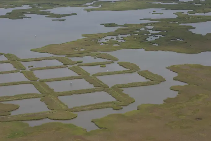
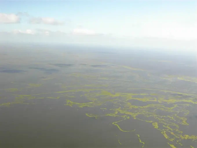
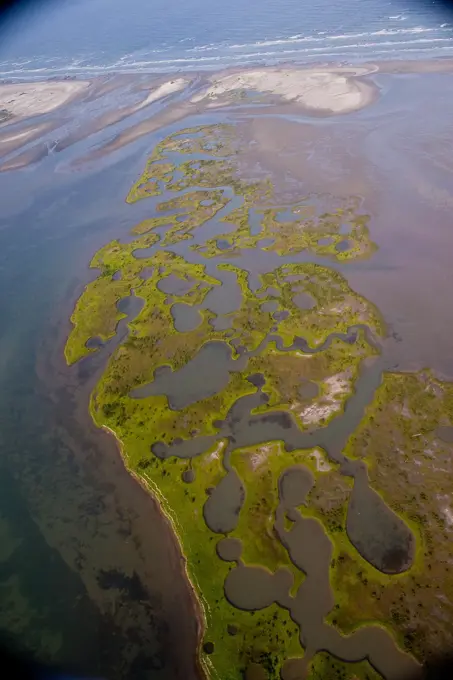
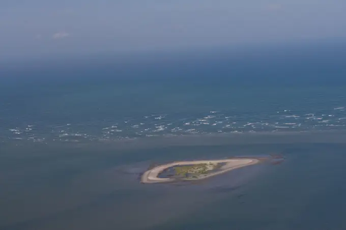
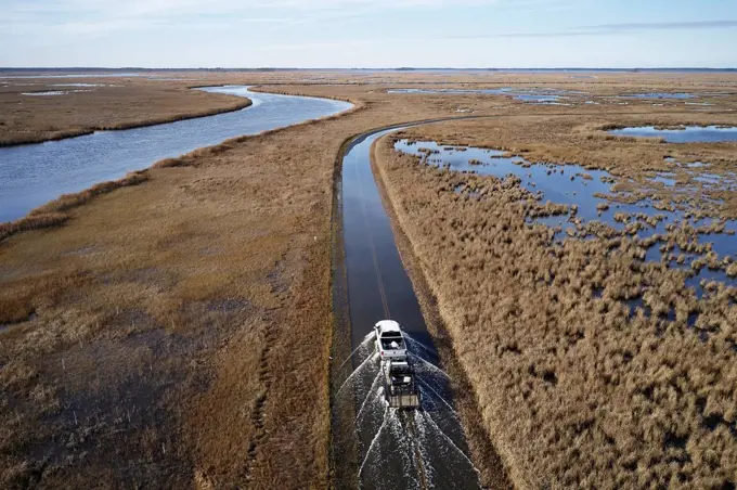
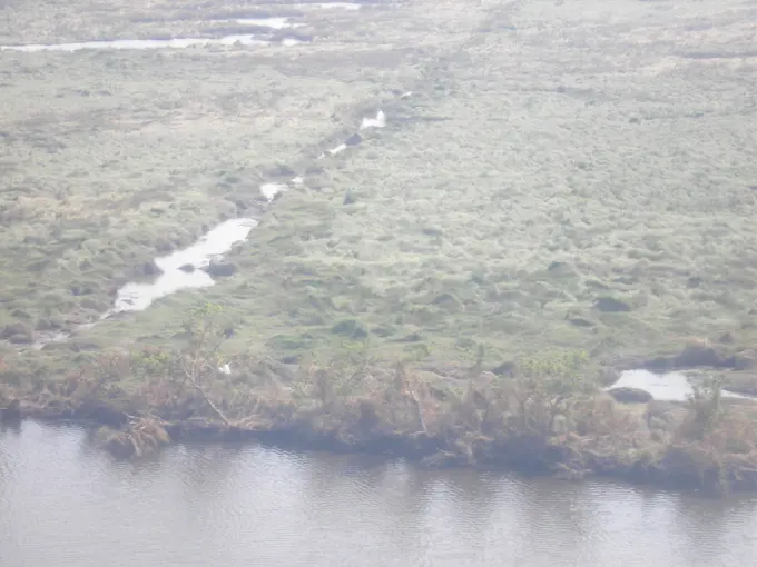
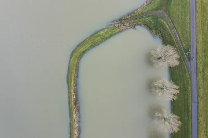
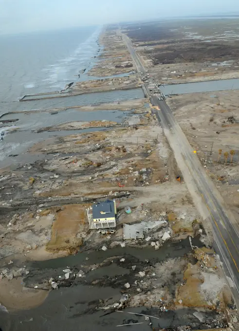
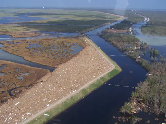
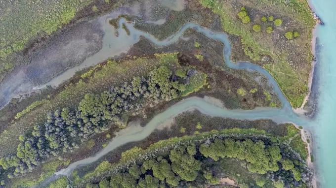
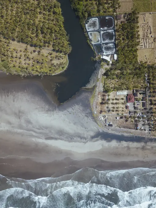
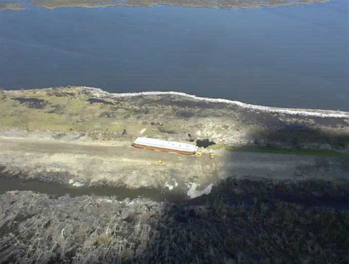
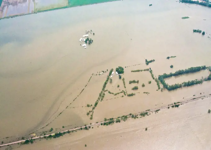
Impact of Oil Spill on Coastline

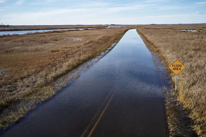
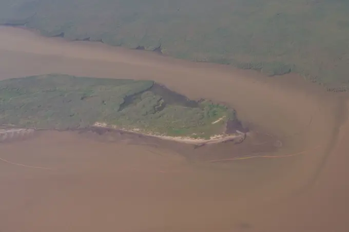
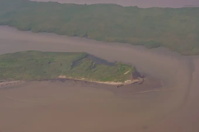
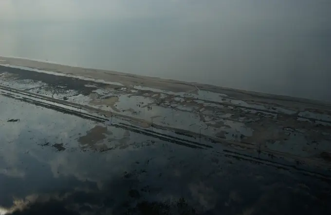
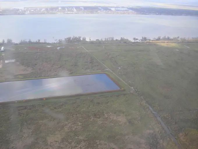
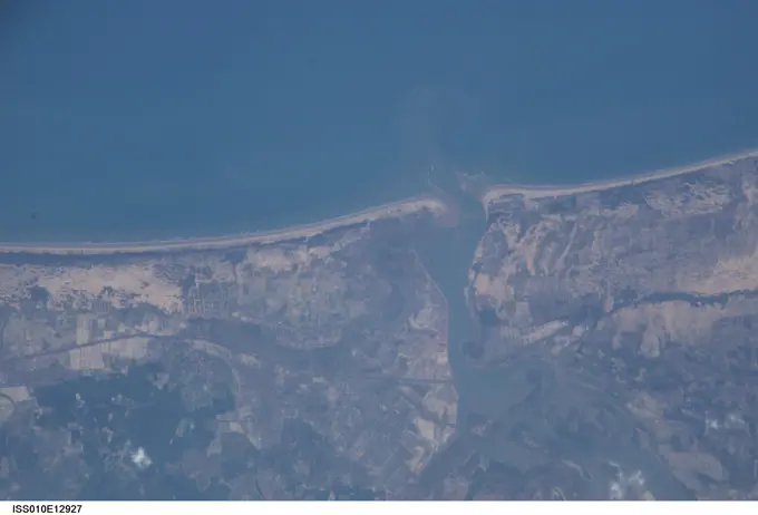
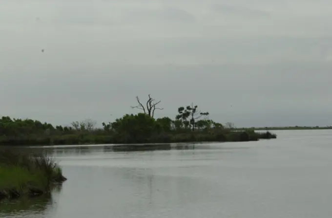
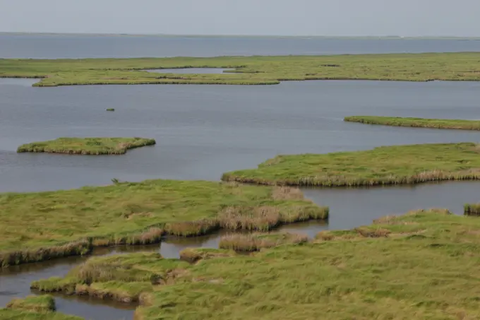
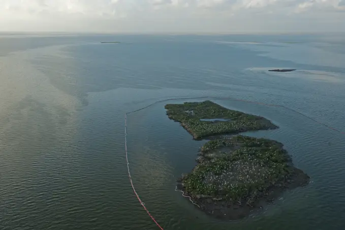
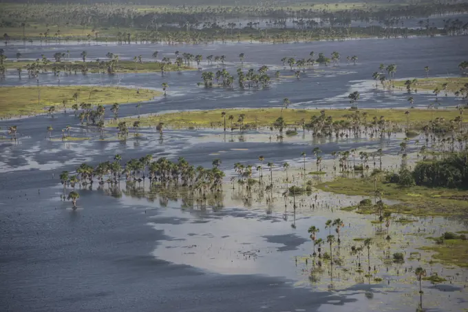
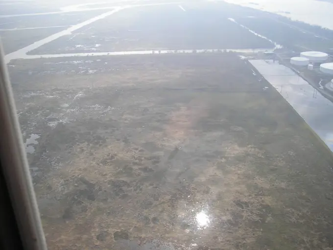
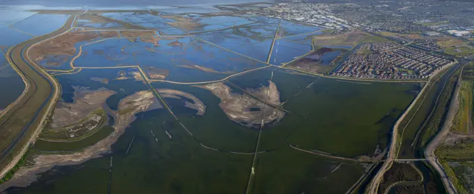
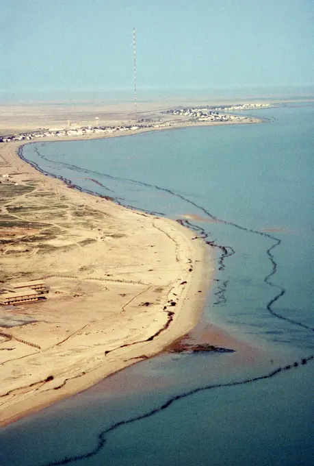
Aerial views of coastal areas affected by pollution, highlighting environmental damage and recovery efforts post oil spills, featuring muddy waters and shoreline.

Office of the Administrator (Lisa P. Jackson) - ASPECT Flight over Gulfport, Mississippi (BP Oil Spill) - Boom, Chandeleur Islands. USEPA photo by Eric Vance , Environmental Protection Agency
Visit of Secretary Dirk Kempthorne and aides to the Louisiana coast for Shell Oil briefing on offshore energy production, tour of offshore platform, fly-over of New Orleans and surrounding areas. Joining the Interior delegation for the offshore tour were Louisiana Senator Mary Landrieu and Congressman Bobby Jindal.Visit of Secretary Dirk Kempthorne and aides to the Louisiana coast for Shell Oil briefing on offshore energy production, tour of offshore platform, fly-over of New Orleans and surrounding areas. Joining the Interior delegation for the offshore tour were Louisiana Senator Mary Landrieu and Congressman Bobby Jindal.Pollution - ESU St. Louis Response - Shell Narin - 26-HK-248-17. AERIAL OF MAIN MARSH RECOVERY OPERATIONS. Hurricane KatrinaOffice of the Administrator (Lisa P. Jackson) - ASPECT Flight over Gulfport, Mississippi (BP Oil Spill) - USEPA photo by Eric Vance , Environmental Protection AgencyOffice of the Administrator (Lisa P. Jackson) - ASPECT Flight over Gulfport, Mississippi (BP Oil Spill) - USEPA photo by Eric Vance , Environmental Protection AgencyPollution - ESU St. Louis Response - Shell Narin - 26-HK-247-97. Salt Marsh. Hurricane KatrinaOffice of the Administrator (Lisa P. Jackson) - BP Oil Spill (Web Photographs) - USEPA photo by Eric Vance , Environmental Protection AgencyTerraces help reduce the impact of wind and waves in areas where marshland is threatened due to errosion. Subjects: Wildlife refuges; Habitat conservation. Location: Louisiana. Fish and Wildlife Service Site: SABINE NATIONAL WILDLIFE REFUGE.  . 1998 - 2011.Rebuilding of the Lippe Mouth near Wesel into the Rhine, Lippeverband, renaturation, Wesel, Lower Rhine, North Rhine-Westphalia, Germany, EuropeSalvage Engineering Response Team - New Orleans - Early October - 26-HK-350-136. Hurricane KatrinaPollution - ESU St. Louis Response - Unwatering - 26-HK-252-77. Hurricane KatrinaOffice of the Administrator (Lisa P. Jackson) - ASPECT Flight over Gulfport, Mississippi (BP Oil Spill) - USEPA photo by Eric Vance , Environmental Protection AgencyPollution - ESU St. Louis Response - Shell Narin - 26-HK-247-5. Hurricane KatrinaOffice of the Administrator (Lisa P. Jackson) - Various Images (BP Oil Spill) - USEPA photo by Eric Vance , Environmental Protection AgencyPollution - ESU St. Louis Response - Shell Narin - 26-HK-248-31. AERIAL OF PUMP HOUSE NORTH OF SHELL NAIRN (NOTE BOOM AROUND INTAKE AREA. Hurricane KatrinaPollution - ESU St. Louis Response - Sundown - 26-HK-249-62. Sundown West. Hurricane KatrinaOffice of the Administrator (Lisa P. Jackson) - ASPECT Flight over Gulfport, Mississippi (BP Oil Spill) - USEPA photo by Eric Vance , Environmental Protection AgencyVisit of Secretary Dirk Kempthorne and aides to the Louisiana coast for Shell Oil briefing on offshore energy production, tour of offshore platform, fly-over of New Orleans and surrounding areas. Joining the Interior delegation for the offshore tour were Louisiana Senator Mary Landrieu and Congressman Bobby Jindal.Mare Island, California. Creator: Vincenio, L. Descriptive Note: San Pablo Bay National Wildlife Refuge The San Pablo Bay National Wildlife Refuge lies along the north shore of San Pablo Bay in Sonoma, Solano, and Napa Counties in northern California. The refuge includes open bay/tidal marsh, mud flats, and seasonal. Subjects: Scenics; Aerial photography. Location: California. Fish and Wildlife Service Site: SAN PABLO BAY NATIONAL WILDLIFE REFUGE.  . 1998 - 2011.Pollution - ESU St. Louis Response - South Bass - 26-HK-234-85. Hurricane KatrinaVisit of Secretary Dirk Kempthorne and aides to the Louisiana coast for Shell Oil briefing on offshore energy production, tour of offshore platform, fly-over of New Orleans and surrounding areas. Joining the Interior delegation for the offshore tour were Louisiana Senator Mary Landrieu and Congressman Bobby Jindal.Office of the Administrator (Lisa P. Jackson) - Various Images (BP Oil Spill) - USEPA photo by Eric Vance , Environmental Protection AgencyOffice of the Administrator (Lisa P. Jackson) - ASPECT Flight over Gulfport, Mississippi (BP Oil Spill) - Islands in the Chandeleur Island chain surrounded bt boom and sorbent boom.USEPA photo by Eric Vance , Environmental Protection AgencyOffice of the Administrator (Lisa P. Jackson) - BP Oil Spill (Web Photographs) - USEPA photo by Eric Vance , Environmental Protection AgencyAftermath - Flooding - Miscellaneous - 26-HK-36-12. aerial shot of barges displaced far up embankment. Hurricane KatrinaOffice of the Administrator (Lisa P. Jackson) - ASPECT Flight over Gulfport, Mississippi (BP Oil Spill) - USEPA photo by Eric Vance , Environmental Protection AgencyOffice of the Administrator (Lisa P. Jackson) - ASPECT Flight over Gulfport, Mississippi (BP Oil Spill) - USEPA photo by Eric Vance , Environmental Protection AgencyOffice of the Administrator (Lisa P. Jackson) - ASPECT Flight over Gulfport, Mississippi (BP Oil Spill) - Mouth of Mississippi River, islands, boom. USEPA photo by Eric Vance , Environmental Protection AgencyOffice of the Administrator (Lisa P. Jackson) - ASPECT Flight over Gulfport, Mississippi (BP Oil Spill) - USEPA photo by Eric Vance , Environmental Protection AgencyOffice of the Administrator (Lisa P. Jackson) - Various Images (BP Oil Spill) - USEPA photo by Eric Vance , Environmental Protection AgencyVisit of Secretary Dirk Kempthorne and aides to the Louisiana coast for Shell Oil briefing on offshore energy production, tour of offshore platform, fly-over of New Orleans and surrounding areas. Joining the Interior delegation for the offshore tour were Louisiana Senator Mary Landrieu and Congressman Bobby Jindal.Office of the Administrator (Lisa P. Jackson) - ASPECT Flight over Gulfport, Mississippi (BP Oil Spill) - USEPA photo by Eric Vance , Environmental Protection AgencyAgriculture - Late afternoon aerial view of flooded farmland and the Red River in flood stage. A farmstead surrounded by a dike was not spared from the floodwaters / north of Fargo, North Dakota, USA.Salvage Engineering Response Team - Empire and Venice - 26-HK-354-42. Venice. Hurricane KatrinaOffice of the Administrator (Lisa P. Jackson) - BP Oil Spill (Web Photographs) - Mark Thomas, ASPECT Tem Leader points out sampling target areas during mission briefing. USEPA photo by Eric Vance , Environmental Protection AgencyPhotos from Aviation Training Center, Mobile - 26-HK-421-200. Hurricane KatrinaDolphin Rescue - 26-HK-130-42. Hurricane KatrinaOffice of the Administrator (Lisa P. Jackson) - ASPECT Flight over Gulfport, Mississippi (BP Oil Spill) - USEPA photo by Eric Vance , Environmental Protection AgencyPollution - ESU St. Louis Response - Chevron Empire - 26-HK-235-7. Hurricane KatrinaMaterial from Vice Admiral Allen - New Orleans Overflight - 26-HK-368-36. Hurricane KatrinaDolphin Rescue - 26-HK-131-1. Hurricane KatrinaUSA, Maryland, Cambridge, High tide flooding from rising sea levels at Blackwater National Wildlife RefugeVisit of Secretary Dirk Kempthorne to the Folsom Dam Overlook and surrounding area, Folsom, California, for tours, meetings with Bureau of Reclamation, U.S. Army Corps of Engineers and other personnel on the occasion of the groundbreaking ceremony for the Folsom Dam Joint Federal ProjectPollution - ESU St. Louis Response - North Bass - 26-HK-229-175. AERIAL VIEW OF MARSH AND CANAL AREA BEHIND HWY 39 LEVEE HEADING SOUTH TO NORTH BASS FACILITY. Hurricane KatrinaNetherlands, Aerial view of river Waal flooding surrounding land after prolonged rainfallPollution - ESU St. Louis Response - Murphy Oil - 26-HK-244-63. Hurricane KatrinaHurricane Ike,  Gilchrist, TX, September 22, 2008   An aerial view of a house on 922 Church Street that survived the destruction of Hurricane Ike.. Photographs Relating to Disasters and Emergency Management Programs, Activities, and OfficialsPollution - Emergency Support Function No. 10 Sites - Dynegy - 26-HK-223-37. Hurricane KatrinaAn aerial photo of flooding in the Sindh region of Pakistan taken during a USAID-led humanitarian mission to deliver equipment to the region, Sep. 10, 2022. USAID leads the U.S. Government's international development and disaster assistance, helping people emerge from humanitarian crises, such as the catastrophic flooding currently plaguing Pakistan.Pollution - ESU St. Louis Response - Miscellaneous - 26-HK-254-244. Overflight. Hurricane KatrinaCarefree Person Standing With Towel Blowing in WindOffice of the Administrator (Lisa P. Jackson) - ASPECT Flight over Gulfport, Mississippi (BP Oil Spill) - USEPA photo by Eric Vance , Environmental Protection AgencyPollution - ESU St. Louis Response - Dynegy - 26-HK-240-80. Hurricane KatrinaISS010-E-12927 (13 January 2005) ---  One of a series of post-tsunami digital still images which were photographed from the International Space Station on January 13, 2005.  This image is centered at 14.24 degrees north latitude and  80.12 east longitude and is in the Madras, India area, which sustained tsunami damage.Luftaufnahme der Lagune von Caorle, in Brussa, Provinz Venedig Luftaufnahme der Lagune von Caorle, in Brussa, Provinz Venedig LicenseRF Copyright: xZoonar.com/PeterxMocsonokyx 23214223Shore protection in the Kattegat near Skagen, Denmark, EuropeAerial view of shrimp farm near ocean coastlineWildlife viewed during visit of Secretary Gale Norton to Louisiana to tour Bayou Sauvage National Wildlife Refuge and Big Branch Marsh National Wildlife Refuge near New Orleans, and to discuss wetlands preservation and shoreline erosion control efforts with Fish and Wildlife Service staff and other officialsOffice of the Administrator (Lisa P. Jackson) - ASPECT Flight over Gulfport, Mississippi (BP Oil Spill) - USEPA photo by Eric Vance , Environmental Protection AgencyOffice of the Administrator (Lisa P. Jackson) - BP Oil Spill (Web Photographs) - USEPA photo by Eric Vance , Environmental Protection AgencyAerial of flooding of farms in southern Bangladesh.Indonesia, Tsunami, Aceh Province, Island With Brackish Water After And Destroyed Vegetation After December 2004.ESU St. Louis - Oil Fields and Surrounding Area- Aerial - 26-HK-318-16. Hurricane KatrinaGlobal WarmingAerial views of California taken during visit of Acting Secretary P. Lynn ScarlettSalvage Engineering Response Team - New Orleans - Early October - 26-HK-350-184. Site 2b. Hurricane KatrinaWildlife viewed during visit of Secretary Gale Norton to Louisiana to tour Bayou Sauvage National Wildlife Refuge and Big Branch Marsh National Wildlife Refuge near New Orleans, and to discuss wetlands preservation and shoreline erosion control efforts with Fish and Wildlife Service staff and other officialsDolphin Rescue - 26-HK-130-37. Hurricane KatrinaBangladesh, Bhola, Water Gushing In And Out Of Breach In Main Coastal EmbankmentOffice of the Administrator (Lisa P. Jackson) - ASPECT Flight over Gulfport, Mississippi (BP Oil Spill) - USEPA photo by Eric Vance , Environmental Protection AgencyPollution - ESU St. Louis Response - Shell Narin - 26-HK-247-79. Hurricane KatrinaCritical Incident Stress Management - Flights - 26-HK-142-25. Hurricane KatrinaAerial view of marsh. Subjects: Wildlife refuges; Coastal environments. Location: Louisiana. Fish and Wildlife Service Site: CAMERON PRAIRIE NATIONAL WILDLIFE REFUGE.  . 1998 - 2011.Pollution - ESU St. Louis Response - Shell Narin - 26-HK-247-1. Hurricane KatrinaOffice of the Administrator (Lisa P. Jackson) - BP Oil Spill (Web Photographs) - USEPA photo by Eric Vance , Environmental Protection AgencySalvage Engineering Response Team - New Orleans - Early October - 26-HK-351-27. Hurricane KatrinaHurricane Katrina, New Orleans, LA., 9/19/2005 -- Aerial view of damaged Interstate 10 following Hurricane Katrina. Interstate 10 connects Louisiana and Mississippi. Andrea Booher/FEMAAerial views of California taken during visit of Acting Secretary P. Lynn ScarlettPollution - ESU St. Louis Response - Chevron Empire - 26-HK-235-45. Hurricane KatrinaPollution - ESU St. Louis Response - Miscellaneous - 26-HK-254-308. Overflight. Hurricane KatrinaPollution - ESU St. Louis Response - Wagonwheel - 26-HK-253-1. Hurricane KatrinaOffice of the Administrator (Lisa P. Jackson) - BP Oil Spill (Web Photographs) - USEPA photo by Eric Vance , Environmental Protection AgencyOverflight - Southwest Pass East - 26-HK-206-8. Hurricane KatrinaAerial and Satellite Images - 26-HK-19-38. Hurricane KatrinaESU St. Louis - Assessment - 26-HK-316-4. Hurricane KatrinaAerial view of the southern extension of the Alaska National Wildlife Refuge (ANWR). Subjects: Aerial photography; Scenics; Wildlife refuges. Location: Alaska. Fish and Wildlife Service Site: ALASKA NATIONAL WILDLIFE REFUGE.  . 1998 - 2011.Visit of Secretary Dirk Kempthorne and aides to the Louisiana coast for Shell Oil briefing on offshore energy production, tour of offshore platform, fly-over of New Orleans and surrounding areas. Joining the Interior delegation for the offshore tour were Louisiana Senator Mary Landrieu and Congressman Bobby Jindal.Cat Island is surrounded by oil absorbent inflatable booms; Cat Island, Louisiana, United States of AmericaWetland MMA, Abari Swamps, Mahaica Miconi Abari, GuyanaFlooding of the Missouri river in Nebraska and Iowa. Agriculture Secretary Tom Vilsack visited the area and spoke to agriculture producers and community leaders. Aerial view of shrimp farm near ocean coastlineAerial view of boats clustered in the murky river contrasting with the vibrant green vegetation along the banks, Dhaka, Dhaka Division, Bangladesh.Pollution - ESU St. Louis Response - Chevron Empire - 26-HK-237-75. Hurricane KatrinaUSA, Maryland, Cambridge, High tide flooding from rising sea levels at Blackwater National Wildlife RefugePollution - ESU St. Louis Response - Miscellaneous - 26-HK-254-102. Overflight. Hurricane KatrinaFungus  bacteria in polluted water  India Copyright: xAngeloxD Silva/DinodiaxPhotoxSouth Bay Salt Ponds, Newark, California, USAPotholes; Pothole. Subjects: Wetlands; Wetlands; Aerial photography; Aquatic environments.  . 1998 - 2011.Pollution - ESU St. Louis Response - Chevron Empire - 26-HK-237-112. Hurricane KatrinaOil pollutes the water off the shoreline of Fallaka, an island new Kuwait. The oil leaked from wells set afire by Iraqi forces prior to their withdrawal from the region during Operation Desert Storm.. Subject Operation/Series: DESERT STORM Base: Failaka Island Country: Kuwait(KWT)