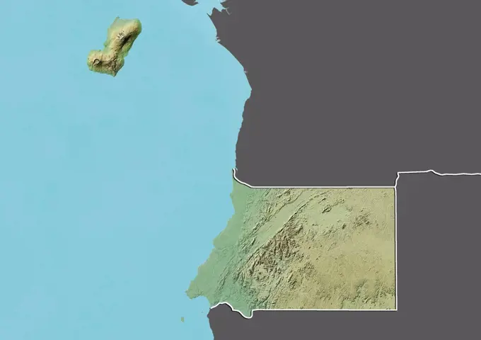
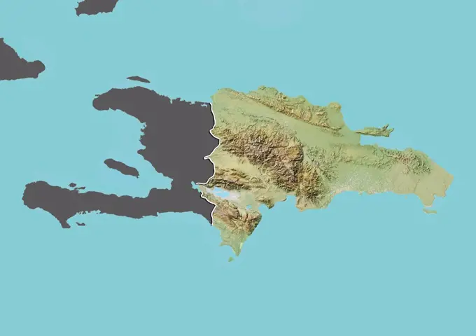
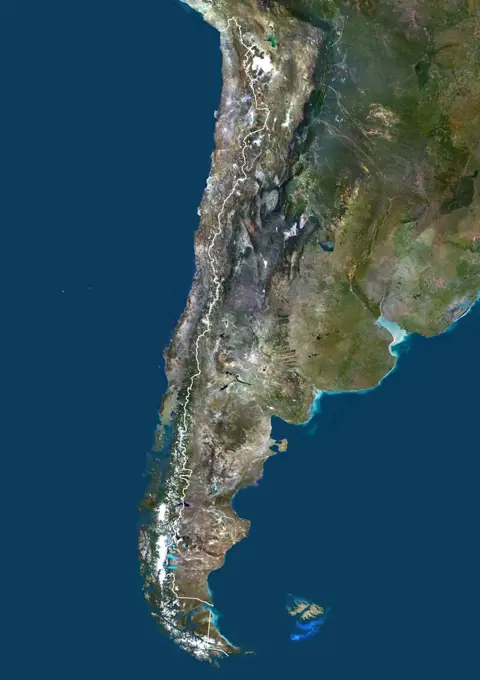
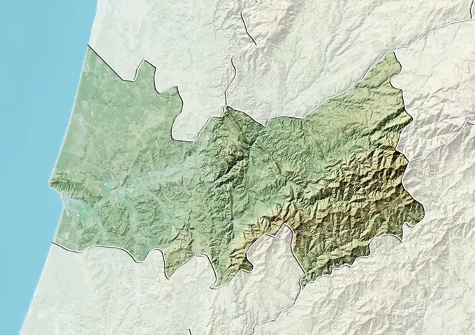
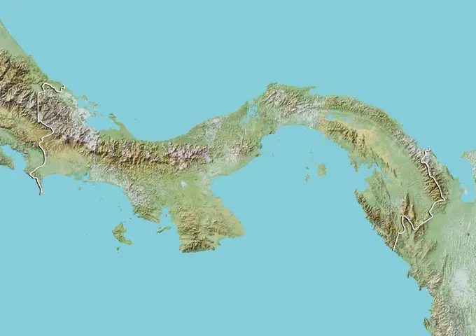
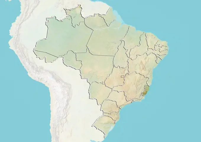
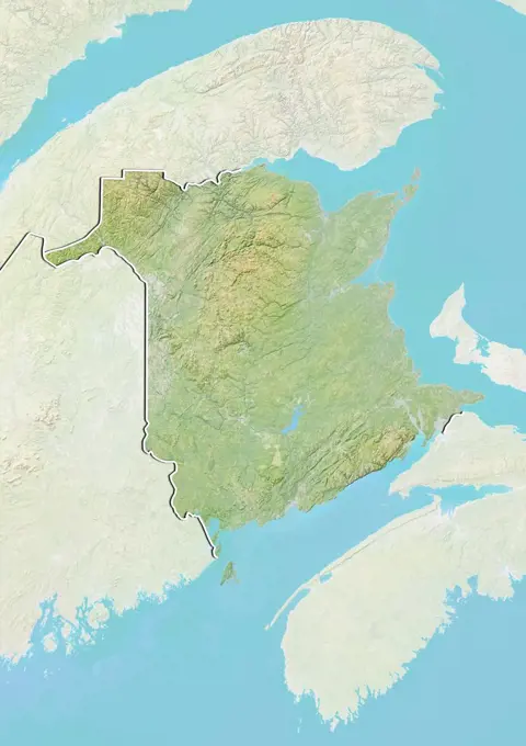
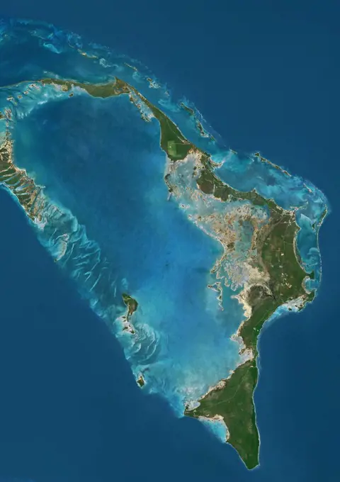
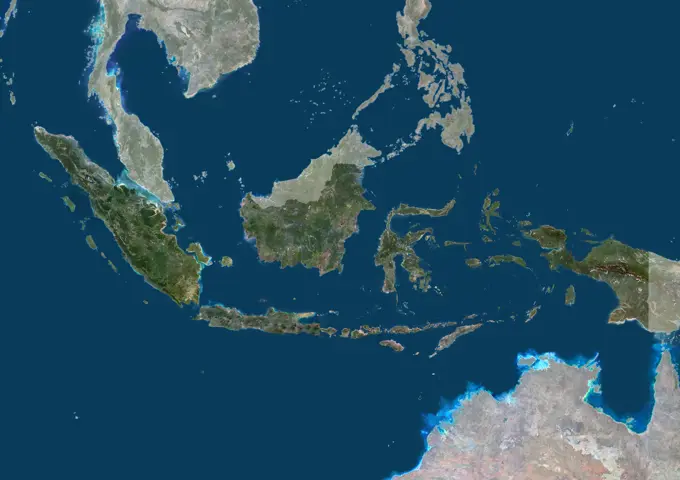
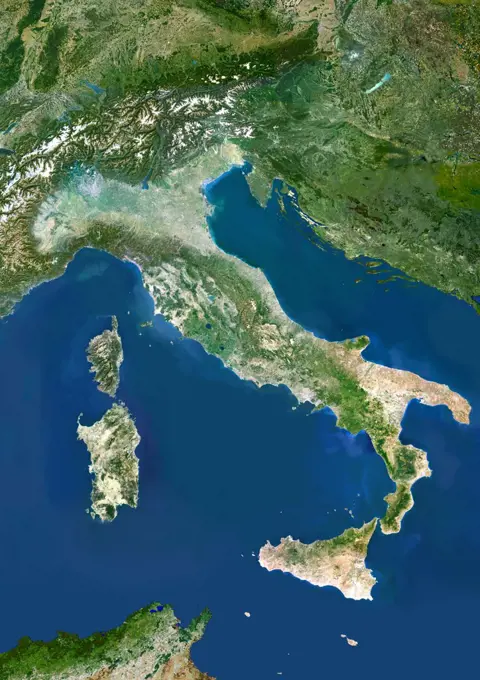
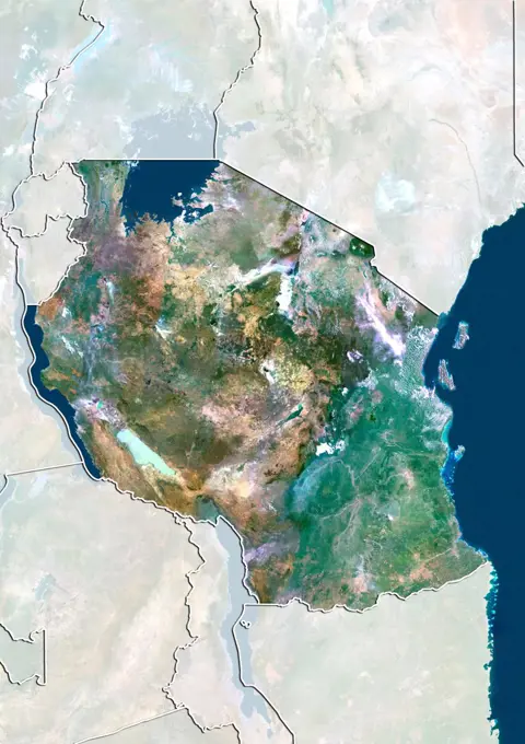
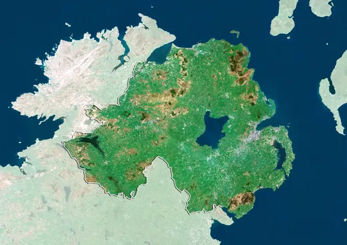
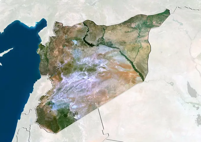
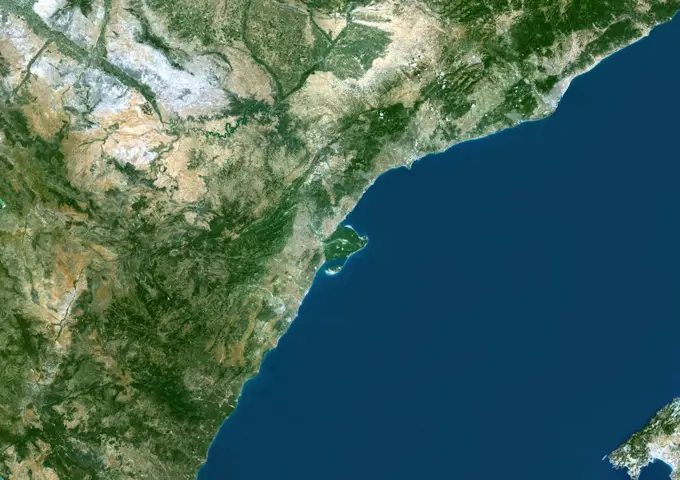
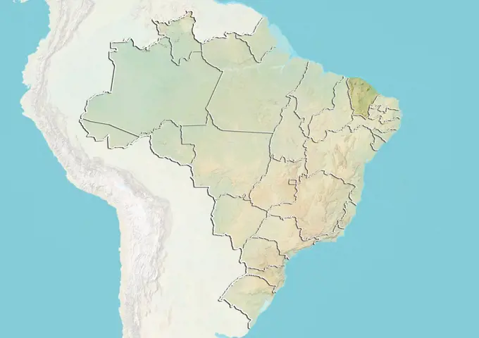
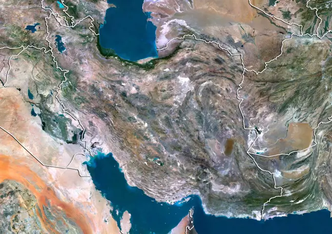
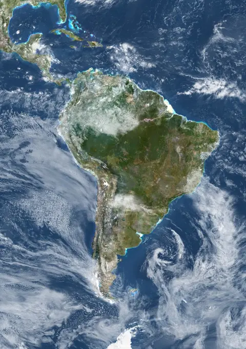
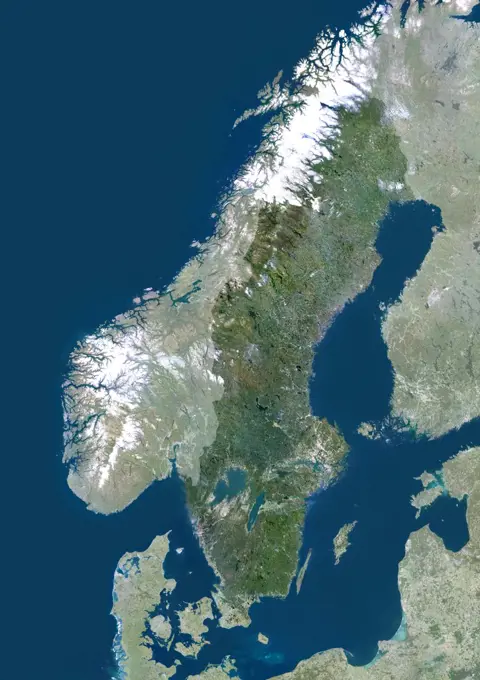
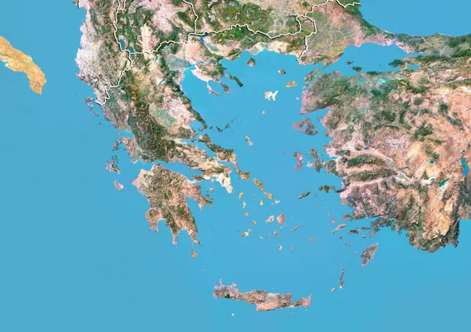
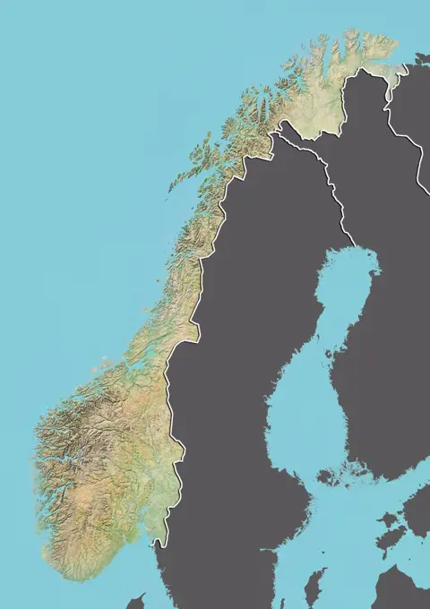
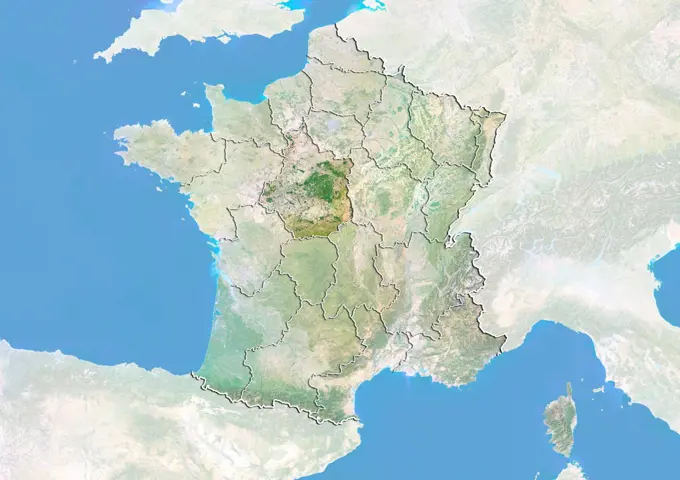
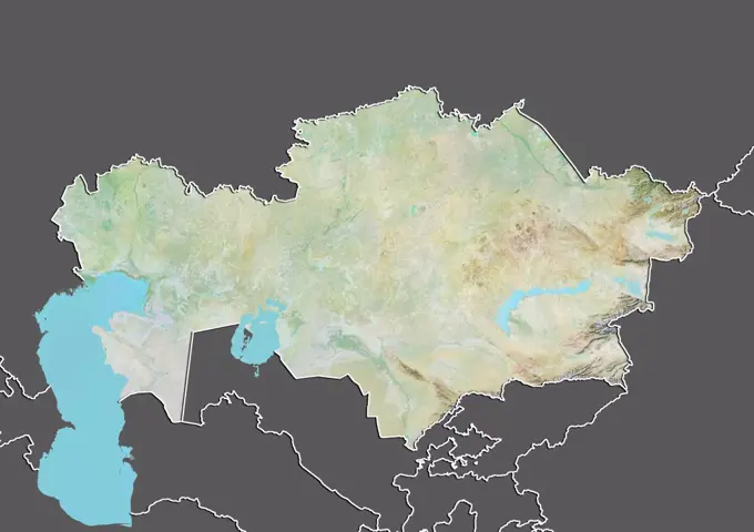
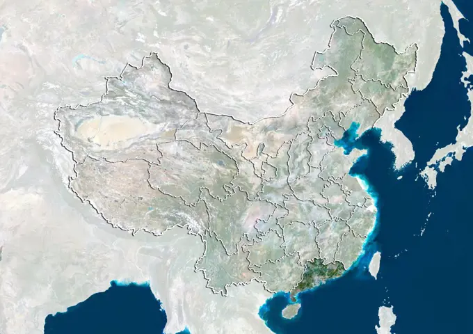
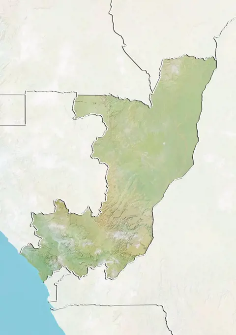
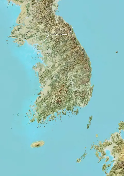
Relief and Satellite Maps of South America

A collection of relief and satellite maps depicting Guyana, Colombia, and Ecuador, showcasing topography, borders, and vibrant colors.

Color satellite image of Germany, with borders and mask.
Relief map of Equatorial Guinea (with border and mask). This image was compiled from data acquired by landsat 5 & 7 satellites combined with elevation data.Portugal, True Colour Satellite Image With Border. Portugal. True colour satellite image of Portuga with border. North is at top. Part of Spain is also seen. Lisbon (Lisboa), the capital of Portugal, lies on the north side of the northernmost inlet at lower left. The Atlantic Ocean is seen to the west. The image used data from LANDSAT 5 & 7 satellites.Satellite view of South America (with country boundaries). This image was compiled from data acquired by Landsat 7 & 8 satellites.Satellite view of Siberia, Russia (with country boundaries). This image was compiled from data acquired by Landsat satellites.Relief map of the Dominican Republic (with border and mask). This image was compiled from data acquired by landsat 5 & 7 satellites combined with elevation data.Satellite view of Indonesia (with border). This image was compiled from data acquired by LANDSAT 5 & 7 satellites.Chile, South America, True Colour Satellite Image With Border. Satellite view of Chile (with border). This image was compiled from data acquired by LANDSAT 5 & 7 satellites.Satellite view of Ghana (with border and mask). This image was compiled from data acquired by LANDSAT 5 & 7 satellites.Relief map of the district of Coimbra, Portugal. This image was compiled from data acquired by LANDSAT 5 & 7 satellites combined with elevation data.Relief map of Belize (with border). This image was compiled from data acquired by LANDSAT 5 & 7 satellites combined with elevation data.Relief map of Panama (with border). This image was compiled from data acquired by LANDSAT 5 & 7 satellites combined with elevation data.Relief map of Brazil showing the State of Espirito Santo. This image was compiled from data acquired by LANDSAT 5 & 7 satellites combined with elevation data.Relief map of Slovenia (with border and mask). This image was compiled from data acquired by landsat 5 & 7 satellites combined with elevation data.Relief map of New Brunswick, Canada. This image was compiled from data acquired by LANDSAT 5 & 7 satellites combined with elevation data.Satellite view of the Abaco Islands that lie in the northern Bahamas. They comprise the main islands of Great Abaco and Little Abaco, along with smaller barrier cays. This image was compiled from data acquired by Landsat satellites.Color satellite image of Guinea-Bissau, with borders and mask.Color satellite image of Haiti and neighbouring countries.Relief map of France showing the region of Poitou-Charentes. This image was compiled from data acquired by LANDSAT 5 & 7 satellites combined with elevation data.Satellite view of the State of Maranhao, Brazil. This image was compiled from data acquired by LANDSAT 5 & 7 satellites.Finland, Europe, True Colour Satellite Image With Border. Satellite view of Finland (with border). This image was compiled from data acquired by LANDSAT 5 & 7 satellites.Relief map of the region of Liguria, Italy. This image was compiled from data acquired by LANDSAT 5 & 7 satellites combined with elevation data.Relief map of Belgium showing the Region of Brussels. This image was compiled from data acquired by LANDSAT 5 & 7 satellites combined with elevation data.Satellite view of Argentina (with border). This image was compiled from data acquired by LANDSAT 5 & 7 satellites.Finland, Europe, True Colour Satellite Image With Border And Mask. Satellite view of Finland (with border and mask). This image was compiled from data acquired by LANDSAT 5 & 7 satellites.Color satellite image of Ivory Coast, with mask.Peru, South America, True Colour Satellite Image With Border. Satellite view of Peru (with border). This image was compiled from data acquired by LANDSAT 5 & 7 satellites.Relief map of Lithuania (with border and mask). This image was compiled from data acquired by landsat 5 & 7 satellites combined with elevation data.Color satellite image of Indonesia, with mask.Italy, True Colour Satellite Image. Italy, true colour satellite image. Italy comprises the large peninsula at centre, and the large islands of Sicily (lower centre) and Sardinia (centre left). It also encompasses numerous smaller islands. To the northeast of Italy is the Adriatic Sea, southeast of it is the Ionian Sea, southwest of it is the Tyrrhenian Sea, and the Ligurian Sea lies above the French island of Corsica at upper left. The image used data from LANDSAT 5 & 7 satellites.Color satellite image of Haiti, with mask.Satellite view of Tanzania (with border and mask). This image was compiled from data acquired by LANDSAT 5 & 7 satellites.Satellite view of Northern Ireland, United Kingdom. This image was compiled from data acquired by LANDSAT 5 & 7 satellites.Color satellite image of Morocco and neighbouring countries, with borders.Relief map of Ethiopia (with border and mask). This image was compiled from data acquired by landsat 5 & 7 satellites combined with elevation data.Color satellite image of San Francisco to Los Angeles, California, United States. The Sierra Nevada runs north to south parallel to the coast. It is home to three national parks, i.e. Yosemite, Sequoia, and Kings Canyon National Parks. Image collected on May 1, 2017 by Sentinel-2 satellites.Egypt, True Colour Satellite Image With Mask. Egypt, true colour satellite image with mask. North is at top. In the center of the image is the Nile Delta, its lush vegetation following the path of the river. To the east of the Nile is the Gulf of Suez, which runs down the western side of the Sinai Peninsula. This image was compiled from data acquired by LANDSAT 5 & 7 satellites.Relief map of Bosnia and Herzegovina (with border and mask). This image was compiled from data acquired by landsat 5 & 7 satellites combined with elevation data.Satellite view of Valencia, Spain. This image was compiled from data acquired by LANDSAT 5 & 7 satellites.Satellite view of the region of Basilicata, Italy. This image was compiled from data acquired by LANDSAT 5 & 7 satellites.Color satellite image of El Salvador and neighbouring countries, with borders.Mozambique, Africa, True Colour Satellite Image With Border And Mask. Satellite view of Mozambique (with border and mask). This image was compiled from data acquired by LANDSAT 5 & 7 satellites.Relief map of Brazil showing the State of Mato Grosso do Sul. This image was compiled from data acquired by LANDSAT 5 & 7 satellites combined with elevation data.Satellite view of Africa (with country boundaries). This image was compiled from data acquired by Landsat 7 & 8 satellites.Satellite view of Brazil showing the State of Bahia. This image was compiled from data acquired by LANDSAT 5 & 7 satellites.Relief map of Benin (with border and mask). This image was compiled from data acquired by landsat 5 & 7 satellites combined with elevation data.Satellite view of Central Africa (with country boundaries) showing Equatorial Guinea, Gabon, Republic of the Congo, Democratic Republic of the Congo, Burundi, Rwanda and Uganda. This image was compiled from data acquired by Landsat satellites.Color satellite image of Sri Lanka.Satellite view of Guatemala (with border). This image was compiled from data acquired by LANDSAT 5 & 7 satellites.Color satellite image of Uruguay, with borders and mask.Satellite view of France (with border). Belgium and Luxemburg are at North. Switzerland is East. This image was compiled from data acquired by LANDSAT 5 & 7 satellites.Relief map of Brazil showing the State of Rio Grande do Sul. This image was compiled from data acquired by LANDSAT 5 & 7 satellites combined with elevation data.Relief map of Germany showing the State of Mecklenburg-Vorpommern. This image was compiled from data acquired by LANDSAT 5 & 7 satellites combined with elevation data.Relief map of Belgium showing the Flemish Region. This image was compiled from data acquired by LANDSAT 5 & 7 satellites combined with elevation data.Relief map of Catalonia, Spain. This image was compiled from data acquired by LANDSAT 5 & 7 satellites combined with elevation data.Relief map of Brazil showing the State of Minas Gerais. This image was compiled from data acquired by LANDSAT 5 & 7 satellites combined with elevation data.Relief map of the region of Veneto, Italy. This image was compiled from data acquired by LANDSAT 5 & 7 satellites combined with elevation data.3D satellite image of Spain and Portugal. Relief map of Kazakhstan (with border and mask). This image was compiled from data acquired by landsat 5 & 7 satellites combined with elevation data.Satellite view of Northeast China and North Korea (with country boundaries). This image was compiled from data acquired by Landsat satellites.Satellite view of Italy with bump effect, showing Sicily. This image was compiled from data acquired by LANDSAT 5 & 7 satellites combined with elevation data.Satellite view of Syria (with border and mask). This image was compiled from data acquired by LANDSAT 5 & 7 satellites.Ebro River Delta, Spain, True Colour Satellite Image. True colour satellite image of the Ebro River Delta in Spain. The Ebro is Spain's most voluminous river. It flows through the city of Zaragossa (top left) before discharging in a delta on the Mediterranean Sea in the province of Tarragona. Along the Mediterranean coast, north of the Delta are the cities of Barcelona and Tarragona, and south the city of Castellón de la Plana. Composite image using LANDSAT 5 data.Relief map of Brazil showing the State of Ceara. This image was compiled from data acquired by LANDSAT 5 & 7 satellites combined with elevation data.Color satellite image of Somalia and neighbouring countries.Satellite view of Iran (with border). This image was compiled from data acquired by LANDSAT 5 & 7 satellites.Satellite view of Argentina with bump effect, showing the province of Catamarca. This image was compiled from data acquired by LANDSAT 5 & 7 satellites combined with elevation data.Color satellite image of South Korea, with borders and mask.Relief map of the region of Tuscany, Italy. This image was compiled from data acquired by LANDSAT 5 & 7 satellites combined with elevation data.Relief map of Poland (with border and mask). This image was compiled from data acquired by landsat 5 & 7 satellites combined with elevation data.Relief map of Thailand (with border and mask). This image was compiled from data acquired by landsat 5 & 7 satellites combined with elevation data.Color satellite image of Turkey and neighbouring countries.Relief map of Brazil showing the State of Bahia. This image was compiled from data acquired by LANDSAT 5 & 7 satellites combined with elevation data.Satellite view of Argentina with bump effect, showing the province of Salta. This image was compiled from data acquired by LANDSAT 5 & 7 satellites combined with elevation data.Relief map of Denmark (with border and mask). This image was compiled from data acquired by landsat 5 & 7 satellites combined with elevation data.Italy, True Colour Satellite Image With Border. Italy, true colour satellite image with border. Italy comprises the large peninsula at centre, and the large islands of Sicily (lower centre) and Sardinia (centre left). It also encompasses numerous smaller islands. To the northeast of Italy is the Adriatic Sea, southeast of it is the Ionian Sea, southwest of it is the Tyrrhenian Sea, and the Ligurian Sea lies above the French island of Corsica at upper left. The image used data from LANDSAT 5 & 7 Relief map of Japan showing the region of Tohoku. This image was compiled from data acquired by LANDSAT 5 & 7 satellites combined with elevation data.Satellite view of the province of Hainan, China. This image was compiled from data acquired by LANDSAT 5 & 7 satellites.Color satellite image of Uruguay and neighbouring countries, with borders.South America With Cloud Coverage, True Colour Satellite Image. True colour satellite image of South America with cloud coverage. This image in Lambert Azimuthal Equal Area projection was compiled from data acquired by LANDSAT 5 & 7 satellites.Sea Of Marmara, Turkey, True Colour Satellite Image. True colour satellite image of the Sea of Marmara, the inland sea that connects the Black Sea (at top) to the Aegean Sea (down left). The Bosphorus Strait connects it to the Black Sea and the Dardanelles Strait to the Aegean Sea. Istanbul is located on the Bosphorus Strait. Composite image using LANDSAT 5 data.Relief map of Somalia (with border and mask). This image was compiled from data acquired by landsat 5 & 7 satellites combined with elevation data.Satellite view of China showing the region of Ningxia Hui. This image was compiled from data acquired by LANDSAT 5 & 7 satellites.Satellite view of Portugal showing the district of Setubal. This image was compiled from data acquired by LANDSAT 5 & 7 satellites.Relief map of Argentina with boundaries of provinces . This image was compiled from data acquired by LANDSAT 5 & 7 satellites combined with elevation data.Relief map of Japan showing the region of Chugoku. This image was compiled from data acquired by LANDSAT 5 & 7 satellites combined with elevation data.Indonesia, Asia, True Colour Satellite Image With Border And Mask. Satellite view of Indonesia (with border and mask). This image was compiled from data acquired by LANDSAT 5 & 7 satellites.Sweden, Europe, True Colour Satellite Image With Mask. Satellite view of Sweden (with mask). This image was compiled from data acquired by LANDSAT 5 & 7 satellites.Relief map of Trinidad and Tobago (with border). This image was compiled from data acquired by LANDSAT 5 & 7 satellites combined with elevation data.Satellite view of Greece with Bump Effect (with border). This image was compiled from data acquired by LANDSAT 5 & 7 satellites.Relief map of Norway (with border and mask). This image was compiled from data acquired by landsat 5 & 7 satellites combined with elevation data.Satellite view of France with bump effect, showing the region of Centre. This image was compiled from data acquired by LANDSAT 5 & 7 satellites combined with elevation data.Relief map of Kazakhstan (with border and mask). This image was compiled from data acquired by landsat 5 & 7 satellites combined with elevation data.Color satellite image of Egypt and neighbouring countries, with borders.Satellite view of China showing the province of Guangdong. This image was compiled from data acquired by LANDSAT 5 & 7 satellites.Relief map of Congo (with border and mask). This image was compiled from data acquired by landsat 5 & 7 satellites combined with elevation data.Satellite view of the State of Alagoas, Brazil. This image was compiled from data acquired by LANDSAT 5 & 7 satellites.Relief map of the State of Chhattisgarh, India. This image was compiled from data acquired by LANDSAT 5 & 7 satellites combined with elevation data.Relief map of South Korea (with border). This image was compiled from data acquired by LANDSAT 5 & 7 satellites combined with elevation data.Satellite view of ItalySouth America With Major Rivers, True Colour Satellite Image. True colour satellite image of South America with major rivers. This image in Lambert Azimuthal Equal Area projection was compiled from data acquired by LANDSAT 5 & 7 satellites.