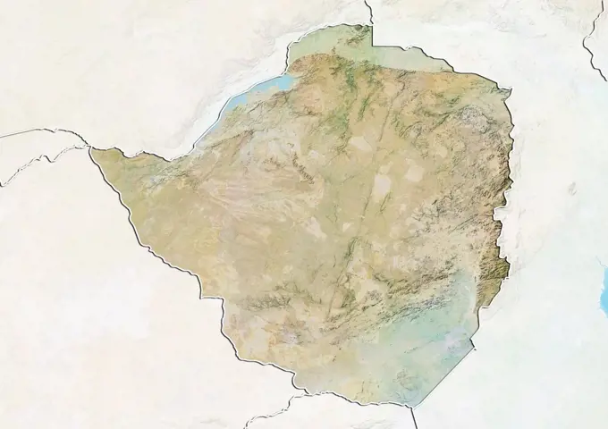
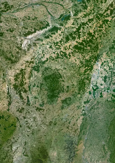
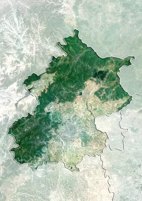
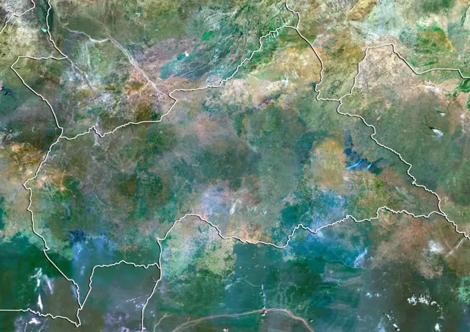
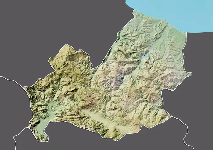
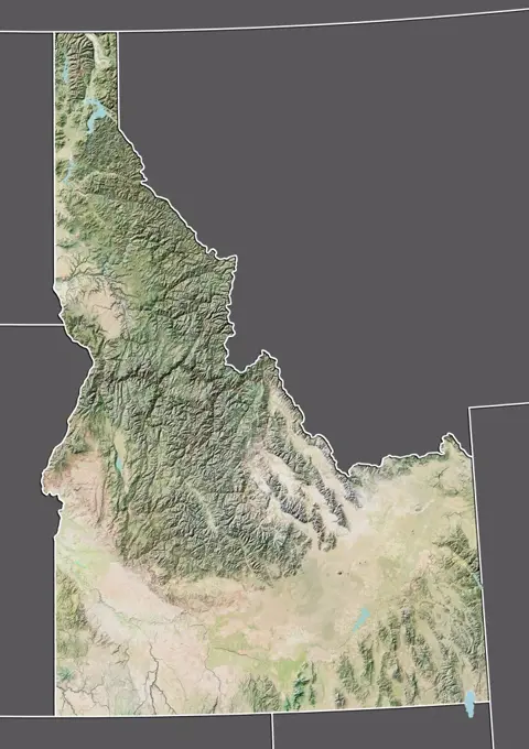
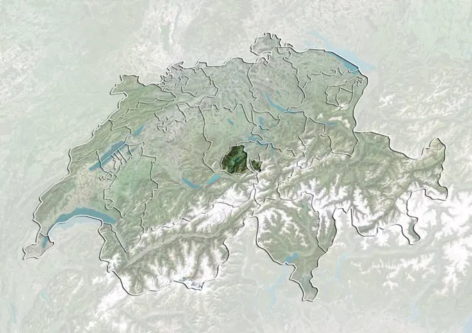
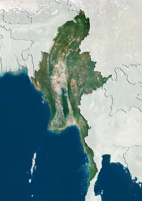
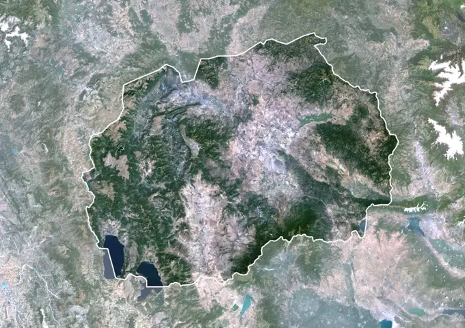
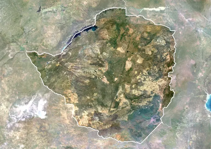
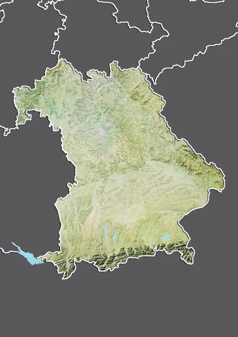
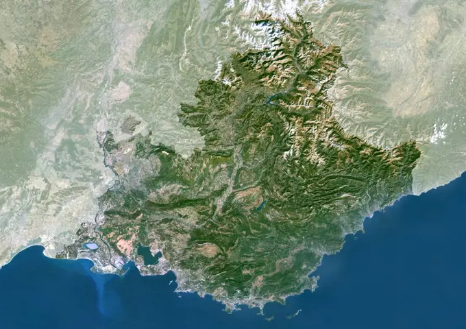
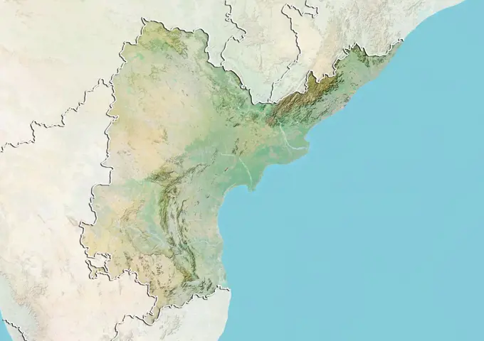
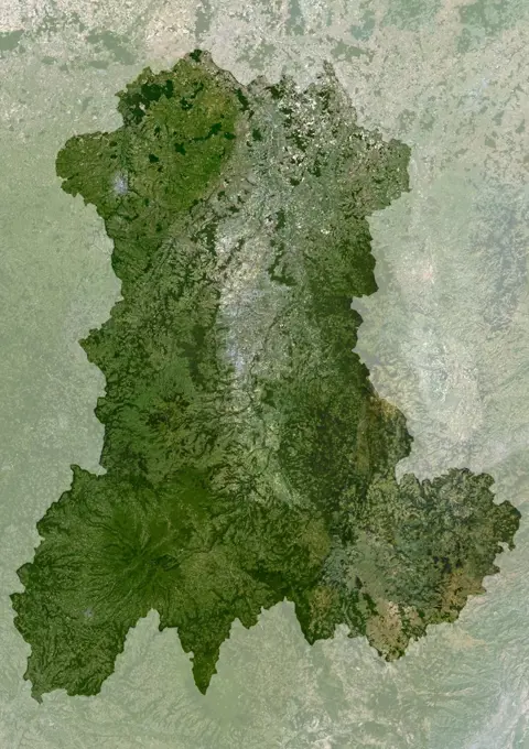
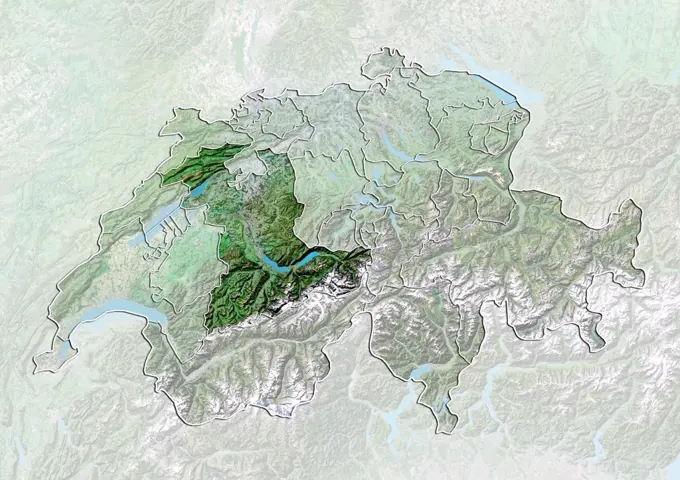
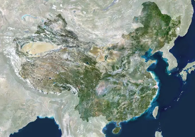
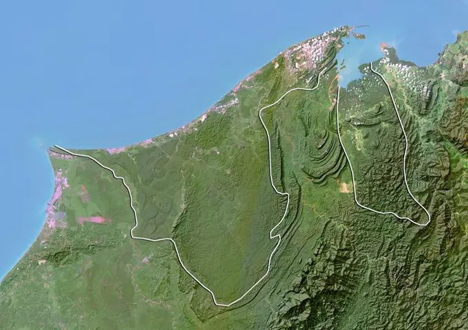
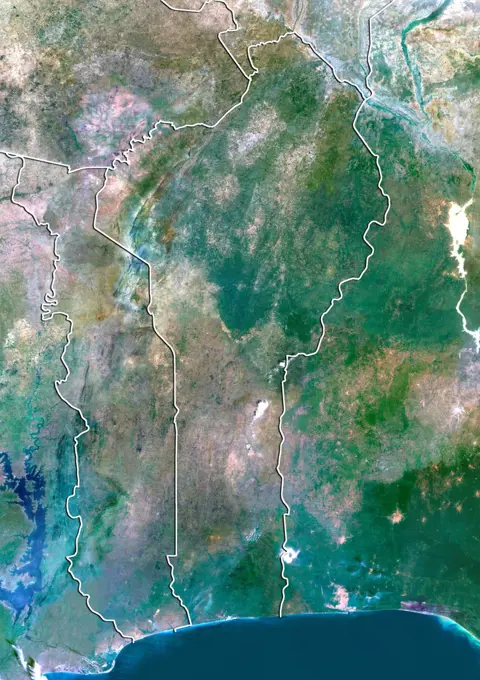
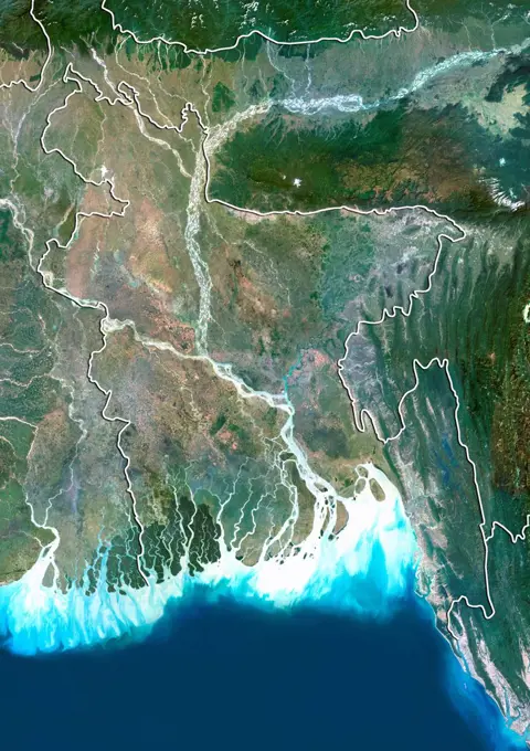
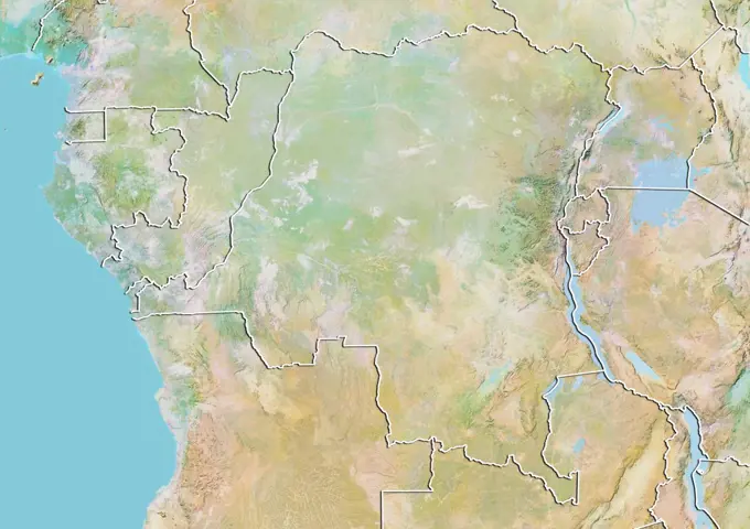
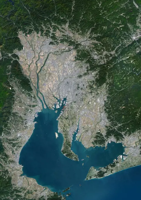
My Boards
View Pictures
  • My Boards
← Science

Relief Maps of Regions

Illustrations of various relief maps, showcasing geographical features and elevation data of regions like Aragon, Moldova, Czech Republic, Jilin, and Macedonia.

Color satellite image of North Macedonia, with borders and mask.
289 assets in this story
1899-79603
Satellite view of Austria with Bump Effect (with border). This image was compiled from data acquired by LANDSAT 5 & 7 satellites.
1899-80401
Relief map of Zimbabwe (with border and mask). This image was compiled from data acquired by landsat 5 & 7 satellites combined with elevation data.
1899-34660
Bourgogne Region, France, True Colour Satellite Image. Bourgogne region, France, true colour satellite image. This image was compiled from data acquired by LANDSAT 5 & 7 satellites.
1899-81155
Satellite view of Switzerland showing the canton of Uri. This image was compiled from data acquired by LANDSAT 5 & 7 satellites.
1899-81805
Satellite view of the region of Beijing, China. This image was compiled from data acquired by LANDSAT 7 satellite.
1899-79708
Satellite view of Central African Republic (with border). This image was compiled from data acquired by LANDSAT 5 & 7 satellites.
1899-80516
Satellite view of Austria showing the State of Vienna. This image was compiled from data acquired by LANDSAT 5 & 7 satellites.
1899-35122
Ukraine, Europe, True Colour Satellite Image With Border And Mask. Satellite view of Ukraine (with border and mask). This image was compiled from data acquired by LANDSAT 5 & 7 satellites.
1899-82068
Relief map of the region of Molise, Italy. This image was compiled from data acquired by LANDSAT 5 & 7 satellites combined with elevation data.
1899-66959
Relief map of the State of Idaho, United States. This image was compiled from data acquired by LANDSAT 5 & 7 satellites combined with elevation data.
1899-81134
Satellite view of Switzerland showing the canton of Obwalden. This image was compiled from data acquired by LANDSAT 5 & 7 satellites.
1899-53518029
Color satellite image of Luxembourg, with borders and mask.
1899-80094
Satellite view of Myanmar (with border and mask). This image was compiled from data acquired by LANDSAT 5 & 7 satellites.
1899-79739
Relief map of Croatia and Bosnia and Herzegovina (with border). This image was compiled from data acquired by LANDSAT 5 & 7 satellites combined with elevation data.
1899-53517713
Color satellite image of Belarus and neighbouring countries, with borders and mask.
6145-44582826
This image of Yellowstone National Park was acquired on July 2, 2001 by NASA's Terra satellite.
1899-21289876
Satellite view of Paraguay (with country boundaries). This image was compiled from data acquired by Landsat satellites.
1899-79645
Relief map of Bolivia (with border and mask). This image was compiled from data acquired by landsat 5 & 7 satellites combined with elevation data.
1899-80767
Satellite view of Germany showing the State of North Rhine-Westphalia. This image was compiled from data acquired by LANDSAT 5 & 7 satellites.
1899-81557
Relief map of Guinea (with border and mask). This image was compiled from data acquired by landsat 5 & 7 satellites combined with elevation data.
1899-79741
Satellite view of Croatia and Bosnia and Herzegovina with Bump Effect (with border). This image was compiled from data acquired by LANDSAT 5 & 7 satellites.
1899-79595
Satellite view of Armenia with Bump Effect (with border). This image was compiled from data acquired by LANDSAT 5 & 7 satellites.
1899-66720
Relief map of Belgium (with border and mask). This image was compiled from data acquired by landsat 5 & 7 satellites combined with elevation data.
1899-80011
Satellite view of Lesotho (with border). This image was compiled from data acquired by LANDSAT 5 & 7 satellites.
1899-35157
Benin, Africa, True Colour Satellite Image With Border. Satellite view of Benin (with border). This image was compiled from data acquired by LANDSAT 5 & 7 satellites.
1899-81727
Satellite view of the State of Goias, Brazil. This image was compiled from data acquired by LANDSAT 5 & 7 satellites.
1899-53517717
Color satellite image of Belgium, with borders and mask.
1899-80501
Satellite view of Austria showing the State of Lower Austria. This image was compiled from data acquired by LANDSAT 5 & 7 satellites.
1899-66843
Relief map of Switzerland (with border and mask). This image was compiled from data acquired by landsat 5 & 7 satellites combined with elevation data.
1899-80327
Satellite view of Togo (with border). This image was compiled from data acquired by LANDSAT 5 & 7 satellites.
1899-80205
Satellite view of Rwanda (with border). This image was compiled from data acquired by LANDSAT 5 & 7 satellites.
1899-53517992
Color satellite image of Kyrgyzstan and neighbouring countries, with borders.
1899-80354
Satellite view of Ukraine (with border). This image was compiled from data acquired by LANDSAT 5 & 7 satellites.
1899-79593
Relief map of Armenia (with border). This image was compiled from data acquired by LANDSAT 5 & 7 satellites combined with elevation data.
6145-45095675
Lake Mead supplies water for Arizona, California, Mexico, and other western states. This image from NASA's Terra spacecraft shows the water level fell to 1075 feet, a record low.
1899-35316
Liechtenstein, Europe, True Colour Satellite Image With Mask. Satellite view of Liechtenstein (with mask). This image was compiled from data acquired by LANDSAT 5 & 7 satellites.
1899-53517740
Color satellite image of Botswana and neighbouring countries, with borders.
1899-66837
Relief map of South Sudan (with border and mask). This image was compiled from data acquired by landsat 5 & 7 satellites combined with elevation data.
1899-35084
Macedonia, Europe, True Colour Satellite Image With Border And Mask. Satellite view of Macedonia (with border and mask). This image was compiled from data acquired by LANDSAT 5 & 7 satellites.
6145-44574381
This space radar image shows the area surrounding the Dead Sea along the West Bank between Israel and Jordan. This region is of major cultural and historical importance to millions of Muslims, Jews and Christians who consider it the Holy Land.
1899-35307
Belarus, Europe, True Colour Satellite Image With Mask. Satellite view of Belarus (with mask). This image was compiled from data acquired by LANDSAT 5 & 7 satellites.
1899-53517886
Color satellite image of Georgia and neighbouring countries, with borders.
1899-82069
Relief map of the region of Molise, Italy. This image was compiled from data acquired by LANDSAT 5 & 7 satellites combined with elevation data.
1899-35267
Zimbabwe, Africa, True Colour Satellite Image With Border And Mask. Satellite view of Zimbabwe (with border and mask). This image was compiled from data acquired by LANDSAT 5 & 7 satellites.
1899-66900
Relief map of the State of Bavaria, Germany. This image was compiled from data acquired by LANDSAT 5 & 7 satellites combined with elevation data.
1899-34689
Provence-Alpes-Côte D'Azur Region, France, True Colour Satellite Image With Mask. Provence - Alpes - Côte d'Azur region, France, true colour satellite image with mask. This image was compiled from data acquired by LANDSAT 5 & 7 satellites.
1899-81974
Relief map of the State of Andhra Pradesh, India. This image was compiled from data acquired by LANDSAT 5 & 7 satellites combined with elevation data.
1899-82142
Relief map of the district of Vila Real, Portugal. This image was compiled from data acquired by LANDSAT 5 & 7 satellites combined with elevation data.
1899-79644
Satellite view of Bhutan (with border). This image was compiled from data acquired by LANDSAT 5 & 7 satellites.
1899-81968
Relief map of the State of Schleswig-Holstein, Germany. This image was compiled from data acquired by LANDSAT 5 & 7 satellites combined with elevation data.
1899-53518036
Color satellite image of Malawi and neighbouring countries.
1899-81663
Relief map of Australian Capital Territory, Australia. This image was compiled from data acquired by LANDSAT 5 & 7 satellites combined with elevation data.
1899-66883
Relief map of Centre, France. This image was compiled from data acquired by LANDSAT 5 & 7 satellites combined with elevation data.
1899-82310
Satellite view of the State of Oklahoma, United States. This image was compiled from data acquired by LANDSAT 5 & 7 satellites.
1899-80299
Satellite view of Switzerland (with border and mask). This image was compiled from data acquired by LANDSAT 5 & 7 satellites.
1899-82037
Satellite view of the region of Aosta Valley, Italy. This image was compiled from data acquired by LANDSAT 5 & 7 satellites.
1899-81604
Relief map of Nigeria (with border and mask). This image was compiled from data acquired by landsat 5 & 7 satellites combined with elevation data.
1899-80653
Satellite view of China showing the province of Jiangsu. This image was compiled from data acquired by LANDSAT 5 & 7 satellites.
6145-44817610
This image from NASA's Terra spacecraft shows the Kuk Early Agricultural Site in the western highlands of New Guinea. It is an excellent example of transformation of agricultural practices over time.
1899-80343
Relief map of Turkmenistan (with border and mask). This image was compiled from data acquired by landsat 5 & 7 satellites combined with elevation data.
1899-81844
Relief map of the province of Qinghai, China. This image was compiled from data acquired by LANDSAT 5 & 7 satellites combined with elevation data.
1899-53518112
Color satellite image of North Korea, with mask.
1899-66794
Relief map of Luxembourg (with border and mask). This image was compiled from data acquired by landsat 5 & 7 satellites combined with elevation data.
1899-79680
Satellite view of Burkina Faso (with border). This image was compiled from data acquired by LANDSAT 5 & 7 satellites.
1899-34966
Nemrut Dagi Volcano, Turkey, True Colour Satellite Image. Nemrut Dagi, Turkey, true colour satellite image. Nemrut Dagi (2935m) has a large caldera whose Western end is occupied by a lake. Image taken on 5 September 2000 using LANDSAT data. Print size 30 x 30 cm.
1899-53518088
Color satellite image of Nepal and neighbouring countries, with borders.
1899-82283
Satellite view of the State of Nebraska, United States. This image was compiled from data acquired by LANDSAT 5 & 7 satellites.
1899-79997
Relief map of Latvia (with border). This image was compiled from data acquired by LANDSAT 5 & 7 satellites combined with elevation data.
1899-80526
Satellite view of Belgium showing the Flemish Region. This image was compiled from data acquired by LANDSAT 5 & 7 satellites.
1899-53517895
Color satellite image of Ghana, with borders and mask.
1899-79573
Satellite view of Andorra with Bump Effect (with border and mask). This image was compiled from data acquired by LANDSAT 5 & 7 satellites.
1899-21290440
Colour satellite image of Ankara, Turkey. Image taken on October 29, 2013 with Landsat 8 data.
1899-81553
Relief map of Germany (with border and mask). This image was compiled from data acquired by landsat 5 & 7 satellites combined with elevation data.
1899-80502
Relief map of Austria showing the State of Salzburg. This image was compiled from data acquired by LANDSAT 5 & 7 satellites combined with elevation data.
1899-66841
Relief map of Swaziland (with border and mask). This image was compiled from data acquired by landsat 5 & 7 satellites combined with elevation data.
1899-35683
Canton And Shenzen, China, In 1979, True Colour Satellite Image. True colour satellite image of the cities of Guangzhou (Canton) and Shenzen, China. Image in portrait format, taken on 19 October 1979, using LANDSAT data.
1899-34687
Auvergne Region, France, True Colour Satellite Image With Mask. Auvergne region, France, true colour satellite image with mask. This image was compiled from data acquired by LANDSAT 5 & 7 satellites.
1899-79576
Satellite view of Andorra (with border). This image was compiled from data acquired by LANDSAT 5 & 7 satellites.
1899-79743
Satellite view of Croatia and Bosnia and Herzegovina (with border). This image was compiled from data acquired by LANDSAT 5 & 7 satellites.
1899-81109
Satellite view of Switzerland with bump effect, showing the canton of Bern. This image was compiled from data acquired by LANDSAT 5 & 7 satellites combined with elevation data.
1899-53517669
Color satellite image of Albania and neighbouring countries, with borders.
1899-34642
China, True Colour Satellite Image With Mask. People's Republic of China, true colour satellite image with mask. This image was compiled from data acquired by LANDSAT 5 & 7 satellites.
1899-82137
Satellite view of the district of Santarem, Portugal. This image was compiled from data acquired by LANDSAT 5 & 7 satellites.
1899-53518087
Color satellite image of Nepal and neighbouring countries.
1899-79668
Satellite view of Brunei with Bump Effect (with border). This image was compiled from data acquired by LANDSAT 5 & 7 satellites.
1899-80046
Satellite view of Malawi (with border). This image was compiled from data acquired by LANDSAT 5 & 7 satellites.
1899-66958
Relief map of the State of Georgia, United States. This image was compiled from data acquired by LANDSAT 5 & 7 satellites combined with elevation data.
1899-35096
Montenegro, Europe, True Colour Satellite Image With Border. Satellite view of Montenegro (with border). This image was compiled from data acquired by LANDSAT 5 & 7 satellites.
1899-35345
Ghana, Africa, True Colour Satellite Image With Mask. Satellite view of Ghana (with mask). This image was compiled from data acquired by LANDSAT 5 & 7 satellites.
1899-34683
Pays De La Loire Region, France, True Colour Satellite Image With Mask. Pays de la Loire region, France, true colour satellite image with mask. This image was compiled from data acquired by LANDSAT 5 & 7 satellites.
1899-81170
Satellite view of Switzerland with canton boundaries. This image was compiled from data acquired by LANDSAT 5 & 7 satellites.
1899-81833
Satellite view of Inner Mongolia, China. This image was compiled from data acquired by LANDSAT 5 & 7 satellites.
1899-79638
Satellite view of Benin (with border). This image was compiled from data acquired by LANDSAT 5 & 7 satellites.
1899-82127
Satellite view of the district of Guarda, Portugal. This image was compiled from data acquired by LANDSAT 5 & 7 satellites.
1899-79622
Satellite view of Bangladesh (with border). This image was compiled from data acquired by LANDSAT 5 & 7 satellites.
1899-79754
Relief map of Democratic Republic of Congo (with border). This image was compiled from data acquired by LANDSAT 5 & 7 satellites combined with elevation data.
1899-79710
Relief map of Chad (with border). This image was compiled from data acquired by LANDSAT 5 & 7 satellites combined with elevation data.
1899-82087
Relief map of the region of Chubu, Japan. This image was compiled from data acquired by LANDSAT 5 & 7 satellites combined with elevation data.
1899-21989676
Color satellite image of Chukyo metropolitan area that includes the city of Nagoya, Japan. Image collected on November 12, 2016 by Sentinel-2 satellites.
1899-81673
Relief map of the State of South Australia, Australia. This image was compiled from data acquired by LANDSAT 5 & 7 satellites combined with elevation data.
PREVIOUS
of 3
NEXT
2401 S. Ervay, Suite 206
Dallas, Texas 75215
United States
Get Started
Free ResearchMy BoardsMy Cart
For Creators
How To License Your ContentContributor PortalFrame of Mind
Resources
API accessPricing
Contact
+1 866 236 0087help@viewpictures.co.uk Contact form
©2026 View Pictures. All Rights Reserved. -A
This site is protected by reCAPTCHA and Google Privacy Policy and Terms of Service apply.