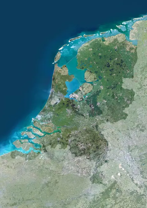
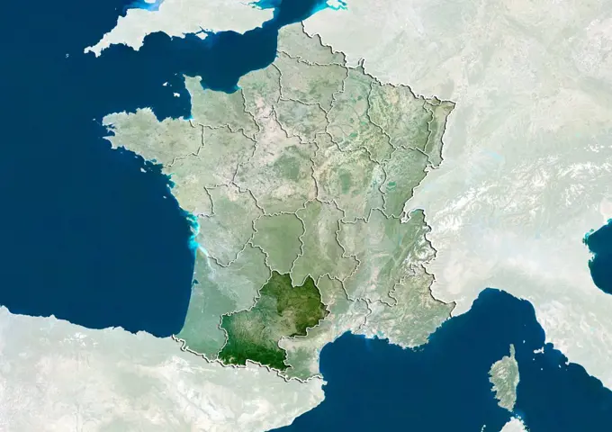
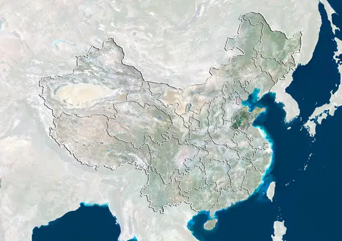
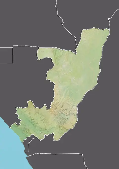
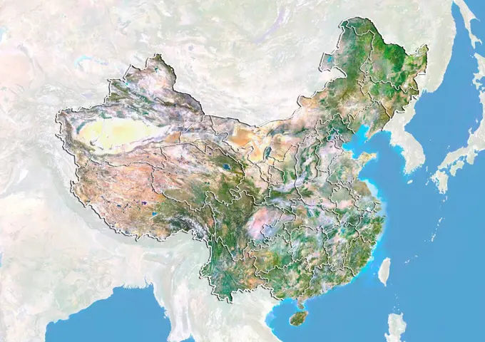
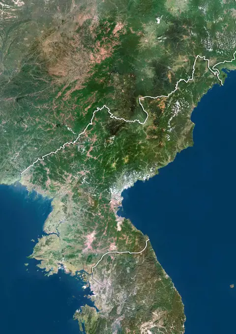
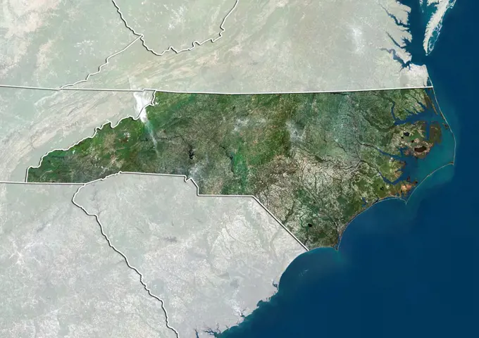
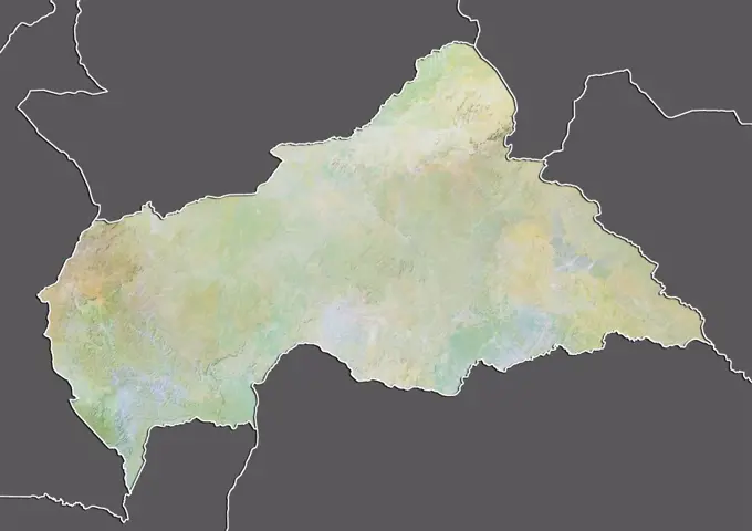
Satellite Relief Maps of CountriesHigh-resolution satellite imagery displaying the terrain and borders of various countries, including Cameroon, Colombia, and others, emphasizing geographical features. Color satellite image of Thailand, with mask. 406 assets in this story1899-799151899-821821899-669081899-535180751899-535181156145-448078991899-806861899-668361899-212895061899-212895161899-805811899-805671899-802251899-807191899-668291899-815611899-815971899-816601899-798371899-535179721899-535177351899-535179231899-535182481899-816161899-797771899-807291899-798211899-668011899-814851899-212904951899-820881899-807711899-805591899-810291899-814711899-535181571899-818711899-815936145-445990631899-806931899-668191899-809461899-806791899-809341899-352201899-350861899-809581899-809641899-809541899-798801899-809281899-354761899-212897071899-804211899-799461899-809421899-802771899-353221899-816211899-212898721899-819991899-807301899-806671899-795671899-212900741899-807921899-668241899-802641899-806811899-801411899-808771899-801331899-823011899-212897391899-212897581899-815271899-667831899-808131899-345911899-349481899-820341899-797381899-212899711899-535176871899-809061899-820461899-535178401899-667401899-816071899-798601899-535179431899-535179351899-815361899-354971899-821671899-806891899-797341899-668726145-450583441899-21290007 PREVIOUS of 5 NEXT