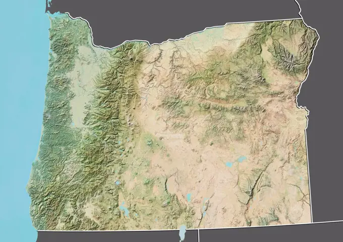
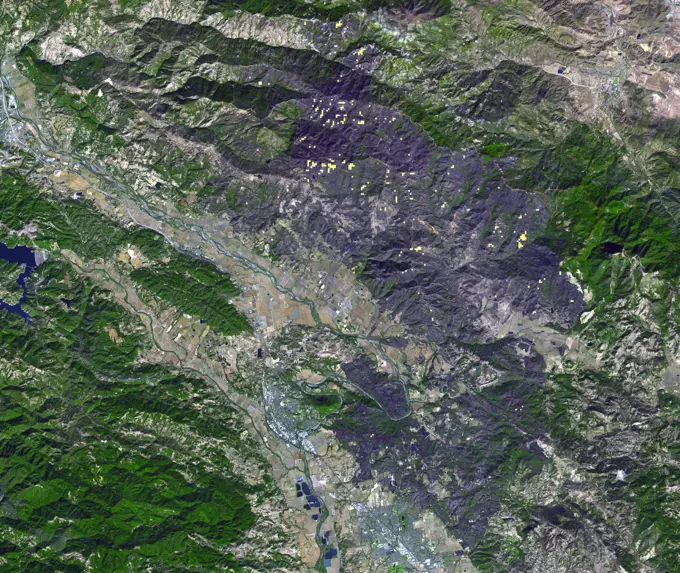
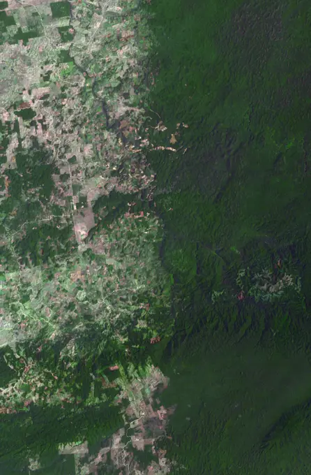
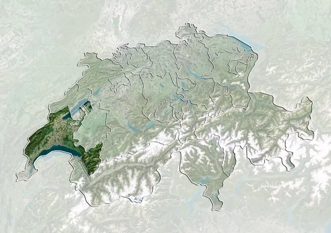
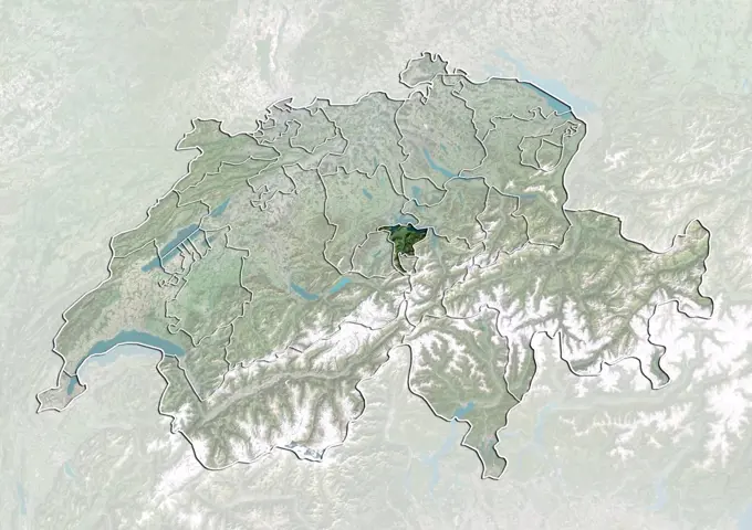
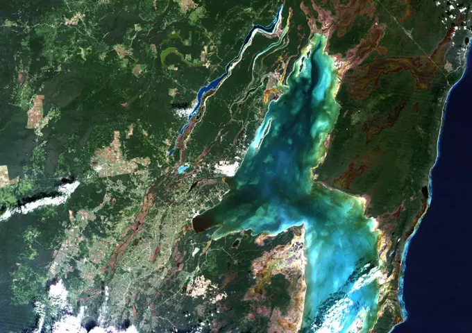
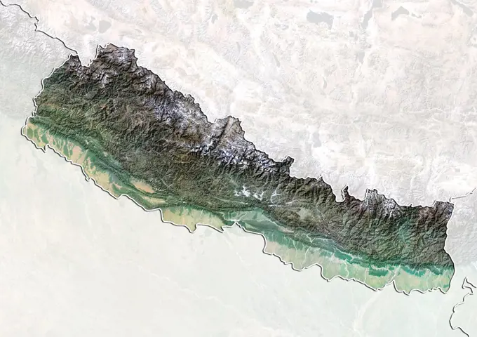
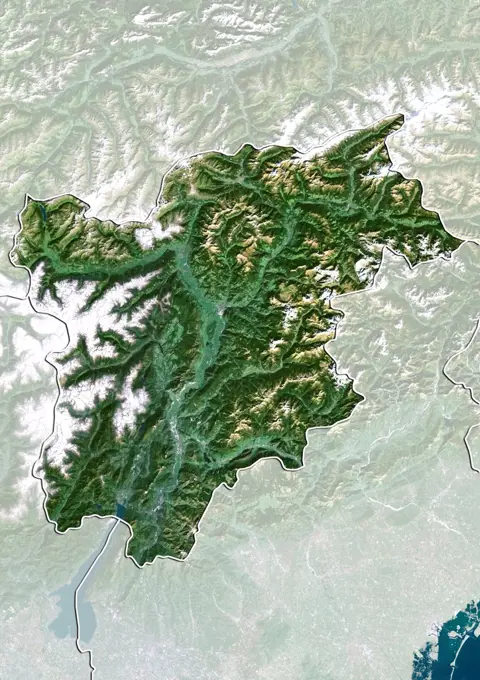
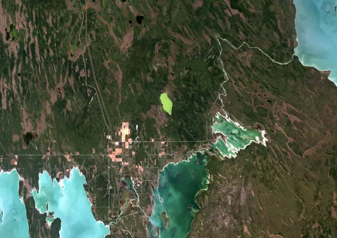
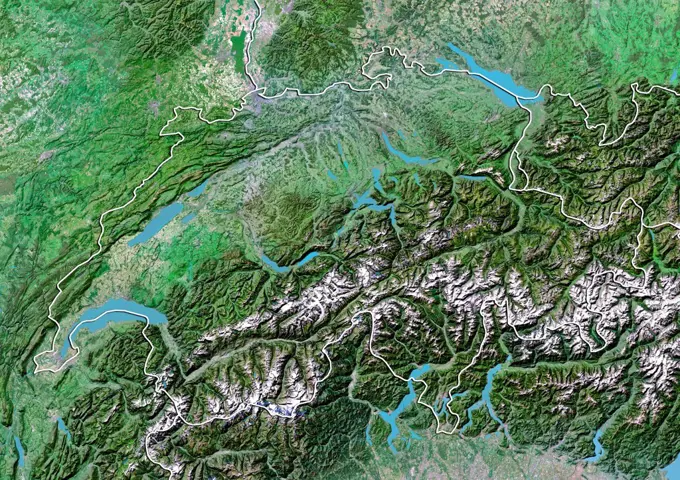
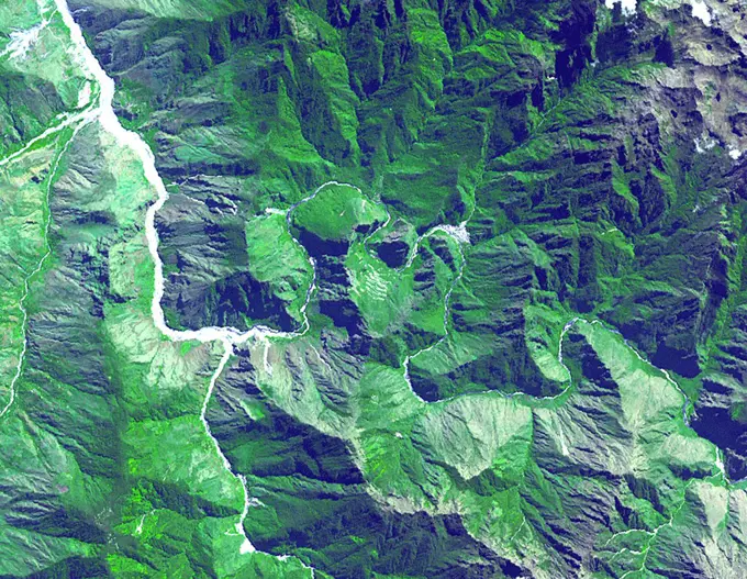
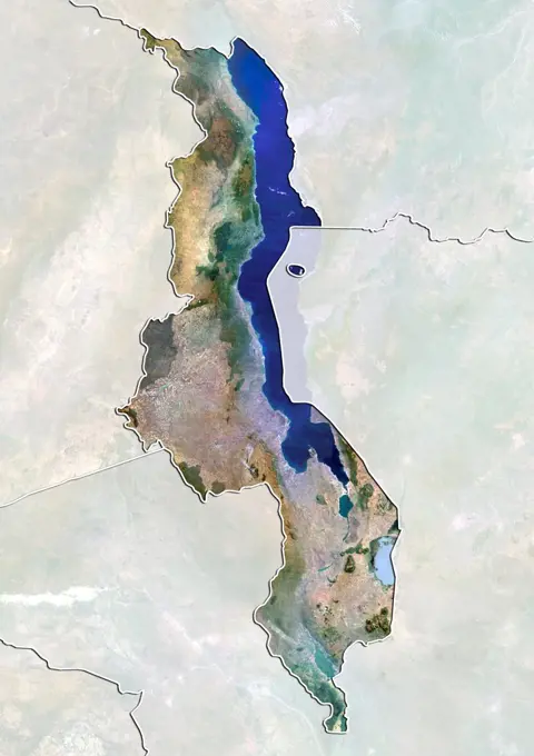
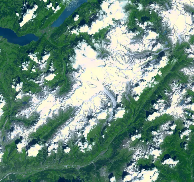
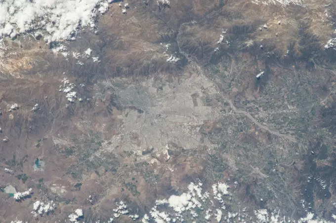
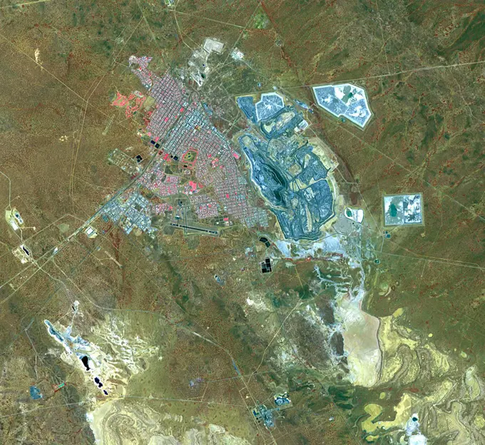
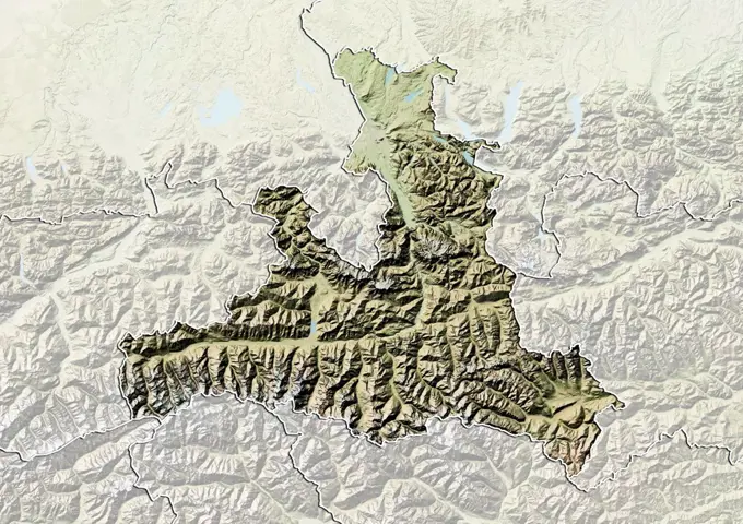
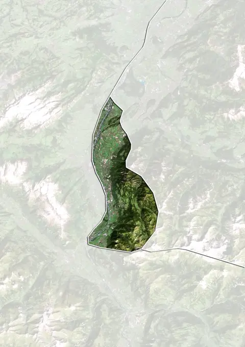
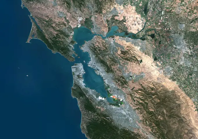
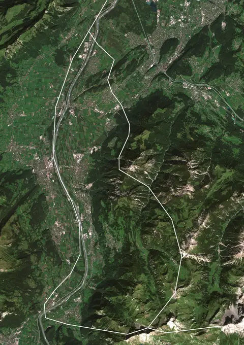
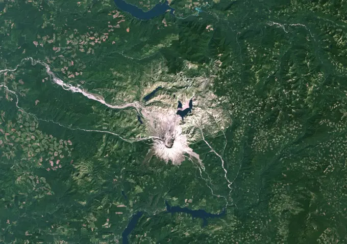
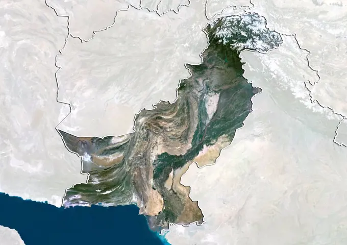
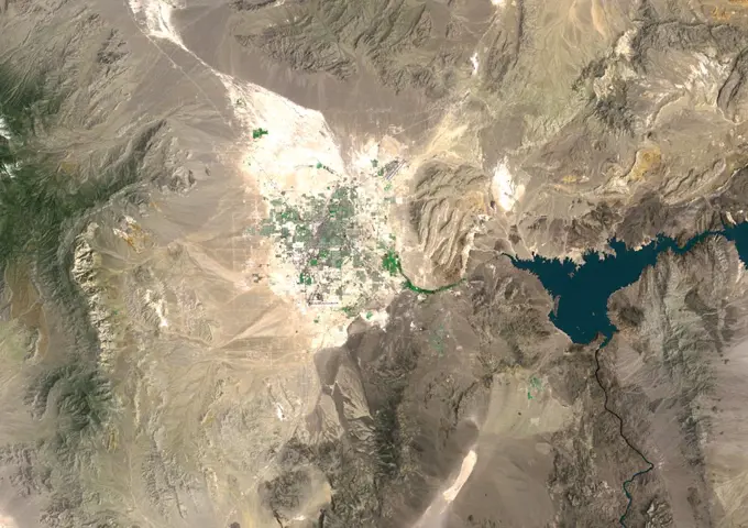
Satellite Views of European Regions

True color satellite images showcasing various European regions, including Slovakia, Romania, and Andorra, highlighting landscapes and borders.

Color satellite image of Central Asia centered on Kazakhstan.
Color satellite image of Georgia and neighbouring countries.Color satellite image of Togo and neighbouring countries.Relief map of the State of Oregon, United States. This image was compiled from data acquired by LANDSAT 5 & 7 satellites combined with elevation data.New Zealand contains over 3,000 glaciers, most of which are in the Southern Alps on the South Island. Since 1890, the glaciers have been retreating, with short periods of small advances, as shown in this image from NASA's Terra spacecraft.Satellite view of the province of Hebei, China. This image was compiled from data acquired by LANDSAT 5 & 7 satellites.iss061e093391 (Dec. 20, 2019) --- The Kabkabiya District in western Sudan near the border of Chad is pictured as the International Space Station orbited 260 miles above the African continent.Satellite view of Switzerland showing the canton of Neuchatel. This image was compiled from data acquired by LANDSAT 5 & 7 satellites.Lake Powell, is a reservoir on the Colorado River, straddling the border between Utah and Arizona (most of it, along with Rainbow Bridge, is in Utah). It is the second largest man-made reservoir by maximum water capacity in the United States behind Lake Mead. Satellite image, taken in 2002Thousands of acres damaged by the ongoing Kincade Fire in Northern California's Sonoma County are visible in this new image from the Advanced Spaceborne Thermal Emission and Reflection Radiometer (ASTER) instrument aboard NASA's Terra satellite. The image was taken at 11 01 a.m. PST (2 01 p.m. EST) on Nov. 3, 2019. The burned area appears dark gray in ASTER's visible channels. Hotspots, where the fire is still smoldering, appear as yellow dots in ASTER's heat-sensing, thermal infrared channels. After starting on Oct. 23, forcing residents to evacuate, the fire had burned 77,758 acres and destroyed 372 structures by Nov. 3, according to the California Department of Forestry and Fire Protection. It is now over 80% contained. The town of Healdsburg is in the center of the image, which covers an area of about 24 by 25 miles (39 by 40 kilometers).Relief map of the State of Oregon, United States. This image was compiled from data acquired by LANDSAT 5 & 7 satellites combined with elevation data.Color satellite image of Las Vegas, Nevada in 2022.The border between Belize and Guatemala illustrates striking differences in land use practices. In a study of deforestation published in 2016, Chicas and co-authors found that in their study area between 1991 and 2014, on the Guatemalan side of the border forested land declined 32%; in Belize, forested area declined 11%. In part of their study area shown in this image, the difference is more dramatic near-pristine forest in Belize on the right, and agricultural fields in Guatemala on the left. The image was acquired May 10, 2016, covers an area of 27 by 41 km, and is located at 16.7 degrees north, 89.2 degrees west.Satellite view of the province of Guizhou, China. This image was compiled from data acquired by LANDSAT 5 & 7 satellites.Satellite view of Burundi (with country boundaries). This image was compiled from data acquired by Landsat satellites.Lake Powell, is a reservoir on the Colorado River, straddling the border between Utah and Arizona (most of it, along with Rainbow Bridge, is in Utah). It is the second largest man-made reservoir by maximum water capacity in the United States behind Lake Mead. Satellite image, taken in 2001Satellite view of Switzerland showing the canton of Vaud. This image was compiled from data acquired by LANDSAT 5 & 7 satellites.Satellite view of Switzerland showing the canton of Nidwalden. This image was compiled from data acquired by LANDSAT 5 & 7 satellites.Chetumal Bay, Mexico, True Colour Satellite Image. True colour satellite image of the Yucatan peninsula and Chetumal Bay, known for its coral reef, lies on the border between Mexico and Belize. Image taken on 20 November 1990 using LANDSAT data.Color satellite image of Yamoussoukro, Capital city of Ivory Coast. Image collected on February 12, 2019 by Sentinel-2 satellites.On Jan. 16, 2014, NASA's Terra spacecraft acquired this image of a wildfire broke that out in the mountains above the Los Angeles suburbs of Glendora and Azusa.Color satellite image of Juba, capital city of South Sudan. The city is situated on the White Nile. Image collected on March 19, 2017 by Sentinel-2 satellites.Colour satellite image of San Jose, Costa Rica. Image taken on September 12, 2013 with Landsat 8 data. Satellite view of Nepal with Bump Effect (with border and mask). This image was compiled from data acquired by LANDSAT 5 & 7 satellites.Satellite view of the region of Trentino-Alto Adige, Italy. This image was compiled from data acquired by LANDSAT 5 & 7 satellites.Color satellite image of Bolivia and neighbouring countries, with borders.SL3-122-2581 (July-September 1973) --- Skylab 3 Earth view of the Grand Canyon, Lake Mead and Kaibab.Satellite view of Togo (with country boundaries). This image was compiled from data acquired by Landsat satellites.Satellite view of the district of Beja, Portugal. This image was compiled from data acquired by LANDSAT 5 & 7 satellites.Bangladesh, Asia, True Colour Satellite Image With Border And Mask. Satellite view of Bangladesh (with border and mask). This image was compiled from data acquired by LANDSAT 5 & 7 satellites.Color satellite image of Cameroon and neighbouring countries, with borders.Himalaya Mountains, Asia, True Colour Satellite Image. Satellite image of the snow-capped peaks and ridges of the Himalaya Mountains, from Afghanistan to Myanmar (Burma). This image was compiled from data acquired by LANDSAT 5 & 7 satellites. Print size 42 x 17.02 cm.Relief map of Georgia (with border). This image was compiled from data acquired by LANDSAT 5 & 7 satellites combined with elevation data.Color satellite image of Malawi and neighbouring countries.Color satellite image of Greater Jakarta, Indonesia. Mount Pangrango and Mount Salak, two volcanoes of West Java, are at south. Image collected on September 22, 2017 by Sentinel-2 satellites.Satellite view of Montenegro with Bump Effect (with border and mask). This image was compiled from data acquired by LANDSAT 5 & 7 satellites.Popocatepetl Volcano, Mexico, True Colour Satellite Image. Popocatepetl volcano, Mexico, true colour satellite image. The Popocatepetl (5465m) is located 60 km South East of Mexico city. Image taken on 7 March 1989 using LANDSAT data. Print size 30 x 30 cm.Franche-Comte Region, France, True Colour Satellite Image. Franche Comté region, France, true colour satellite image. This image was compiled from data acquired by LANDSAT 5 & 7 satellites.Lake Powell, is a reservoir on the Colorado River, straddling the border between Utah and Arizona (most of it, along with Rainbow Bridge, is in Utah). It is the second largest man-made reservoir by maximum water capacity in the United States behind Lake Mead. Satellite image, taken in 2012Colour satellite image of Juba, South Sudan. Image taken on August 26, 2014 with Landsat 8 data. Satellite view of Central African Republic (with country boundaries). This image was compiled from data acquired by Landsat satellites.Malawi, Africa, True Colour Satellite Image With Mask. Satellite view of Malawi (with mask). This image was compiled from data acquired by LANDSAT 5 & 7 satellites.Burundi, Africa, True Colour Satellite Image With Border And Mask. Satellite view of Burundi (with border and mask). This image was compiled from data acquired by LANDSAT 5 & 7 satellites.Erosional features are prominent in this view of southern Colorado taken NASA's Shuttle Radar Topography Mission (SRTM). The area covers about 20,000 square kilometers and is located about 50 kilometers south of Pueblo, Colorado.Satellite view of Switzerland showing the canton of Glarus. This image was compiled from data acquired by LANDSAT 5 & 7 satellites.Satellite view of Switzerland showing the canton of Zurich. This image was compiled from data acquired by LANDSAT 5 & 7 satellites.Satellite view of Kosovo (with border and mask). This image was compiled from data acquired by LANDSAT 5 & 7 satellites.Cotopaxi Volcano, Ecuador, True Colour Satellite Image. Cotopaxi volcano, Ecuador, true colour satellite image. 40km South-East of Quito, Cotopaxi (5897m) is one of the most dangerous volcanoes of Ecuador. Composite image dated 1999-2001 using LANDSAT data. Print size 30 x 30 cm.Relief map of Liechtenstein (with border). This image was compiled from data acquired by LANDSAT 5 & 7 satellites combined with elevation data.Satellite view of the State of Illinois, United States. This image was compiled from data acquired by LANDSAT 5 & 7 satellites.Satellite view of Mount Kilimanjaro, Tanzania. This dormant volcano is the highest mountain in Africa. It is part of the Kilimanjaro National Park. This image was compiled from data acquired by Landsat satellites.The Esperanza fire started on October 26, 2006 in the dry brush near Palm Springs, CA. This image was acquired in 2006 by NASA's Terra spacecraft.Earth observation taken by Expedition 68 crew. iss068e006715 (Oct. 1, 2022) --- This portion of the Euphrates River, containing the Keban Dam Reservoir created by the Keban Dam, is pictured in eastern Turkey from the International Space Station as it orbited 260 miles above.Color satellite image of Brazzaville, capital city of the Republic of the Congo, and Kinshasa, capital city of the Democratic Republic of the Congo. Brazzavile is located on the north shore of the Congo River, while Kinshasa lies on the south shore. Image collected on September 19, 2017 by Sentinel-2 satellites.Color satellite image of Bangui, Capital city of Central African Republic. Image collected on January 08, 2020 by Sentinel-2 satellites.Relief map of the State of Montana, United States. This image was compiled from data acquired by LANDSAT 5 & 7 satellites combined with elevation data.Chamonix-Mont Blanc, France, True Colour Satellite Image. Chamonix & Mont Blanc, France. True colour satellite image of the Mont Blanc, in the Alps, that is the highest mountain in Western Europe. Its height is about 4,808 m (15,774 feet), This image was compiled from data acquired by LANDSAT 5 & 7 satellites.Satellite view of the State of Saxony, Germany. This image was compiled from data acquired by LANDSAT 5 & 7 satellites.Colour satellite image of the Aral Sea. Image taken in 2010. Saint Martin Meteor Impact Crater, Canada, True Colour Satellite Image. True colour satellite image of Saint Martin impact structure, Canada (diameter : 40 km). Image taken on 7 September 1991 using LANDSAT data.Satellite view of Switzerland with Bump Effect (with border). This image was compiled from data acquired by LANDSAT 5 & 7 satellites.October 12, 2004 - Jack Hills, Australia. The oldest material on Earth which has yet been dated by man is a zircon mineral that is 4.4 billion years old and comes from a sedimentary gneiss in the Jack Hills of Australia's Narryer Gneiss Terrane. It is the most ancient fragment of the earths crust so far identified, formed approximately 150 million years after the planet itself. In August 2007, scientists reported finding the worlds oldest diamond crystals, encased inside the zircon crystals.  The ruins of Machu Picchu, rediscovered in 1911 by Hiram Bingham. June 25, 2001. Satellite image.Satellite view of Malawi (with border and mask). This image was compiled from data acquired by LANDSAT 5 & 7 satellites.Satellite view of Switzerland with bump effect, showing the canton of Jura. This image was compiled from data acquired by LANDSAT 5 & 7 satellites combined with elevation data.Satellite view of Switzerland with bump effect, showing the canton of Aargau. This image was compiled from data acquired by LANDSAT 5 & 7 satellites combined with elevation data.Dust Storm in Afghanistan and Tajikistan Seen by MODISSatellite view of Switzerland with bump effect, showing the canton of Fribourg. This image was compiled from data acquired by LANDSAT 5 & 7 satellites combined with elevation data.Acquired by NASA's Terra spacecraft, this image shows the Three Gorges Dam which spans the Yangtze River in east-central China, and is the world's largest power station in terms of installed capacity.Relief map of Switzerland showing the canton of Ticino. This image was compiled from data acquired by LANDSAT 5 & 7 satellites combined with elevation data.Color satellite image of Santa Cruz de la Sierra, Bolivia in 1988 and 2020.Satellite image, 5 October 2002, showing water-logged lowlands in India and Bangladesh. Bright blue is rivers, lakes and flooded areas. Dark area centre foreground is Bay of Bengal. Credit NASA.ISS015-E-28003 (12 Sept. 2007) --- A section of Dinosaur National Monument along the Yampa River in Colorado, which straddles the Colorado/Utah border, is featured in this image photographed by an Expedition 15 crewmember on the International Space Station. Dinosaur National Monument is perhaps best known for the abundant fossils found in the approximately 145 Ma (mega-annum, or millions of years old) Morrison Formation exposed in valleys and low ridges, according to scientists. The fossil assemblage is a unique record of terrestrial life of the period (dinosaurs, plants, and other animal species). Remains accumulated in streams and shallow lakes and were swiftly buried (and preserved) by sediments associated with those environments. Scientists believe these sediments in turn were lithified over many millions of years as they were buried under younger deposits -- forming the distinctive stratigraphy of the Monument. The generally flat-laying "layer cake" geology of the region -- similaSatellite view of Lake Volta, in Ghana. It is the largest reservoir by surface area in the world, and the fourth largest by volume. This image was compiled from data acquired by Landsat satellites.Satellite view of the State of Mato Grosso do Sul, Brazil. This image was compiled from data acquired by LANDSAT 5 & 7 satellites.Karymsky Volcano, Russia, True Colour Satellite Image. Karymsky volcano, Russia, true colour satellite image. Karymsky (1496m) is a young and active volcano. Its summit appears on the image under clouds, North of Caldera Lake. In the North-East is the active volcano, Maly Semiachik, and its a bright blue crater lake. Image taken on 30 July 2001 using LANDSAT data. Print size 30 x 30 cm.The Kondyor Massif is located in Eastern Siberia, Russia, north of the city of Khabarovsk. It is a rare form of igneous intrusion called alkaline-ultrabasic massif and it is full of rare minerals. The river flowing out of it forms placer mineral deposits. Last year 4 tons of platinum were mined there. A remarkable and very unusual mineralogical feature of the deposit is the presence of coarse crystals of Pt.-Fe alloy, coated with gold. This 3-D perspective view was created by draping a simulated natural colour ASTER composite over an ASTER-derived digital elevation model.Site of the Mount St Helens Volcanic eruption, as it appeared in 1979. On May 18, 1980, a major volcanic eruption occurred at Mount St. Helens, a volcano located in the state of Washington, United States. The eruption (a VEI 5 event) was the only significant volcanic eruption to occur in the contiguous 48 U.S. states since the 1915 eruption of Lassen Peak in California.1 However, it has often been declared as the most disastrous volcanic eruption in United States historyAletsch Glacier, the largest glacier of Europe, covers more than 120 square kilometers (more than 45 square miles) in southern Switzerland. NASA's Terra satellite captured this image on July 23, 2001.STS068-155-094 (30 September-11 October 1994) --- (Kliuchevskoi Volcano) The crewmembers used a Linhof large format Earth observation camera to photograph this nadir view of the Kamchatka peninsula's week-old volcano.  The eruption and the follow-up environmental activity was photographed from 115 nautical miles above Earth.  Six NASA astronauts spent a week and a half aboard the Space Shuttle Endeavour in support of the Space Radar Laboratory 2 (SRL-2) mission.Earth observations taken by Expedition 38 crewmember. Image was released by astronaut on Twitter.This area at the base of Mount Sharp on Mars includes a pale outcrop, called 'Pahrump Hills,' that NASA's Curiosity Mars rover investigated from September 2014 to March 2015.Satellite view of the State of Vermont, United States. This image was compiled from data acquired by LANDSAT 5 & 7 satellites.High over Vancouver - satellite composite of Vancouver Island and the lower mainland of British Columbia CanadaRelief map of Brasilia and the Federal District , Brazil. This image was compiled from data acquired by LANDSAT 5 & 7 satellites combined with elevation data.NASA's AVIRIS spectral map of the 2013 Rim fire in and near Yosemite National Park, CaliforniaThis image acquired by NASA's Terra spacecraft is of Kalgoorlie-Boulder, a city in the Goldfields-Esperance region of Western Australia.Relief map of the State of Salzburg, Austria. This image was compiled from data acquired by LANDSAT 5 & 7 satellites combined with elevation data.Satellite view of Liechtenstein (with border and mask). This image was compiled from data acquired by LANDSAT 5 & 7 satellites.Color satellite image of San Francisco Bay Area, California, United States. Image collected on September 27, 2017 by Sentinel-2 satellites.Color satellite image of Liechtenstein and neighbouring countries, with borders.Satellite view of the State of Saarland, Germany. This image was compiled from data acquired by LANDSAT 5 & 7 satellites.Mount St Helens, Washington State, Usa, True Colour Satellite Image. Mount St-Helens, true colour satellite image. Mount St-Helens is an active vulcanoe (2250m high) in Washington State. Image taken on 21 February 2000 using LANDSAT data.Satellite view of Pakistan (with border and mask). This image was compiled from data acquired by LANDSAT 5 & 7 satellites.Color satellite image of Salt Lake City, Utah, United States. Image collected on October 25, 2017 by Sentinel-2 satellites.EMIT Spots Methane Hotspots. A plume of methane - a potent greenhouse gas about 80 times more effective at trapping heat in the atmosphere than carbon dioxide - is detected flowing from an area southeast of Carlsbad, New Mexico, in an image that uses data from NASA's Earth Surface Mineral Dust Source Investigation (EMIT) mission. The 2-mile (3.3-kilometer) long plume originates in an area known as the Permian Basin, which spans parts of southeastern New Mexico and western Texas and is one of the largest oilfields in the world. EMIT uses an imaging spectrometer to detect the unique pattern of reflected and absorbed light - called a spectral fingerprint - from various materials on Earth's surface and in its atmosphere. Perched on the International Space Station, EMIT was originally intended to map the prevalence of minerals in Earth's arid regions, such as the deserts of Africa and Australia. Scientists verified that EMIT could also detect methane and carbon dioxide when they were checkiNASA's Terra spacecraft passed over the Blue Mountains to the west and north of Sydney, A mild winter and an extremely hot September in Australia have led to an early start to the fire season.Las Vegas, Nevada, Us, In 1975, True Colour Satellite Image. True colour satellite image of Las Vegas, Nevada, US. Image taken on 13 May 1975, using LANDSAT data.Relief map of the State of Arizona, United States. This image was compiled from data acquired by LANDSAT 5 & 7 satellites combined with elevation data.ISS005-E-09451 (11 August 2002) --- Jericho, Israel is featured in this image photographed by an Expedition 5 crewmember on the International Space Station (ISS). NASA experts on space-to-earth photos researched the background of the area and the details of the picture and supplied the following information: commonly known as “the oldest city in the world”, Jericho is an important historical, cultural, and political center located to the northwest of the Dead Sea. The city is perhaps best known from the Biblical account of a great victory over its Canaanite citizens by the Israelite leader Joshua, wherein the walls of the heavily fortified city were destroyed with divine assistance during the year 1400 BC. The site of ancient Jericho (known today as Tell es-Sultan), has been the focus of several archaeological excavations to investigate the Biblical account. The original settlement was built on a hill, or “tell”. The results of these excavations suggest that theWidespread agricultural burning continues throughout central Africa. Smoke and fires in several countries were seen by the Suomi NPP satellite. Most of the fires were burning in the southern region of the Democratic Republic of the Congo, Tanzania, Zambia and Angola. NASA-NOAA's Suomi NPP satellite's Visible Infrared Imaging Radiometer Suite (VIIRS) instrument captured a look at multiple fires and smoke on August 1 at 7 55 a.m. EDT (11 55 UTC). Actively burning areas, detected by VIIRS are outlined in red.