1950s Aerial Mapping of Massachusetts
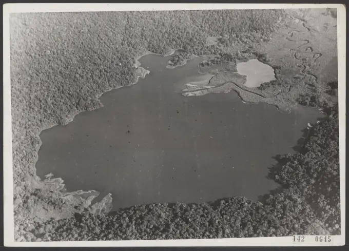
A collection of aerial photographs depicting land subdivisions and properties in Lunenburg, Massachusetts, showcasing rural landscapes and road intersections.

A collection of aerial photographs depicting land subdivisions and properties in Lunenburg, Massachusetts, showcasing rural landscapes and road intersections.