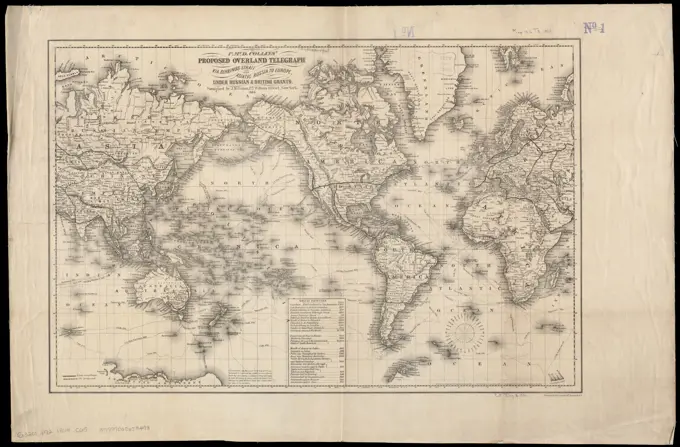
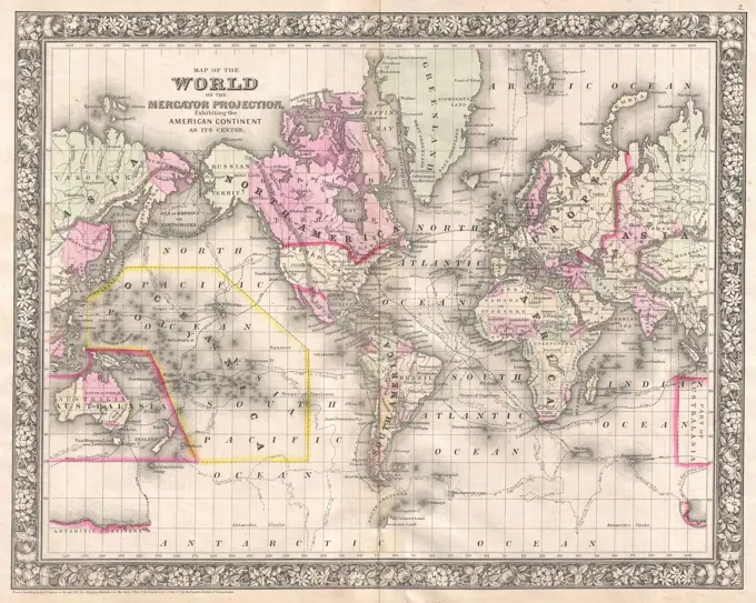
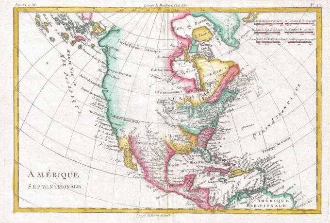
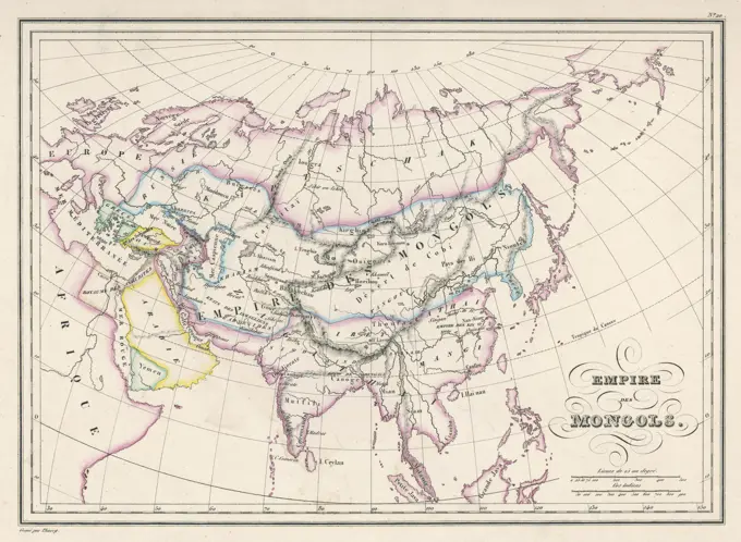
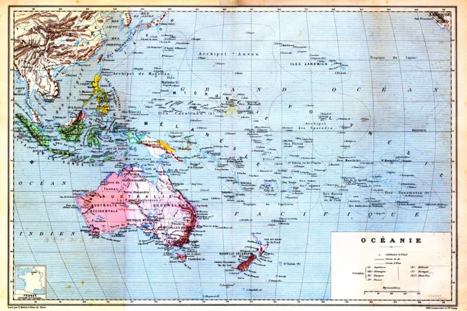
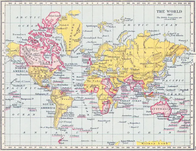
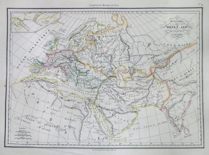
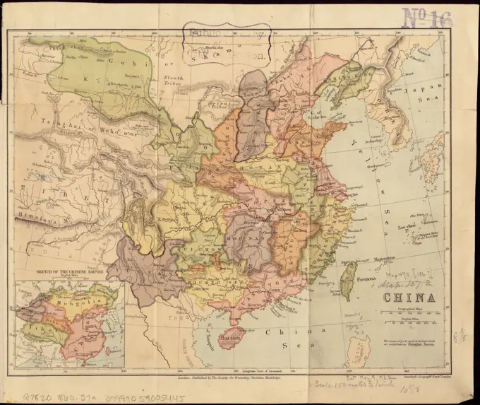
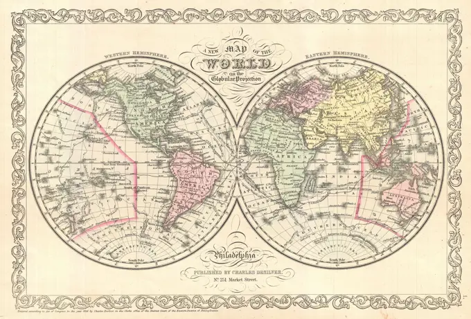
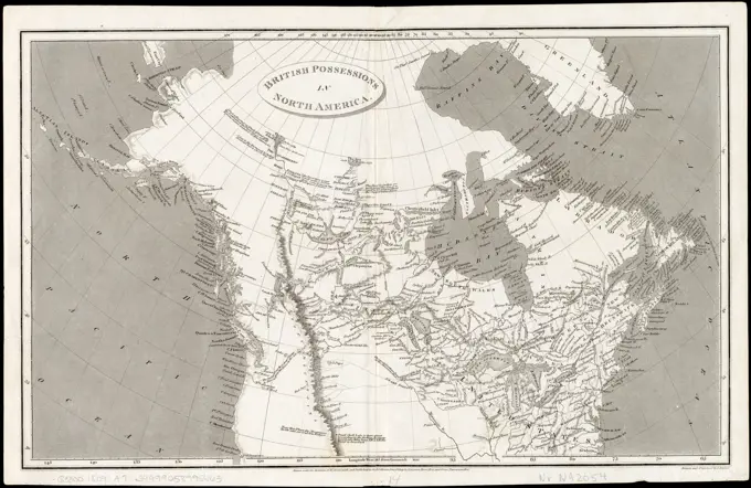
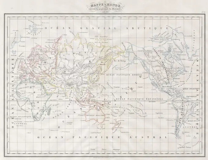
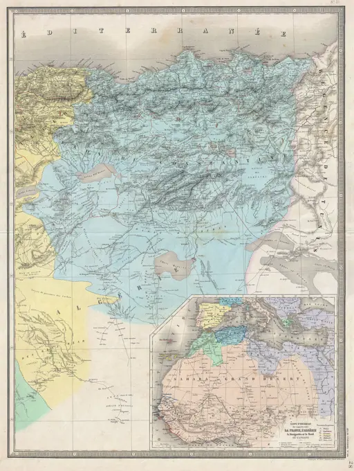
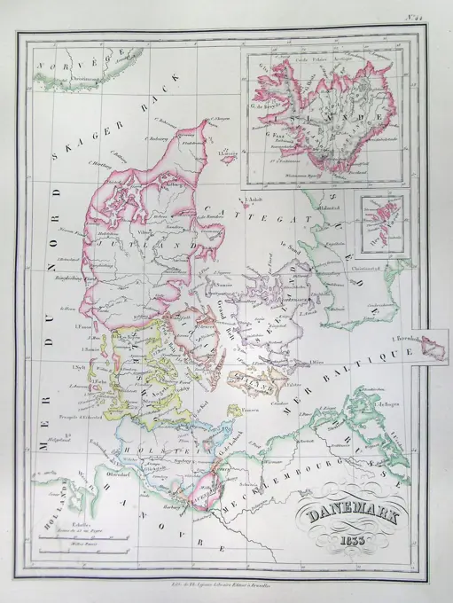
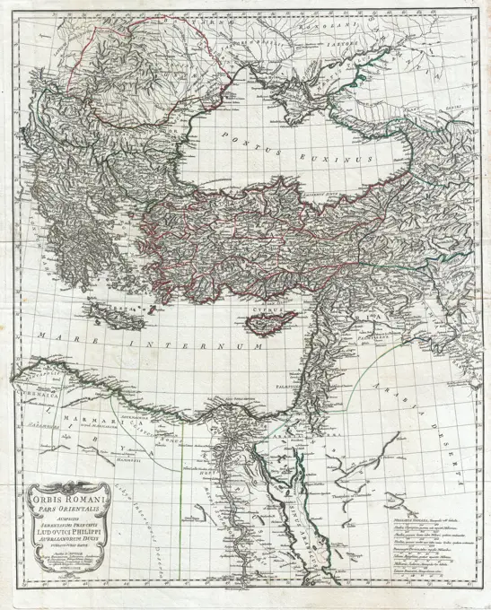
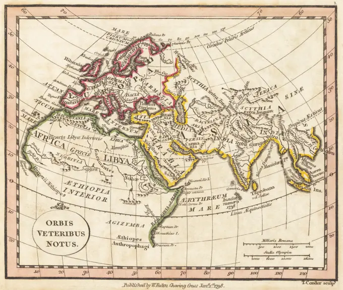
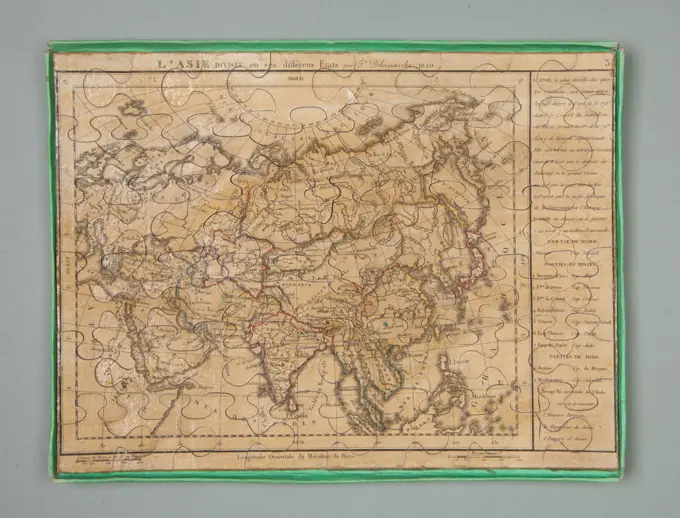
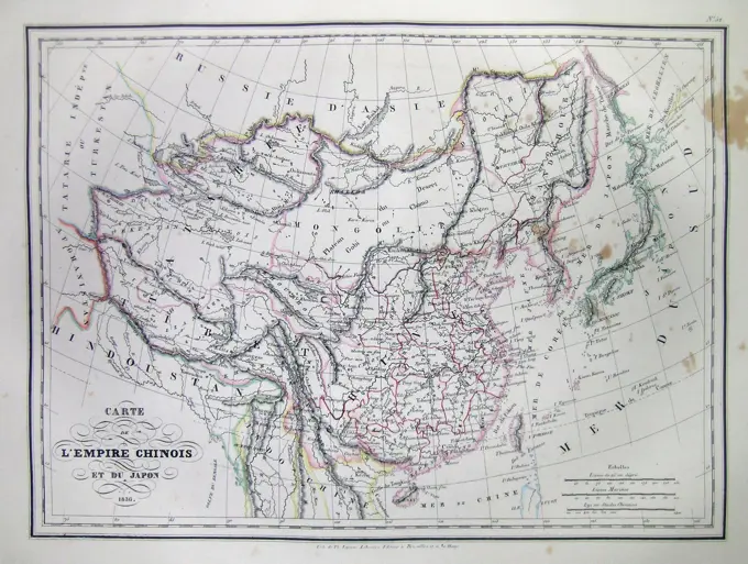
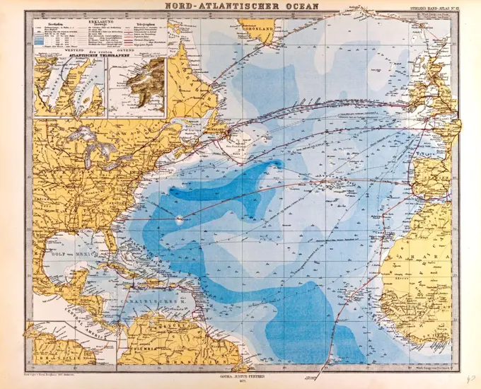
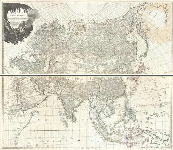
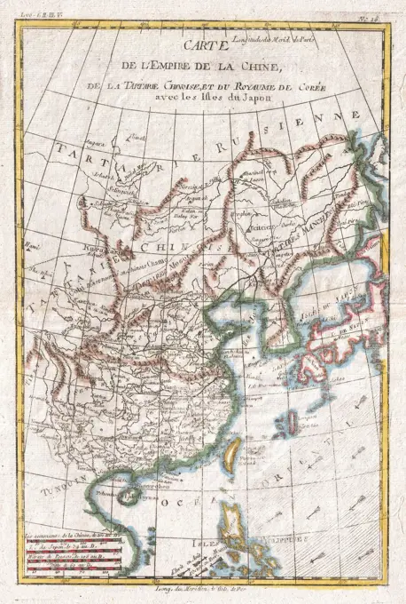
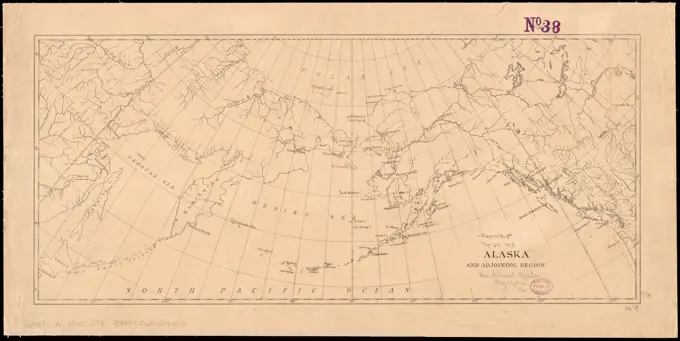
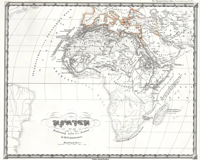
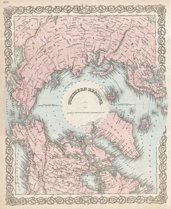
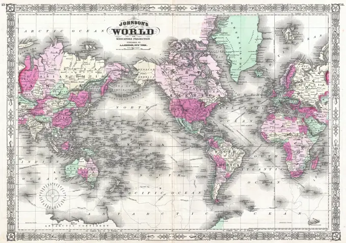
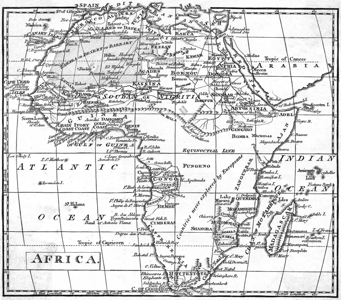
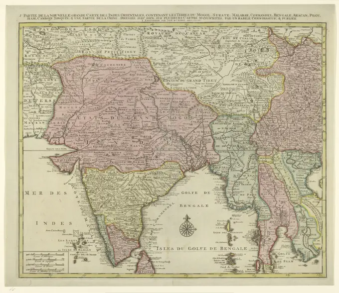
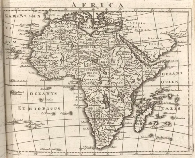
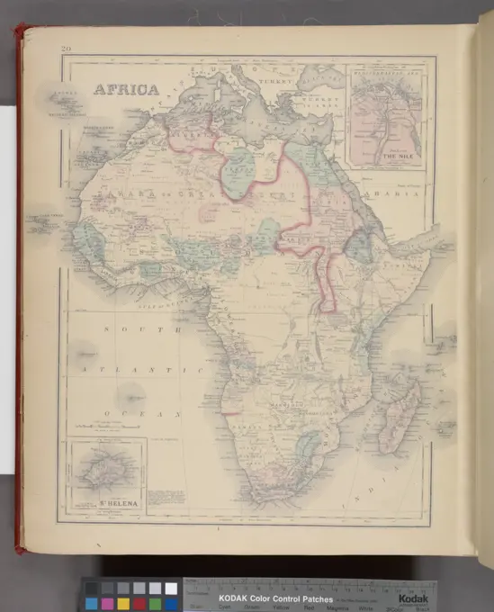
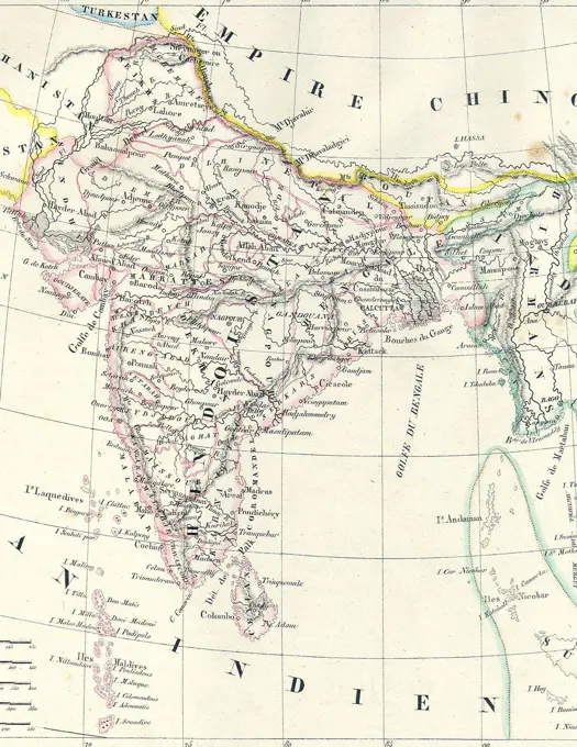
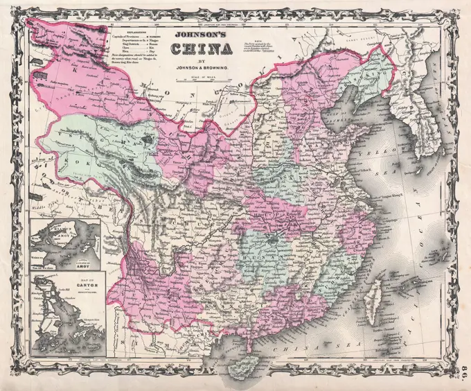
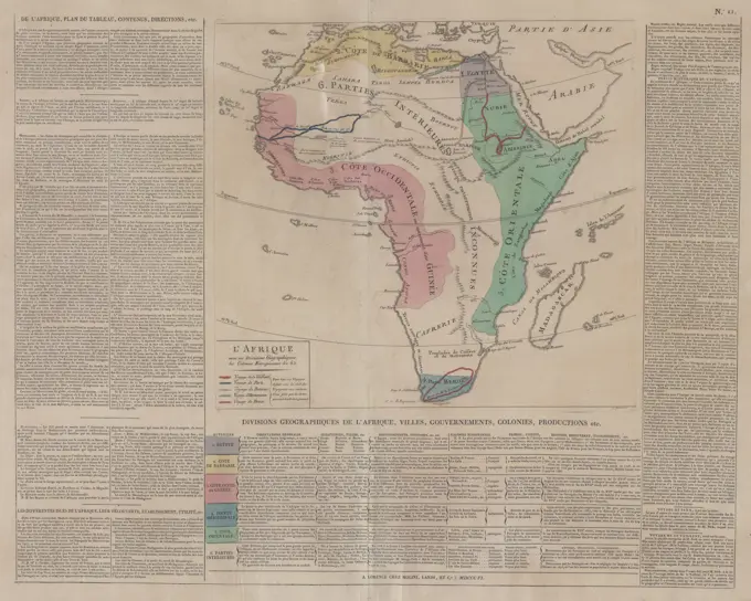
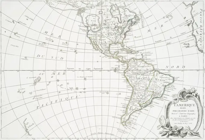
19th Century World Maps
Antique maps depicting global geography and historical narratives, illustrating world views and exploration during the 19th century.

Antique maps depicting global geography and historical narratives, illustrating world views and exploration during the 19th century.