Aerial Mapping of Lunenburg Properties
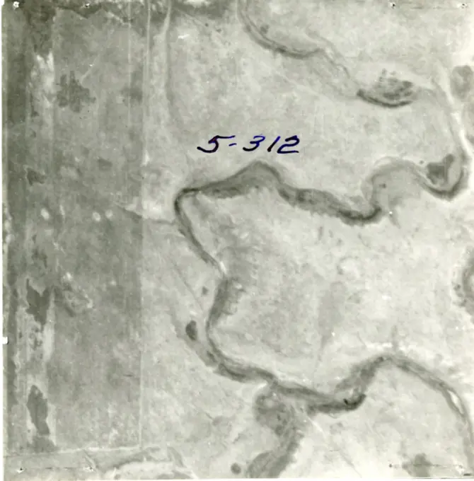
Black and white aerial images showcasing land subdivisions near Lunenburg, Massachusetts, featuring patterns of fields and woods from the 1950s. Properties near Howard Street , Land subdivision. Lunenburg Massachusetts 1950 Aerial Mapping 143 assets in this story6145-540319386145-522989346145-543612316145-519460216145-546754496145-489431986145-544014046145-519298826145-551727636145-303065136145-519662706145-522995706145-296237376145-529443366145-522989646145-529253046145-296062736145-519559371746-299558496145-303065836145-531593676145-531534426145-296483366145-296243035513-755181636145-296217156145-519460206145-529252966145-519331396145-303052666188-645564366145-519662686145-519460196145-296699164409-258786145-504847016145-489408596145-296483256145-519298836145-296752556145-438095571899-189783666145-51930751 PREVIOUS of 2 NEXT