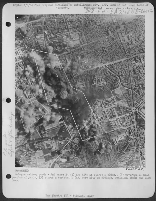
Aerial Views of Land Developments
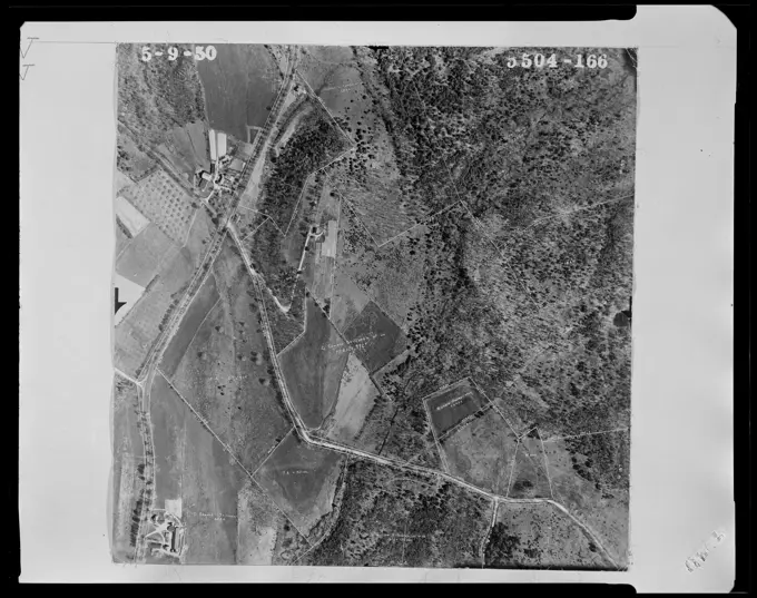
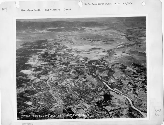
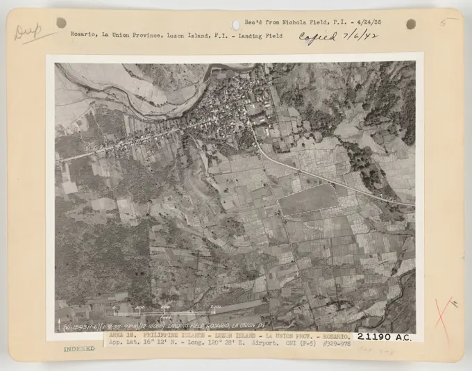
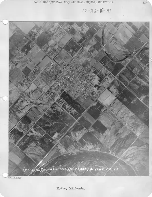
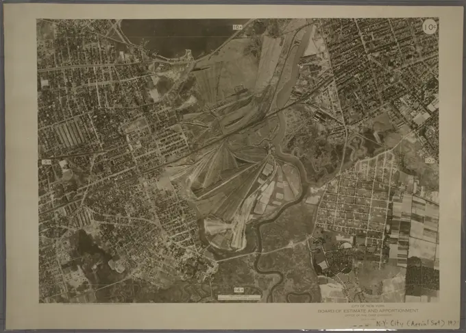
Black and white aerial photographs from the 1950s showing land properties and subdivisions in Lunenburg, Massachusetts. Properties near the intersection of Massachusetts Avenue and Chase Road , Land subdivision. Lunenburg Massachusetts 1950 Aerial Mapping 208 assets in this story6145-505135116145-487015776145-505134806145-505135086145-505134856145-542880126145-505134056145-505134646145-487015736145-489491916145-505134876145-487015666145-505134086145-487016626145-487015716145-506103966145-487016016145-489506446145-505134796145-505134916145-505135226145-487015696145-505135006145-488968476145-505134886145-505134786145-540319916145-489534966145-489521786145-505134206145-487016436145-505134896145-489489076145-540332716145-487015496145-487015576145-540308416145-558485316145-487015216145-505135026145-489478086145-540333506145-505134236145-505134366145-488970626145-488968546145-540333236145-505134426145-540331026145-505134076145-488973126145-489496116145-540330836145-540329256145-558297136145-505134946145-505134606145-557933866145-488968336145-467959806145-489528326145-558308826145-489436566145-489478316145-489491176145-540330546145-540345526145-489302436145-489494726145-542896286145-558479686145-542895126145-540328776145-489455836145-540331006145-558337986145-558461036145-489407496145-540304486145-489308076145-559247216145-529468186145-558462376145-505134936145-546755056145-542894356145-514353836145-559247276145-487015976145-489394646145-522992496145-487015156145-303067946145-505134096145-487016546145-540313106145-558249486145-529450606145-489292646145-48948908 PREVIOUS of 3 NEXT