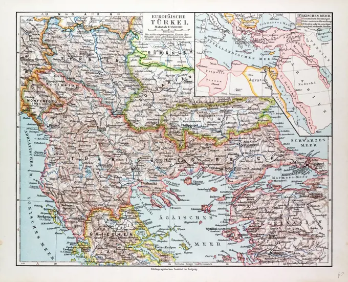
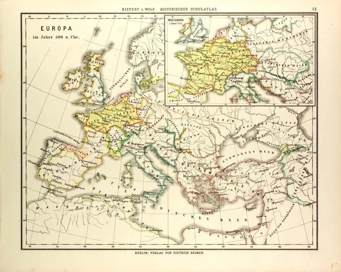
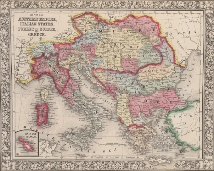
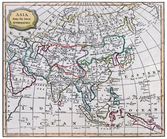
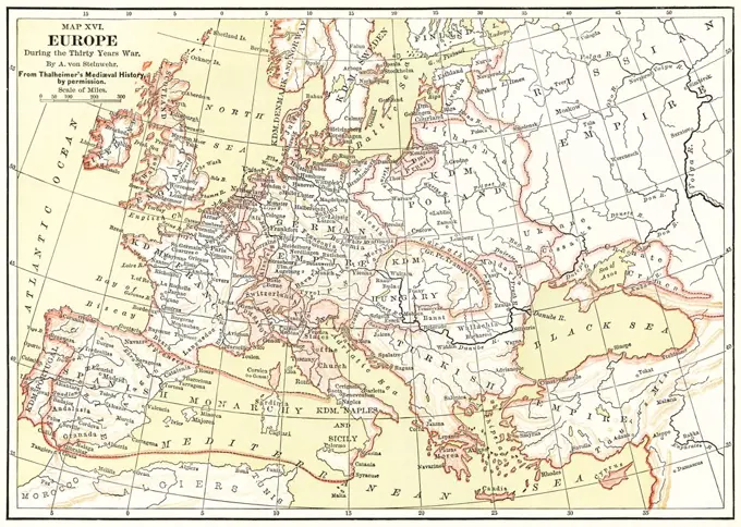
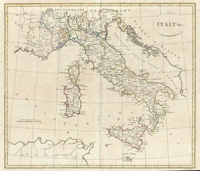
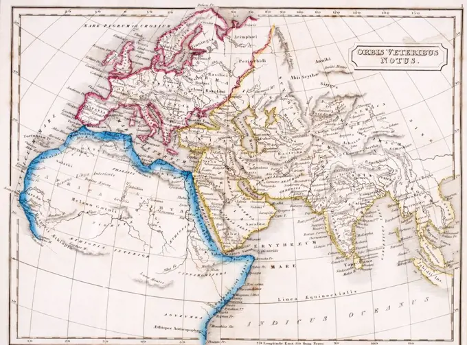
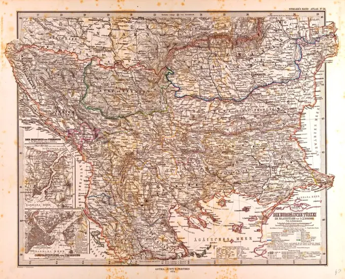
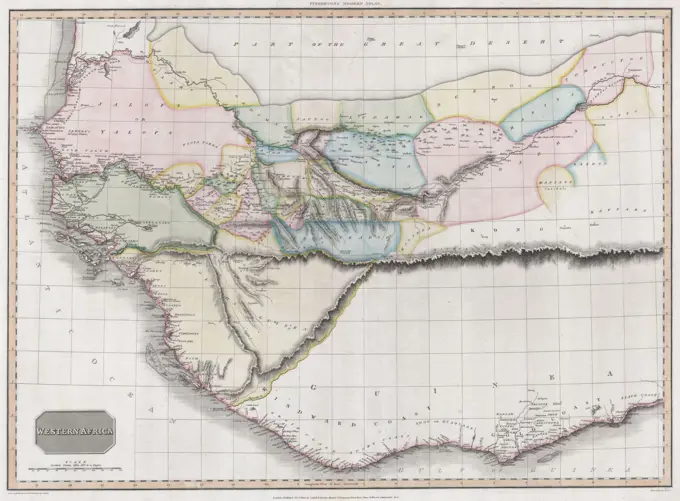
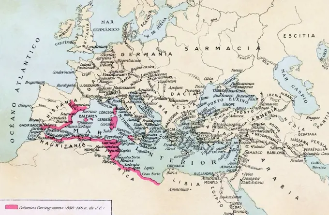
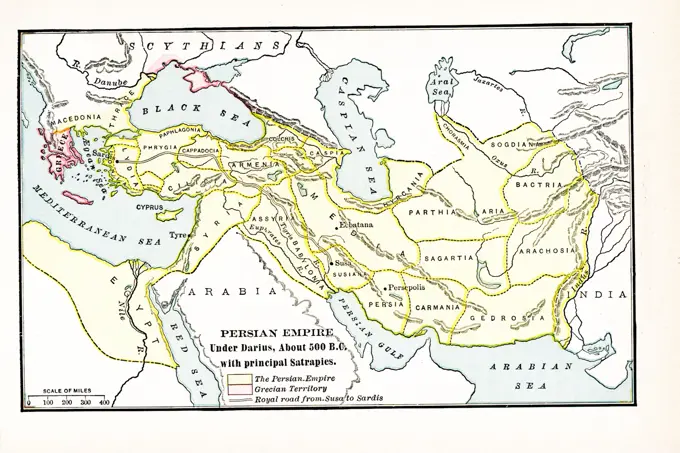
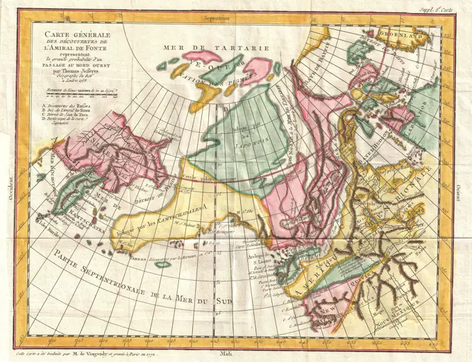
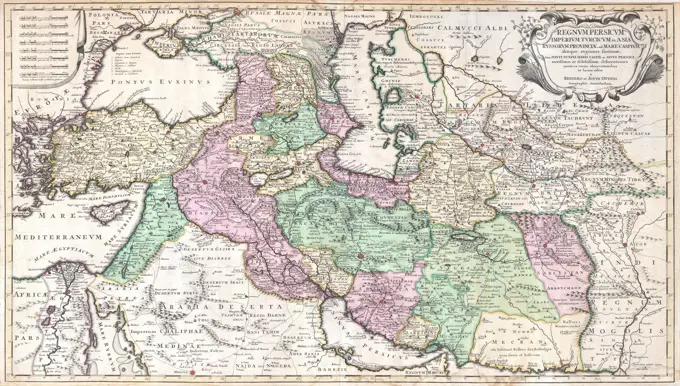
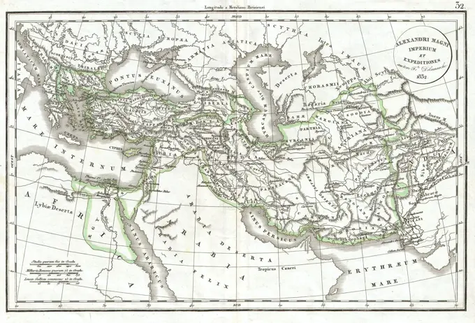
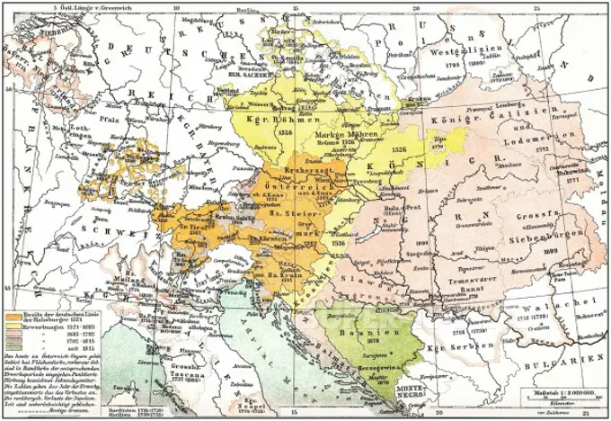
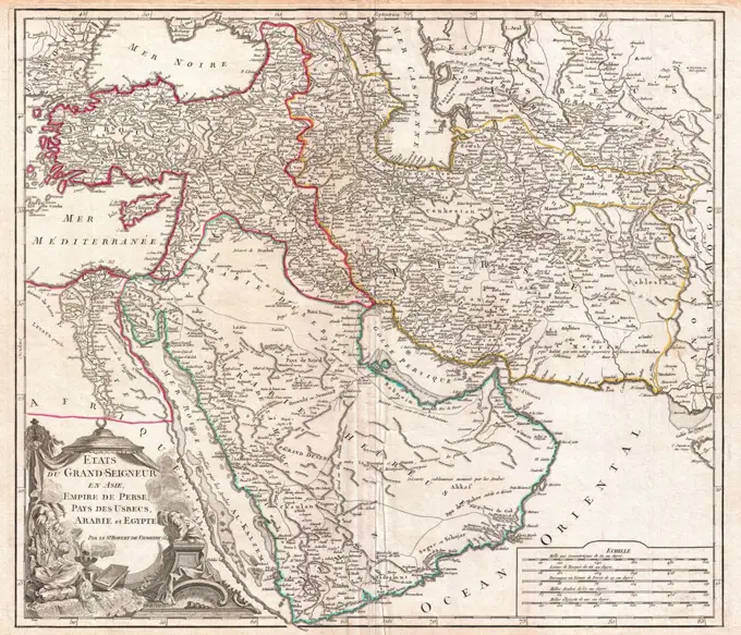
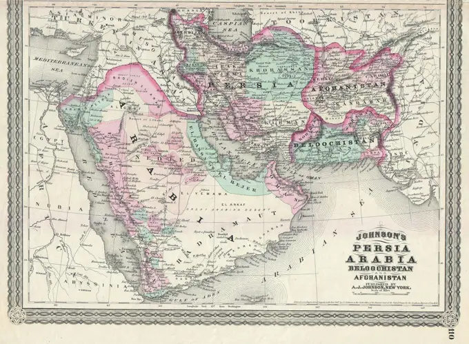
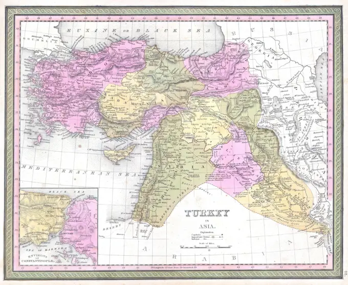
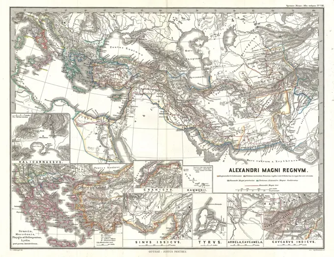
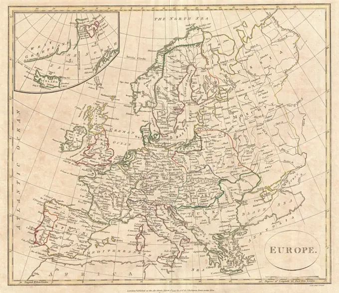
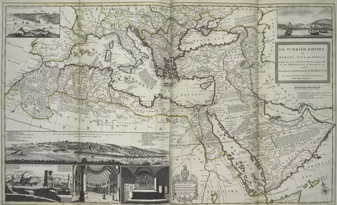
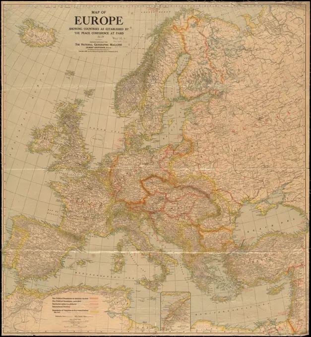
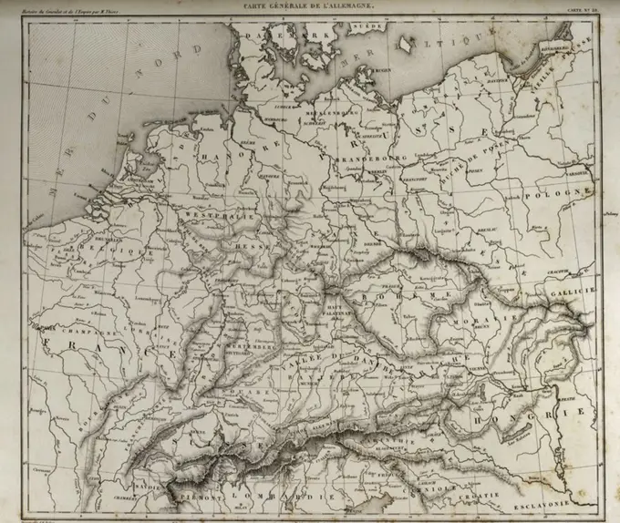
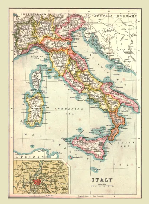
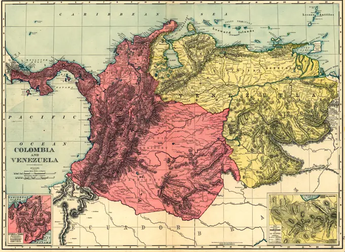
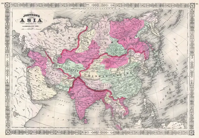
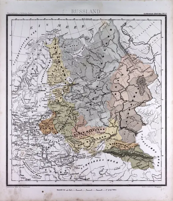
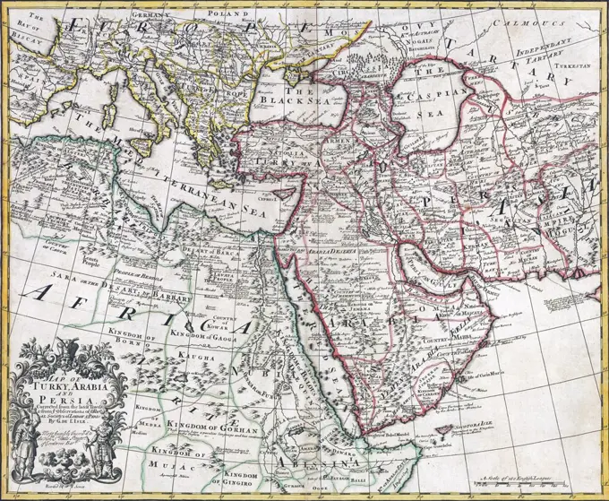
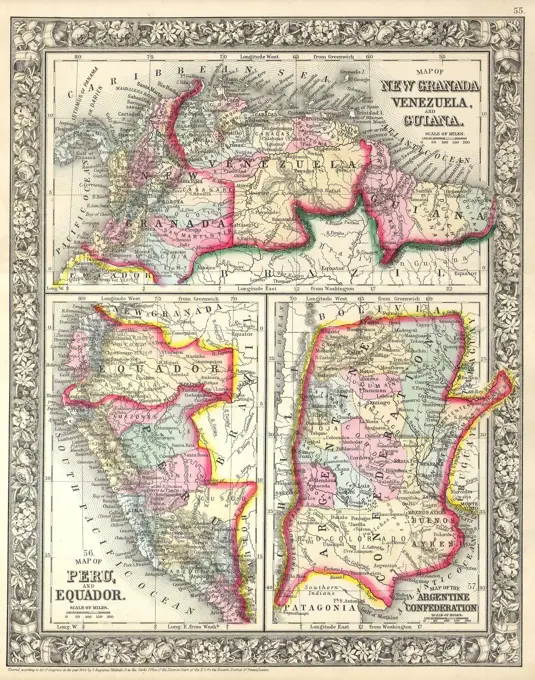
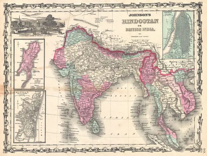
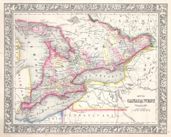
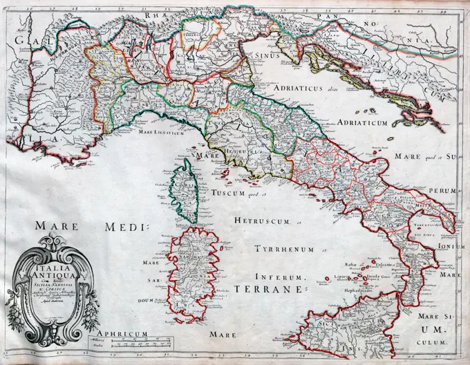
Ancient and Historical World Maps
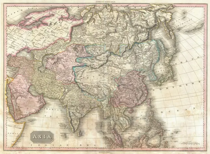
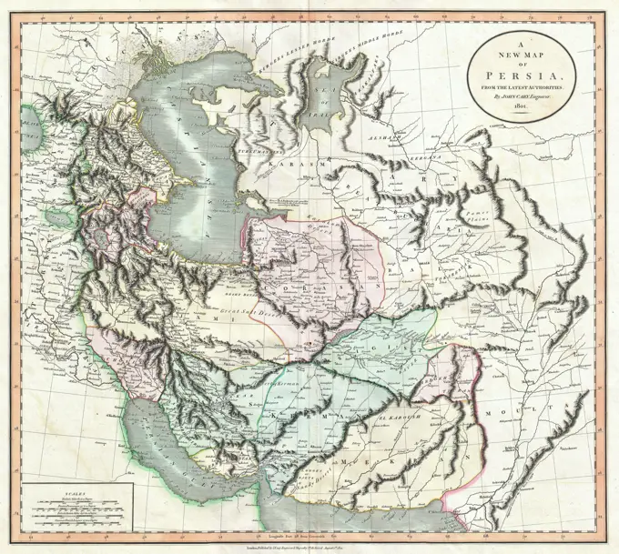
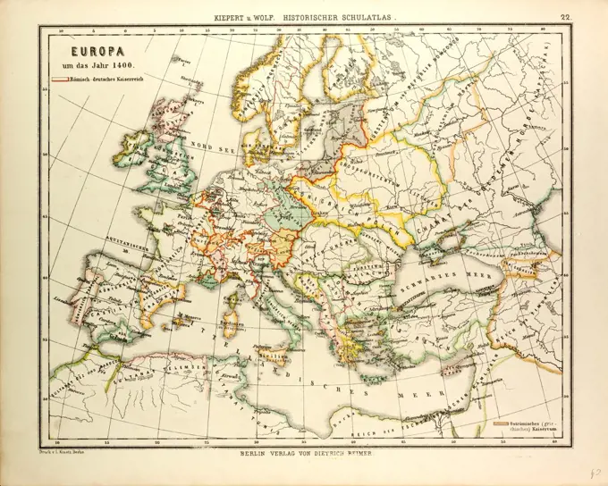
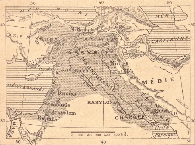
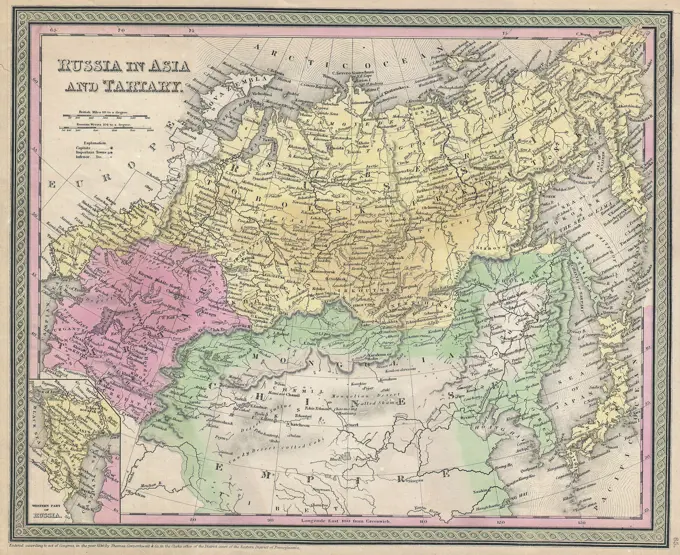
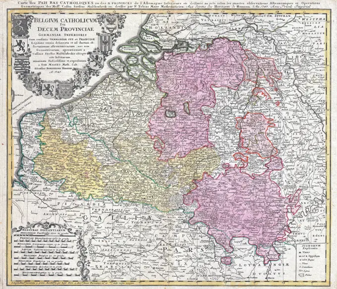
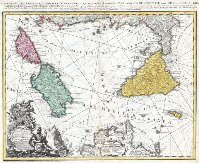
A series of maps illustrating regions of the Roman Empire and ancient Europe, showcasing boundaries and territories from the 3rd to the 19th century.

A series of maps illustrating regions of the Roman Empire and ancient Europe, showcasing boundaries and territories from the 3rd to the 19th century.