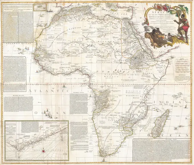
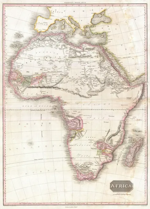
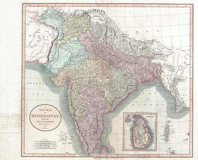
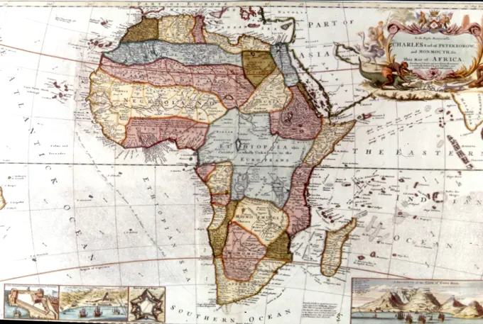
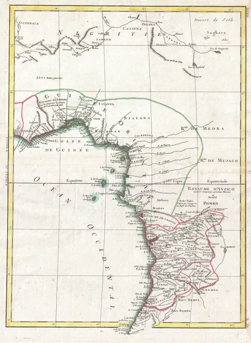
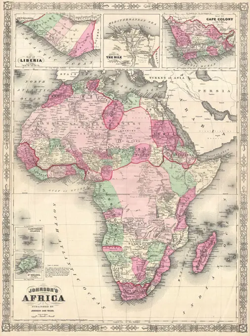
Antique Maps of Africa

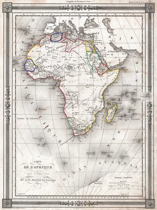
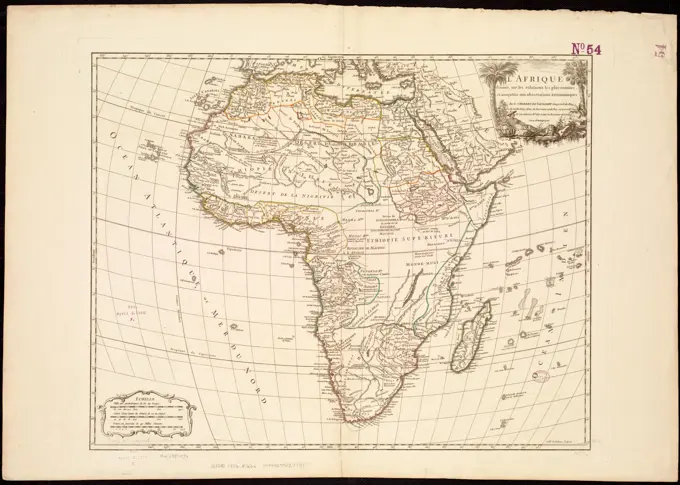
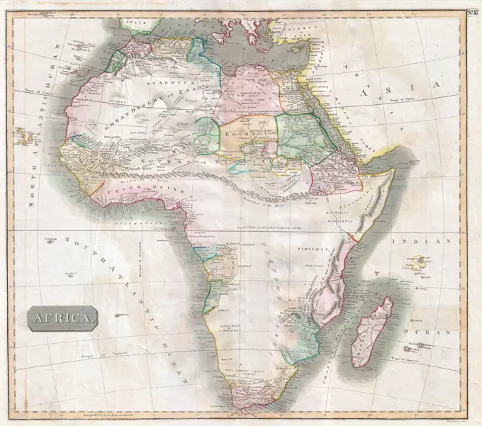
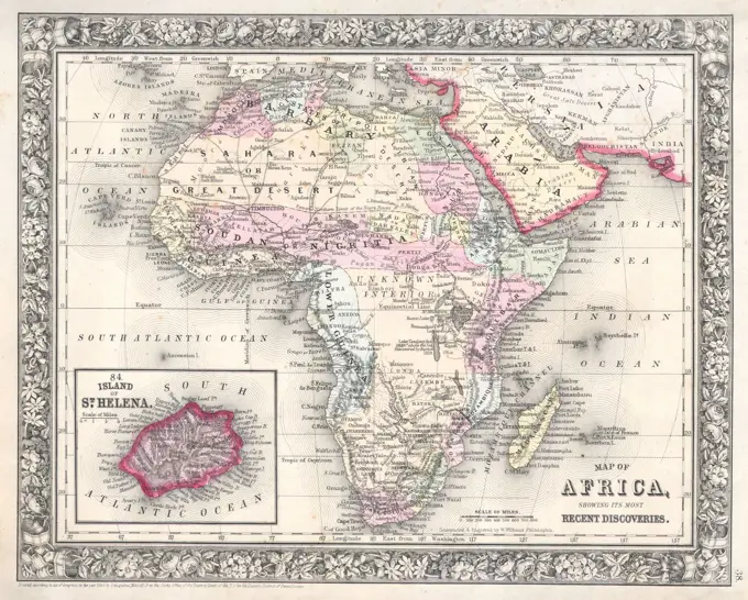
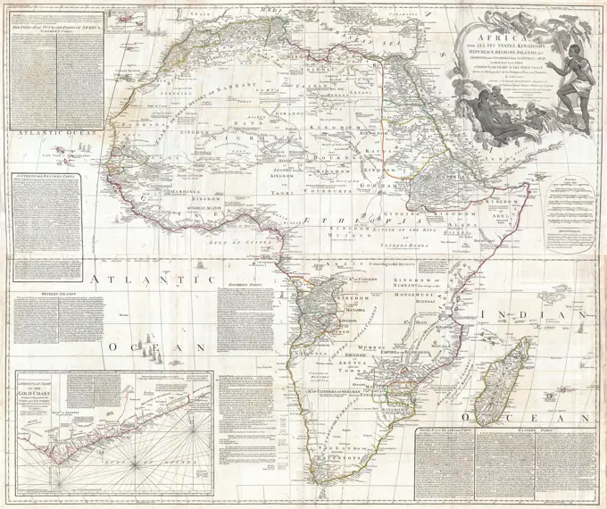
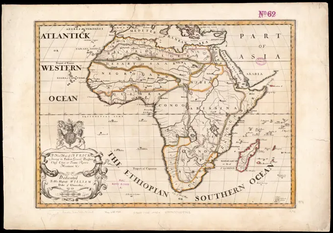
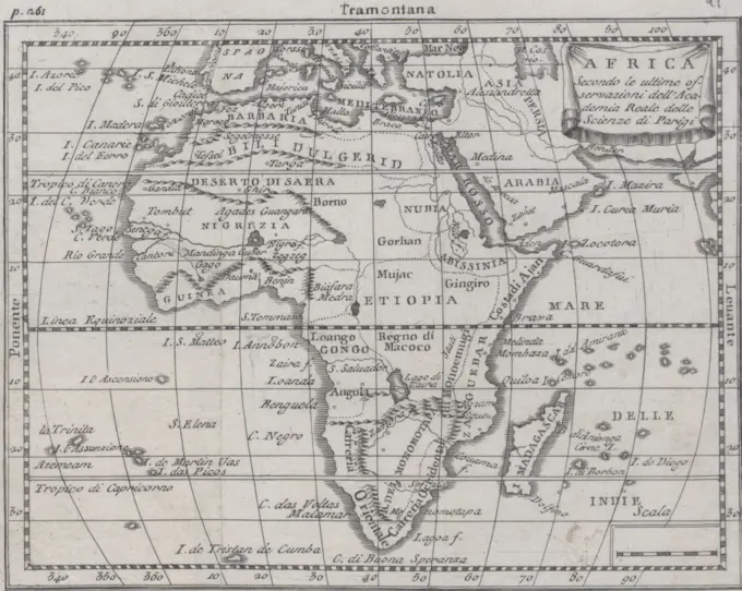
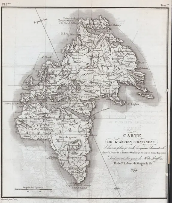
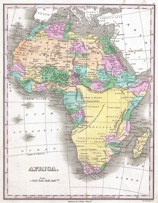
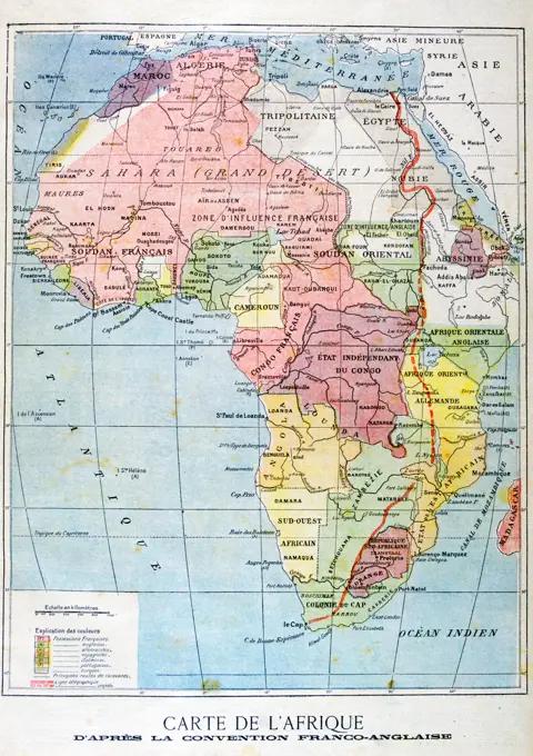
Early maps of Africa highlighting exploratory routes and political boundaries, adorned with decorative elements, illustrating cartographic history.

To the Right Honourable Charles, Earl of Peterborow, and Monmouth, &c. this map of Africa, according to ye newest and most exact observations is most humbly dedicated. Prime meridians: London and Ferro. Relief shown pictorially. Insets: Cape Coast Castle on ye gold coast of Guinea -- James Fort on the island of St. Helena -- Fort of Good Hope -- A prospect of the Cape of Good Hope. Philip Overton's name has been erased and Robert Sayer's printed over. The premises passed to Sayer in 1748. Appears in Moll's The world described, 1709-1736, plate 6... This map of Africa Africa. This map of Africa Africa, Africa Africa