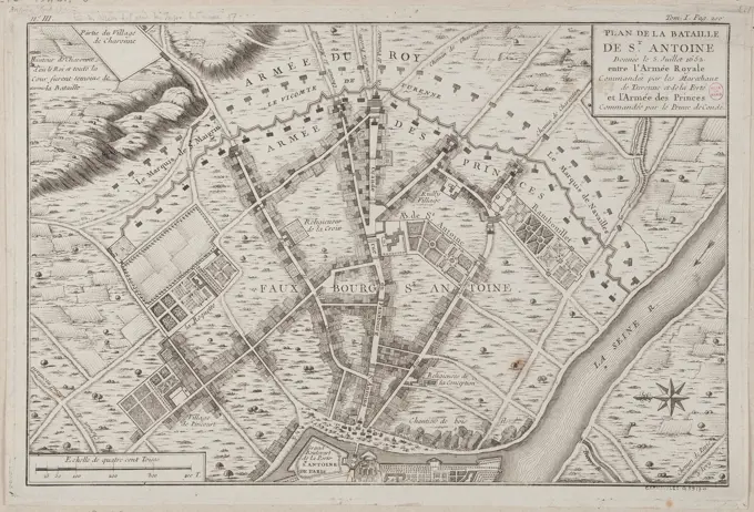
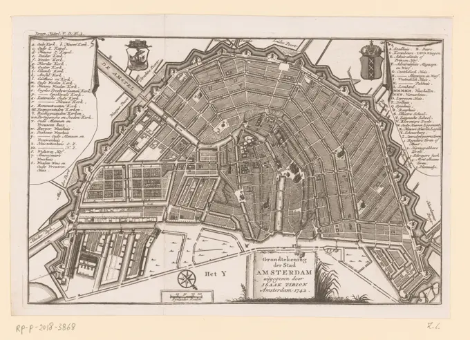
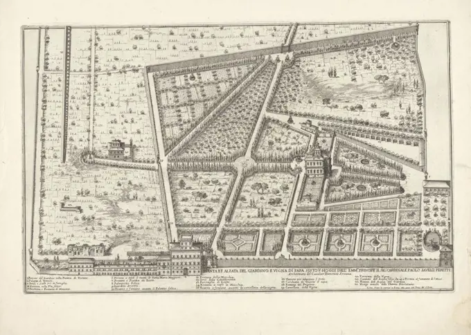
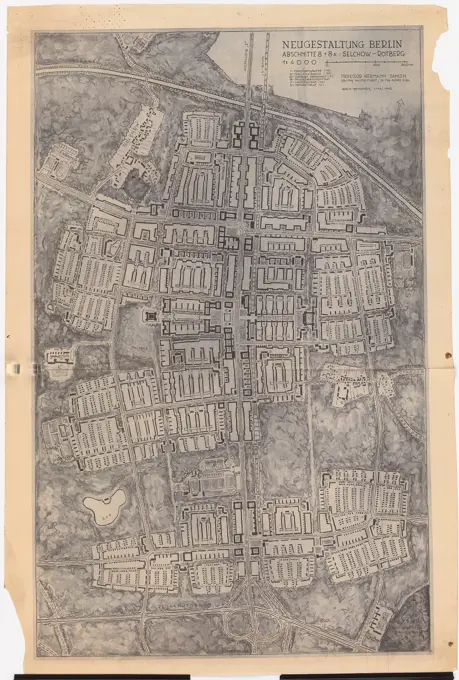
Antique Maps of European Battlefields
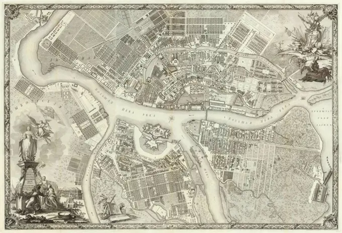
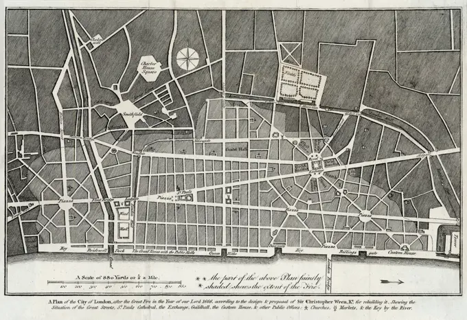
Detailed etchings showcasing historical battle maps and urban layouts in Europe, highlighting military strategies and city planning from the 17th to 18th centuries.

Detailed etchings showcasing historical battle maps and urban layouts in Europe, highlighting military strategies and city planning from the 17th to 18th centuries.