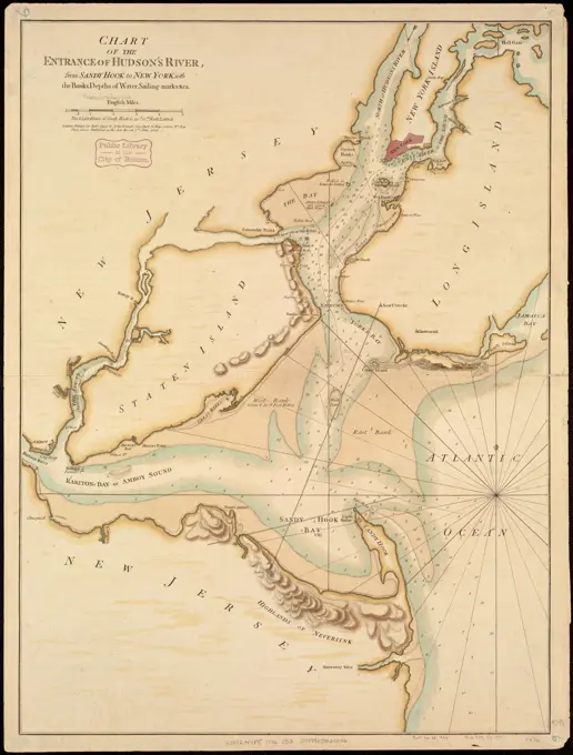
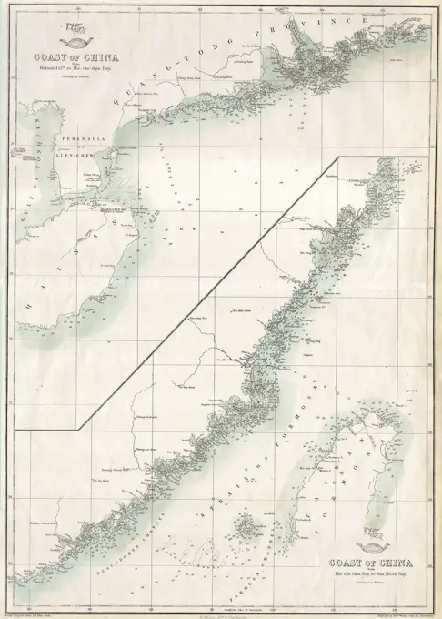
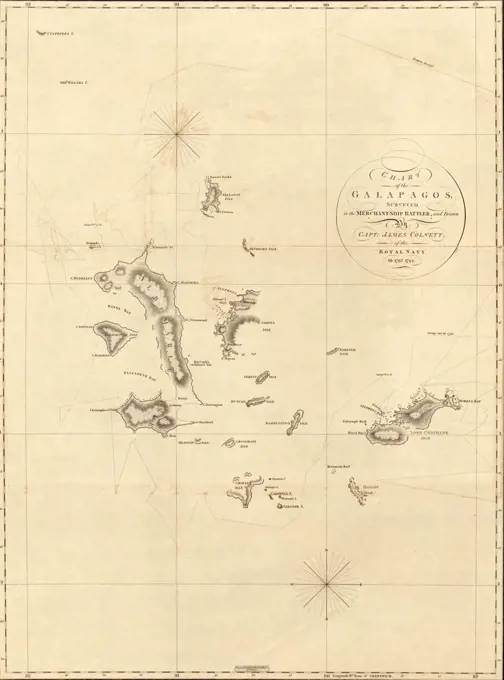
Antique Maps of Massachusetts

Detailed maps of regions in Massachusetts, showcasing historical landmarks and geographical features, created by different cartographers in the early 19th century.

Falmouth Harbour. Title from published bibliography. Relief shown by hachures. Depths shown by soundings. Appears in the author's Atlantic Neptune. London : J.F.W. Des Barres, 1777-1781.. The town of Falmouth (present-day Portland, Me.) was the most important supplier of forest products in the British Empire before the American Revolutionary War. Falmouth's large harbor was well protected, was easily defendable and was adjacent to vast forests of white pine, all of which contributed to the town's commercial success. This 1777 chart of the region is the first state, or edition of the map, and it details the harbor islands, as well as inland topography, roads and settlements. By the dawn of the Revolutionary War, Britain was dependent on wood produced in the colonies, and Falmouth was a key component of the extensive lumber trade... , Maine  , Cumberland  ,county   , Portland Harbor
Falmouth Harbour. Title from published bibliography. Relief shown by hachures. Depths shown by soundings. Appears in the author's Atlantic Neptune. London : J.F.W. Des Barres, 1777-1781.. The town of Falmouth (present-day Portland, Me.) was the most important supplier of forest products in the British Empire before the American Revolutionary War. Falmouth's large harbor was well protected, was easily defendable and was adjacent to vast forests of white pine, all of which contributed to the town's commercial success. This 1777 chart of the region is the first state, or edition of the map, and it details the harbor islands, as well as inland topography, roads and settlements. By the dawn of the Revolutionary War, Britain was dependent on wood produced in the colonies, and Falmouth was a key component of the extensive lumber trade... , Maine , Cumberland ,county , Portland Harbor