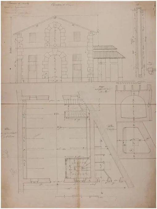
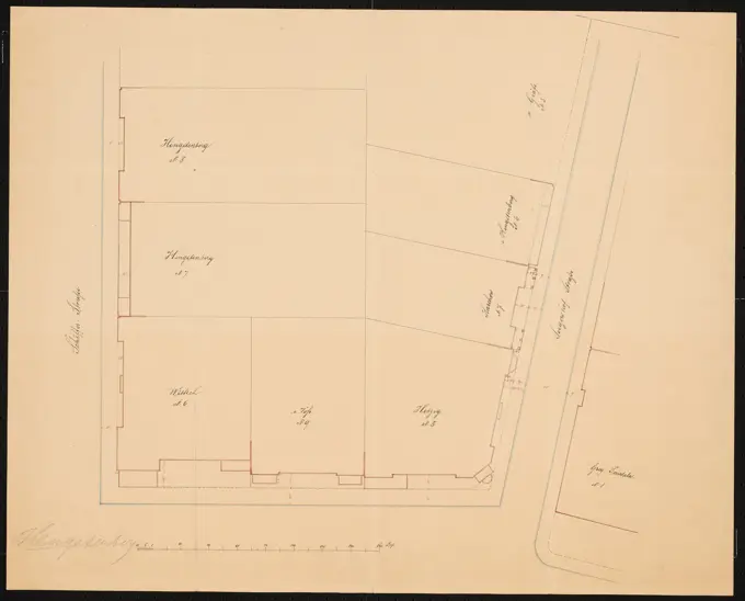
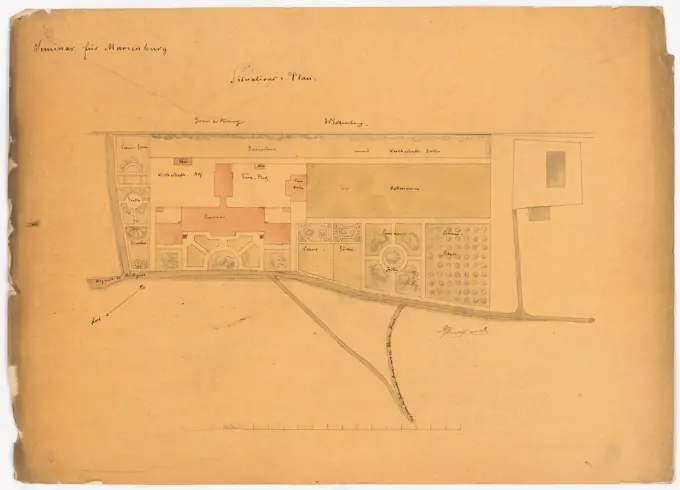
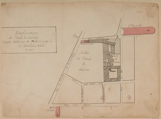
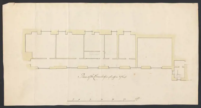
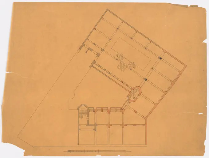
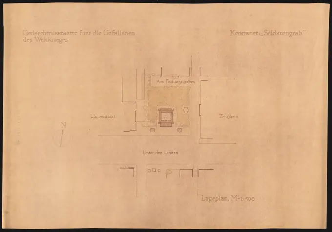
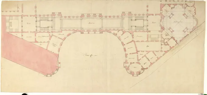
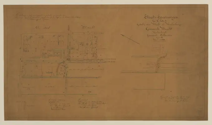
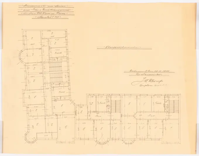
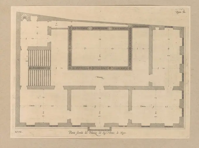
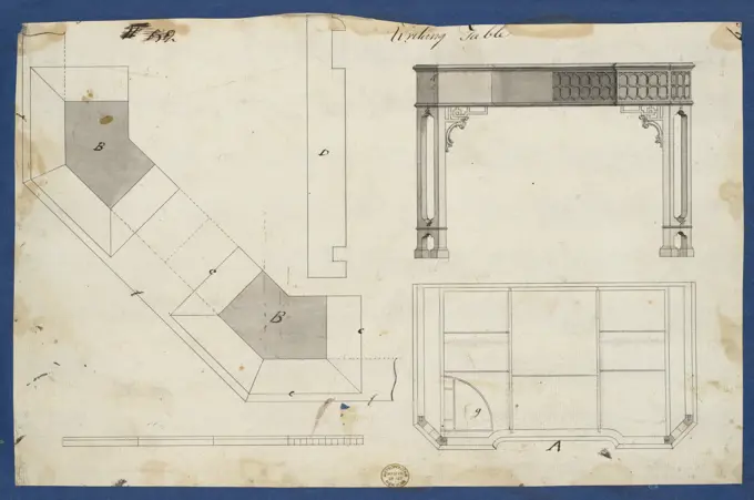
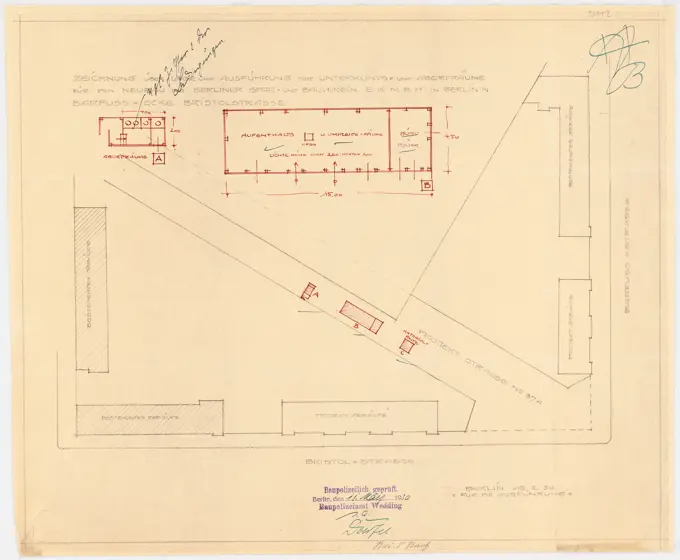
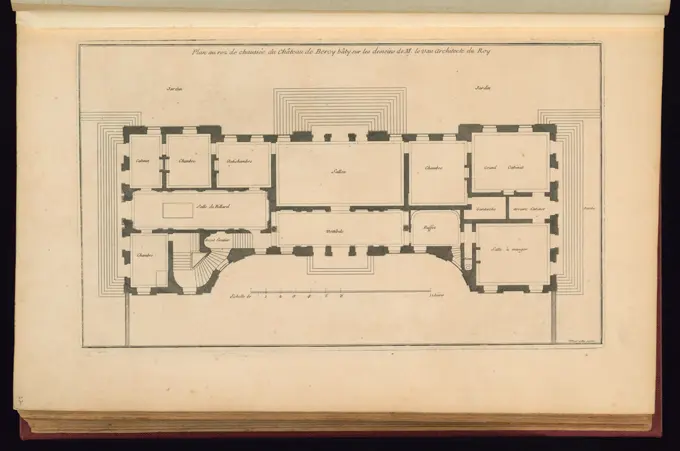
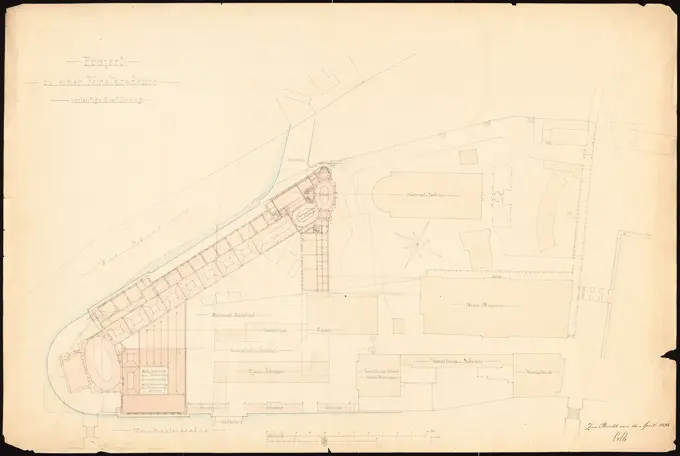
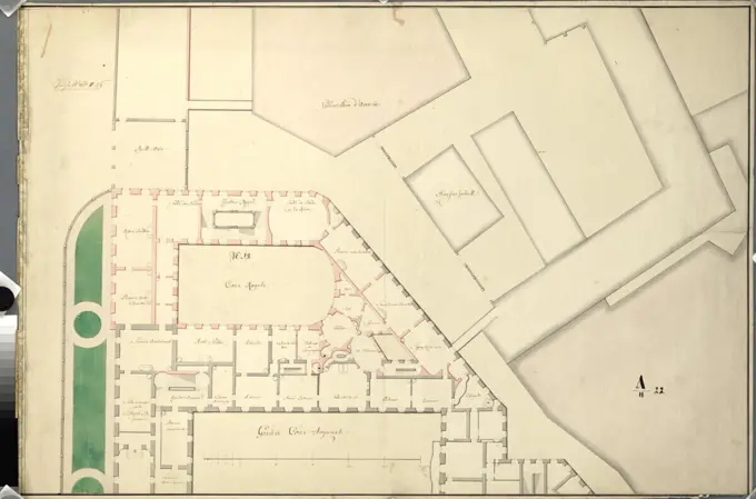
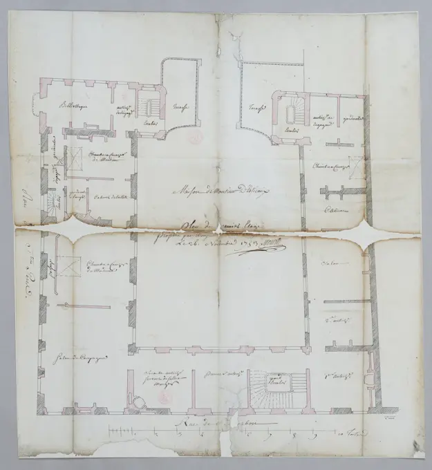
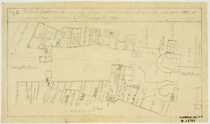
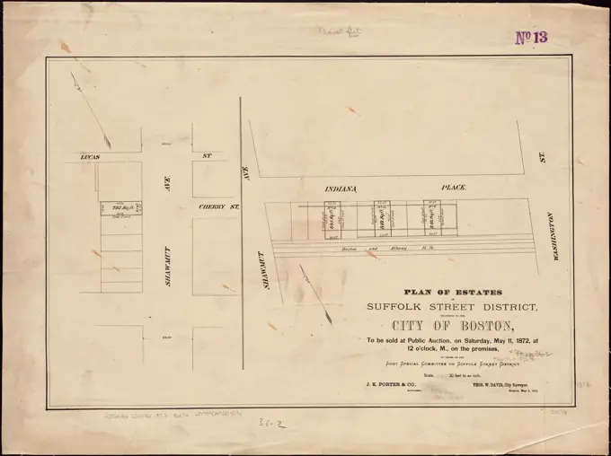
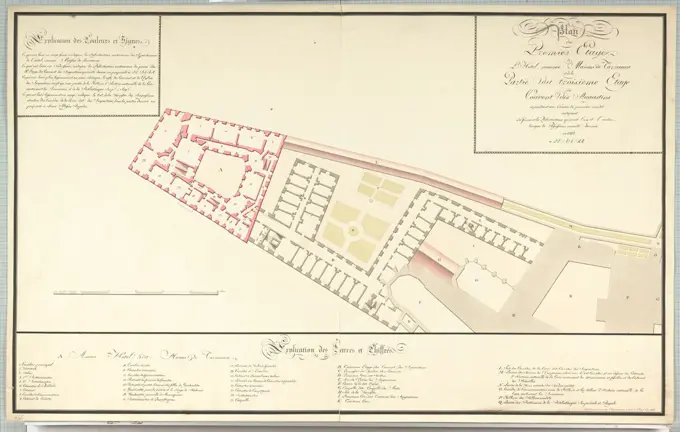
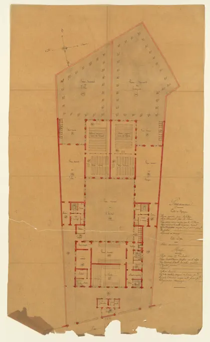
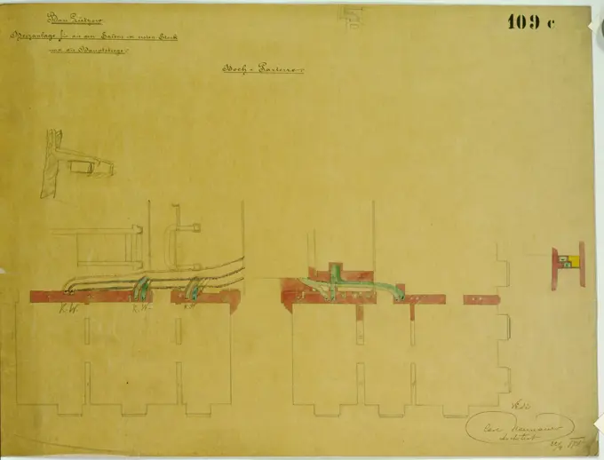
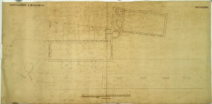
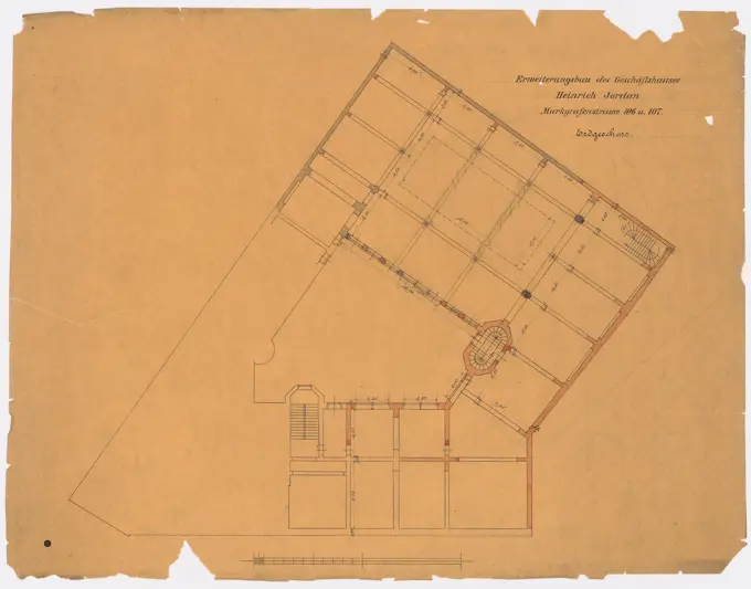
Architectural Plans and Diagrams

Blueprints and diagrams of historical buildings, showcasing detailed designs for ministry buildings, garden cities, and machinery from various periods.

Cartographic, Maps. 1907. Lionel Pincus and Princess Firyal Map Division Queens, Vol. 1, Double Page Plate No. 21; Part of Ward 4; Map bounded by Metropolis Ave., Mill St., Vansicklen Ave., Sutter Ave., Chestnut St.; Including Metropolis Ave., Grant Ave., Rockaway Plank Road, Clinton Ave.; Sub Plan From Plate No. 17; Map bounded by Priscilla Ave., South Curtis Ave., Conduit; Including Old South Road, Stoothoff Ave.