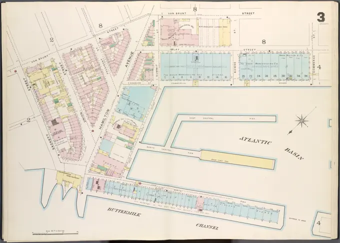
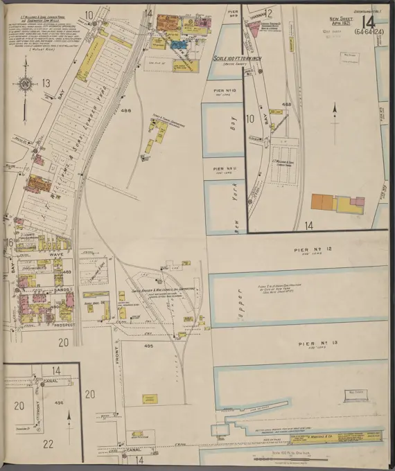
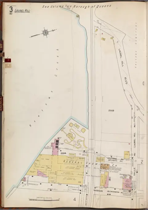
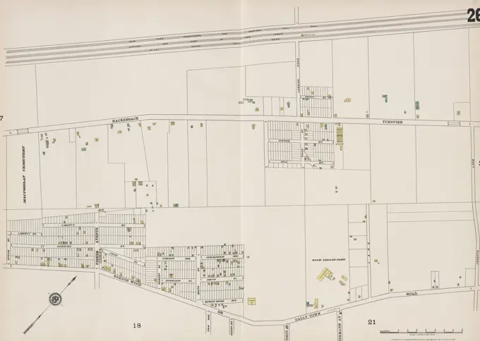
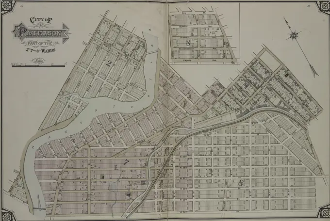
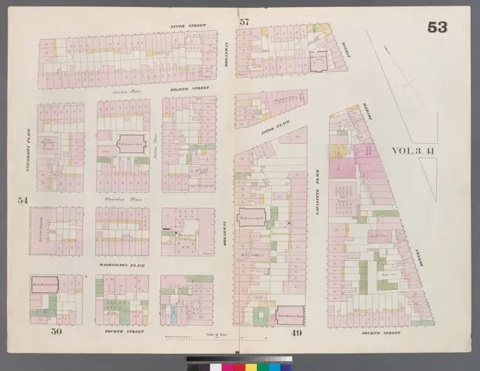
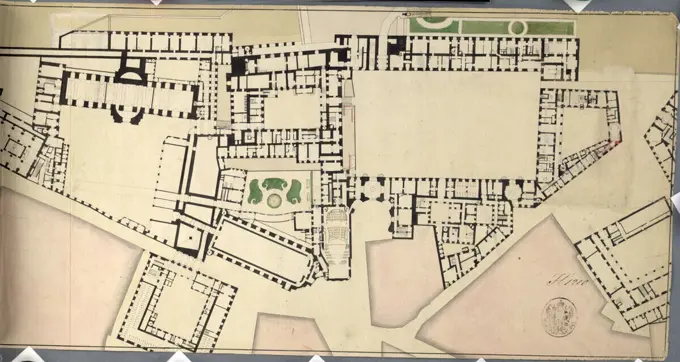
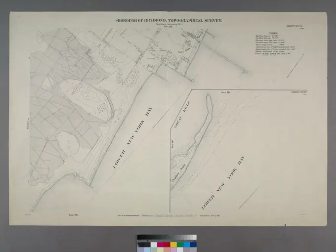
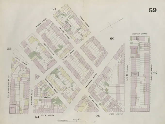
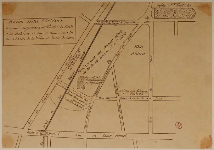
Cartographic Maps of Urban Areas
Detailed maps from various years showcasing urban layouts, property boundaries, and fire insurance assessments in New York and Brooklyn.

Detailed maps from various years showcasing urban layouts, property boundaries, and fire insurance assessments in New York and Brooklyn.