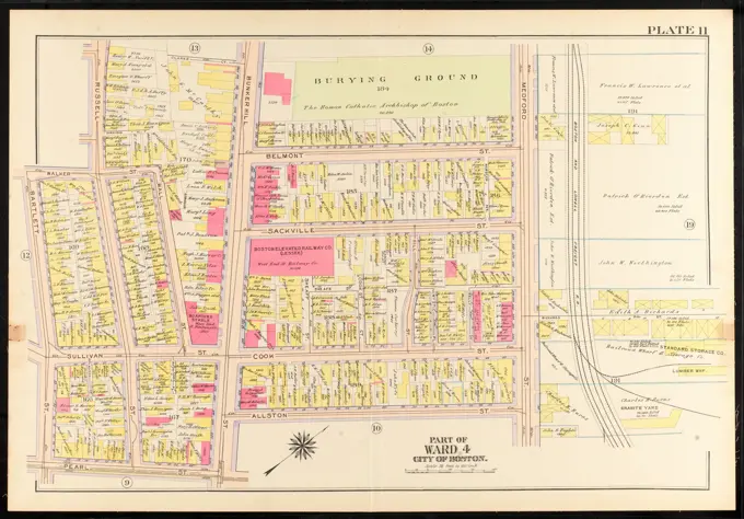
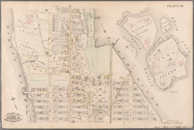
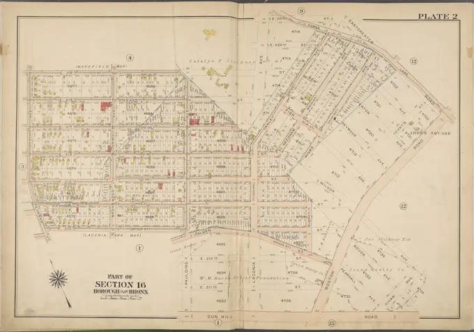
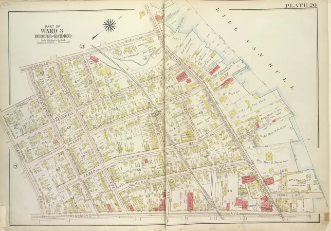
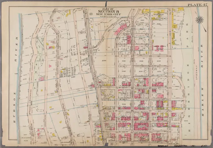
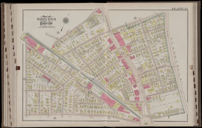
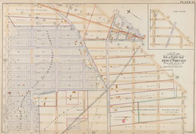
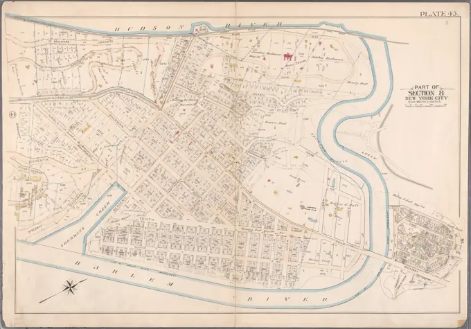
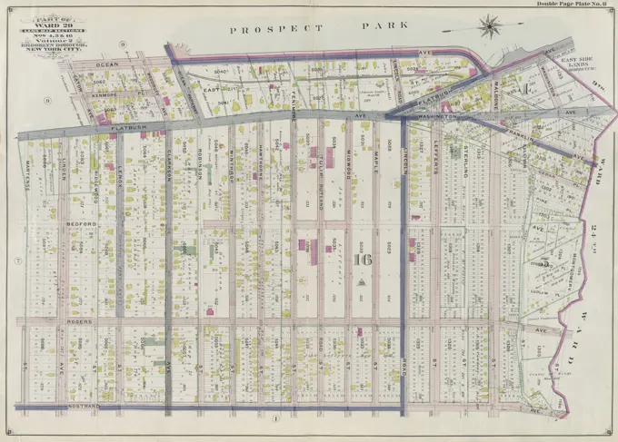
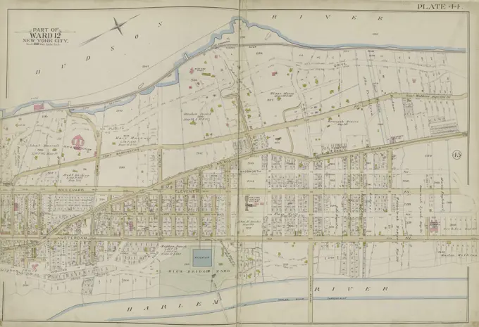
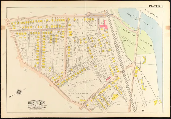
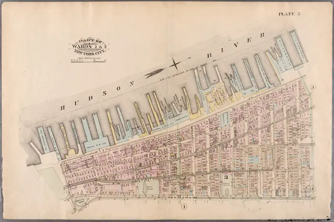
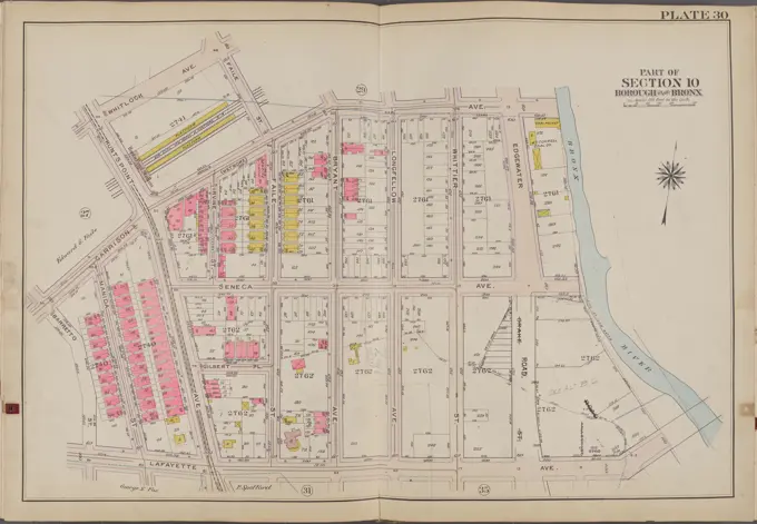
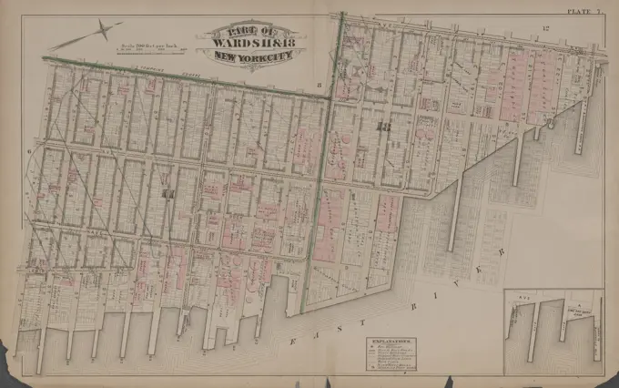
City Atlas Maps of Boston and Beyond

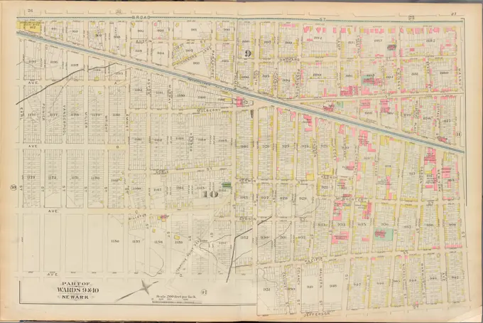
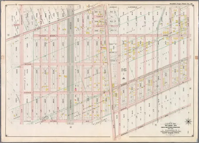
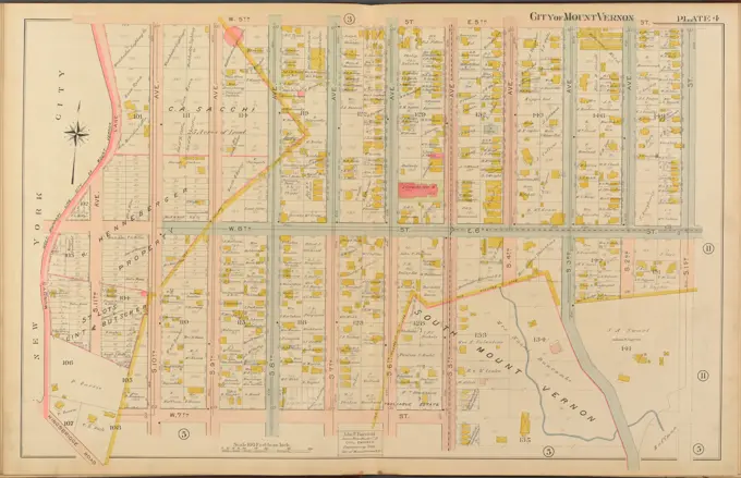
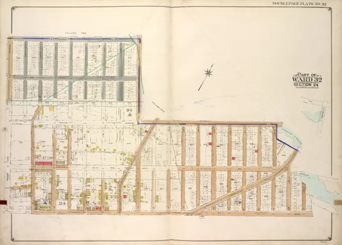
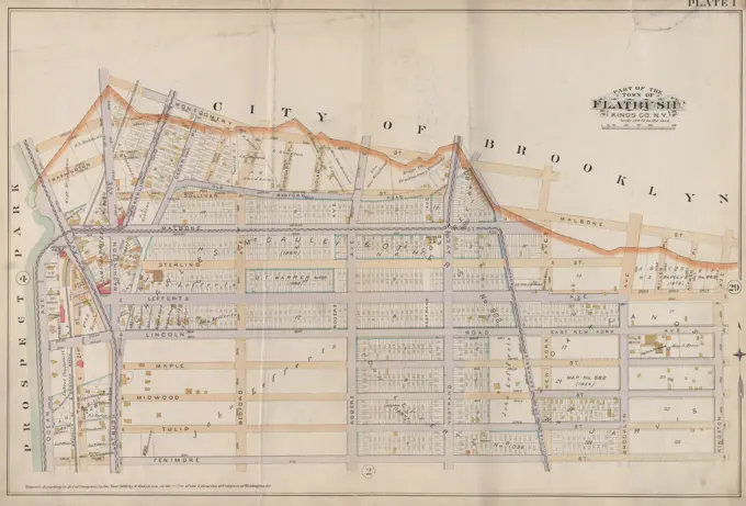
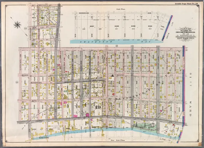
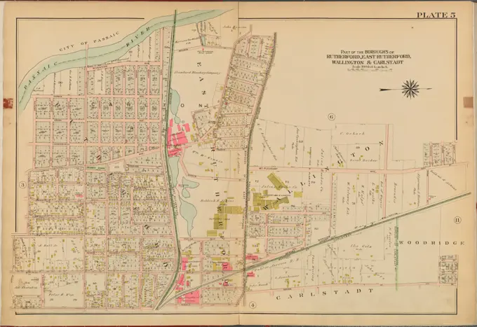
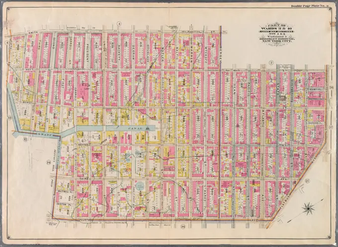
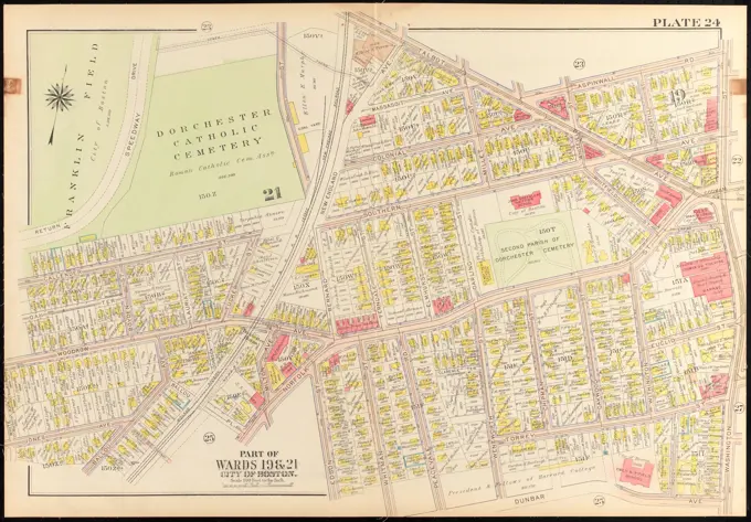
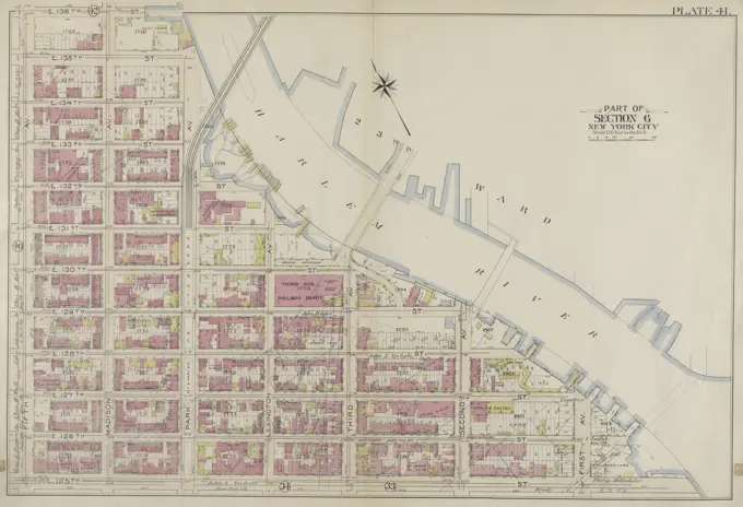
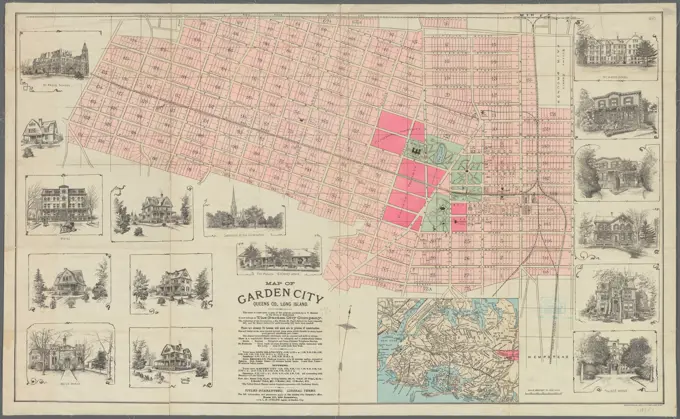
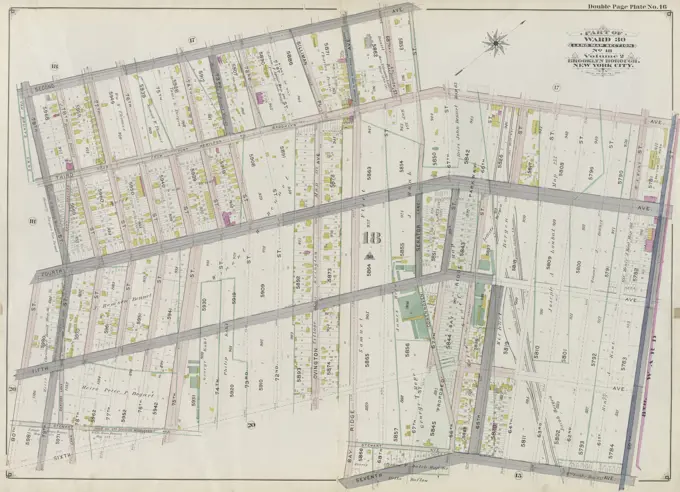
Detailed city atlas maps showcasing neighborhoods such as Dorchester and Long Island City, highlighting real estate and land ownership from the early 20th century.

Cartographic, Maps. 1899. Lionel Pincus and Princess Firyal Map Division. Brooklyn (New York, N.Y.), Real property , New York (State) , New York Double Page Plate No. 19: Bounded by Avenue K, E. 53rd St., Avenue O, Flatbush Ave., Avenue Q, E. 36th St., Avenue P, E. 31st St., Flatlands Ave. and E. 32nd St. Part of Ward 32, Land Map Section, No. 23, Volume 3, Brooklyn Borough, New York City