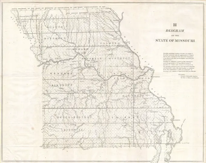
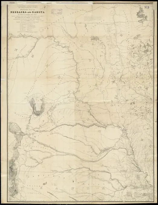
County Maps of the United States

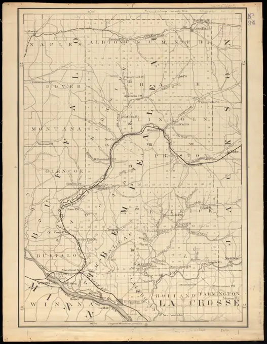
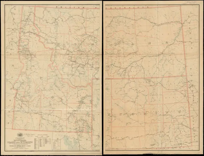
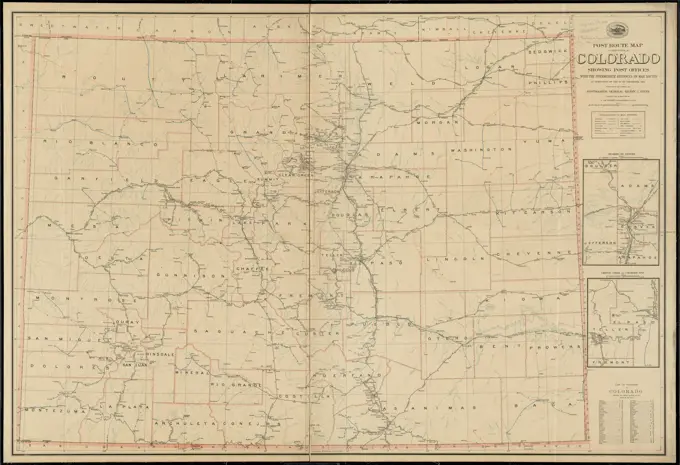
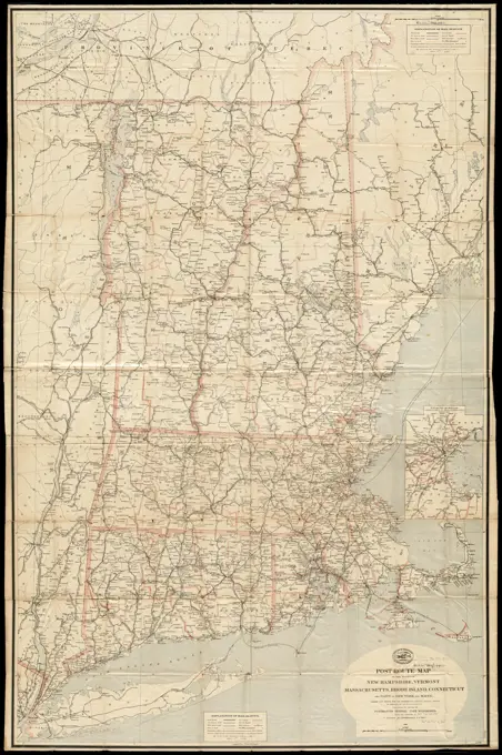
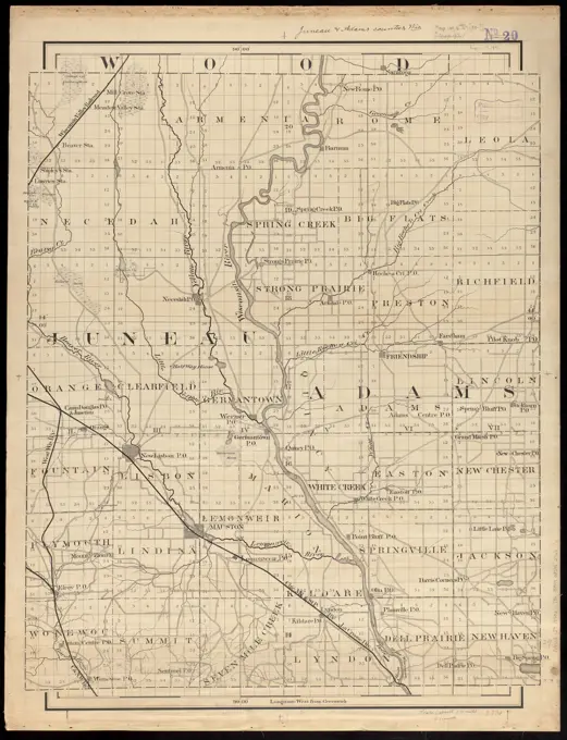
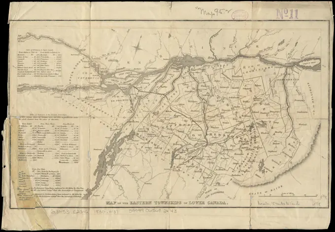
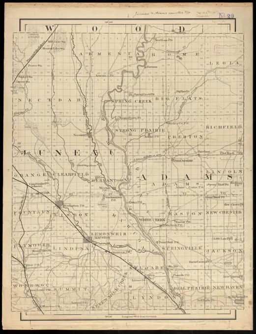
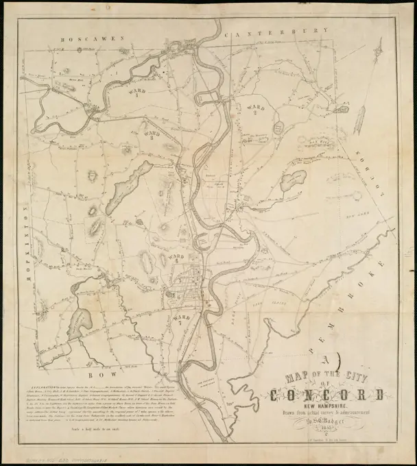
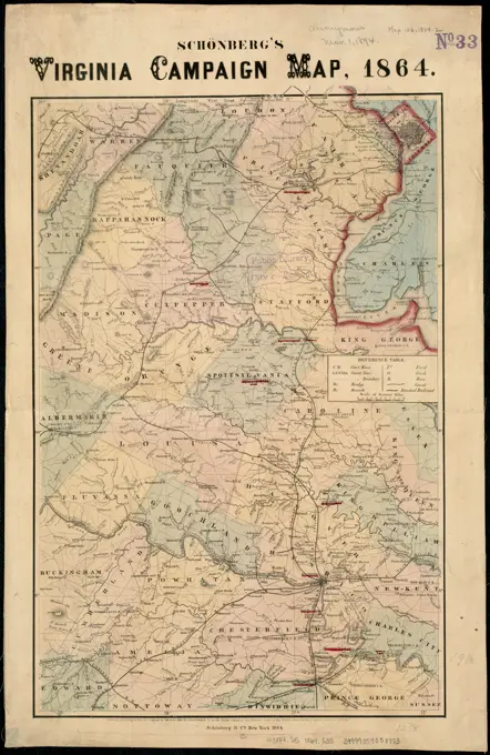
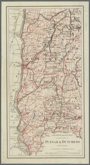
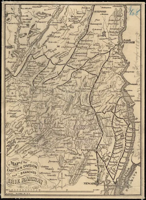
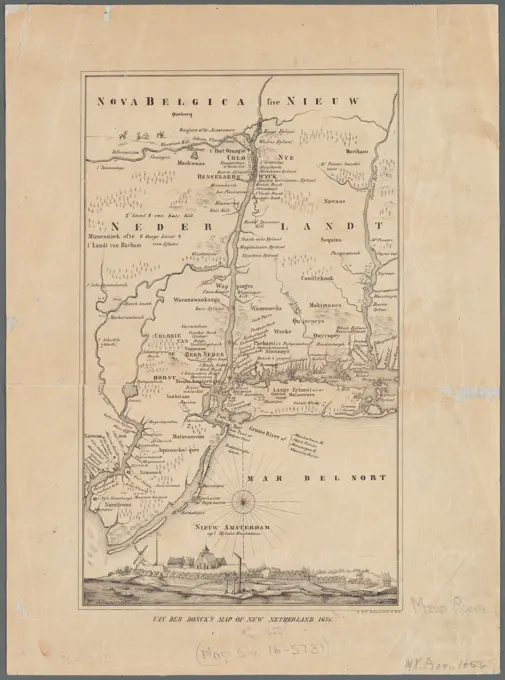
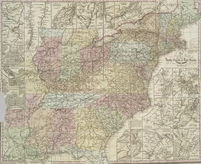
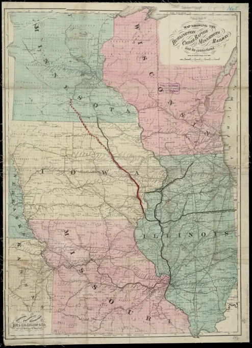
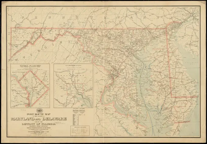
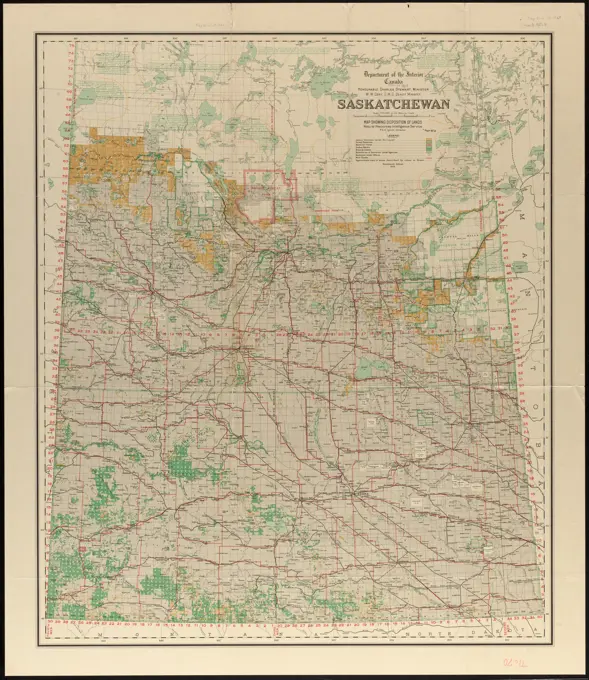
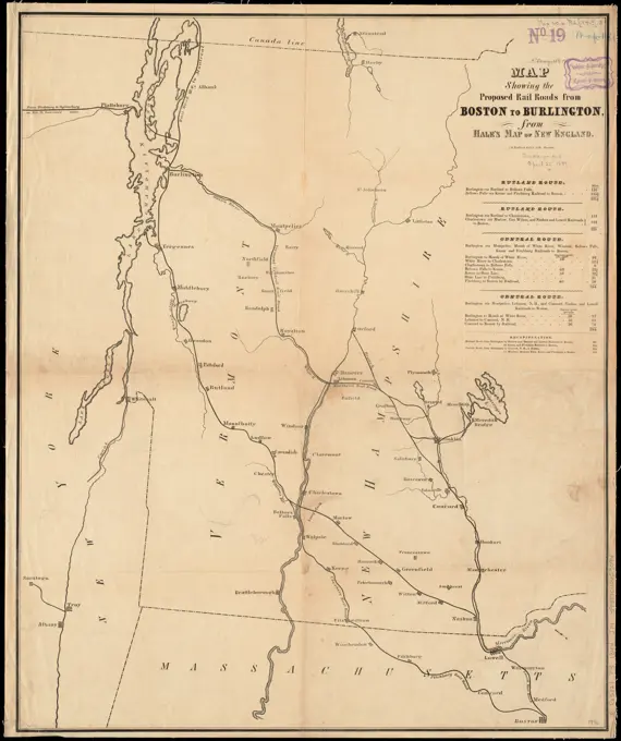
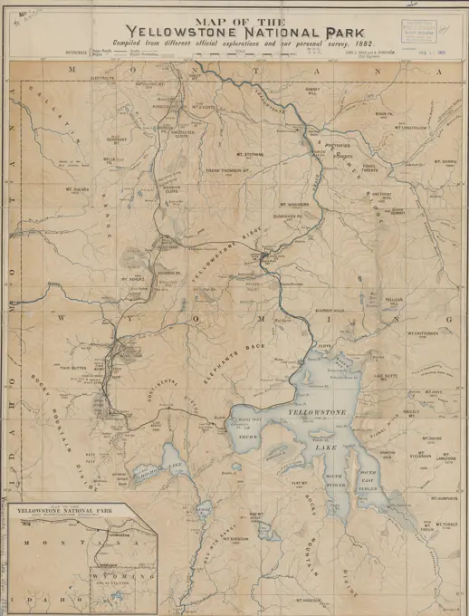
Historic maps showcasing regions in Wisconsin and New York, highlighting towns, counties, and postal routes, providing detailed layouts of land and property during the 19th century.

Map of Yellowstone National Park, issued by the Northern Pacific Railroad Company in 1882. The map measures 56 x 46 cm and is designed to be folded to 21 x 10 cm. It features color illustrations and is associated with national parks and reserves in Wyoming, United States. The NYPL Map Division copy is imperfect, with a portion of the margin trimmed and some text information lacking on the verso title. The place of publication is inferred to be St. Paul, Minnesota