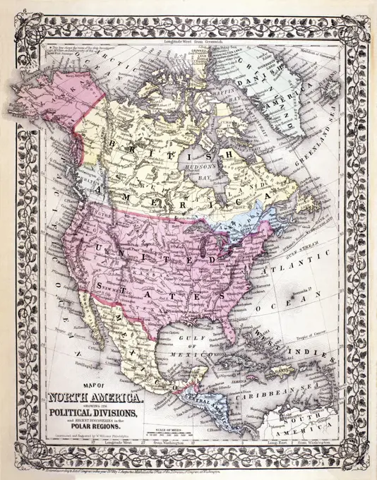
Early American Maps CollectionMaps depicting North America and its territories, featuring detailed geographic and political features from the 18th and early 19th centuries. North America 1806 Maps 188 assets in this story1889-604218226145-513879846145-513918726145-559563236145-290968246145-559178866145-545504361047-1814443-17794408-64716145-513970794048-54576145-487197124443-754712066145-290959176145-290965721899-202252036145-505717326145-505712886145-290949356145-487196426145-513947216145-559155941788-366381899-187958574220-218564046145-290962446145-559177674443-754699156145-290964136145-513952054220-11166145-559173116145-487175811047-1546176-669053746145-542680226145-505602696145-513953171899-202268316145-545485184443-754682936145-588418444409-173673796145-505544881899-202250866145-559142701838-217374046145-542692636145-505729156145-542696306145-505687986145-290948566145-545485634409-172679486145-559156836145-486749686145-290961896176-669149974409-181875786145-528984556145-505197576145-513880076145-505544896145-290967944443-754646276145-513881404409-1375984409-172679536145-505712856145-290947296145-290949956145-454080304409-208855876145-505544906145-559563506145-505683686145-290965641899-191885136176-619040244048-50476145-505239651788-357571047-1846145-487175651788-384626145-513891146145-52230752 PREVIOUS of 2 NEXT