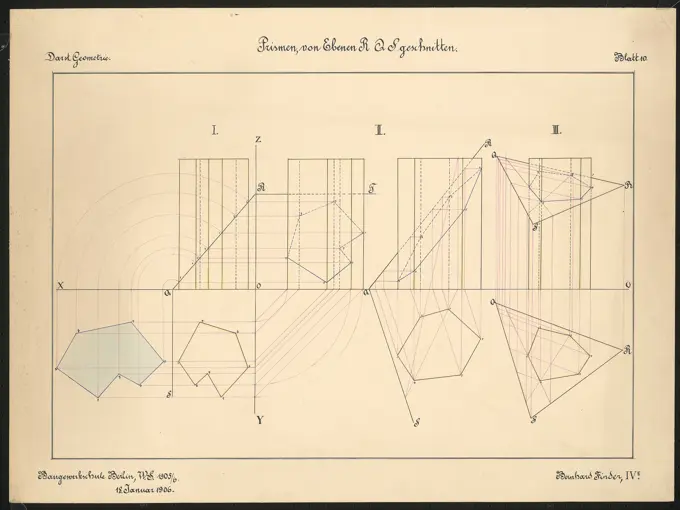
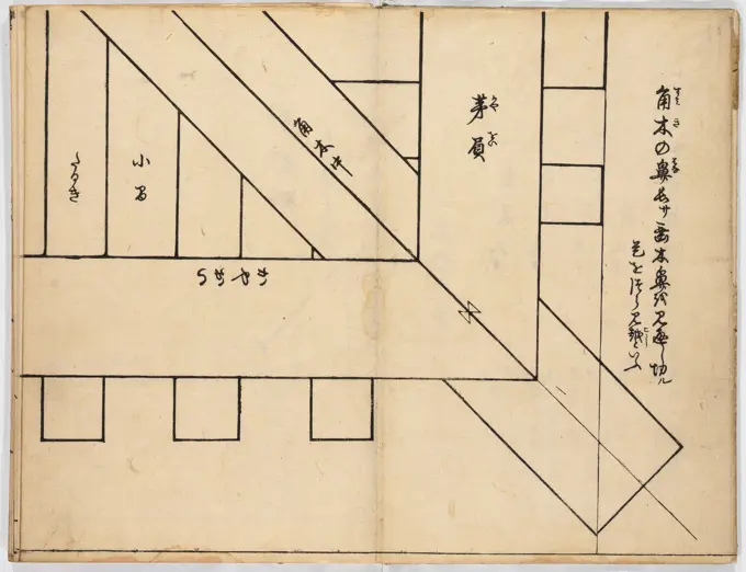
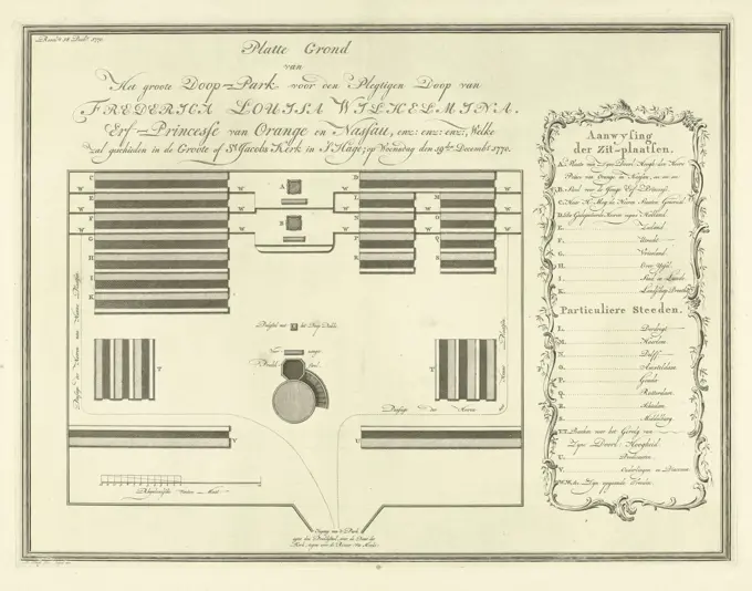
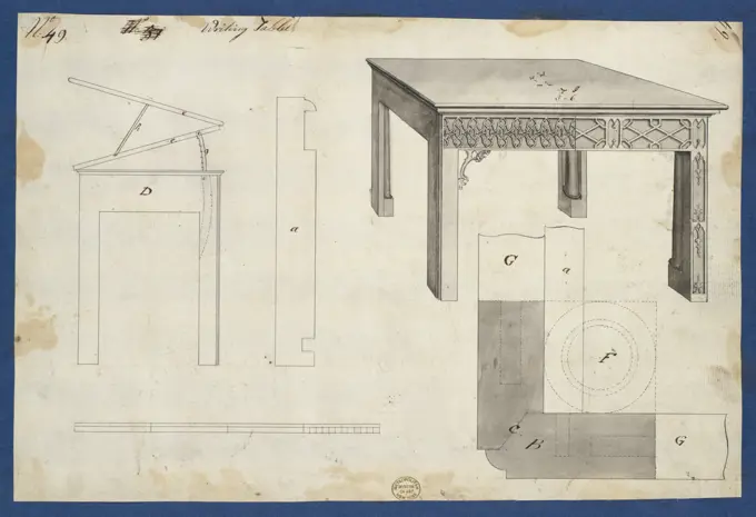
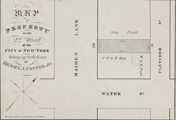
Early Architectural Plans
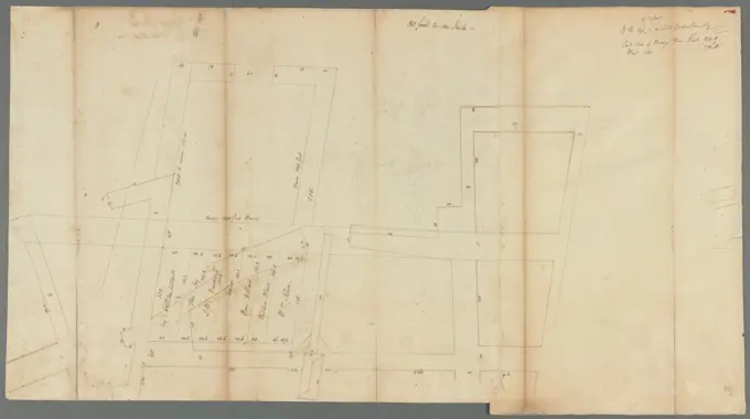
Cartographic drawings and floor plans from the 17th to 19th centuries, illustrating street layouts and buildings with detailed annotations. Great Dock - original protraction 1680 - 1710. Cartographic. Maps, Surveys, land surveys. Manuscripts and Archives Division 243 assets in this story6145-461852066145-484939564409-174592156145-484513046145-485008286145-292060636145-484932696145-595055586145-484881466145-484456006145-559550936145-519401056145-519401246145-484882736145-519399474443-732384736145-303219696145-426324886145-291456574443-754666926145-513786136145-485002056145-519398756145-484536004409-173983904443-217566276145-484533206145-298475236145-596184206145-484505626145-545711266145-484879976145-529636466145-484771256145-528346466145-291457046145-528291586145-592678184409-174267546145-591434606145-484526826145-519400666145-52833573 PREVIOUS of 3 NEXT