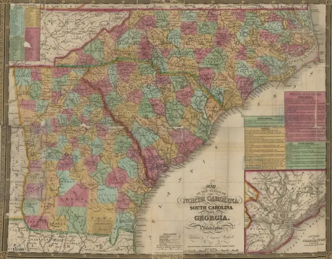
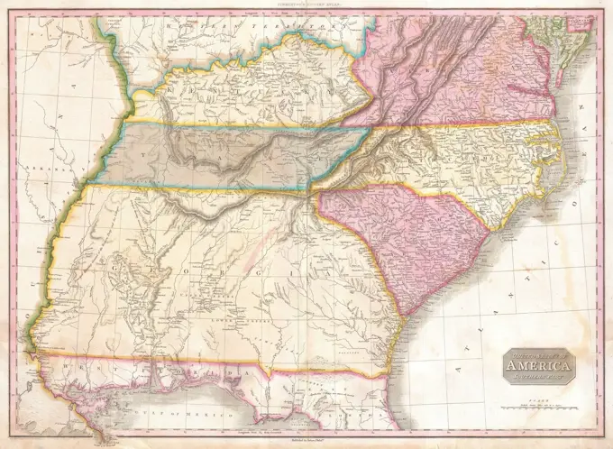
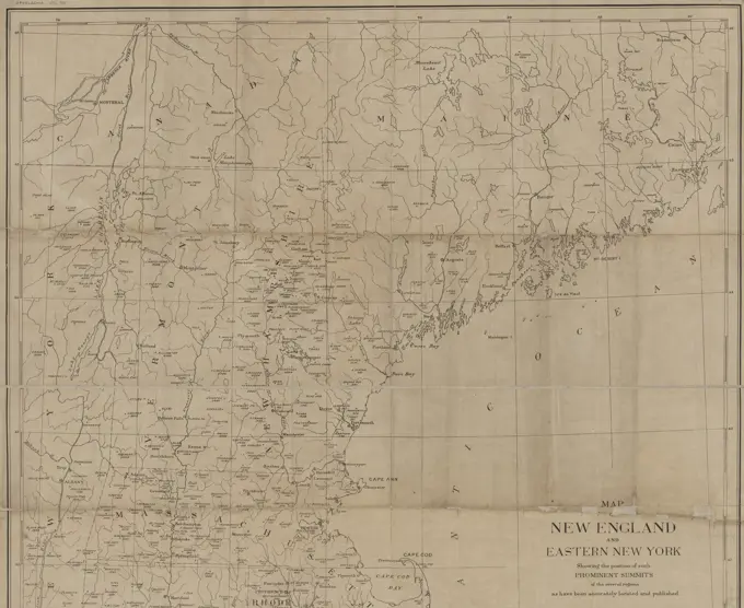
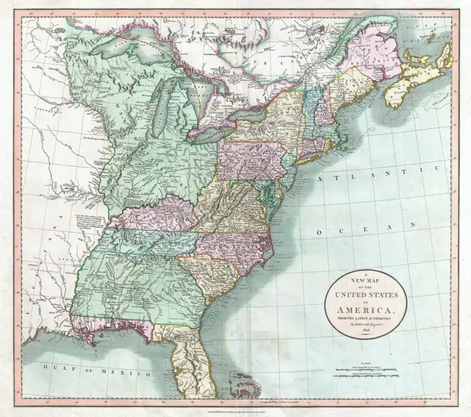
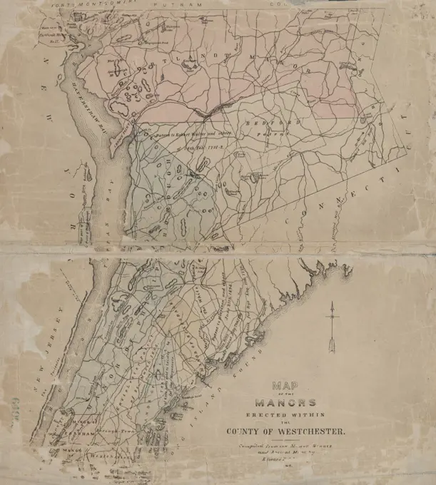
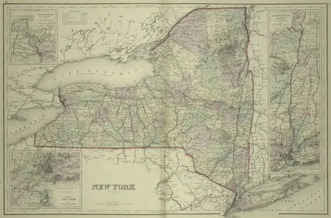
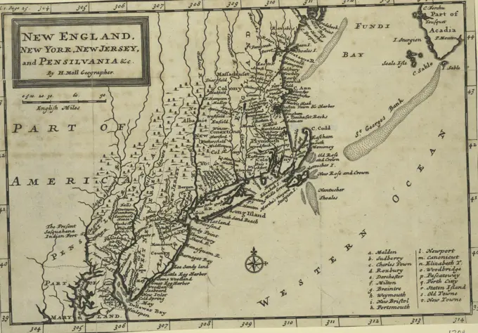
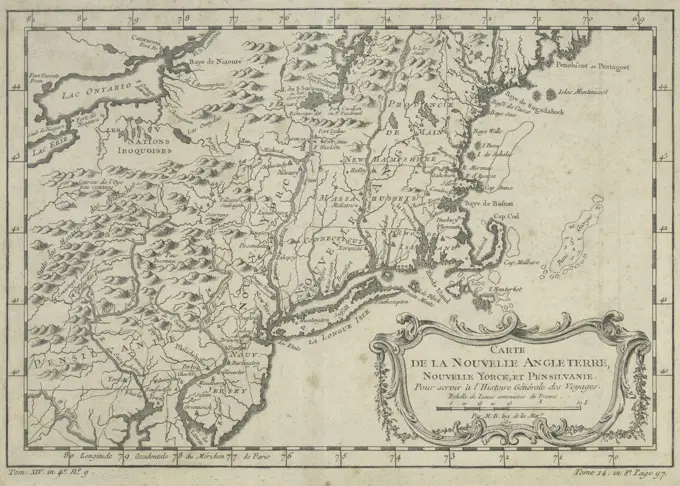
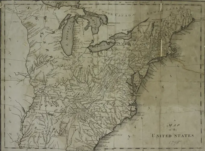
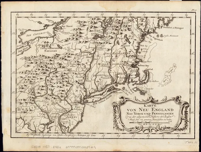
Early Maps of North America
Hand-colored maps from the 18th century showcasing colonial territories, rivers, and geographic annotations from early American exploration.

Hand-colored maps from the 18th century showcasing colonial territories, rivers, and geographic annotations from early American exploration.