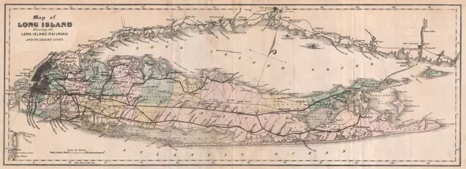
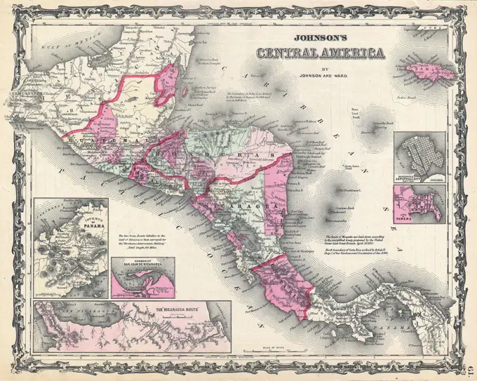
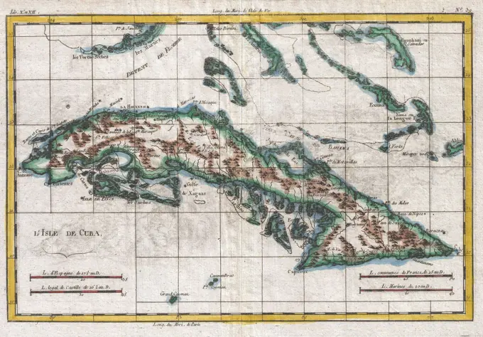
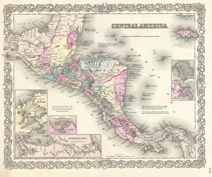
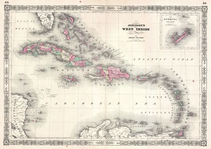
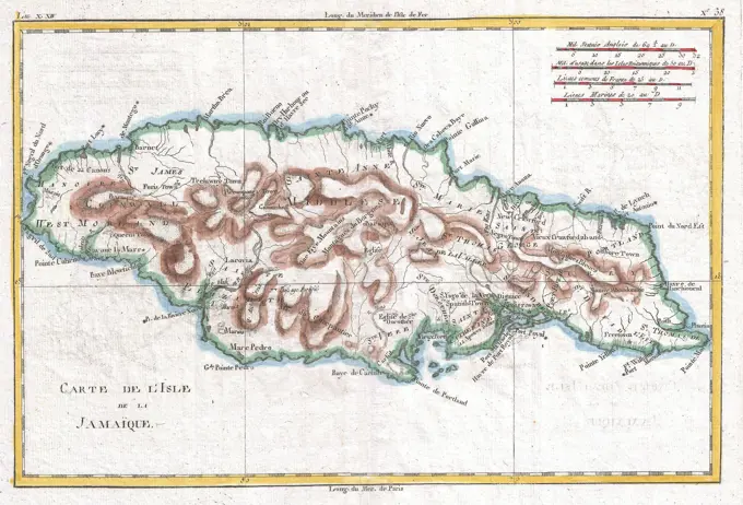
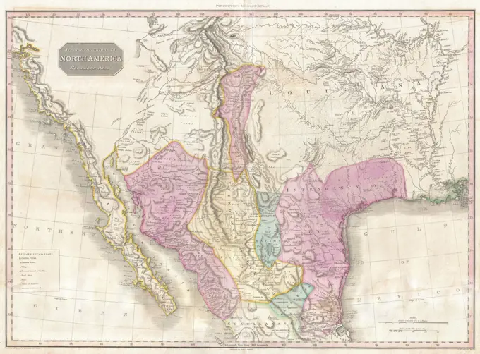
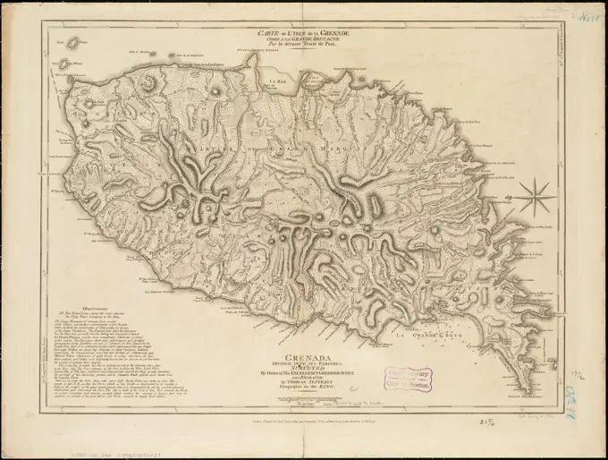
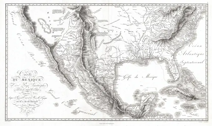
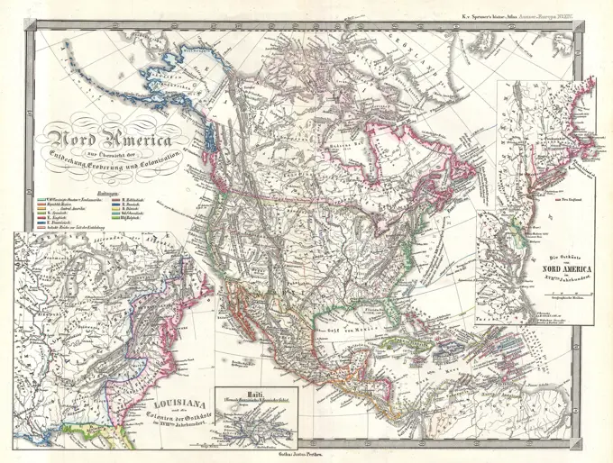
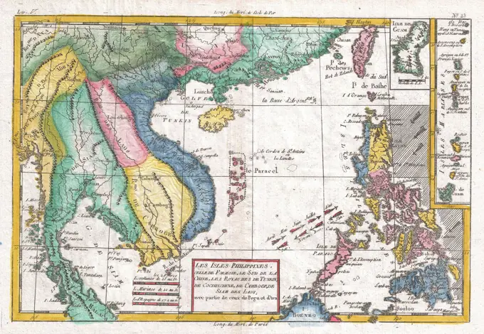
Early Maps of the Americas
Antique maps illustrating North and South America, including early cartographic details, routes, and geographic features from the 17th to 19th centuries.

Antique maps illustrating North and South America, including early cartographic details, routes, and geographic features from the 17th to 19th centuries.