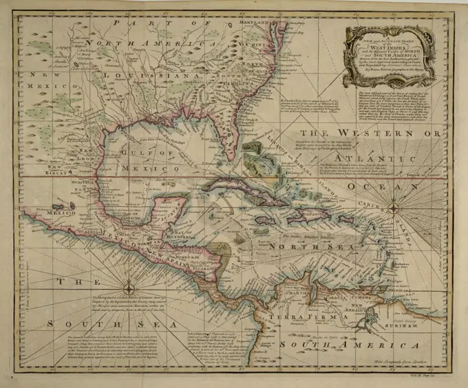
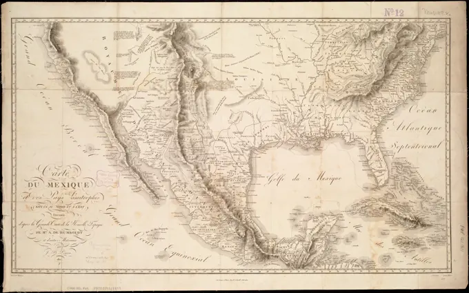
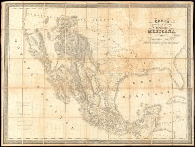
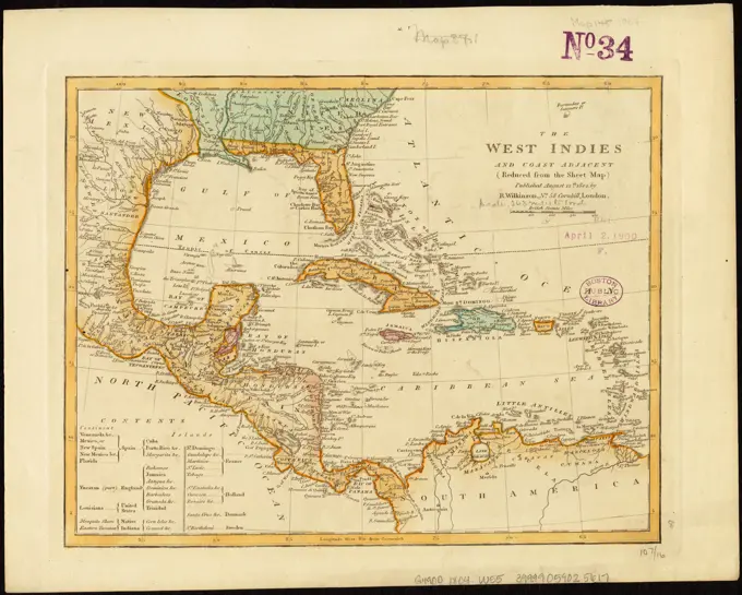
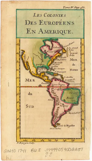
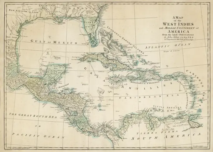
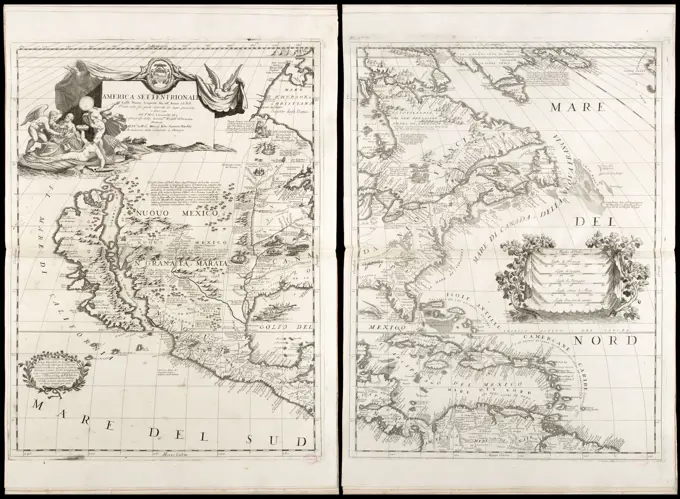
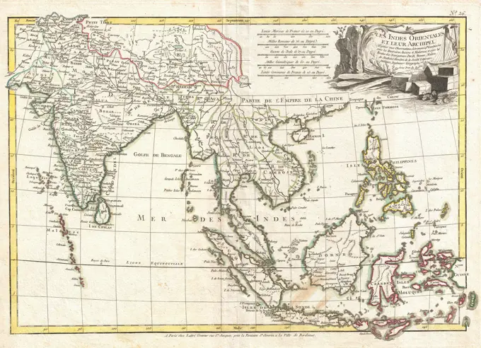
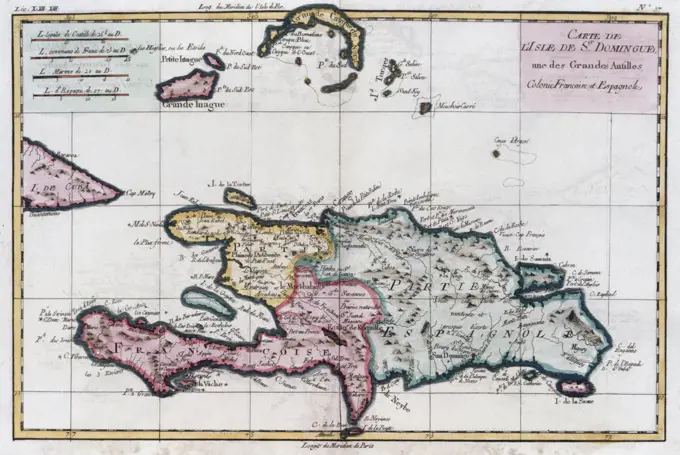
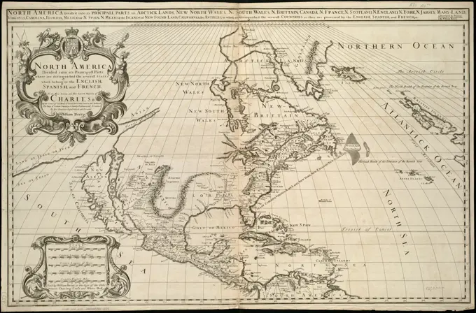
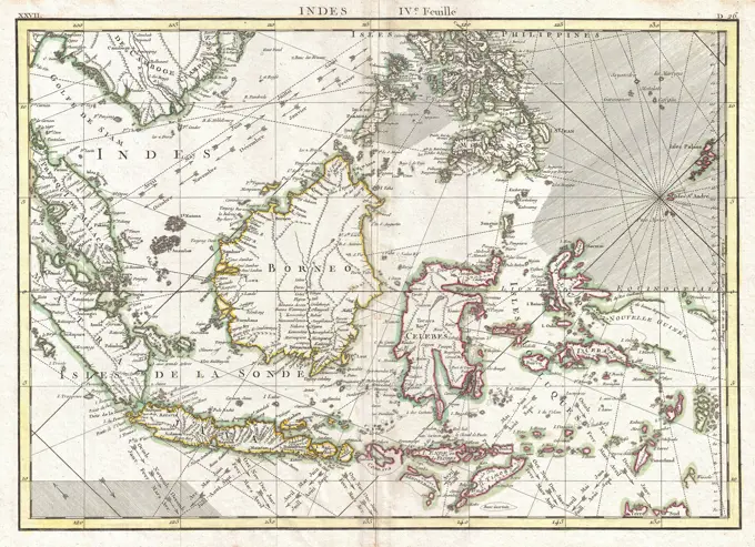
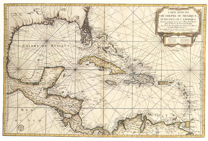
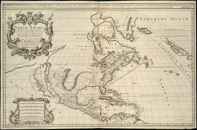
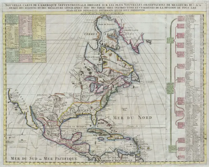
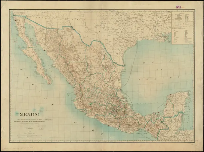
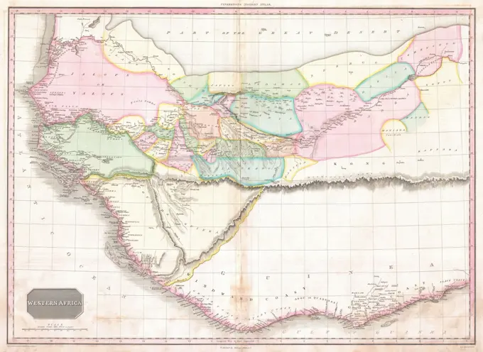
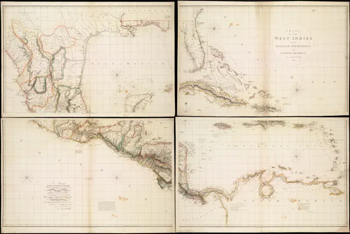
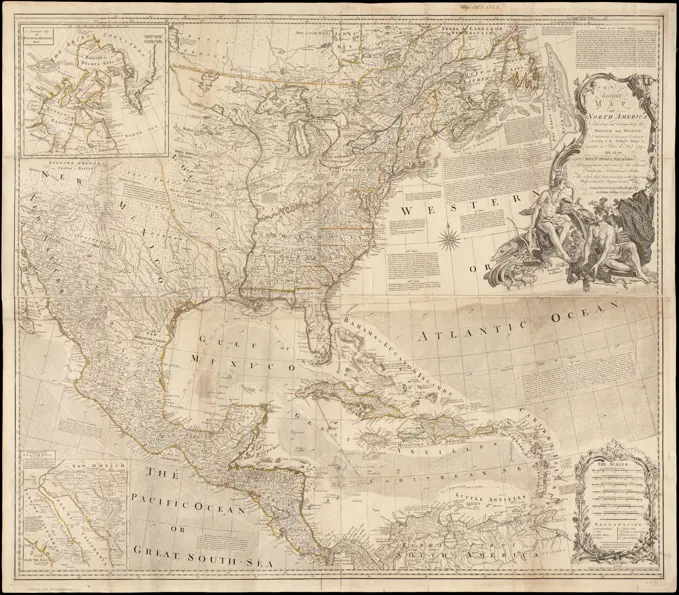
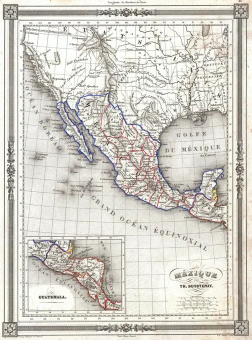
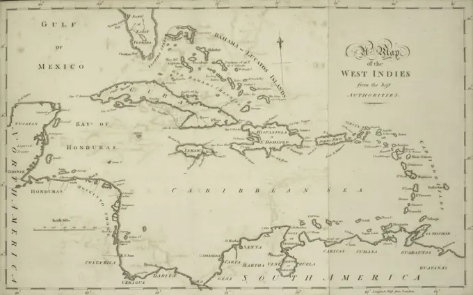
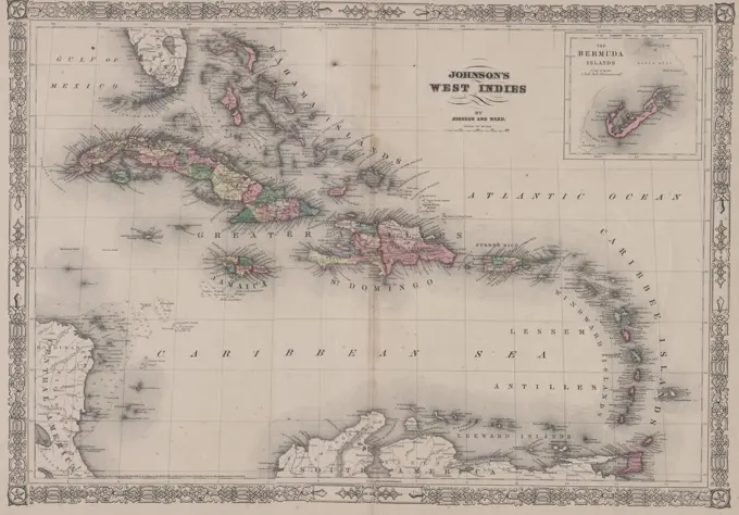
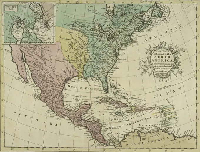
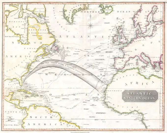
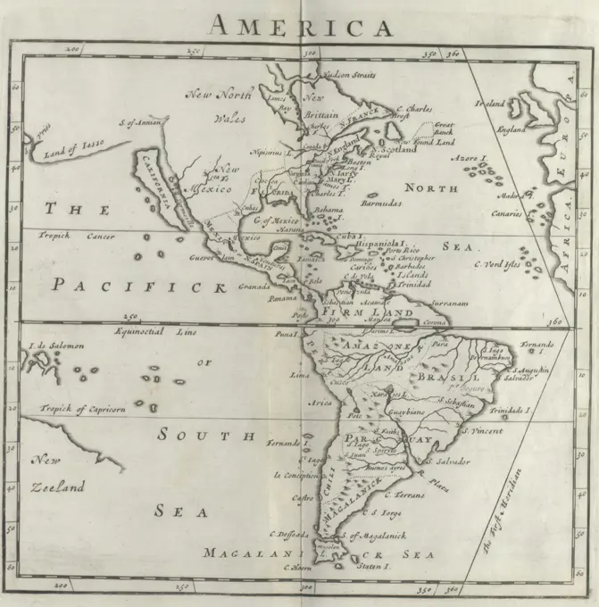
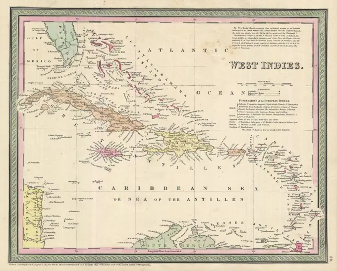
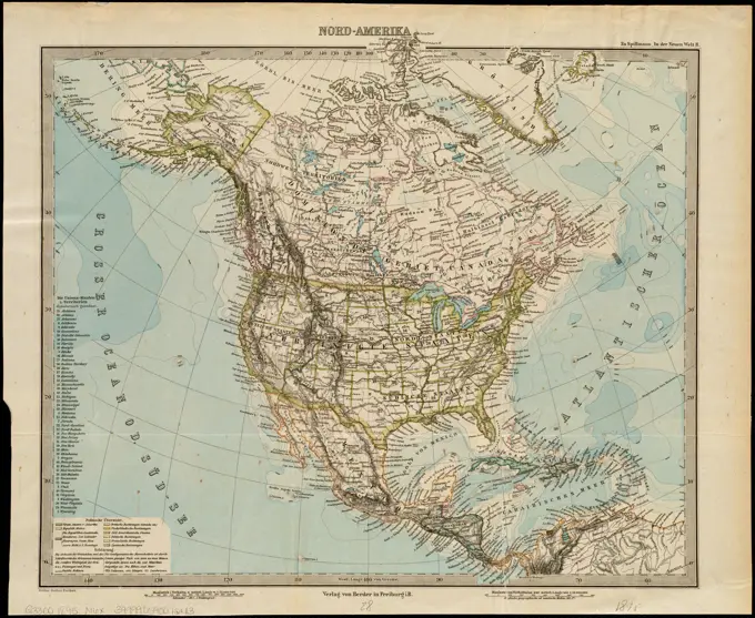
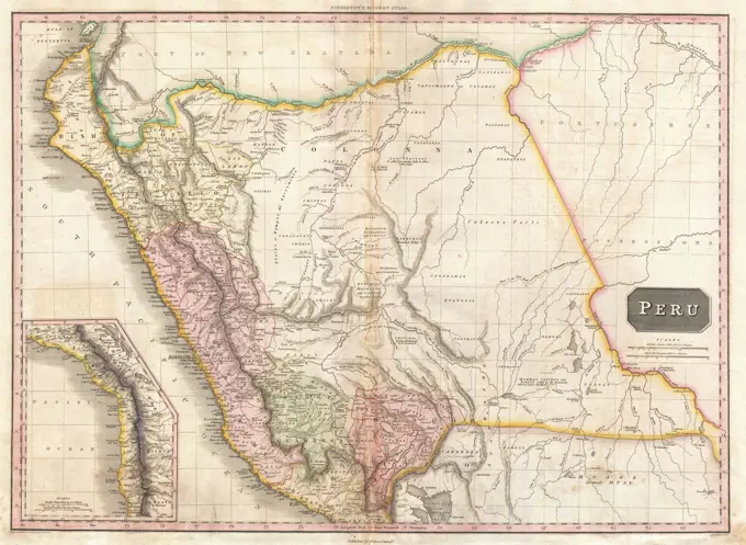
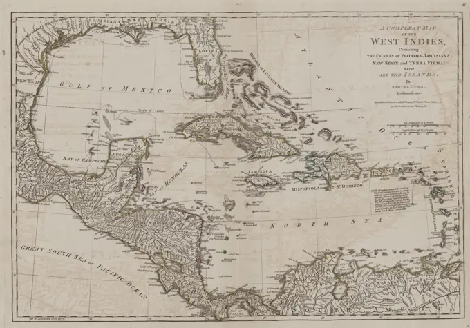
Early Maps of the Americas

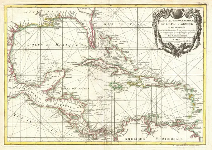
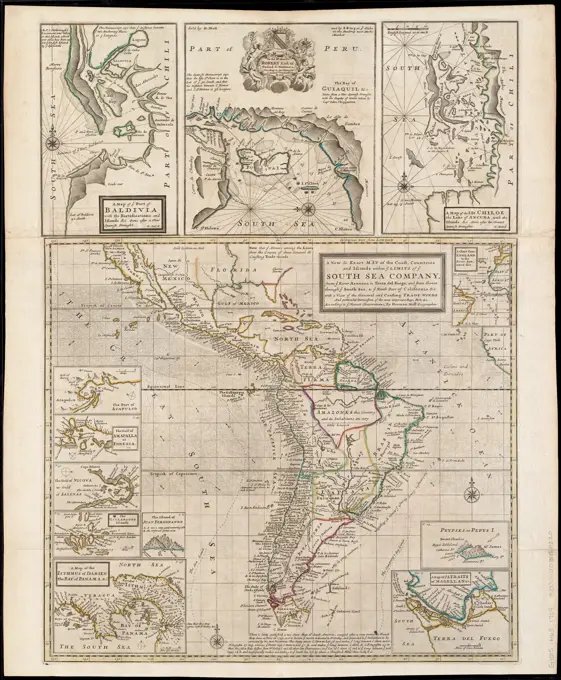
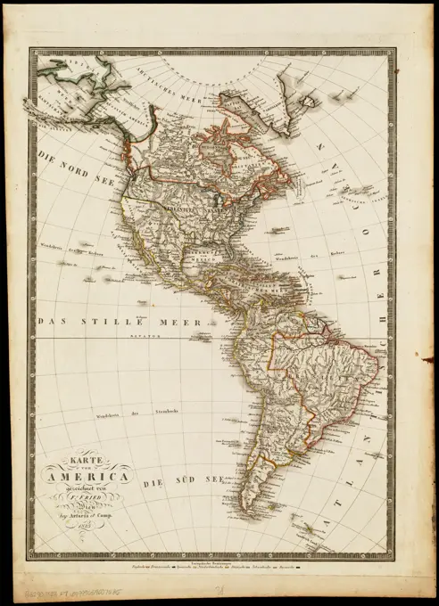
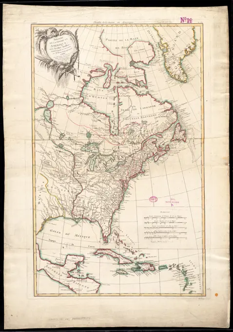
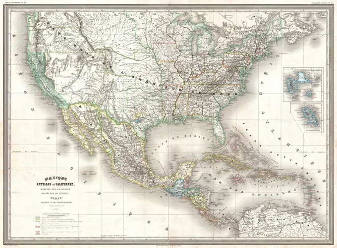
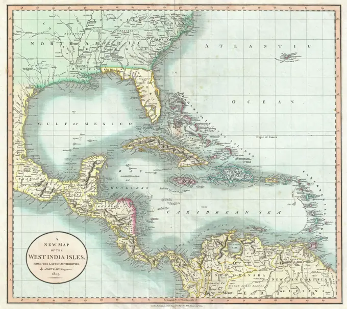
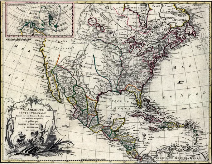
Collection of historical maps detailing the Americas, including the Caribbean and Mexico, highlighting early explorations and territorial claims.

A complete map of the West Indies, illustrating the coasts of Florida, Louisiana, New Spain, and Terra Firma, along with all the islands. Created by Robert Sayer in 1786, this map was published in London in 1788 and is noted as the second edition, featuring additions, corrections, and significant improvements. The map falls under the categories of early British works and geography