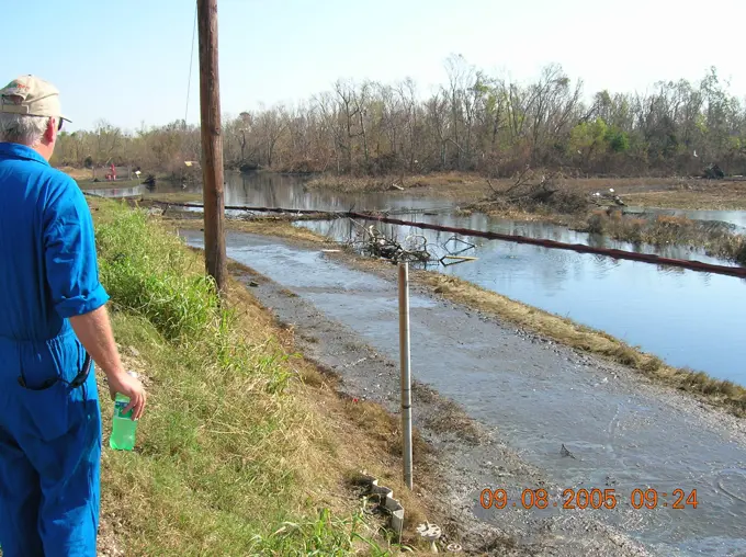
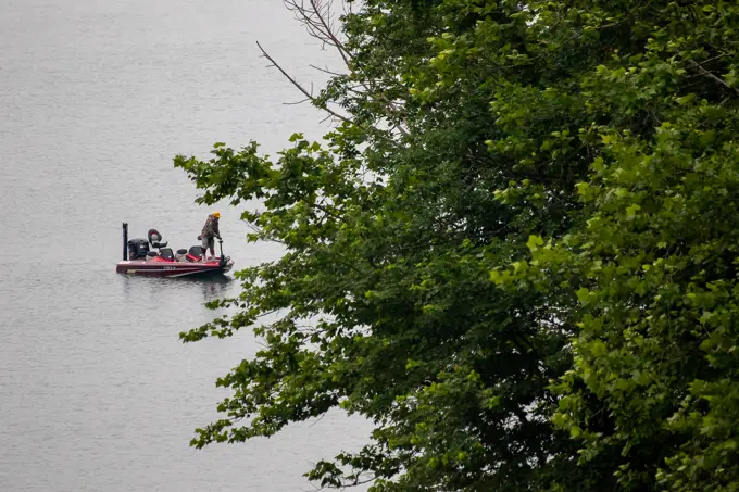
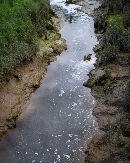
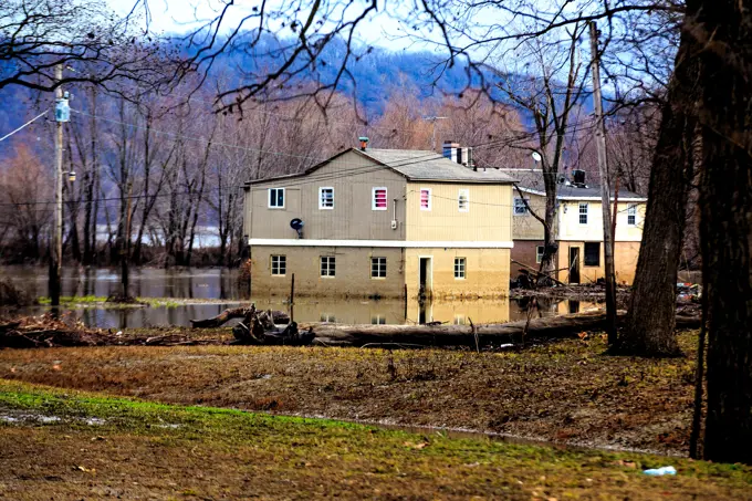
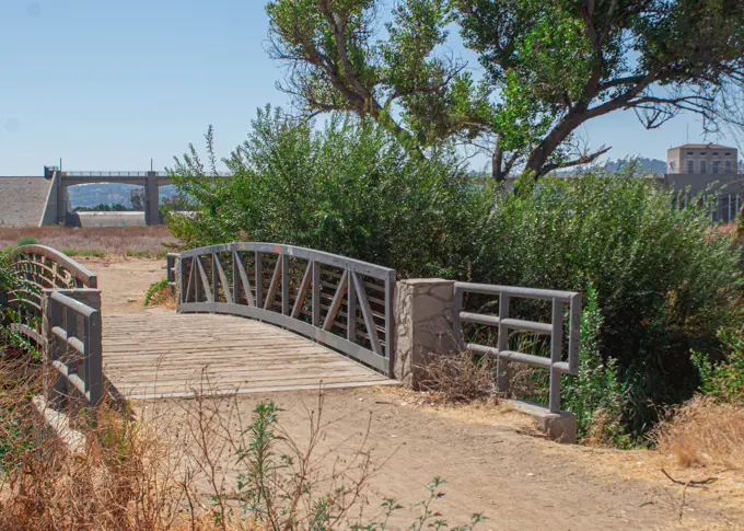
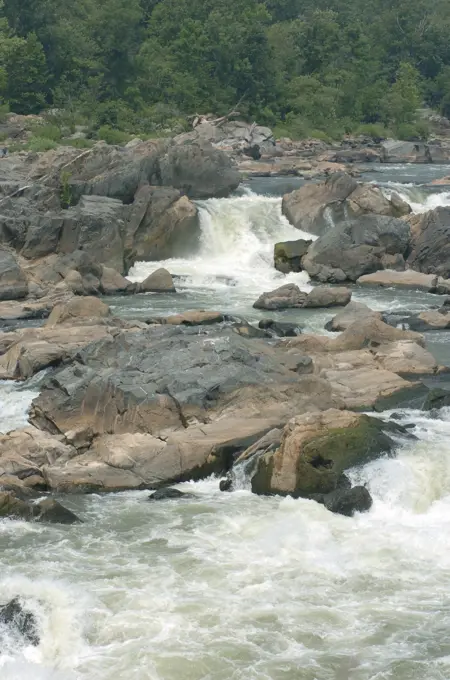
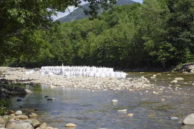
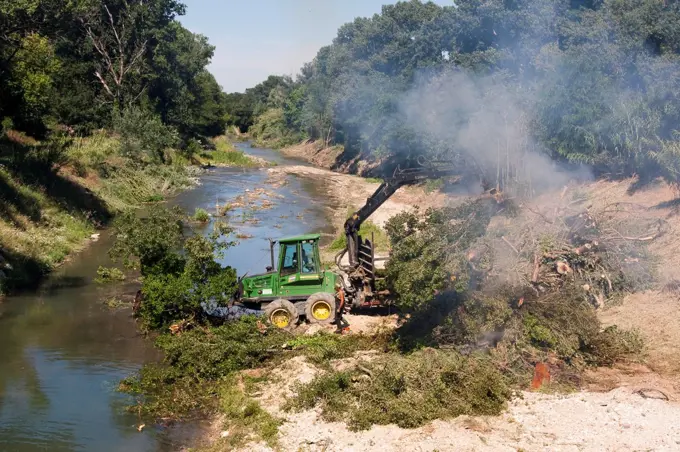
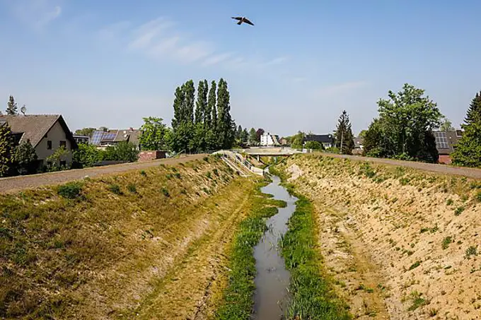
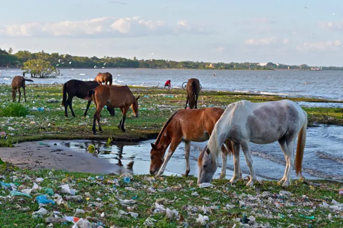
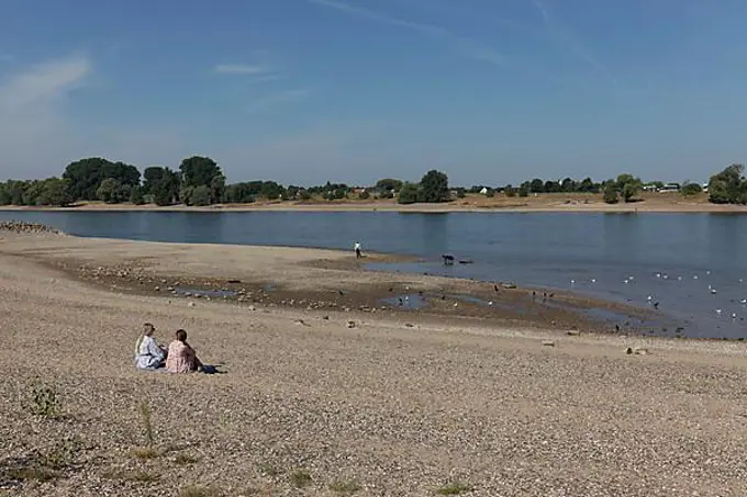
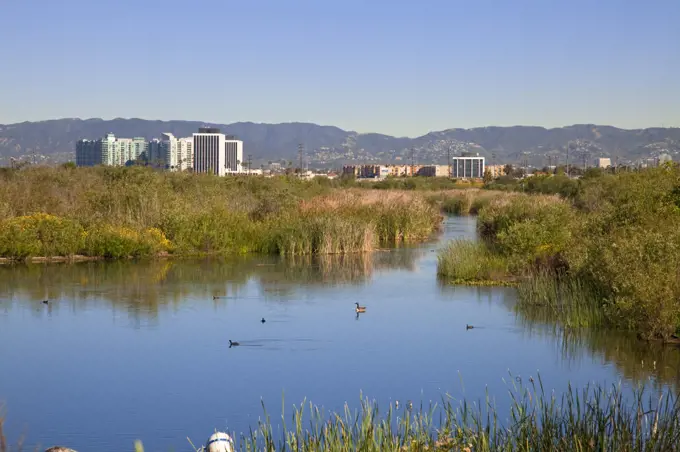
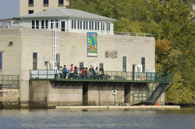
My Boards
View Pictures
  • My Boards

Flooded Landscapes

Images of flooded areas depicting still water and vegetation affected by natural disasters, showing the impact of recent floods.

North American Beaver Castor canadensis Lodge in urban environment Napa, California
259 assets in this story
4409-17242673
Parque Natural de sAlbufera de Mallorca, términos municipales de Muro y Sa Pobla, Mallorca, Balearic Islands, Spain.
6145-52272873
Sheyenne River Valley Scenic Byway - Newly Planted Sample Restoration Area. Black tarp protects small shoots of shrubs and trees laid out at the Riparian Restoration Area on the Sheyenne River Valley Scenic Byway. Location: North Dakota (46.674° N 97.947° W)
1848-53789178
Sandbags during the 2013 floods in Magdeburg on the River Elbe
5514-51168022
Most of Victoria and New South Wales in Australia has been in the grip of an unprecedented drought for the last ten years. River levels have dropped and reservoirs are at a fractio
1848-61421500
Ventilation of Lake Max-Eyth due to fish mortality, Stuttgart, Baden-Württemberg, Germany, Europe
1848-53405477
Destroy
6145-52060311
ESU St. Louis - Murphy Oil - 26-HK-319-89. Containment Water underflow berm discharge. Hurricane Katrina
6145-54342784
Office of the Administrator - Annapolis Area - EPA Administrator Gina McCarthy visiting the Smithsonian Environmental Research Center , Environmental Protection Agency
6145-55172345
Office of the Administrator - Columbia, Missouri - Administrator Gina McCarthy visiting Boonslick Gateway Farm , Environmental Protection Agency
6145-54660343
Truckee River recreation area, viewed during  visit of Secretary Dirk Kempthorne to Reno, Nevada to participate in signing ceremony for the Truckee River Operating Agreement reached by federal, state, local, tribal parties
6145-54325668
Park pic and student photo op, Claudia McMurphy , Environmental Protection Agency
6145-54586926
The shores of the refuge are lined with visitors being treated to species of birds they rarely get to see. Subjects: Aquatic birds; Aquatic environments; Birds; Coastal environments; Environments (Natural); Marine environments; Marine birds; Scenics; Wildlife refuges; Biking; Biodiversity; Birdwatching; Children; Connecting people with nature; Leisure activities; Panora. Fish and Wildlife Service Site: J.N. 'DING' DARLING NATIONAL WILDLIFE REFUGE.
4138-20003792
A crane places large sandbags into the East Branch of the Pemigewasset River in Lincoln, New Hampshire USA during the summer months. The sandbags are being used to divert water away from an area workers will be working.
6145-54160489
An area where Fort McCoy archaeology team members with the Colorado State Universitys (CSU) Center for Environmental Management of Military Lands who works in partnership with the Fort McCoy Directorate of Public Works Environmental Division Natural Resources Branch (NRB) were looking for artifacts during an archaeological survey July 14, 2022, is shown on South Post at Fort McCoy, Wis. For several weeks in July, Fort McCoy archaeological team members with NRB and CSU held a special archaeological survey and dig on South Post. The team did their survey in the South Post Housing Area, which also happens to be the oldest areas of the installations origins where Camp Robinson and Camp Emery-Upton once were located. In the actual location of the survey, however, the team was looking at areas around old concrete tent pads that were once part of Camp Robinson.
6145-54321968
Flooding   Severe Storm - Memphis, Tenn. , May 16, 2011   The flood water has dropped more than two feet at this mobile home park, however it will still be a long time before residents will have access to their property. A FEMA priority is to provide emergency funding for temporary housing. Marilee Caliendo/FEMA. Tennessee Severe Storms, Tornadoes, Straight-line Winds, and Flooding. Photographs Relating to Disasters and Emergency Management Programs, Activities, and Officials
6145-55874567
An angler fishes in the early morning at Youghiogheny River Lake in Confluence, Pennsylvania, July 15, 2022. Youghiogheny River Lake is operated as a reservoir by the U.S. Army Corps of Engineers Pittsburgh District. The reservoir offers flood risk reduction to the Youghiogheny and lower Monongahela River valleys and the upper Ohio River. Youghiogheny River Lake provides camping, water sports, biking trails, and fishing opportunities to residents and visitors.
4128R-11478960
Waterway polluted by nearby wastewater discharges
6145-52061876
Aftermath - Displaced Boats - Miscellaneous - 26-HK-28-95. damaged houses and displaced boats along waterfront. Hurricane Katrina
6145-51999507
Park pic and student photo op, Claudia McMurphy , Environmental Protection Agency
6145-54316499
Flooded Homes In Portage Des Sioux. Missouri Severe Storms, Tornadoes, Straight-line Winds, and Flooding. Photographs Relating to Disasters and Emergency Management Programs, Activities, and Officials
6145-55883640
ENCINO, California - A bridged path along connects a walking trail at the Sepulveda Dam Recreational Area. The primary purpose of the dam and reservoir is flood risk management, but the project is also authorized for recreation. Approximately 1,500 acres have been leased to the City of Los Angeles for recreational purposes.(Photo by Robert DeDeaux, Los Angeles District PAO)
6145-51999725
Park pic and student photo op, Claudia McMurphy , Environmental Protection Agency
6145-54337188
Office of Research and Development - People, Prosperity and the Planet (P3)_EPA at 40 , Environmental Protection Agency
4138-20003793
A crane places large sandbags into the East Branch of the Pemigewasset River in Lincoln, New Hampshire USA during the summer months. The sandbags are being used to divert water away from an area workers will be working.
5507-40705693
Waste water treatment facility
6145-54313991
Manitou Springs, Colo., September 21, 2013   A small bridge is overwhelmed with water from the recent flooding in the area. FEMA is working with local, state and other federal agencies to provide assistance to residents and business affected by recent foods.. Photographs Relating to Disasters and Emergency Management Programs, Activities, and Officials
6145-54338223
Chesapeake Bay - Chesapeake Bay Press Conference - Kingman Island Park , Environmental Protection Agency
6145-54316561
Image of an above ground pool that was destroyed in the storm.. Image of an above ground pool that was destroyed in the storm.. Photographs Relating to Disasters and Emergency Management Programs, Activities, and Officials
6145-52070049
Disaster Assistance Response Teams (DART) - Marine Safety Office St. Louis - 26-HK-123-64. Hurricane Katrina
6145-54347144
Office of the Administrator - Portland and Seattle , Environmental Protection Agency
6145-54312072
FEMA is working with the Cherokee Nation. Eastern Band of Cherokee Indians Severe Storms, Flooding, Landslides, and Mudslides. Photographs Relating to Disasters and Emergency Management Programs, Activities, and Officials
6145-52070060
Disaster Assistance Response Teams (DART) - Marine Safety Office St. Louis - 26-HK-123-65. Hurricane Katrina
6145-54332676
Office of Water - Student Environmental Development Program (SEDP) , Environmental Protection Agency
6145-54322492
Flooding - Minot, N. D. , July 3, 2011   Flood damage Minot North Dakota. FEMA is supporting the emergency management team in providing disaster assistance to those affected by the flooding.. North Dakota Flooding. Photographs Relating to Disasters and Emergency Management Programs, Activities, and Officials
4413-97504
Uprooting of trees in the bed Calavon river Luberon France
6176-59869236
life saving equipment provide by Toronto Parks & Recreation, Toronto Islands, Ontario, Canada
1899-68917244
Woman Gardening, Katsuragwa River, Kyoto, Japan.
6145-51999730
Park pic and student photo op, Claudia McMurphy , Environmental Protection Agency
6145-54407725
Maintenance and Logistics Commands Atlantic - Property Inventory Team - Loran Station Grangeville, Louisiana - 26-HK-181-24. Hurricane Katrina
1848-50945108
Renaturalised watercourse, the Hellbach belongs to the Emscher river system, was previously an open, above-ground sewer, Emscher conversion, Recklinghausen, Ruhr area, North Rhine-Westphalia, Germany, Europe
4271-1836
Pollution along the coast of the Lake Nicaragua (a.k.a. Lake Cocibolca), the world's twentieth largest lake.
6145-52179221
020405-F-7503W-025. Base: Leager State: West Virginia (WV) Country: United States Of America (USA)
6145-51995100
Flooding.. Photographs Relating to Disasters and Emergency Management Programs, Activities, and Officials
7077-70262978
Usa, Washington State, Olympia. Billy Frank Jr. Nisqually National Wildlife Refuge, binoculars for visitors by wetland
1848-55090991
A pond and a sign with information material in the Fernald Preserve, a nature preserve on the site of the former Fernald Feed Materials Production Center, Harrison, Ohio, USA, America, North America
1848-49879935
Rhine at extremely low water in August 2022, water level 37 cm, Duesseldorf-Kaiserswerth, Lower Rhine, North Rhine-Westphalia, Germany, Europe
6145-52654814
Subjects: Habitat restoration; Water; Resource management.  . 1998 - 2011.
6145-54670562
Acting Secretary P. Lynn Scarlett and other Interior officials and staff joining Take Pride in America volunteers for cleanup event, along the Potomac and Anacostia Rivers, organized by the environmental action group, Living Lands and Waters
6145-51999717
Park pic and student photo op, Claudia McMurphy , Environmental Protection Agency
5514-53897494
Liberia recovers from decades of civil war.
6145-52074914
Material from Vice Admiral Allen - Aftermath - 26-HK-372-5. Hurricane Katrina
1899-28628254
Urban waterway: Buffalo Bayou and skyline of Houston, Texas (IP19-2596) floodway, floodplain
4055-5859
The Ballona Wetlands is a protected area near Marina Del Rey and Playa Del Rey, and is one of the last significant wetlands area in the Los Angeles basin. Development and the  concreting over of the Ballona Creek in the 1930's for flood control purposes, reduced the 2100 acre wetlands to its present size of about 700 acres. Los Angeles, California, USA
1848-59887733
Symbolic image Extreme weather, global warming, climate change, flooded path at the ALVARIUM bee information centre, Rems Valley, Waiblingen an der Rems, Baden-Württemberg, Germany, Europe
6145-52640094
A young birder gazes out over a marsh area on the Humboldt National Wildlife Refuge. Humboldt Bay National Wildlife Refuge is located on Humboldt Bay on the northwest California coast. The refuge has two main purposes: to protect and enhance wetlands and. Subjects: Birdwatching; Estuarine environments; Wetlands; Youth; Connecting people with nature; Wildlife refuges; Children. Location: California. Fish and Wildlife Service Site: HUMBOLDT BAY NATIONAL WILDLIFE REFUGE.
6145-54327297
Office of Water - World Water Monitoring Day , Environmental Protection Agency
4055-22224965
Rio Hondo Spreading Grounds, Water Replenishment District - WRD, Pico Rivera, Los Angeles County
6176-60148843
Essen, North Rhine-Westphalia, Ruhr area, Germany, urban development project Niederfeldsee, new district with newly built lake in the Altendorf distri
5514-65779830
A contaminated lake, South Carolina, USA.
PREVIOUS
of 3
NEXT
2401 S. Ervay, Suite 206
Dallas, Texas 75215
United States
Get Started
Free ResearchMy BoardsMy Cart
For Creators
How To License Your ContentContributor PortalFrame of Mind
Resources
API accessPricing
Contact
+1 866 236 0087help@viewpictures.co.uk Contact form
©2026 View Pictures. All Rights Reserved. -A
This site is protected by reCAPTCHA and Google Privacy Policy and Terms of Service apply.