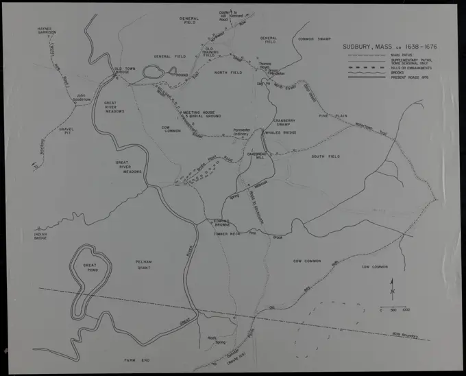
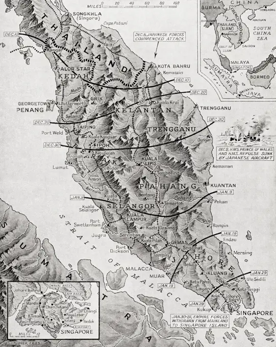
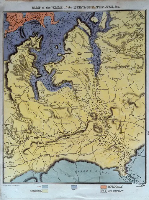
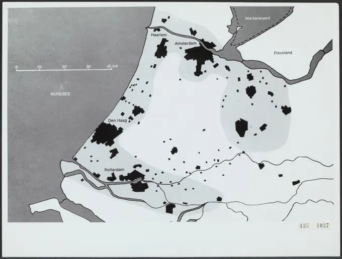
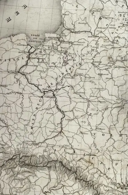
Maps used for official purposes, illustrating police divisions and geographical surveys in specific regions.
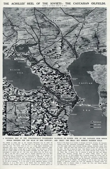
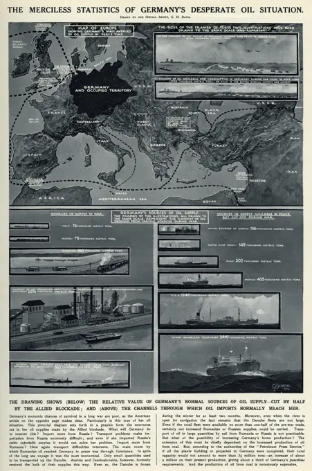
The Achilles Heel of the Soviets: the Caucasian oilfields. A pictorial map of the strategically vulnerable oilfields on either side of the Caucasus upon which Russia depends for the bulk of her supplies, and (inset) the small but remote Bashkir Field. Date: 1940