My Boards
View Pictures
  • My Boards

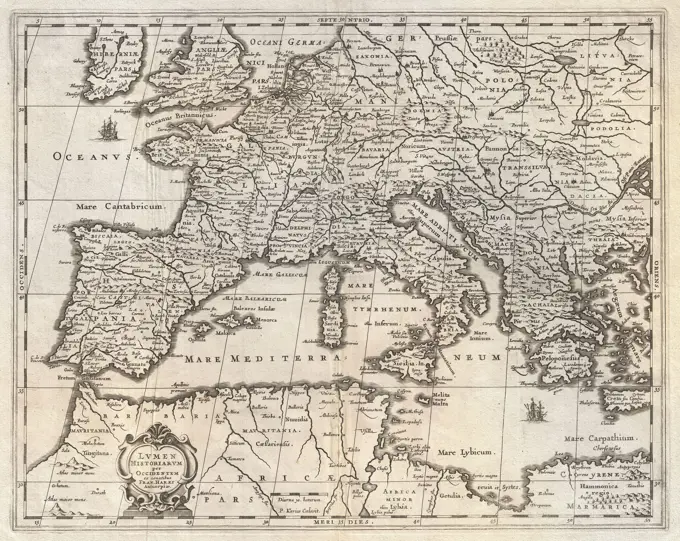
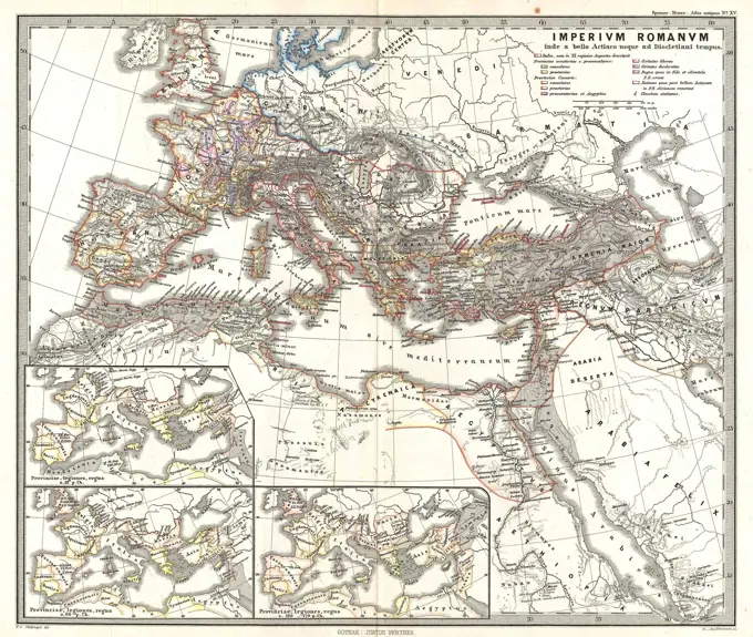
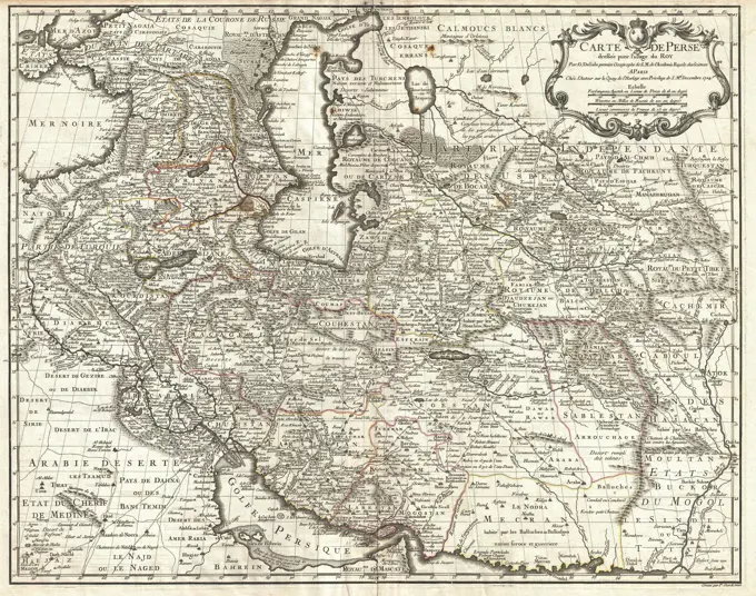
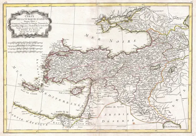
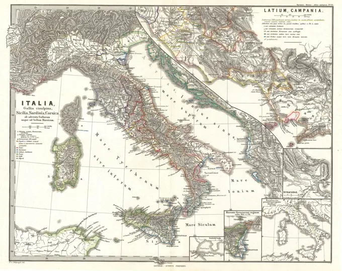
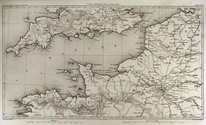
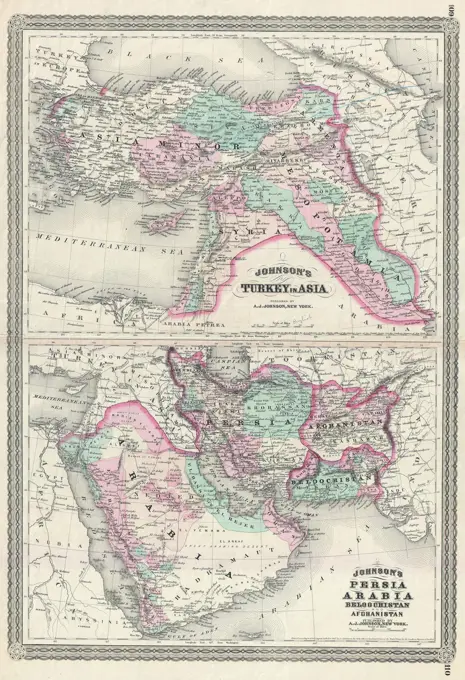
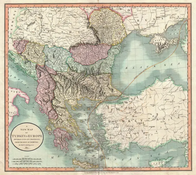
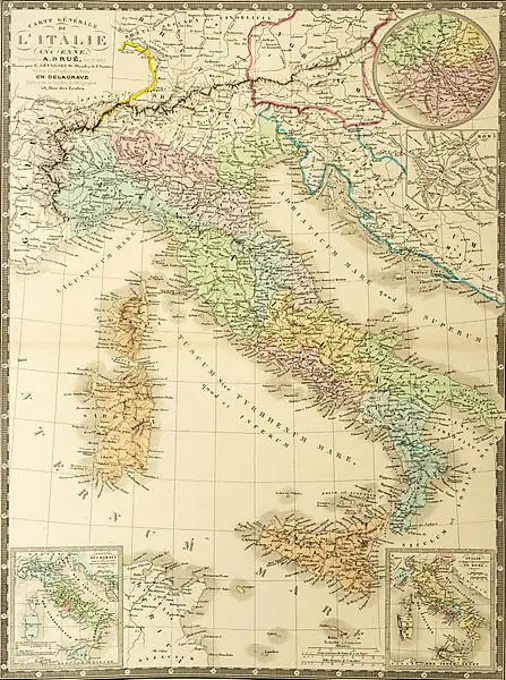
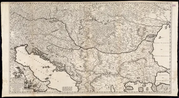
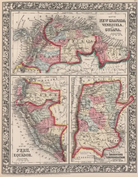
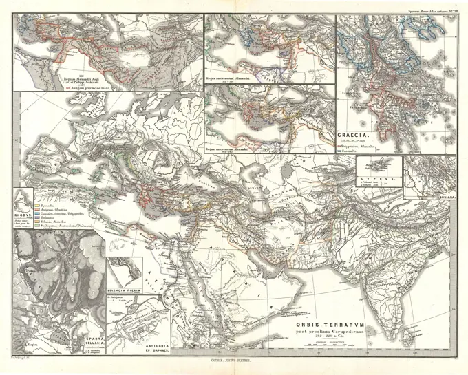
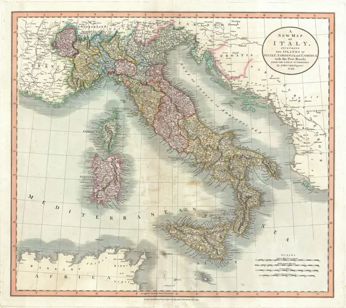
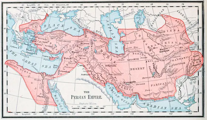
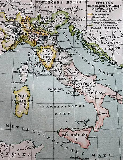
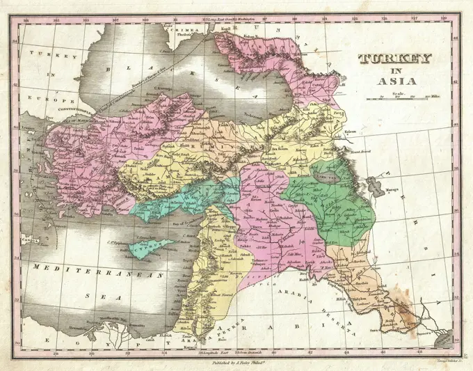
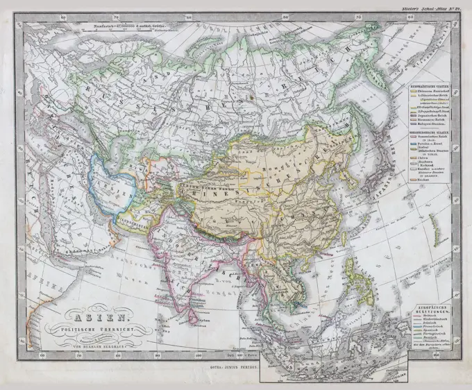
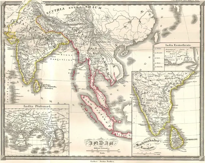
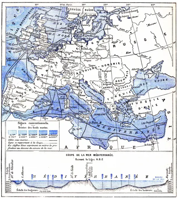
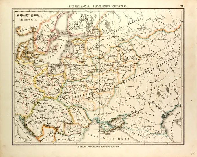
Historic European Maps

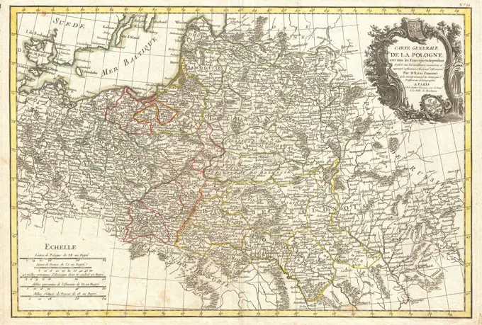
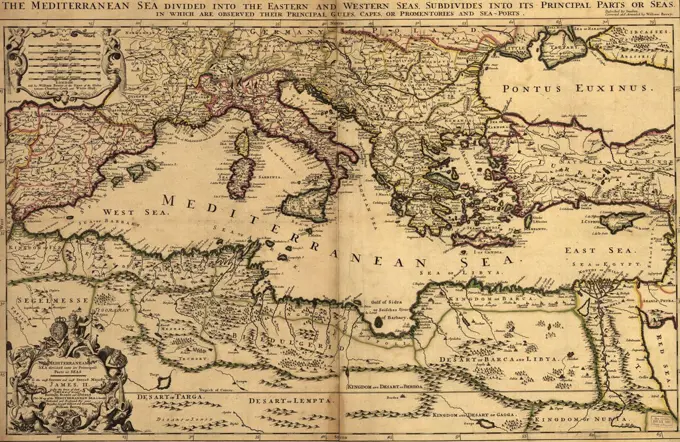
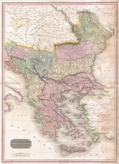
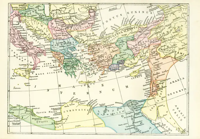
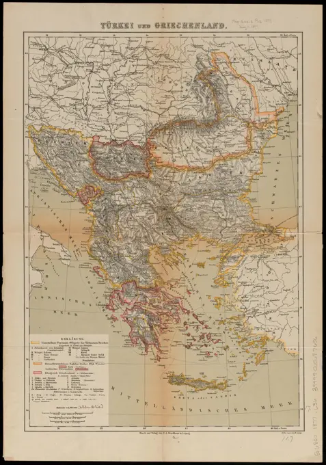
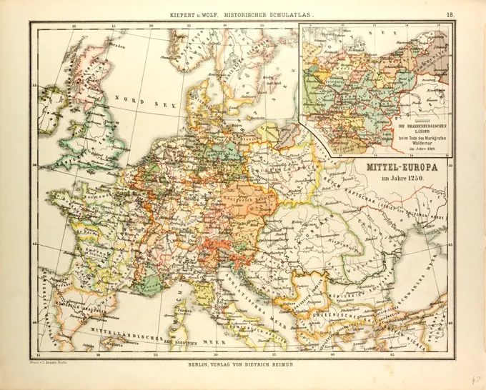
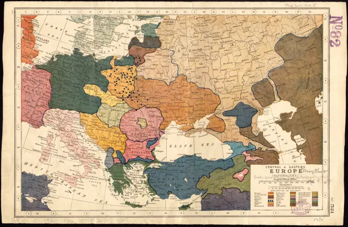
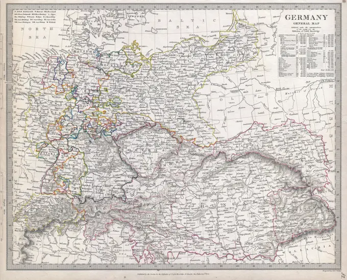
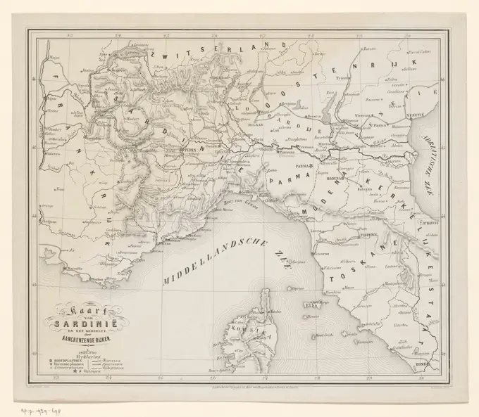
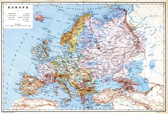
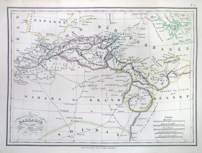
Maps detailing historical regions including Turkey, Greece, and Central Europe, illustrating complex boundaries and territories over time.

THE EMPIRE OF ALEXANDER
201 assets in this story
6145-51387338
Schedler's map of Turkey and Greece , Balkan Peninsula, Maps, Greece, Maps Norman B. Leventhal Map Center Collection
4443-14150
OLD MAP OF THE WORLD
6145-29096264
1794 Anville Map of the Ancient World
4443-14099
MAP OF CENTRAL EUROPE IN 1650
1899-39142
Map showing the gradual advance of the Barbarian Nations, drawn and engraved by W. Hughes.
4220-906
THE EMPIRE OF ALEXANDER
6145-29095644
1874 Mitchell Map of Russia
6145-55915430
Navigation a vapeur dans le bassin de la Mediterranee et chemins de fer de l'Europe Centrale. Prime meridian: Paris.... , Turkey  , Mediterranean region  ,region  Europe Europe
6145-29094599
1852 Jansson Map of Europe in Antiquity
6145-50567826
Evropa , Europe, Maps Norman B. Leventhal Map Center Collection
6145-29095375
1865 Spruner Map of the Roman Empire under Diocletian
6145-29094933
1724 De L'Isle Map of Persia (Iran, Iraq, Afghanistan)
6145-29096096
1771 Bonne Map of Turkey, Syria and Iraq
6145-29096100
1771 Zannoni Map of Poland and Lithuania
4409-21021156
Mapa del Imperio romano en tiempos de Constantino y de Trajano. Grabado de 1870.
4443-21200112
Map of Europe, 19th century engraving
4443-14128
MAP OF THE PERSIAN EMPIRE AND THE EMPIRE OF ALEXANDER THE GREAT
4048-5280
1685 map of the Mediterranean Sea and coastal lands.
6145-29096496
1818 Pinkerton Map of Turkey in Europe, Greece andamp, the Balkans
1899-61455233
This map dates to 1897 and shows the western Provinces of the ancient Roman Empire. Among them are: Arabia Petraea, Mesopotamia, Armenia, Cappadocia, Bithynia and Pontus, Galatia, Mysia, Lydia, and Cilicia. .
4443-14098
MAP OF CENTRAL EUROPE IN 1803
6145-50565822
The National Geographic magazine map of the new Balkan states and Central Europe , Balkan Peninsula, Maps, Europe, Central, Maps Norman B. Leventhal Map Center Collection
6145-55167746
Turkei und Griechenland. Date of publication estimated from date of acquisition. Relief shown by hachures. Prime meridian: Paris... Europaische Turkei und Griechenland. Europaische Turkei und Griechenland, Balkan Peninsula  ,area
4443-14114
MAP OF CENTRAL EUROPE IN 1000 A.D.
6176-66908819
Map of Asia Vetus - Sanson Atlas, circa 1700
6145-51393392
Guerre d'orient, Balkans, Asie Mineure, Perse , World War, 1914-1918, Middle East, Maps, Middle East, Maps, Turkey, Maps, Balkan Peninsula, Maps Norman B. Leventhal Map Center Collection
6145-51396964
Rand McNally & Co's new commercial map of Europe , United States, Maps, Europe, Boundaries, Maps Norman B. Leventhal Map Center Collection
6145-51397807
Orbis Romani pars occidentalis : auspiciis serenissimi principis Ludovici Philippi Aurelianorum ducis publici juris facta , Rome, Maps, Early works to 1800 Norman B. Leventhal Map Center Collection
6176-66913171
Map of France, Spain, Portugal and Italy with a Greece inset, circa 1861
6176-66917308
Romani Imperia Qua Oriens - Map of Eastern Roman Empire - Sanson Atlas, circa 1700
463-3661
Map of Europe, 1802 Maps Post Museum, Berlin, Germany
4443-14112
MAP OF CENTRAL EUROPE IN 1250
6145-51392925
Europe , World War, 1914-1918, Maps, Europe, Maps Norman B. Leventhal Map Center Collection
6145-55913620
Europe. Date estimated from text. Relief shown by hachures. Indexed. Includes text and statistics on reigning families, navies, armies, territories, etc.... , Europe Europe
6145-51391969
Central & Eastern Europe (nationalities) , Ethnology, Europe, Maps, Europe, Maps Norman B. Leventhal Map Center Collection
6145-55912991
Central & Eastern Europe (nationalities). Text and illustrations on verso. In upper right on verso: Harmsworth's new atlas. Pages 521 and 522 from Harmsworth's atlas of the world... Central and Eastern Europe nationalities. Central and Eastern Europe nationalities, Europe Europe
6145-55917181
Stanford's shilling map of the seat of war. Relief shown by hachures.... , Europe Europe
6145-29096662
1840 S.D.U.K. Map of Germany
6145-59471474
Map of the war site of southern France and Northern Italy in 1859, H. Scheve, After A.J. Last carrier, 1859 print  Zwolle paper  maps of separate countries or regions South France. Corsica. Sardinia Kingdom
6145-55917565
Verkehrs-karte von Europa : ubersichts grosserer eisenbahnverbindungen, telegraphen und uberseeischer dampfschiffahrt. Shows telegraph lines, railroads, post roads and steam ship routes. Relief shown by gradient tints and spot heights.... , Europe Europe
6188-55551518
The old planispheric map of Europe The old planispheric map of Europe with explanation of signs on map. Copyright: xZoonar.com/PatrickxGuenettex 10656239
6145-29095379
1865 Spruner Map of Persia in Antiquity
1848-19360957
Das römische Reich unter Kaiser Trajan, zwischen 98, 117, Historisch, digital restaurierte Reproduktion einer Originalvorlage aus dem 19. Jahrhundert
6145-29096601
1833 Malte-Brun Map of North Africa or Barbary
4443-10776
MAP OF CENTRAL EUROPE, 1899
6145-29095362
1865 Spruner Map of Italy before the Gauls and the Marsicus War
6145-51391830
Carte de la Barbarie le la Nigritie et de la Guinée , Africa, Maps, Early works to 1800, Africa, West, Maps, Early works to 1800 Norman B. Leventhal Map Center Collection
6145-55955540
Asia Minor and Southeastern Europe Cartographic. Maps. 1922. General Research Division
4409-17339235
Napoleonic map. English Channel. Atlas de l'Histoire du Consulat et de l'Empire. History of the Consulate and the Empire of France under Napoleon by Marie Joseph Louis Adolphe Thiers (1797-1877). Drawings by Dufour, engravings by Dyonnet. Edited in Paris, 1864.
6145-50567821
Bacon's map of Europe , Europe, Maps Norman B. Leventhal Map Center Collection
6176-67037896
Political map of South Western Asia. Artist: Unknown.
4443-14127
THE EMPIRE OF THE DIADOCHI IN THE 3RD CENTURY B.C.
1890-89976
Old Map of India and Southeast Asia, Asia
6145-29095516
1870 Johnson Map of Turkey, Persia, Arabia ( Iran, Iraq, Afghanistan )
6145-55916031
Philips' new map of Central Europe. Shows boundaries, roads and railroads. Relief shown by hachures. On cover: Philips' war maps... Philips' authentic map of Central Europe. Philips' authentic map of Central Europe, Europe Europe
4409-20880087
Mapa de Europa en las Cruzadas publicado en el libro Historia Universal, de Felipe Picatoste. Madrid, 1890.
6145-29096358
1801 Cary Map of Turkey in Europe, Greece, and the Balkan
6176-66909801
Map of Apostle Paul's Voyage to Rome - Early Christian Ministry
6145-50565823
Political map of the Balkan States , Balkan Peninsula, Maps Norman B. Leventhal Map Center Collection
1848-51000460
Historical map around 1874, Italy, Europe
6145-51386939
Regni Hungariae, et regionum, quae ei quondam fuêre unitae, ut Transilvaniae, Valachiae, Moldaviae, Serviae, Romaniae, Bulgariae, Bessarabiae, Croatiae, Bosniae, Dalmatiae, Sclavoniae, Morlachiae, Ragusanae Reipublicae, maximaeque partis Danubii Fluminis, novissima delineatio , Balkan Peninsula, Maps, Early works to 1800, Hungary, Maps, Early works to 1800 Norman B. Leventhal Map Center Collection
6145-51395773
The National Geographic magazine map of the countries bordering the Mediterranean Sea , Mediterranean Region, Maps Norman B. Leventhal Map Center Collection
4443-75473702
Map of New Granada, Grenada, Venezuela, and Guiana; Map of Peru and Ecuador; Map of the Argentine Confederation, issued in 1863 in Philadelphia by publisher S. A. Mitchell, Jr
6145-29095363
1865 Spruner Map of Italy after the Battle of Actium
6145-50559159
Orbis veteribus notus scilicet: Europe, Asia, Africa publici juris factus , Geography, Ancient, Maps, World maps, Eastern Hemisphere, Maps Norman B. Leventhal Map Center Collection
6145-50567798
Central & Eastern Europe (nationalities) , Ethnology, Europe, Maps, Europe, Maps Norman B. Leventhal Map Center Collection
4443-14118
MAP OF THE ROMAN EMPIRE AND ITS NEIGHBOUR EMPIRES IN THE 1ST, 2ND, AND 3RD CENTURIES A.D.
6145-55914467
Map of Europe showing countries as established by the Peace Conference at Paris. Relief shown with hachures. Issued with the National geographic magazine, Feb. 1921. Includes inset of Map of the Dardanelles, scale approximately 1:1,000,000.. Shows boundaries of countries as they existed before the war, new political boundaries definitely decided by the conference, new political boundaries still under consideration, territories subject to plebiscite, and international territories. Protectorates and Mandates are shown... , Europe Middle East  ,area  Europe
6145-29095382
1865 Spruner Map of the World After the Battle of Corupedi
6145-29277927
A map of northern and central Europe. Engraving.
6145-29096478
1818 Pinkerton Map of the Austrian Empire
6145-51391357
Austria Hungary , Austria, Maps, Hungary, Maps Norman B. Leventhal Map Center Collection
6145-29096784
1850 Mitchell Map of Europe
6145-55963180
Orbis romani pars orientalis. 1764. still image. The Miriam and Ira D. Wallach Division of Art, Prints and Photographs: Picture Collection. Geography, Ancient, Rome, Mediterranean Region
6145-51391439
Bartholomew's contour motoring map of Central Europe showing the best touring roads with heights and distances in metres and kilometres , Roads, Europe, Central, Maps, Europe, Central, Maps Norman B. Leventhal Map Center Collection
6145-52359037
Countries adjacent to the Mediterranean Sea Godwin, William, 1756-1836. Cartographic. Maps. 1809. Carl H. Pforzheimer Collection of Shelley and His Circle. Rome , History, Mediterranean Region
6145-29096299
1799 Cary Map of Italy
6176-66905094
Map of The Persian Empire
1848-61467772
Map of Italy from 1500 to the beginning of the wars Napoleon I., 1796, historical illustration, Italy, Europe
4443-20305945
Europe, Europa, atlas by Th. von Liechtenstern and Henry Lange, antique map 1869
6176-66094203
1818 map of the Austrian Dominions by Pinkerton.  Covers the Austro-Hungarian Empire at the height of its influence. Includes Bohemia, Tyrol, Austria, Croatia, Sclavonia, Hungary, Transylvania, and parts of Poland.  Drawn by L. Herbert and engraved by Samuel Neele under the direction of John Pinkerton.
6145-59252063
De Schelde from Vlissingen to Antwerp. December 1832, 1832 - 1833 print Map of the Westerschelde with parts of Zeeland, Zeeland Flanders and Flanders, with the course of the Scheldt to Antwerp. In connection with the siege of the Citadel of Antwerp by the French army, December 1832. Netherlands paper etching / engraving maps of separate countries or regions Zealand. Westerschelde. Antwerp. Dutch Flanders
6145-55917855
Zeleznicka i brodarska karta Kraljevine Srba Hrvata i Slovenaca = Carte des chemins de fer et de naviation du Royaume des Serbes, Croates et Slovenes = Railway- and shipping-map of the Serbo-Croato-Slovenian Kingdom = Eisenbahn- und schiffahrts-karte des Konigreiches der Serben, Kroaten und Slovenen = Carta delle ferrovie e di navigazione del Regno dei Serbi, Croati e Sloveni = Harta cailor ferate si a navigatiei din Regatul S.C.S.. Shows railroads and waterways of Serbia, Croatia and Slovenia. Insets: Sematska karta zeleznicka mreze u Kraljevine Srba, Hrvata i Slovenaca -- Ljubljana -- Beograd -- Zabreg. Pronunciation guide for 5 languages printed inside front cover. List of other maps by Deroko printed on back cover. In Serbo-Croatian (Cyrillic). Cover lists title in Serbo-Croatian, French, English, German, Italian and Romanian.... , Serbia and Montenegro  ,former primary political entity
6145-29096568
1827 Finley Map of Turkey in Asia, Iraq and Israel - Palestine
6176-66095187
This map of europe shows the principal ancient Roman roads throughout the area. The network of publicRomanroads covered around 76,000 miles, and it greatly assisted the free movement of armies, people, and goods across the empire.
6145-51397808
Orbis Romani descriptio : seu divisio per themata sub Imperatoribus Constantinopolitanis post Heraclii tempora facta , Rome, Maps, Early works to 1800 Norman B. Leventhal Map Center Collection
1848-61922500
Map, the German Empire under the Hohenstaufen, ca 1200, historical illustration, Italy, Europe
4409-17512720
Carte d'Europe, Dressée pour l'Usage du Roi D'apres les Itinèraires et les Observations Astronomiques de l'Académie R.le des Sciences par Guil. Delisle Phil. Buache, Premiers Géographes du Roi et de l'Académie Royale des Sciences. Revue et Augmentée par Dezauche, Géographe et Successeur des S.rs Delisle et Buache. 1789 A Paris Chez l'Auteur Rue des Noyers. Avec privilege du Roi. Map of Europe. Date/Period: 1789. Print. Height: 500 mm (19.68 in); Width: 620 mm (24.40 in). Author: Jean-Claude Dezauche.
6145-50571475
Seat of war in the east : map of Turkey and parts adjacent , Turkey, Maps, Balkan Peninsula, Maps Norman B. Leventhal Map Center Collection
6176-67071987
Map of Bengal, the North West and Central Provinces, and Assam, 1902.  Creator: Unknown.
6145-29096635
1836 Cary Map of Greece and the Balkans
6176-67058748
Map of Persia, 1902.  Creator: Unknown.
6145-29095193
1862 Perthes Map of Asia
4443-10996
MAP OF BOUCHES-DU-RH¥NE, FRANCE
6145-29094932
1855 Spruneri Map of India and Southeast Asia in Ancient Times
1525-28034438
Map of the Mediterranean Sea and Other Waters of Europe, vintage engraved illustration. Dictionary of Words and Things - Larive and Fleury - 1895
6145-29096715
1706 De La Feuille Map of Europe
4443-14110
MAP OF NORTH EAST EUROPE IN 1310
1746-21121978
Map showing the empire of the Greek conqueror, Alexander the Great 356-323 BC
6145-55958751
Italy, divided into its states with their subdivisions 1786. Dunn, Samuel, d. 1794. Cartographic. Maps. Lionel Pincus and Princess Firyal Map Division. Atlases, British, Geography, Italy
PREVIOUS
of 3
NEXT
2401 S. Ervay, Suite 206
Dallas, Texas 75215
United States
Get Started
Free ResearchMy BoardsMy Cart
For Creators
How To License Your ContentContributor PortalFrame of Mind
Resources
API accessPricing
Contact
+1 866 236 0087help@viewpictures.co.uk Contact form
©2026 View Pictures. All Rights Reserved. -A
This site is protected by reCAPTCHA and Google Privacy Policy and Terms of Service apply.