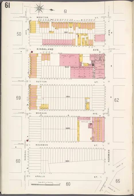
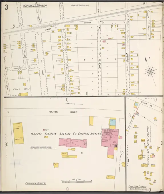
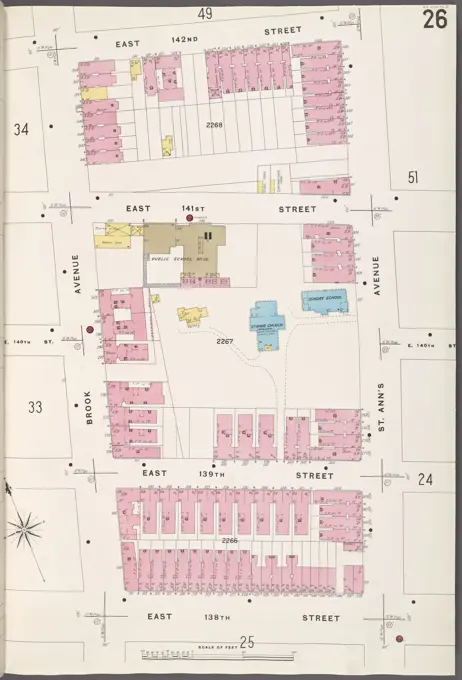
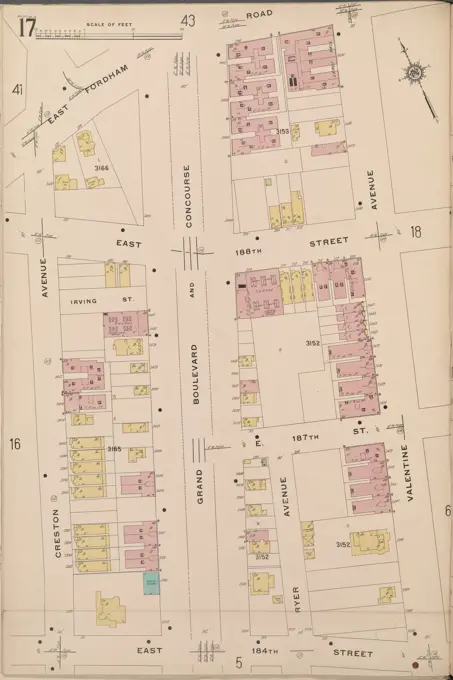
Historic Fire Insurance Maps
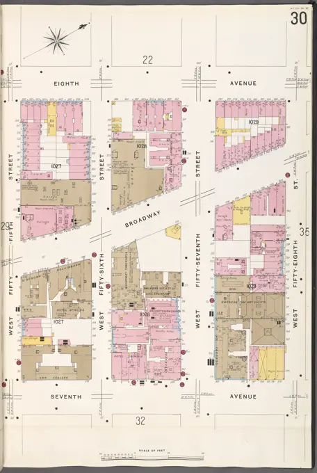
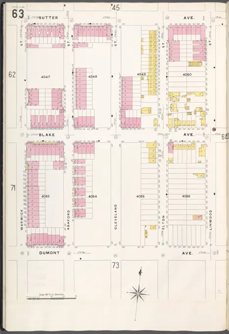
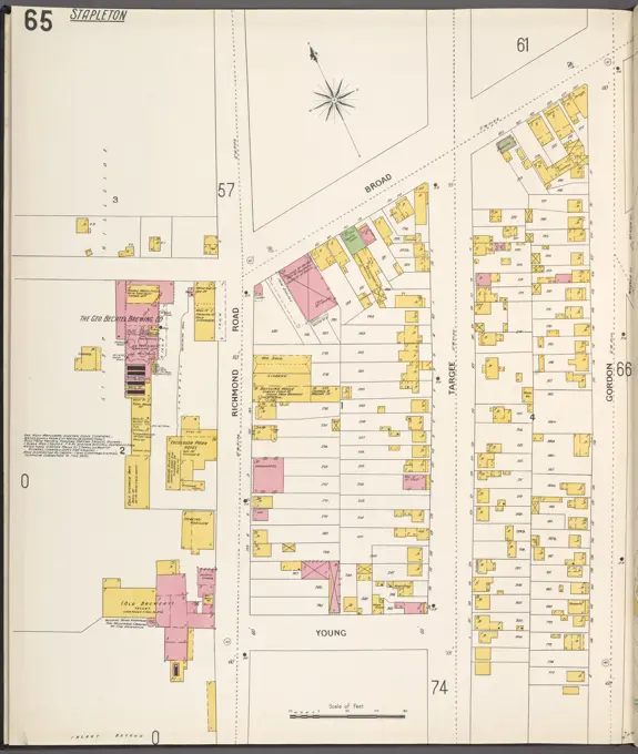
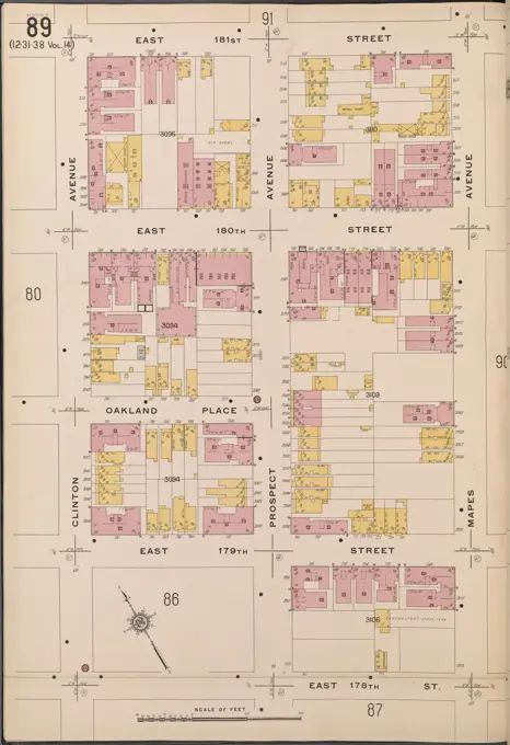
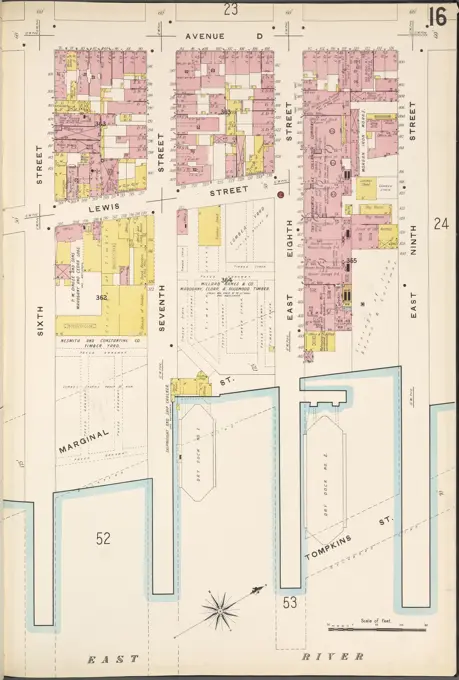
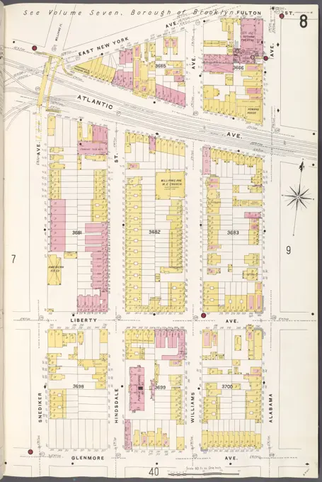
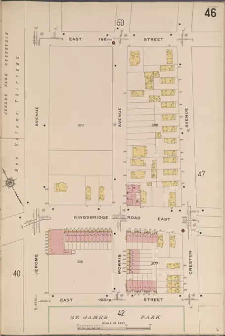
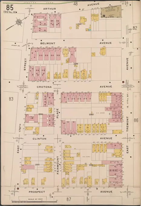
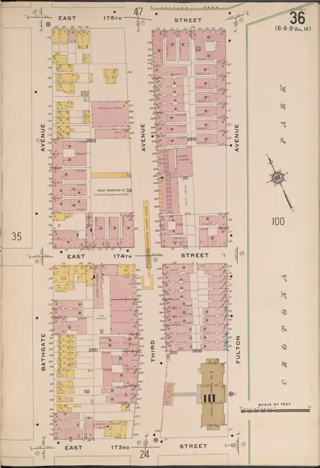
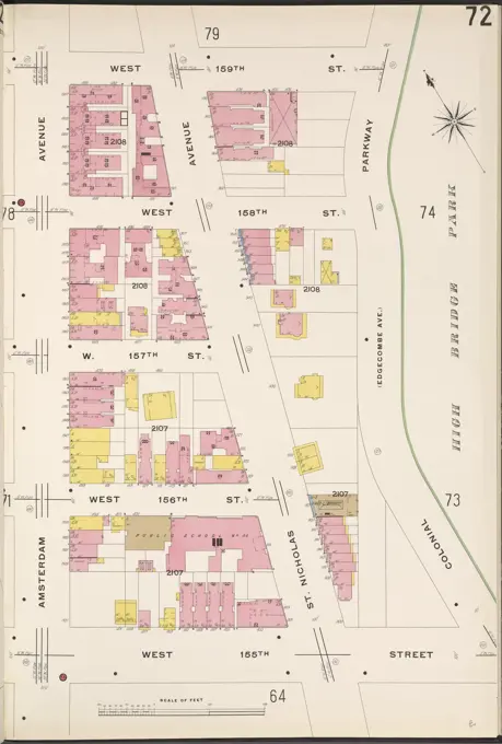
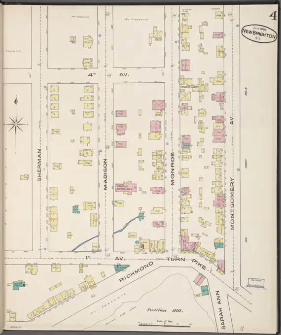
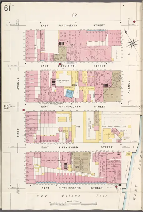
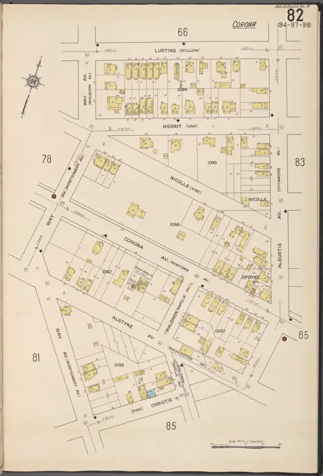
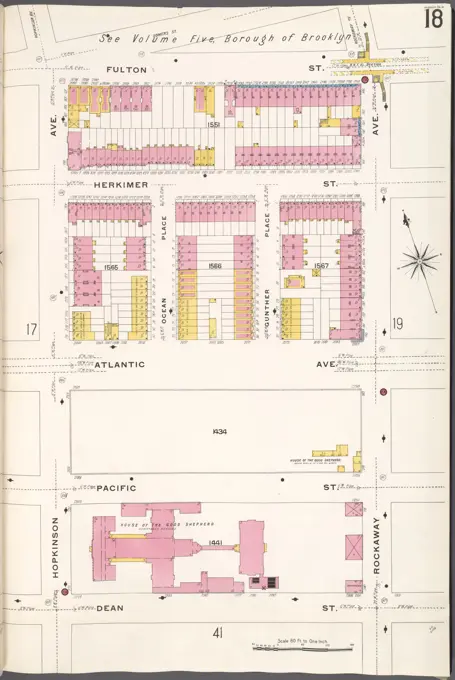
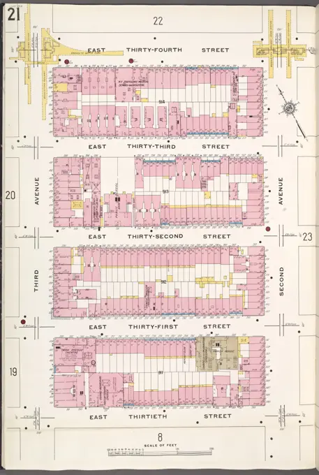
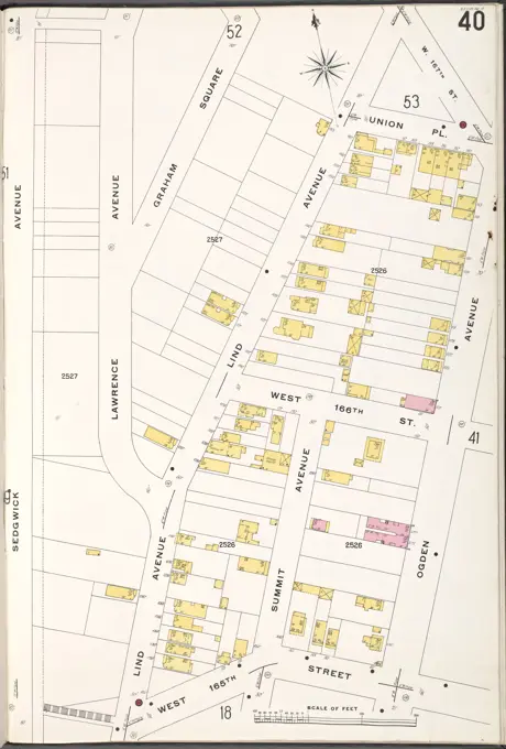
Detailed cartographic maps of various neighborhoods in New York, showcasing property layouts and structures from the early 1900s.

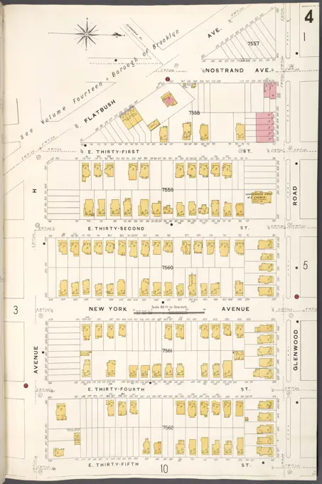
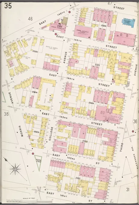
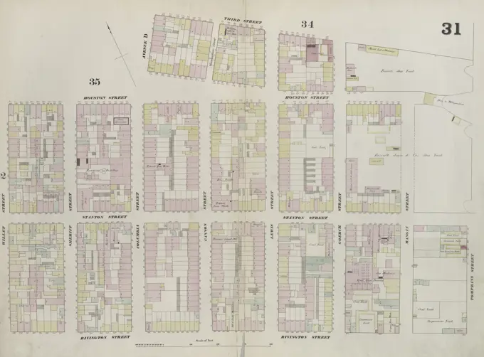
Detailed cartographic maps of various neighborhoods in New York, showcasing property layouts and structures from the early 1900s.