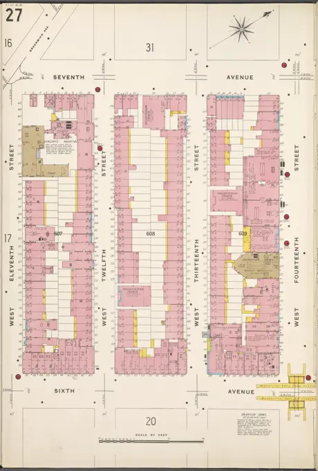
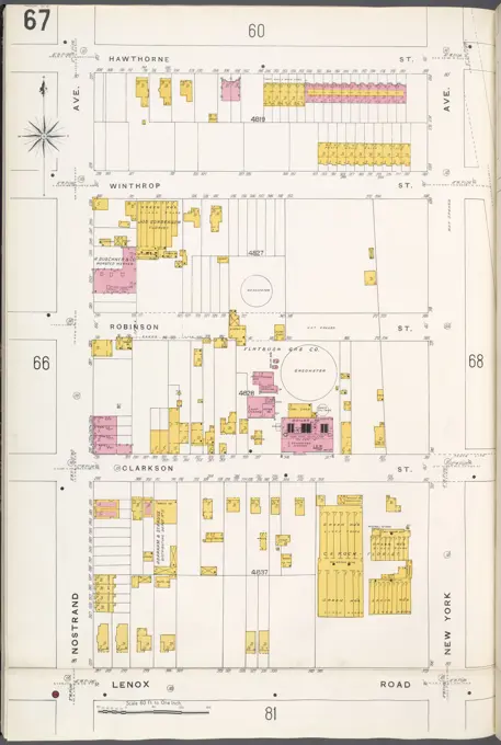
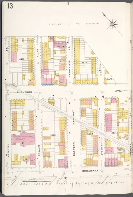
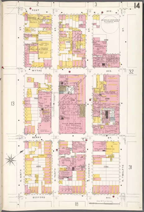
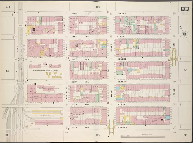
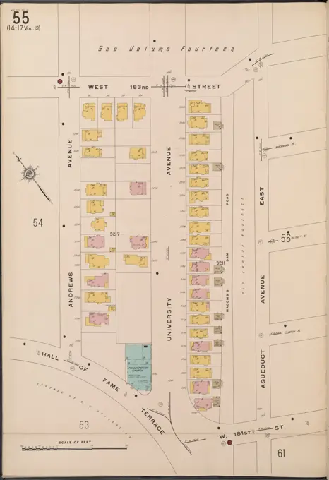
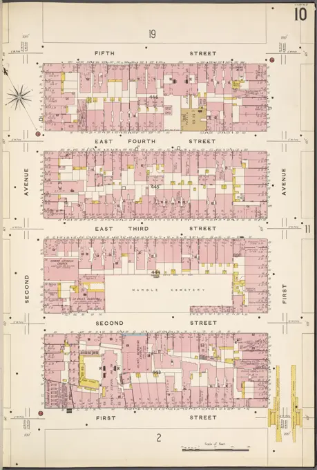
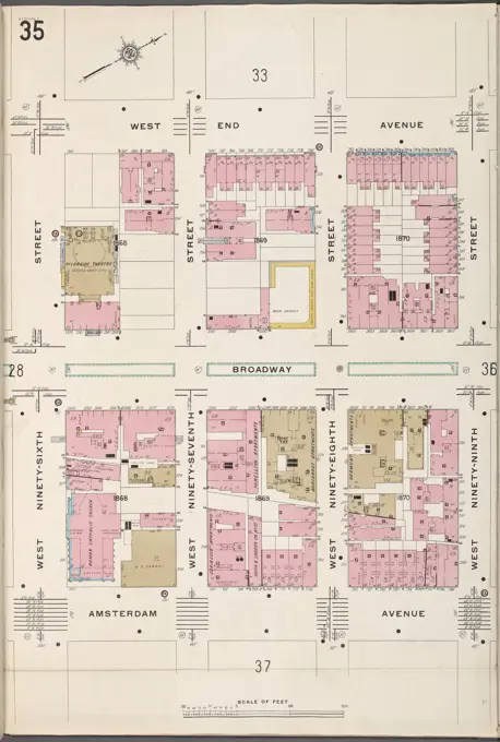
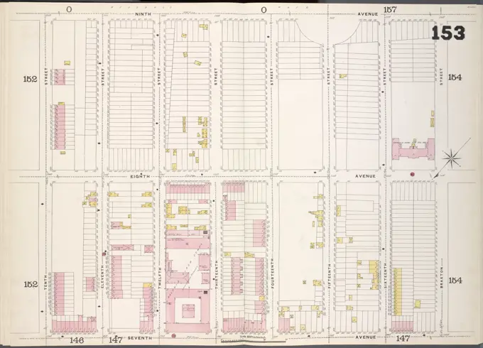
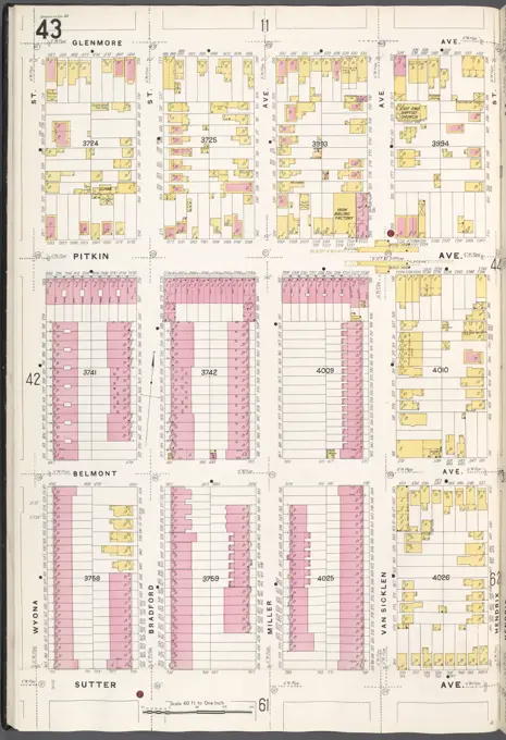
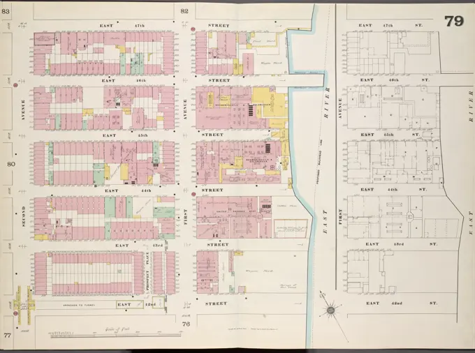
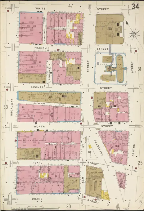
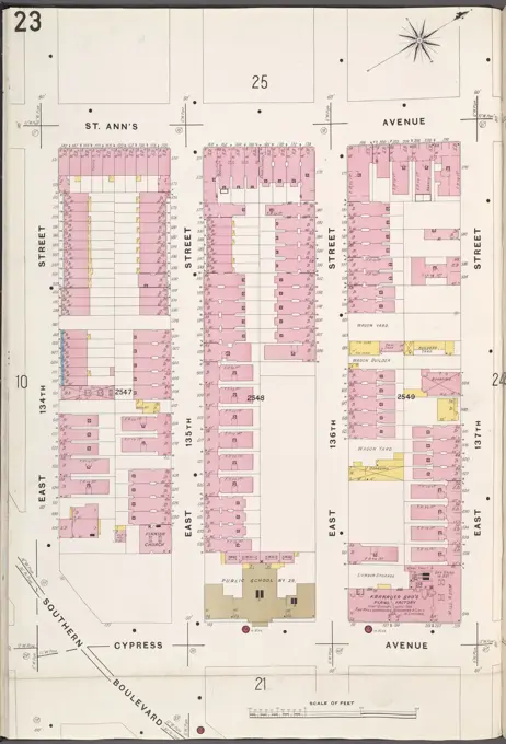
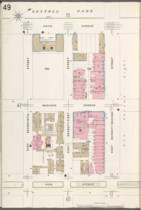
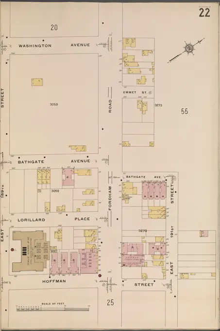
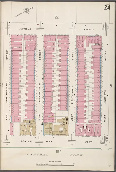
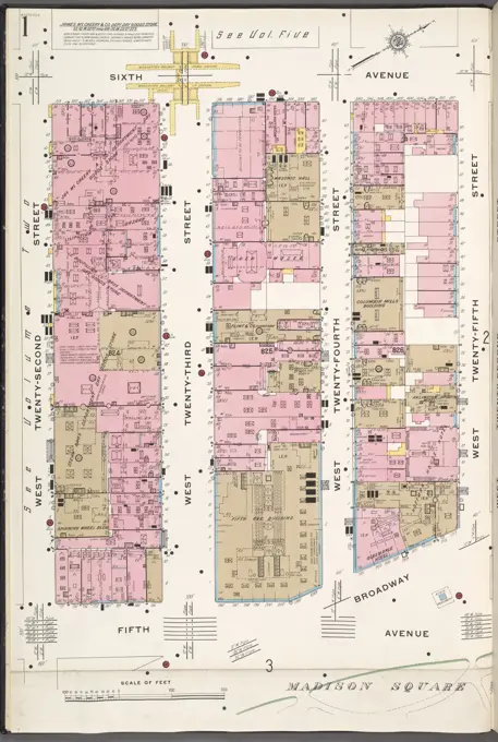
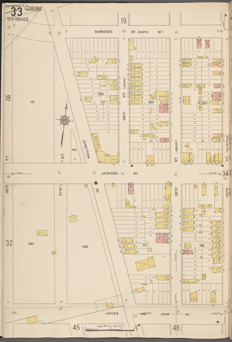
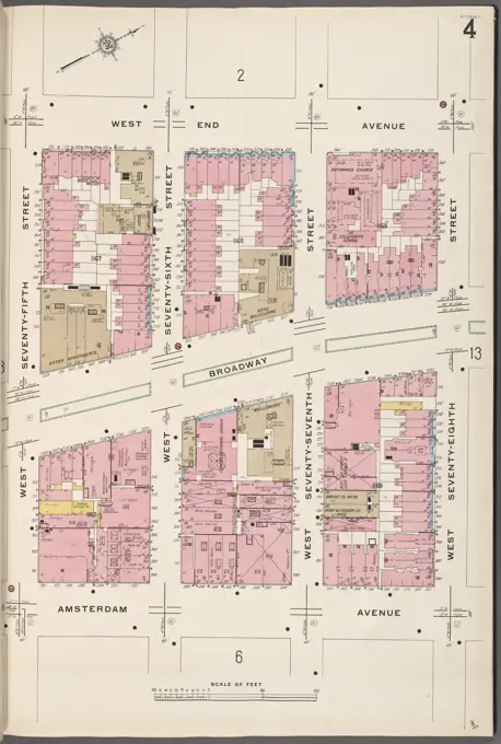
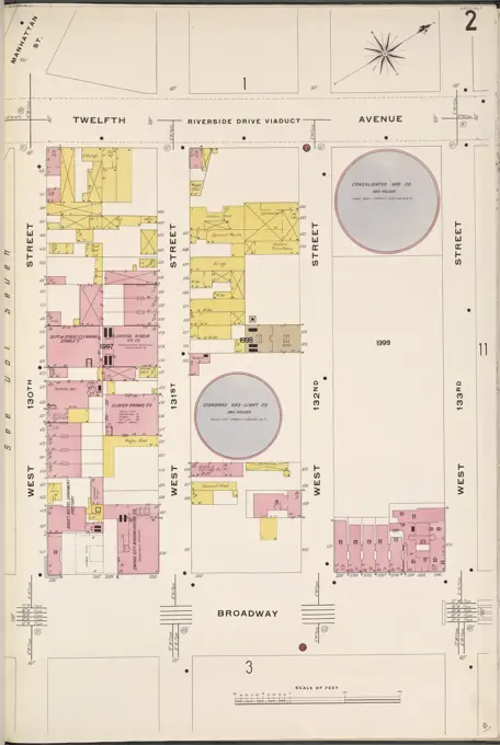
Historic Fire Insurance Maps
Detailed fire insurance maps from New York State, showcasing urban layouts, building designs, and city plans from the late 19th and early 20th centuries.

Detailed fire insurance maps from New York State, showcasing urban layouts, building designs, and city plans from the late 19th and early 20th centuries.