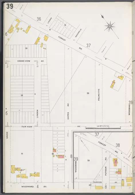
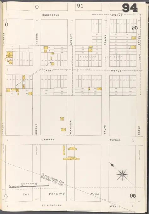
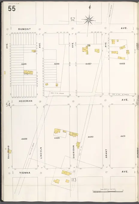
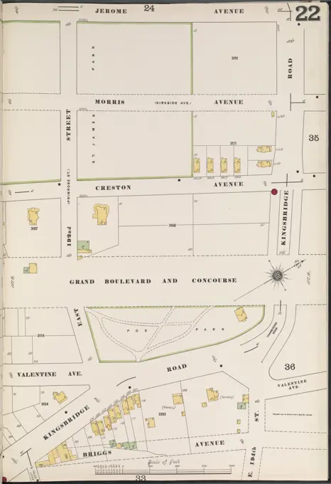
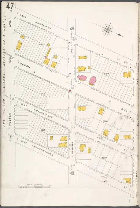
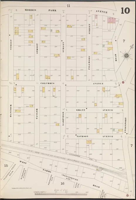
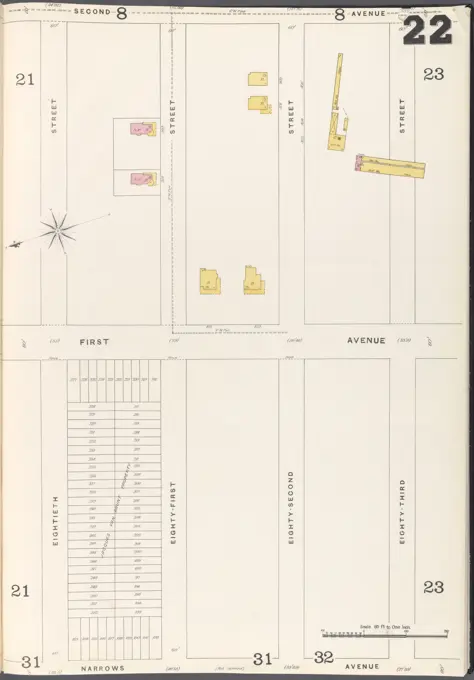
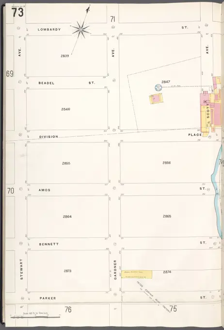
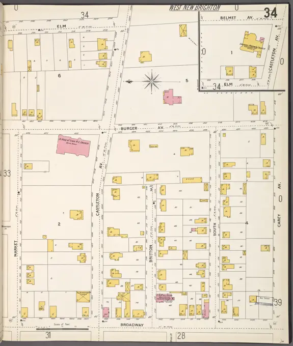
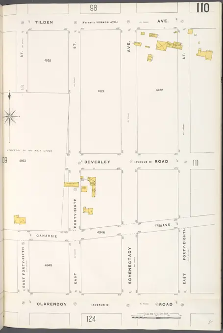
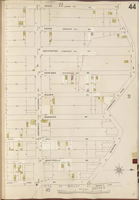
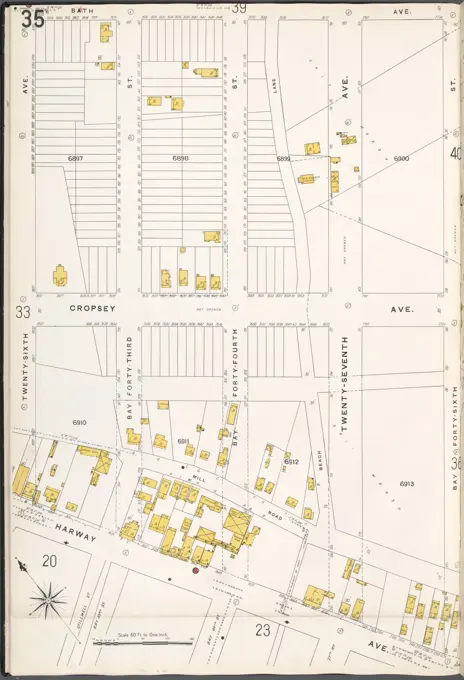
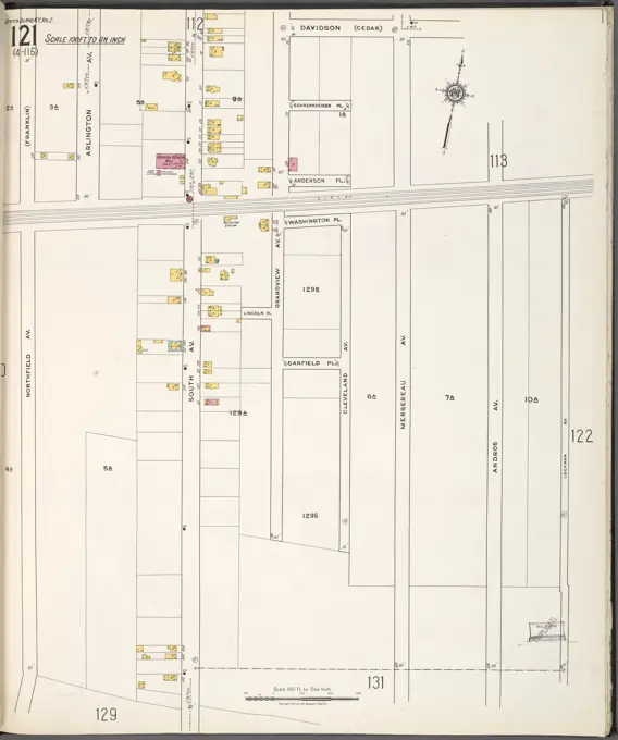
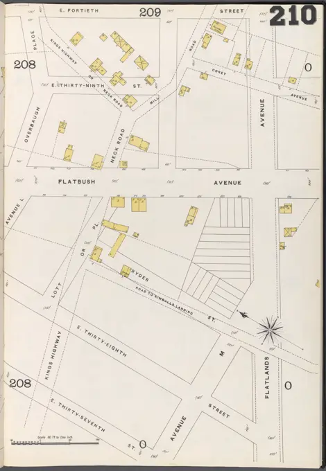
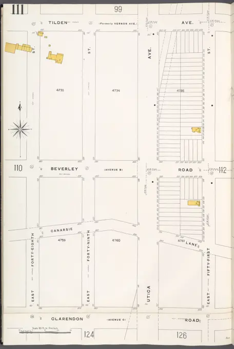
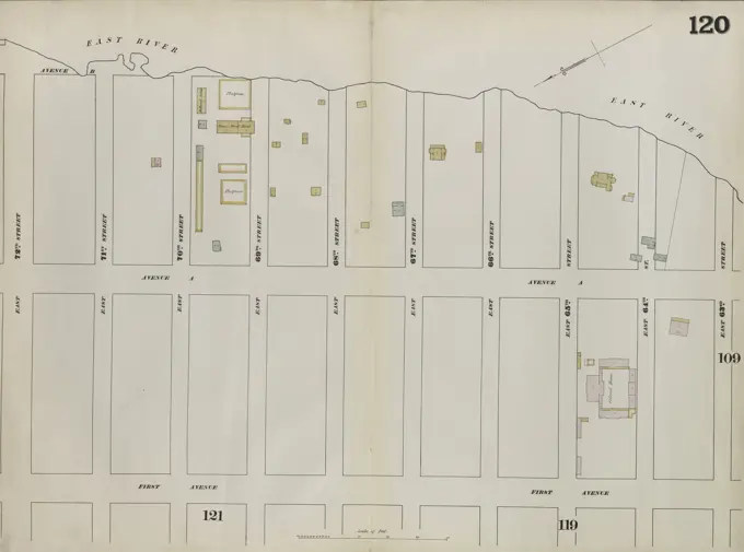
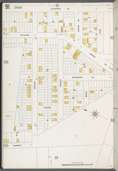
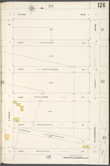
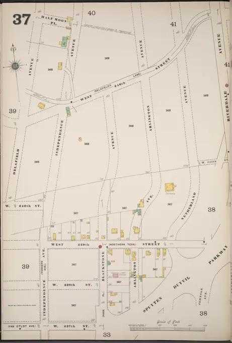
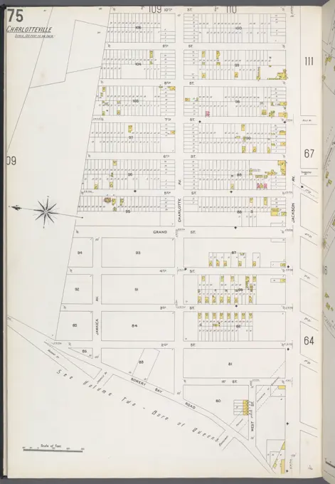
Historic Fire Insurance Maps
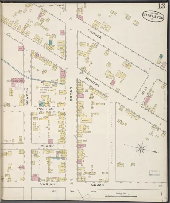
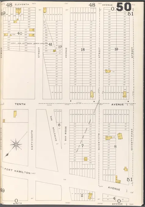
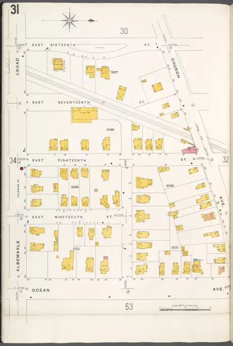
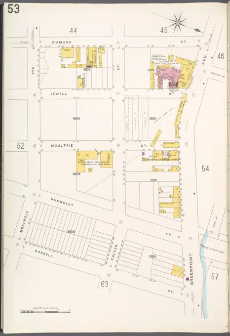
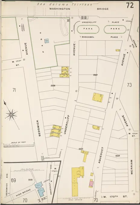
Detailed vintage maps of various neighborhoods in New York State, showcasing property layouts and city planning from 1884 to 1936.

Detailed vintage maps of various neighborhoods in New York State, showcasing property layouts and city planning from 1884 to 1936.