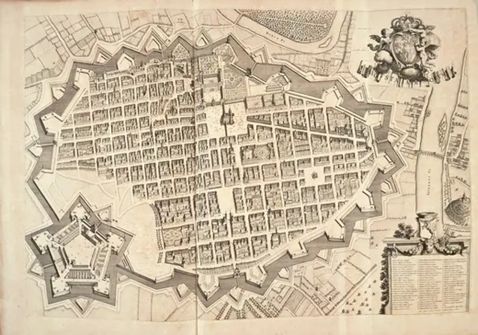
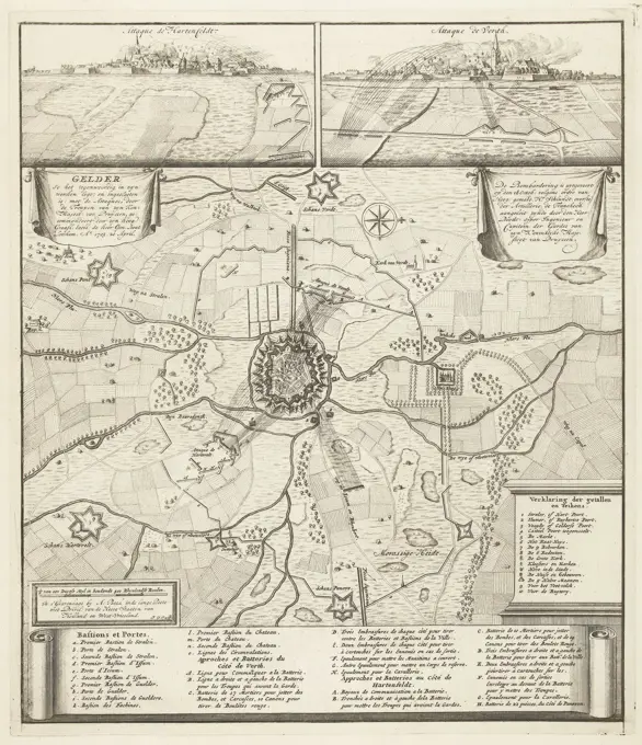
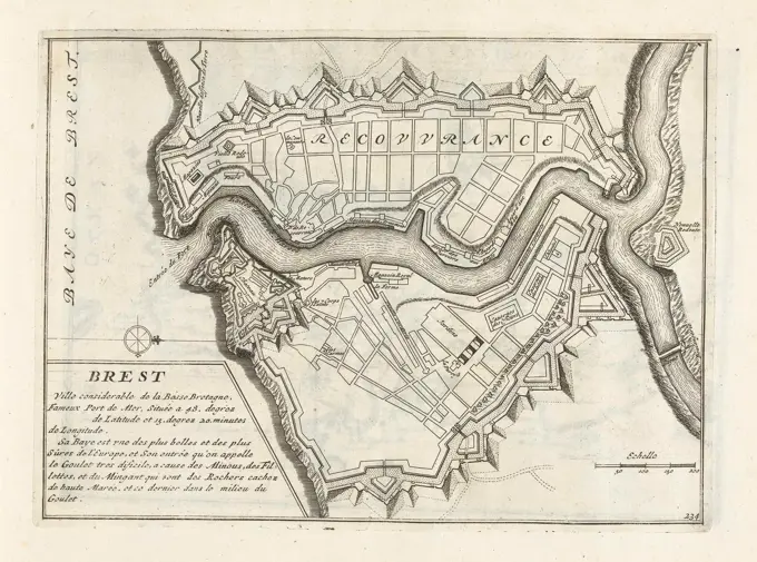
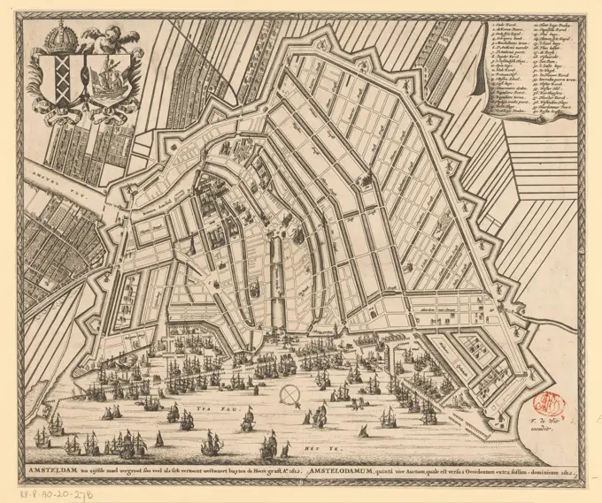
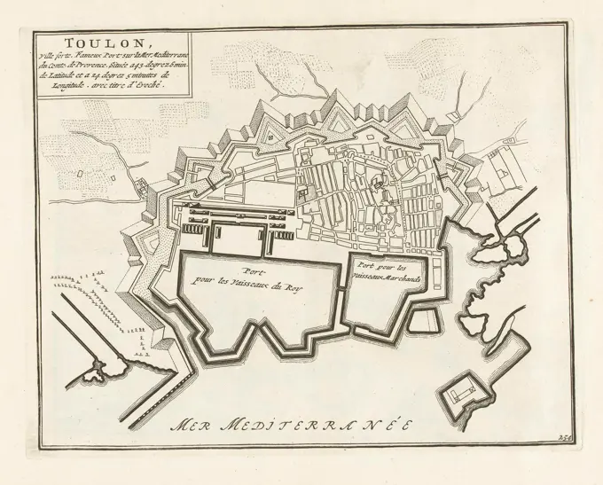
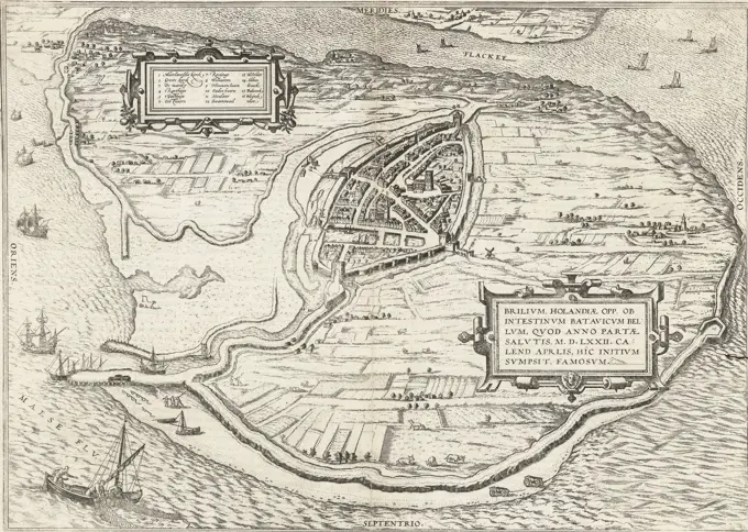
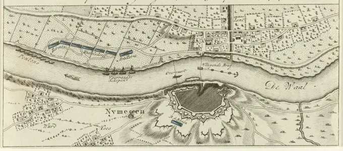
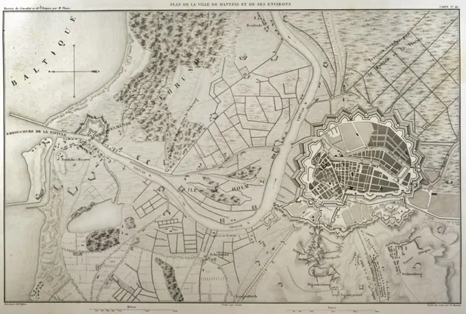
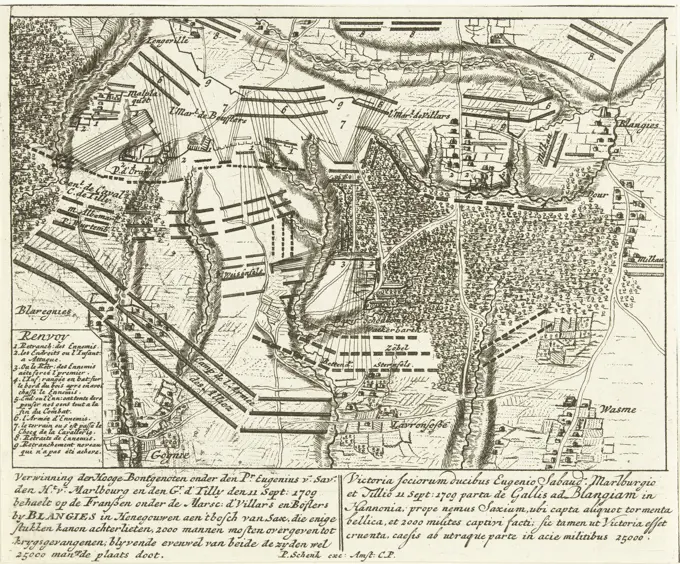
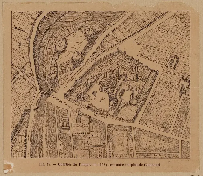
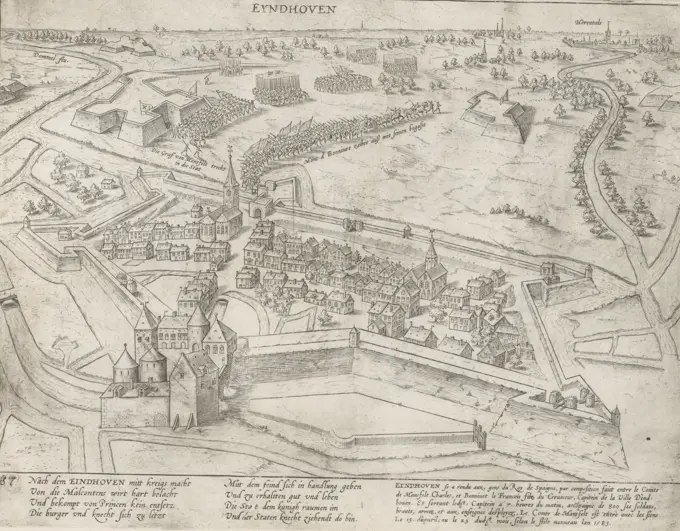
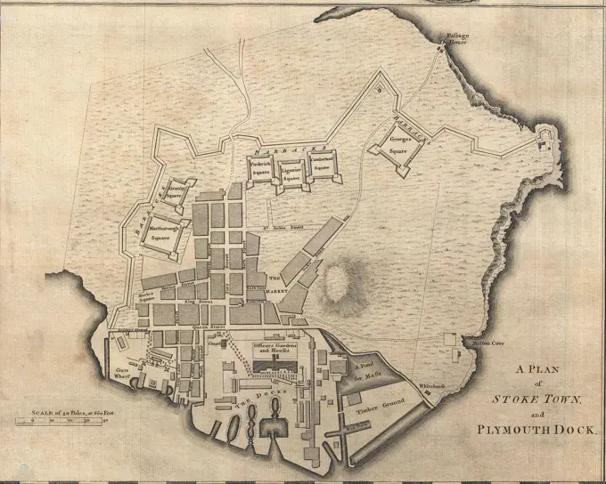
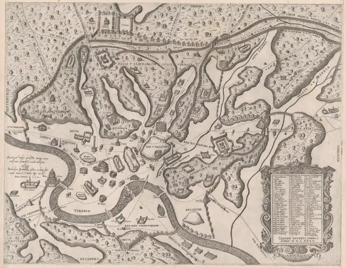
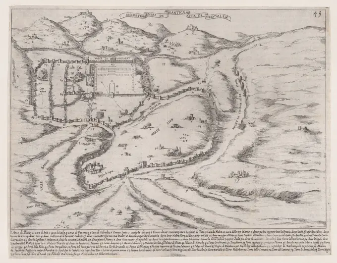
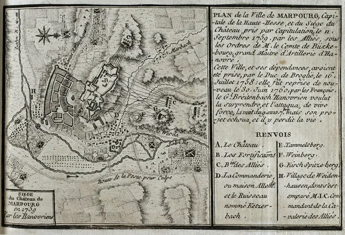
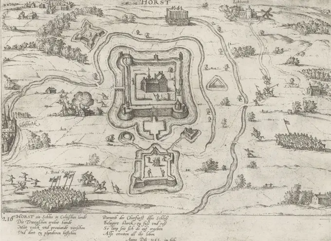
Historic Maps of Gardens and Sieges

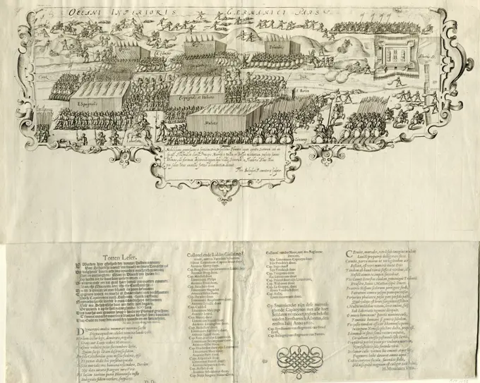
Collection of historic maps illustrating gardens and military sieges from the 17th century. Includes intricate details like city layouts and army positions.

Siege of Hulst by Frederik Hendrik, 1645, 1645 print Siege and conquest of Hulst by the State Army under Frederik Hendrik from 28 September to 5 November 1645. Plan of the city of Hulst and the surrounding country with the surrounding and the army camps of the besiegers. On the right the drowned land of Saeftinghe. At the bottom left some riders. A text sheet belongs to the print. Northern Netherlands paper etching maps of separate countries or regions. siege, position war Holly