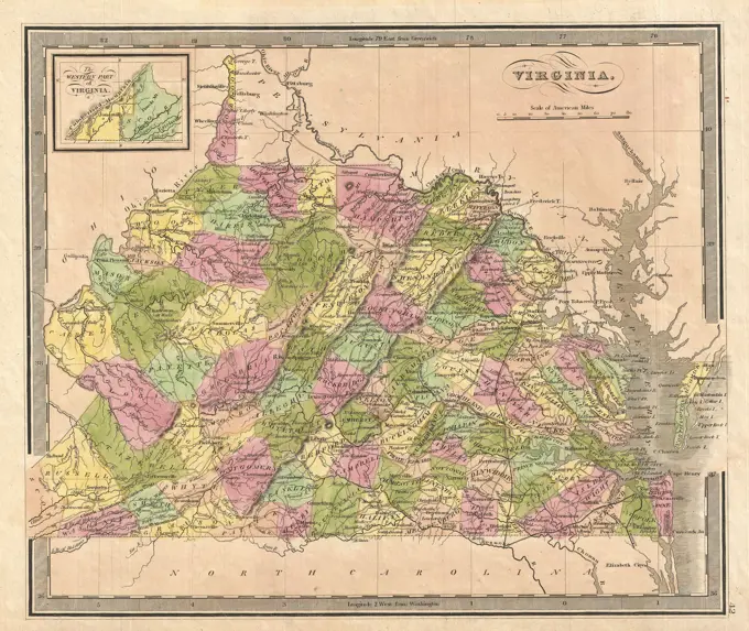
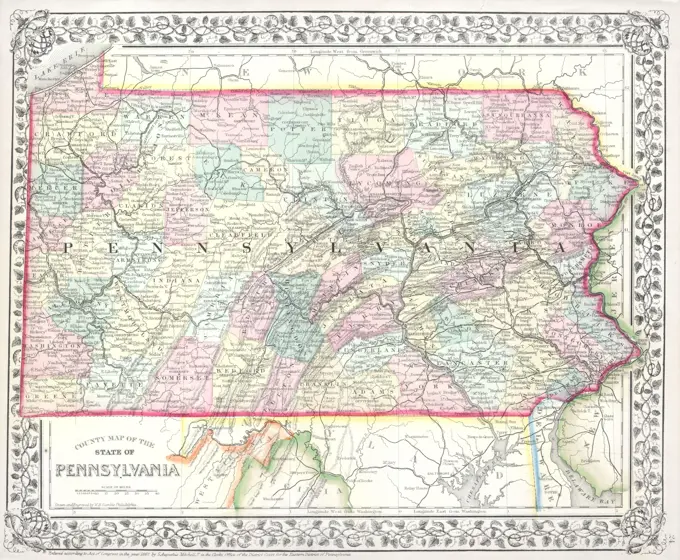
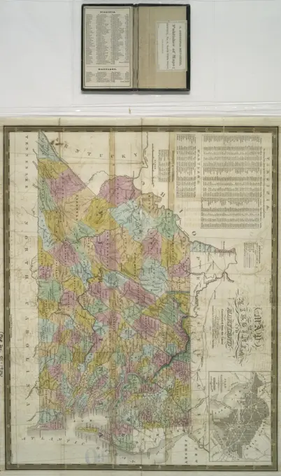
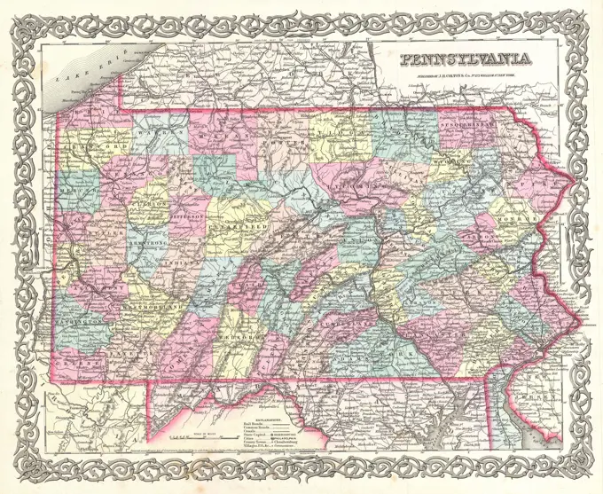
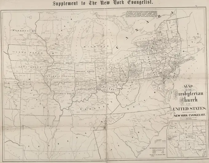
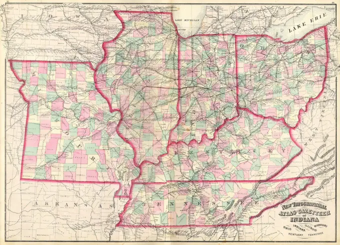
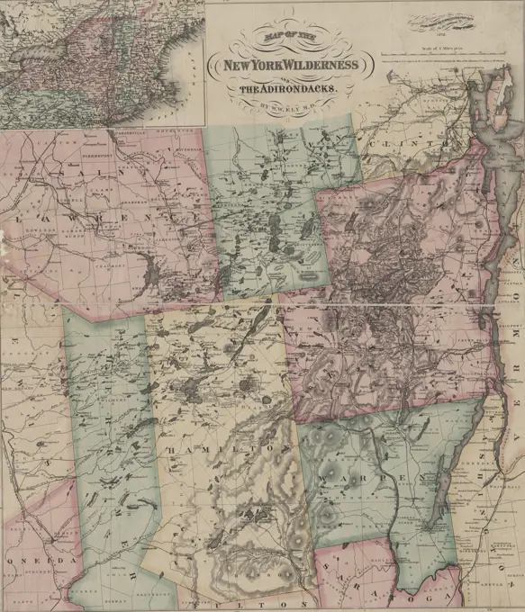
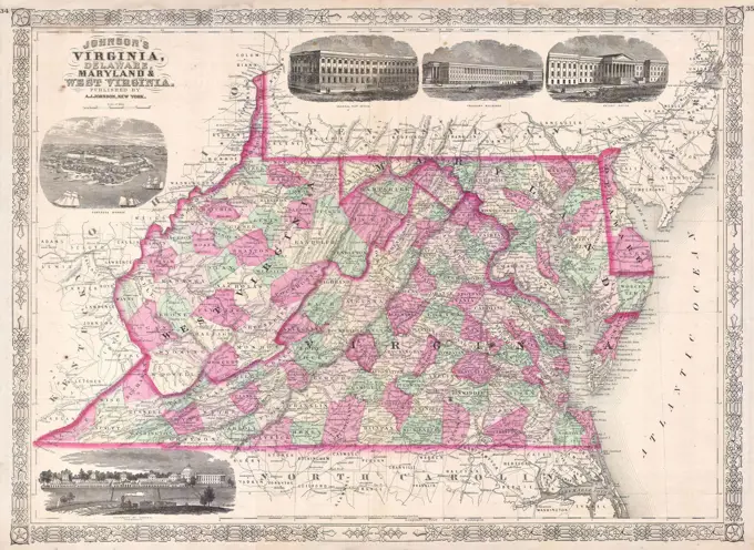
Historic Maps of the Mid-Atlantic

Detailed maps showing postal routes and state boundaries in the Mid-Atlantic region, including Pennsylvania, New Jersey, Delaware, and Maryland. Vintage and historically significant.

Post route map of the states of Pennsylvania, New Jersey, Delaware, and Maryland and of the District of Columbia with adjacent parts of New York, Ohio, Virginia, and West Virginia : showing post offices with the intermediate distances and mail routes in operation on the 1st of October 1891 , Counties, Middle Atlantic States, Maps, Postal service, Middle Atlantic States, Maps, Railroads, Middle Atlantic States, Maps, Pennsylvania, Maps, New Jersey, Maps, Maryland, Maps, Delaware, Maps, Washington D.C., Maps Norman B. Leventhal Map Center Collection