My Boards
View Pictures
  • My Boards

Historic Massachusetts Land Maps

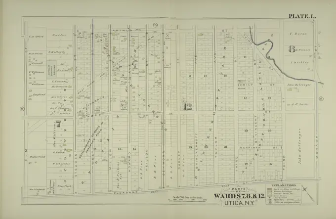
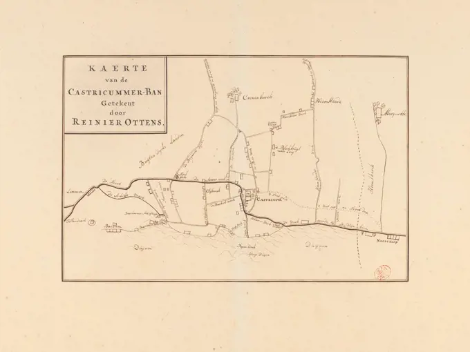
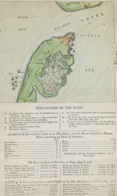
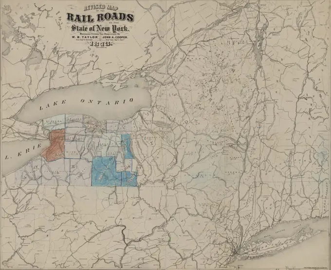
A collection of vintage maps depicting various towns and wards in Massachusetts, showcasing land surveys, property details, and scenic layouts from the 18th and 19th centuries.

Plan of New Bedford surveyor's name not given, dated February 1795. ,. Massachusetts. Office of the Secretary of State
349 assets in this story
6145-50562924
Plan of Reading and Lynnfield, made by Daniel Needham, dated November 1794. Scale 200 rds to 1 in. ,. Massachusetts. Office of the Secretary of State
6145-48718738
Map of the seat of war, showing disputed territory, and the boundary lines claimed by Maine & Great Britain and that proposed by the King of the Netherlands , Maine, Maps, Northeast boundary of the United States, Maps, United States, Boundaries, Canada, Maps, Canada, Boundaries, United States, Maps Norman B. Leventhal Map Center Collection
6145-48712904
Plan of Dover made by William Ellis, dated 1831 ,. Massachusetts. Office of the Secretary of State
6145-50511243
Plan of Danvers made by John W. Proctor, dated 1832 ,. Massachusetts. Office of the Secretary of State
6145-50443940
Jansen Hermann (1869-1945), development plan of the Self-Help Krähenberg settlement in Caputh an der Havel (01.10.1927): Phase II. (Break break from Inv.No. 21444): Overview plan 1: 2500, scale bar. Ink and pencil over a break on a banner, 111.3 x 121.4 cm (including scan edges) Jansen Hermann  (1869-1945): Bebauungsplan der Siedlung Selbsthilfe Krähenberg, Caputh
6145-54269187
Richmond and its defences : constructed and engraved to illustrate "The war with the South". Entered according to act of Congress AD. 1863, by Virtue, Yorston & Co. in the clerk's office of the district court of the United States, for the southern district of N.Y. Signed (facsimile): Charles: Sholl, Topl. Engineer. Relief shown by hachures. Shows roads, rivers, railroads and batteries. From: Tomes, Robert. The war with the South. New York, Virtue & Yorston, 1862-1867. v. 2, between p. 236 and 237... Richmond and its defenses Topographical map of Richmond and its vicinity, showing all batteries in existence : this is the most reliable map ever made of this vicinity. Richmond and its defenses Topographical map of Richmond and its vicinity, showing all batteries in existence : this is the most reliable map ever made of this vicinity, Virginia  , Richmond
6145-50562966
Plan surveyed by Osgood Carleton of Township No. 3 (Garland), granted Williams College, dated 1794-5. ,. Massachusetts. Office of the Secretary of State
6145-51391918
Carte itinéraire des monuments mégalithiques de la région de Carnac (Morbihan) , Megalithic monuments, France, Carnac, Maps, Carnac France, Maps, Musée de préhistoire Carnac, France Norman B. Leventhal Map Center Collection
6145-54269030
Plan of Warren (Western), surveyor's name not given, dated October 24, 1831.... , Massachusetts  , Worcester  ,county   , Warren
6145-48569113
Richmond and its defences : constructed and engraved to illustrate 'The war with the South' , Fortification, Virginia, Richmond, Maps, Richmond Va., History, Civil War, 1861-1865, Maps Norman B. Leventhal Map Center Collection
6145-51398125
Philips' sketch map of the Klondike gold region, Yukon district, Dominion of Canada : compiled from the latest authentic sources and from information supplied by the Klondyke Parent Pioneer Corporation , Mining claims, Yukon, Klondike River Valley, Maps, Klondike River Valley Yukon, Maps Norman B. Leventhal Map Center Collection
6145-44076128
Plan from the Atta of the Schellenberg Bey Donauwerth as the same from the frantzoses and Bavaria Fortificiret and the 2nd July 1701 from the Keyserial and English Army under Commando of the Keyserial ... Mr. General Lieutenant Durch. Marggraff Louis of Baden and the Duc de Marlboroug, Attachiret and has been conquered
6145-30342364
unknown artist, A Collection of Surveys of Scottish Estates of the Earl of Selkirk: Little Kirkland, undated. Graphite, watercolor, gray wash, pen and black ink on slightly textured, moderately thick, cream wove paper.
6145-54268650
Plan of Hamilton made by A. Brown, dated 1831.... , Massachusetts  , Essex  ,county   , Hamilton
6145-55958428
Newark, Double Page Plate No. 35 Map bounded by Avenue B, Thomas St., Avenue K 1889. Cartographic. Atlases, Maps, Plans, Surveying. Lionel Pincus and Princess Firyal Map Division. Newark (N.J.)
6145-48713244
Plan of Warren (Western), surveyor's name not given, dated October 24, 1831 ,. Massachusetts. Office of the Secretary of State
6145-42627518
N.N., Hafen, Sassnitz: site plan 1: 2000. Lithograph on paper, 69 x 122.9 cm (including scan edges)
6145-55924616
Cartographic, Maps. 1899. Lionel Pincus and Princess Firyal Map Division. Brooklyn (New York, N.Y.), Real property , New York (State) , New York Double Page Plate No. 24: Bounded by E. 76th St., Avenue T, E. 77th St., Avenue V, E. 76th St., (Jamaica Bay) Avenue Y, E. 69th St. and Avenue N Part of Ward 32, Land Map Section, No. 25, Volume 3, Brooklyn Borough, New York City
6145-55955170
Map of Niagara Falls, and guide table: being a complete directory and guide to the Falls and vicinity, for remark on the spot or for reference at home Map and guide of Niagara Falls Map of Niagara Falls, and adjoining shores Bird's eye view of Niagara Strait Whirlpool Cartographic. Maps. 1840. Lionel Pincus and Princess Firyal Map Division. Niagara Falls (N.Y. and Ont.), Niagara Falls (N.Y. and Ont.) , Guidebooks, North America , Niagara Falls (N.Y. and Ont.)
4443-75470676
Parts of Wards 7, 8, & 12, 1883., 1883., Philadelphia. Publisher, G.M. Hopkins, Utica (N.Y.)
6145-54269524
Walworth County, Wis.. Manuscript title in ink in upper margin. Manuscript map in pen and ink. Part of a set of manuscript maps of Wisconsin counties. Shows townships and sections, rivers, railroads, stations and other features.... , Wisconsin  , Walworth  ,county
6145-48718531
Plan of Boston showing existing ways and owners on December 25, 1640 , Homeowners, Massachusetts, Boston, Maps, Landowners, Massachusetts, Boston, Maps, Boston Mass., History, Colonial period, ca. 1600-1775, Maps Norman B. Leventhal Map Center Collection
6145-48568495
Revised plan of house lots belonging to the Duxbury Shore Co : Duxbury, Mass., July 1871 , Real property, Massachusetts, Duxbury, Maps, Duxbury Mass., Maps Norman B. Leventhal Map Center Collection
6145-55958426
Newark, Double Page Plate No. 34 Map bounded by Avenue L, Ferry St., Passaic River, Thomas St. 1889. Cartographic. Atlases, Maps, Plans, Surveying. Lionel Pincus and Princess Firyal Map Division. Newark (N.J.)
6145-50568856
Philips' sketch map of the Klondike gold region, Yukon district, Dominion of Canada : compiled from the latest authentic sources and from information supplied by the Klondyke Parent Pioneer Corporation , Mining claims, Yukon, Klondike River Valley, Maps, Klondike River Valley Yukon, Maps Norman B. Leventhal Map Center Collection
6145-54269184
Revised plan of house lots belonging to the Duxbury Shore Co : Duxbury, Mass., July 1871. Cadastral map showing lot numbers, dimensions, and areas, and some building footprints including Standish House. Covers area in Standish Shore. Includes 3 illus. of houses.... , Massachusetts  , Plymouth  ,county   , Duxbury
6145-48719805
Taylor Co., West Va , Taylor County W. Va., Maps Norman B. Leventhal Map Center Collection
6176-61903659
"Rural planning and development; a study of rural conditions and problems in Canada" (1917)SS Newfoundland with Capt. W. Kean, captain at time of 1914 sealing disaster
6145-50552855
Map of the river Sabine from Logan's Ferry to 32nd degree of north latitude : shewing the boundary between the United States of America and the Republic of Texas between said points, as marked and laid down by survey in 1841, under the direction of the Joint Commission appointed for that purpose under the 1st article of the convention signed at Washington on the 25th day of April 1838 , Sabine River Tex. and La., Maps, Texas, Boundaries, Maps Norman B. Leventhal Map Center Collection
6145-55957552
Map no. I, New Netherland New Netherland Map of  New Netherland Cartographic. Maps. 1897. Lionel Pincus and Princess Firyal Map Division. Railroads , New York (State), Railroads , New York (State) , New York Region, New Netherland, New York Region
4443-21773640
Manuscript map of the banne (right area) Castricum with on the top left the title, Map of the banne Castricum Kaert of the Castricummer-ban drawn by Reinier Ottens., draughtsman: Reinier Ottens (I), (mentioned on object), draughtsman: Reinier Ottens (II), (mentioned on object), Amsterdam, 1708 - 1793, paper, pen, h 216 mm × w 330 mm
4443-73251660
London, Westley, RH, England, On exact Plan of the Capture of the Helder & Port of the Texel 27th of August 1799, Map of the head of North Holland and Texel, captured by the British, 1799, verso - stamped, English map of the head of North Holland with Den Helder and the port of Texel, captured by the English during the invasion on 27 August 1799. Also a squadron of English shovels off the coast at Callantsoog. Below the map the legend AI, a list of the captured Dutch ships in the Nieuwe Diep, a list of the English warships and a list of the Dutch ships captured at Texel on 30 August 1799., print, prent, map, prints, Frederik Muller Historieplaten, height 415 mm, width 255 mm, print maker, printmaker, 1799-09 - 1799-09, paper, papier, etching, etchings, hand colouring, letterpress printing, Publication (Event), Publicatie, publisher
6176-67050635
Plan of Spithead showing the Proposed Evolutions at the Review of the Fleet by Her Majesty, on Wednesday the 23rd April, 1856. Map showing Royal Navy ships off the coast of Hampshire. Also shown are: position of the Royal Yacht, Southsea Castle, Langston and Portsmouth Harbours, Osborn House and Cowes. From "Illustrated London News", 1856.
6145-55167171
Map of Hyde Park and Milton. Copyright by Geo. W. Walker & Co., 1900, 1904 and 1907.... , Massachusetts  , Suffolk  ,county   , Boston  , Hyde Park Massachusetts  , Norfolk  ,county   , Milton
6145-54269592
Woodland Cemetery in Dorchester and Roxbury main entrance on Walk-Hill Street : five miles from Boylston market, direct route through Harrison Avenue, Northampton and East Streets passing Grove Hall and through Canterbury Street to Walk Hill Street. Oriented with north toward the upper right.... , Massachusetts  , Suffolk  ,county   , Boston  , Dorchester Massachusetts  , Suffolk  ,county   , Boston  , Roxbury
6145-52359306
From Poughkeepsie (14) to Albany. Colles, Christopher, 1738-1816. Cartographic. Maps, Atlases. 1789. Lionel Pincus and Princess Firyal Map Division. Middle Atlantic States , Road maps , To 1800, United States , Road maps , To 1800
4443-75477171
Revised map of the railroads of the State of New York, 1873, Albany, N.Y., Publisher, Lith. of Weed, Parsons & Co., Railroads, New York (State), Canals, New York (State), Administrative and political divisions, 1 map 71 x 86 cm
6145-48712970
Plan of Hull, surveyor's name not given, dated May 1795. ,. Massachusetts. Office of the Secretary of State
4443-75461202
Contour plan of the new Croton Dam, created by the Aqueduct Commissioners in 1899. The map measures 30 x 48 cm and is printed on a sheet that is 36 x 56 cm. It was published by the Aqueduct Commissioners and photolithographed by Robert A. Welcke. The item is associated with water supply in New York State and specifically pertains to the New Croton Dam
6145-55957153
Map Showing the Original Topography of the Site of the Central Park with a Diagram of the Roads and Walks now under construction. January 1859 1859. Cartographic. Maps. Lionel Pincus and Princess Firyal Map Division. New York (N.Y.), Central Park (New York, N.Y.), City planning
6145-44161931
Plan of st coming with attack on 30 septebr the year 1710
6145-52359838
White House Station Village; White House Station Business Notices. ; Readington Village Cartographic. Atlases, Maps. 1873. Lionel Pincus and Princess Firyal Map Division. Hunterdon County (N.J.) , Maps
6145-48719936
Map of Webster Lake, Franklin, N.H , Webster Lake N.H., Maps Norman B. Leventhal Map Center Collection
4409-21519729
Section 19. Staten Island, 1874.
6145-48718197
The game of the detectives , Detective and mystery stories, Games Norman B. Leventhal Map Center Collection
6145-55926809
Cartographic, Maps. 1874. Lionel Pincus and Princess Firyal Map Division. Staten Island (New York, N.Y.) Part of Northfield & Westfield Section 19
6145-50531883
Bird's eye view of part of Maryland, Distr of Columbia and part of Virginia , United States, History, Civil War, 1861-1865, Aerial views, Maryland, Aerial views, Washington D.C., Aerial views, Virginia, Aerial views, 1861 Norman B. Leventhal Map Center Collection
6145-55914485
Map of Greene County, Virginia. Relief shown by hachures.... , Virginia  , Greene  ,county
6145-54269499
Via RCA : a direct marine radio service to and from ships at sea. Shows the position of RCA's multiplex marine radio stations on the Atlantic coast. Includes tables of tariffs.... , Middle Atlantic  ,area  New England  ,area
PREVIOUS
of 4
NEXT
2401 S. Ervay, Suite 206
Dallas, Texas 75215
United States
Get Started
Free ResearchMy BoardsMy Cart
For Creators
How To License Your ContentContributor PortalFrame of Mind
Resources
API accessPricing
Contact
+1 866 236 0087help@viewpictures.co.uk Contact form
©2026 View Pictures. All Rights Reserved. -B
This site is protected by reCAPTCHA and Google Privacy Policy and Terms of Service apply.