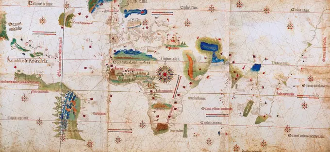
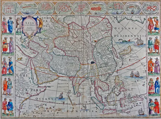
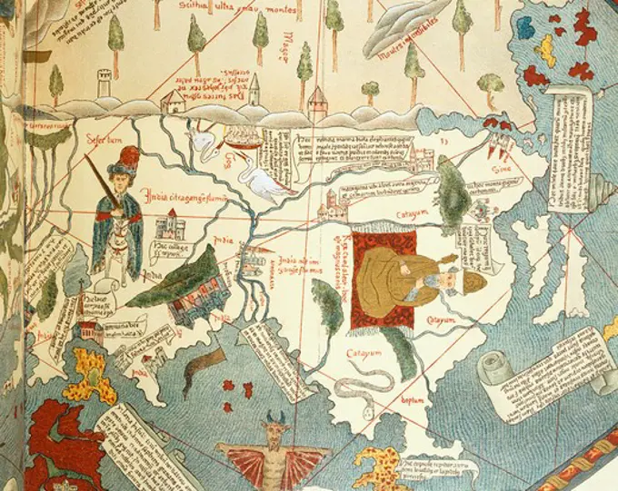
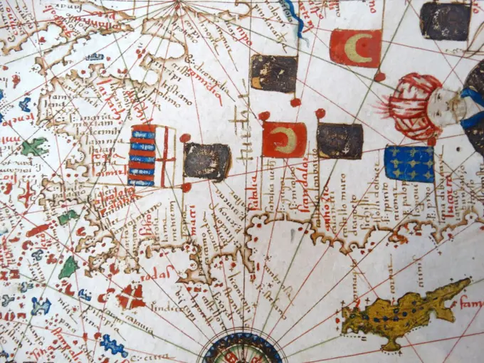
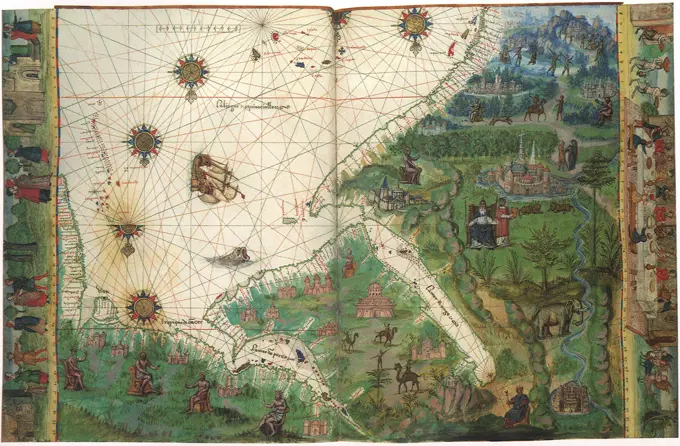
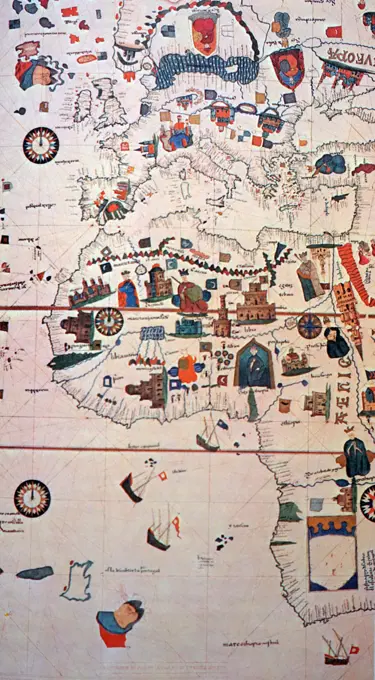
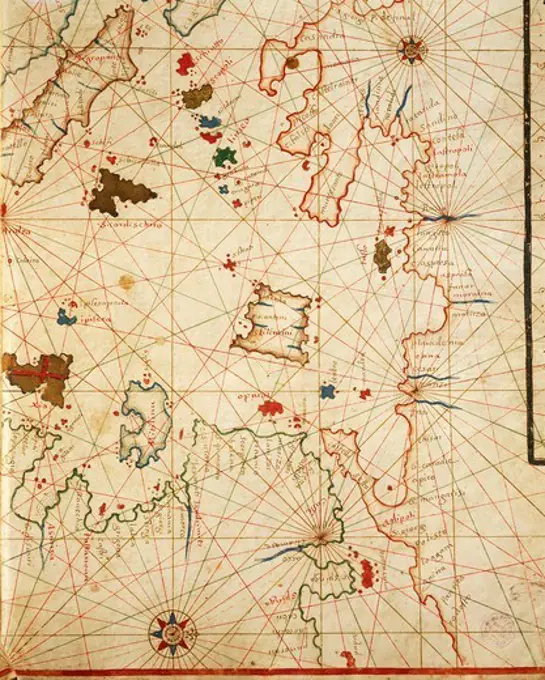
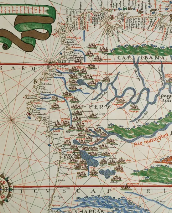
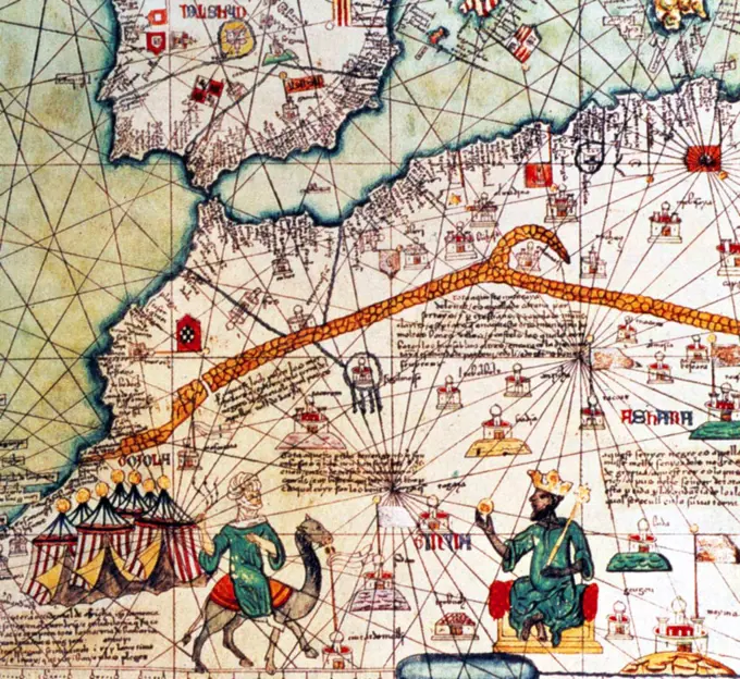
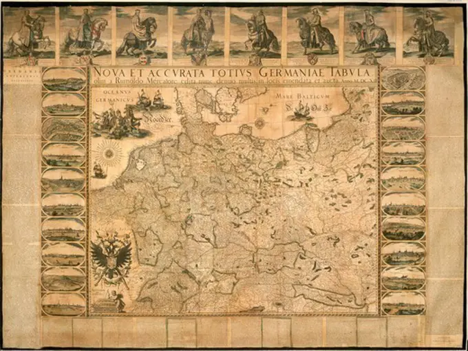
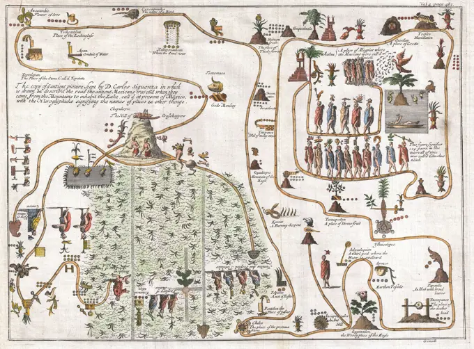
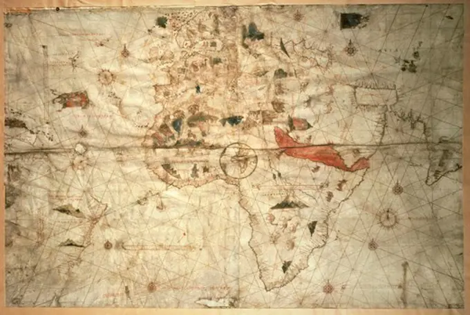
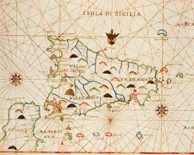
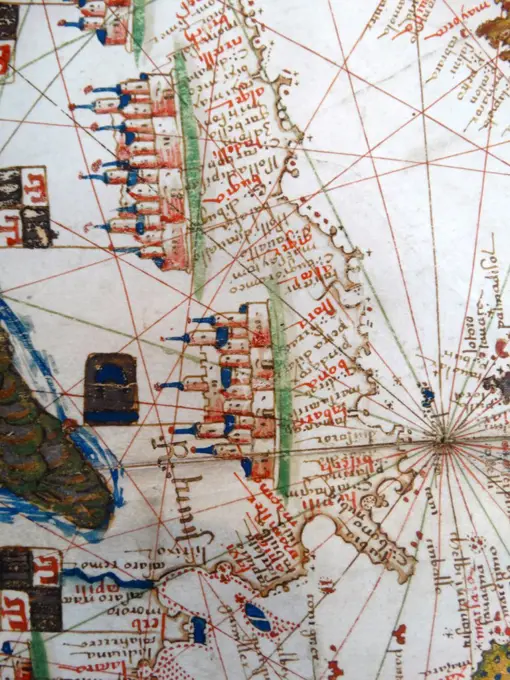
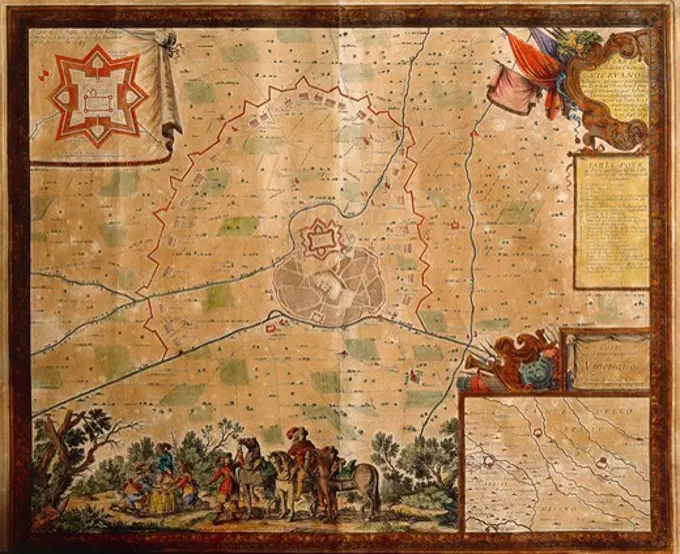
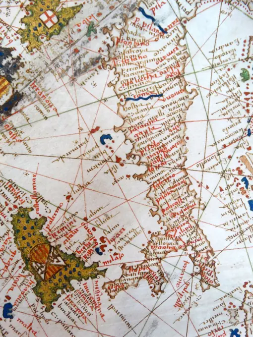
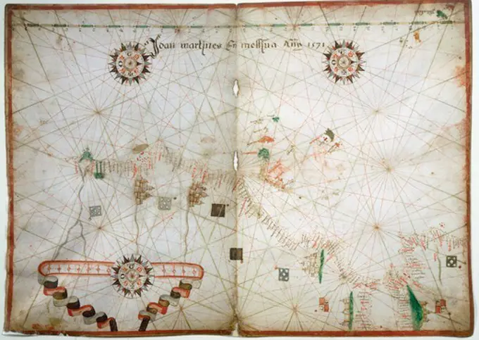
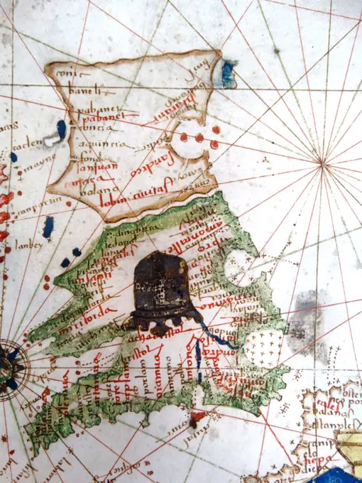
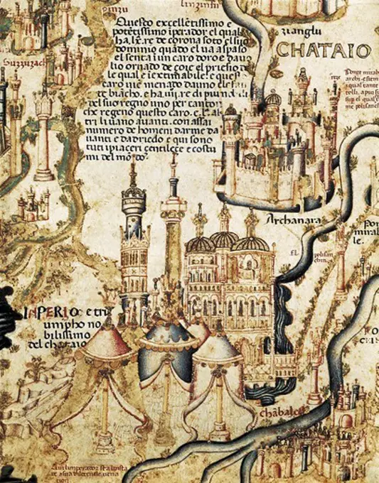
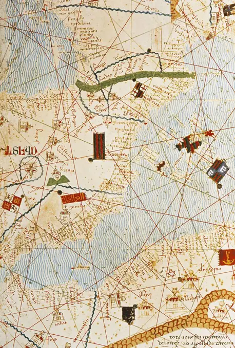
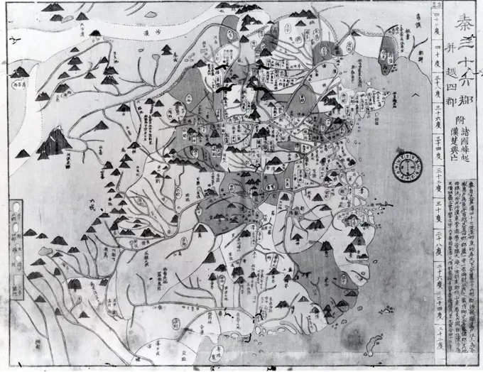
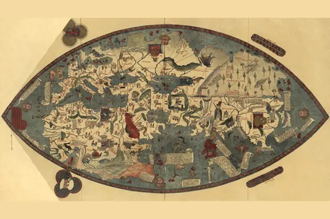
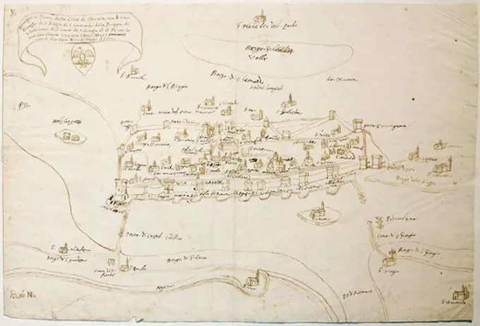
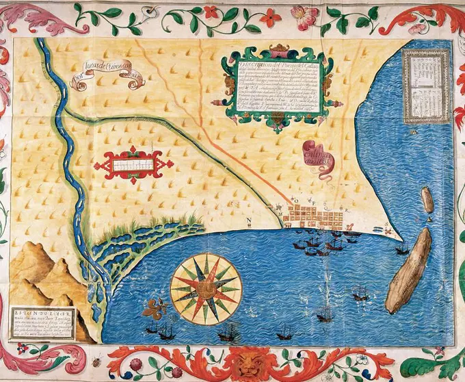
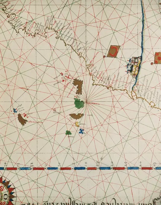
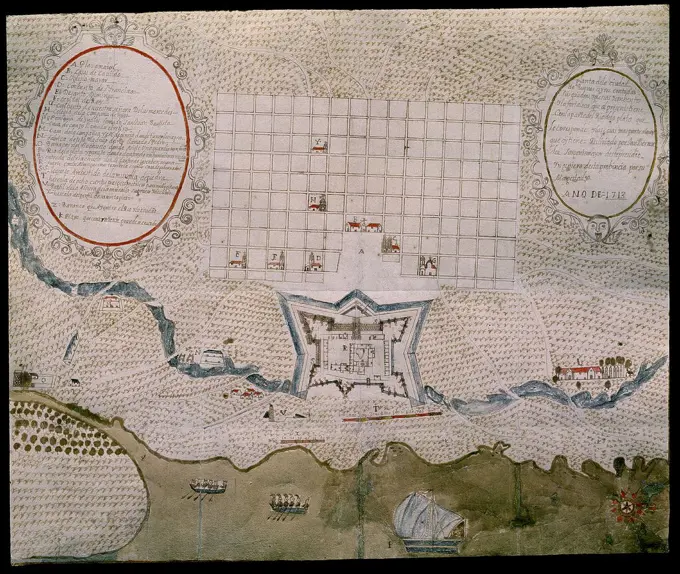
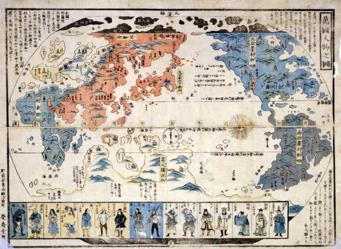
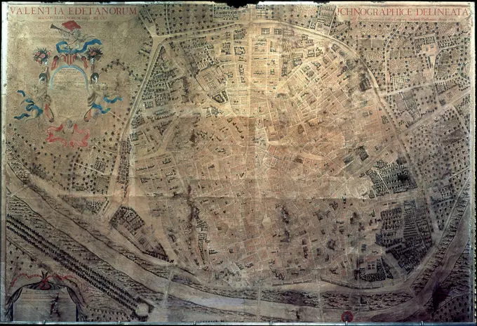
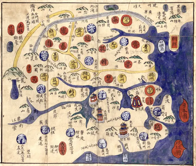
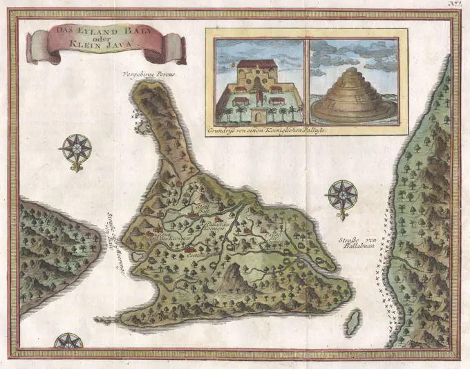
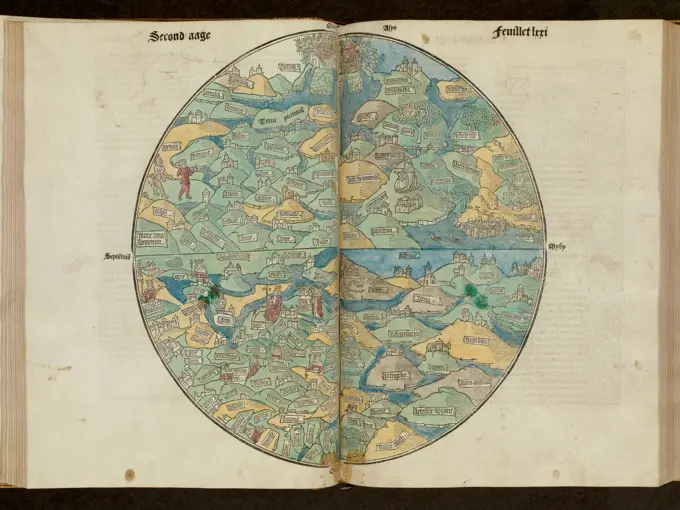
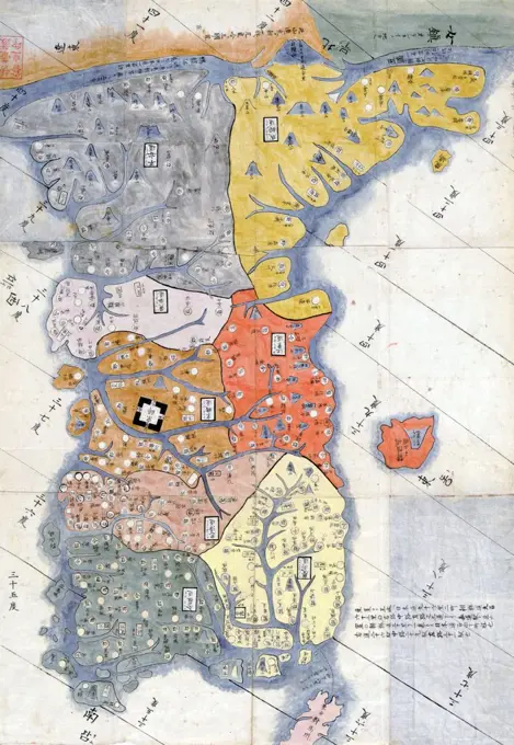
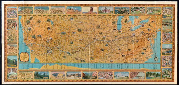
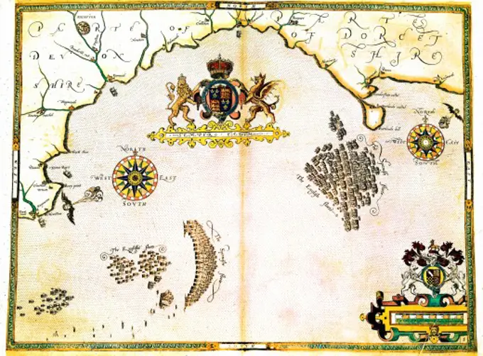
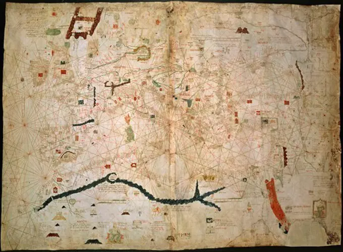
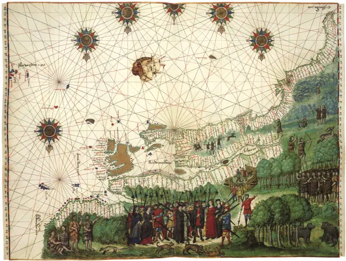
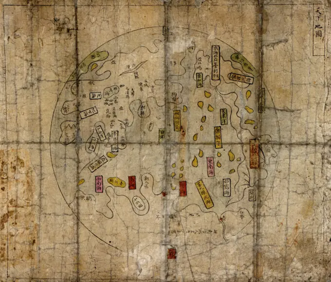
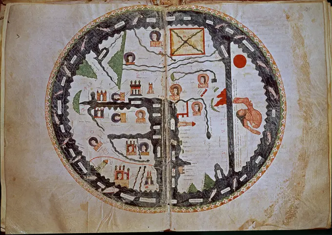
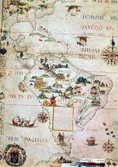
Historic Nautical Maps and Charts
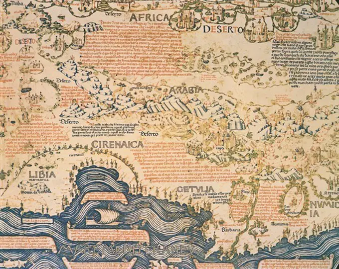
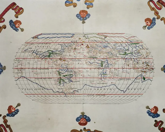
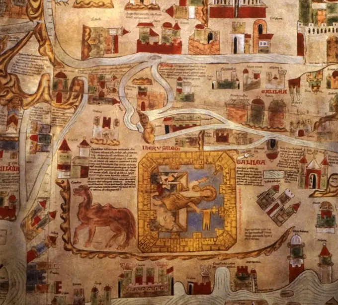
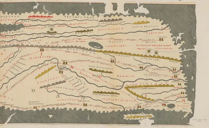
Ancient maps portraying early maritime exploration and geographical discoveries, featuring detailed illustrations of land and oceanic features from the 15th to 17th centuries.
Ancient maps portraying early maritime exploration and geographical discoveries, featuring detailed illustrations of land and oceanic features from the 15th to 17th centuries.