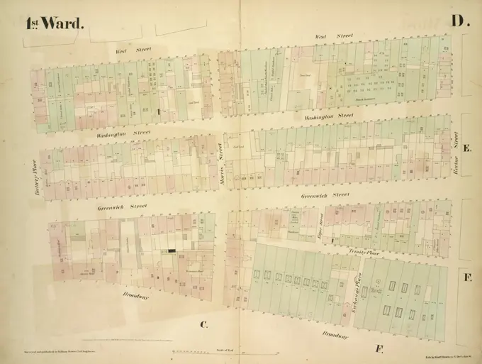
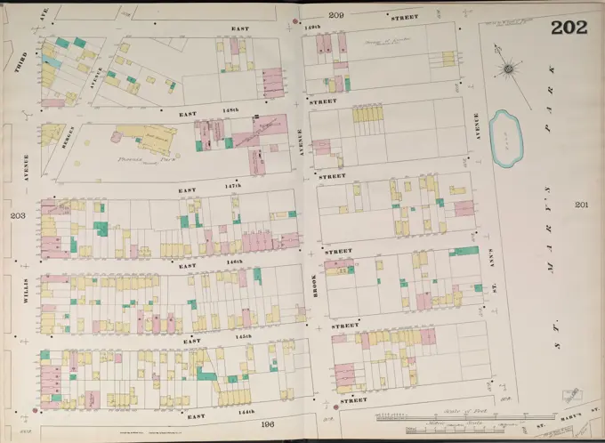
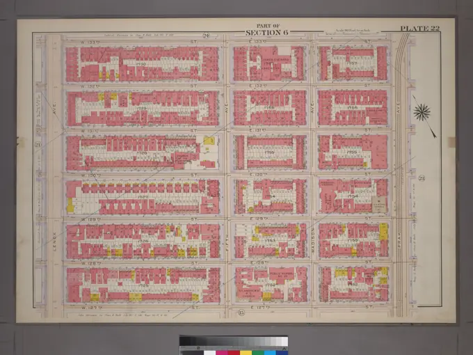
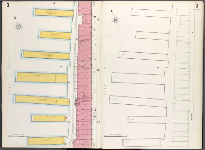
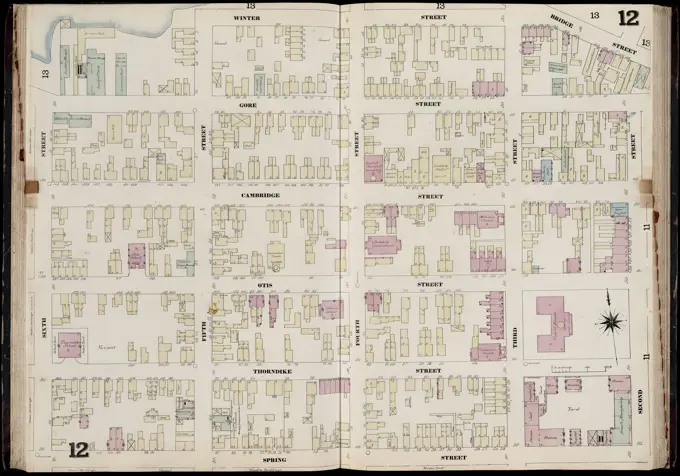
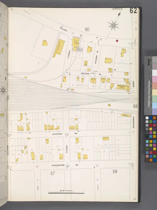
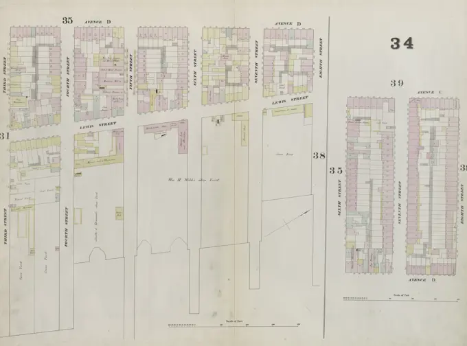
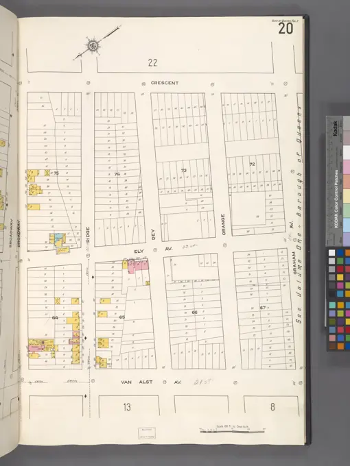
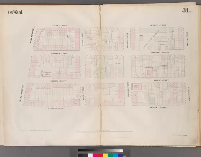
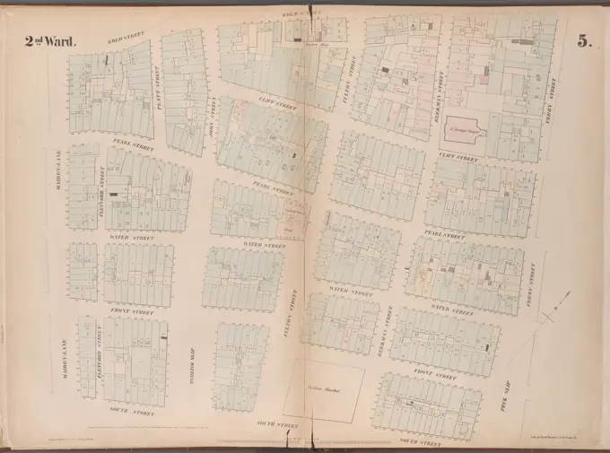
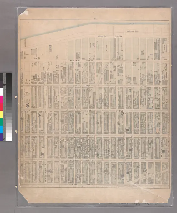
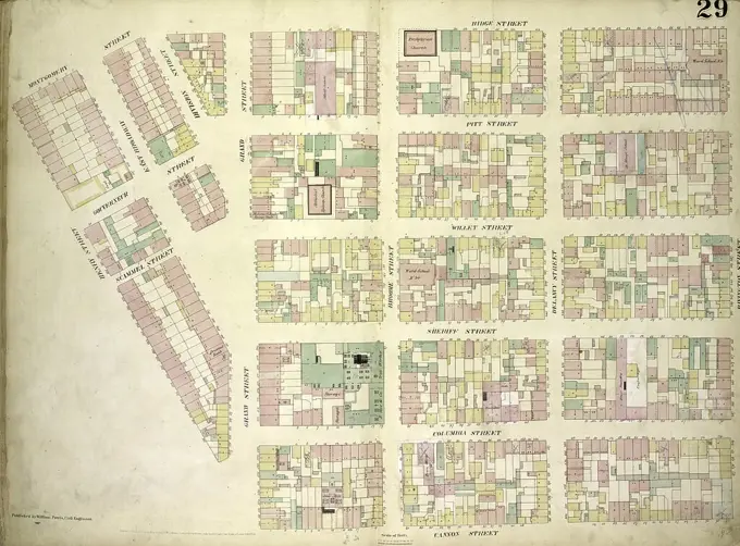
Historic New York Maps
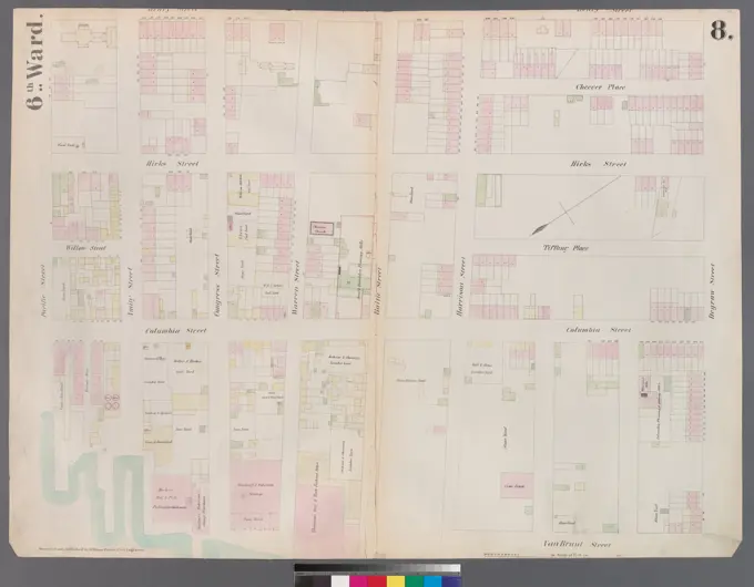
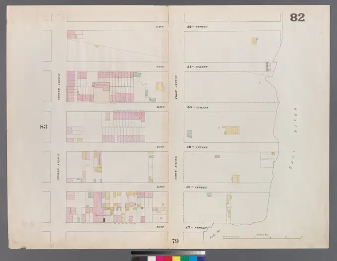
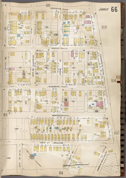
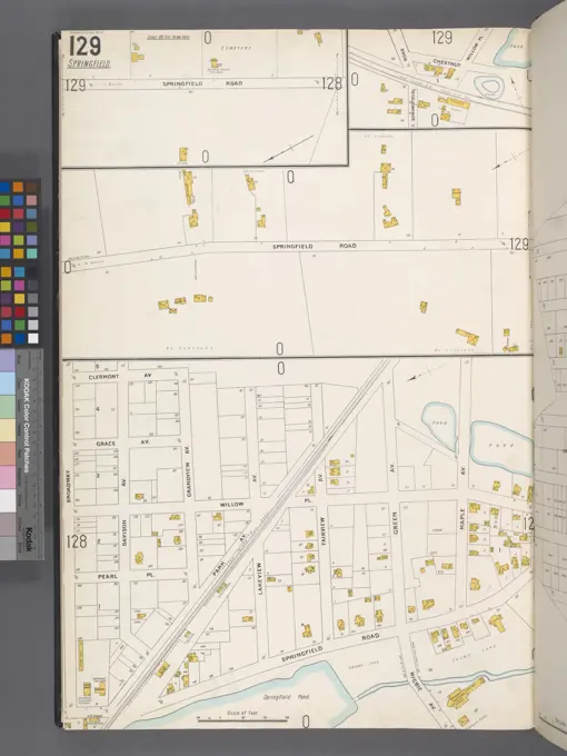
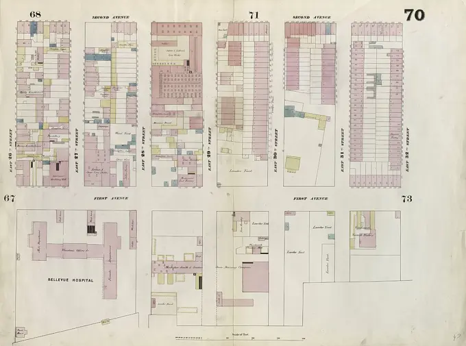
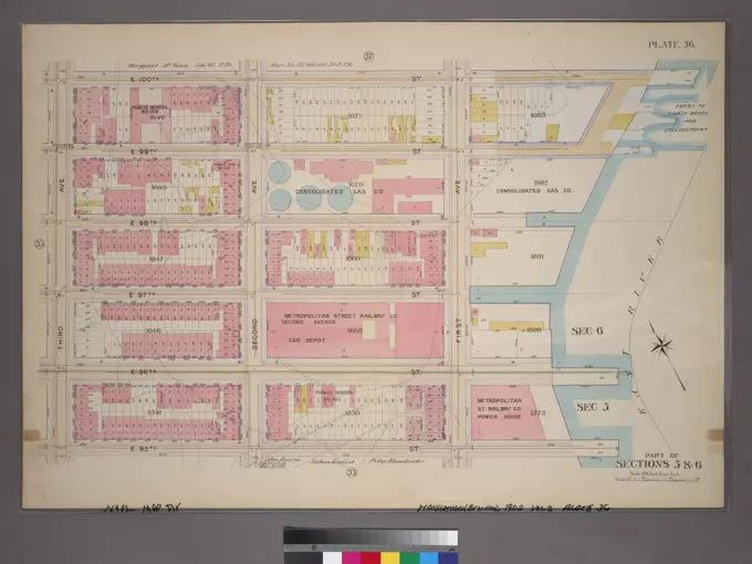
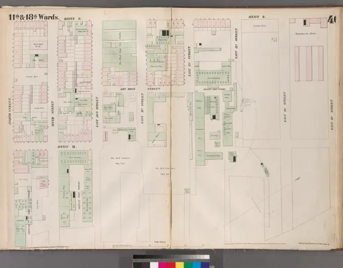
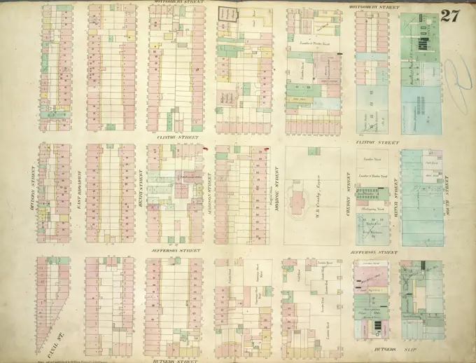
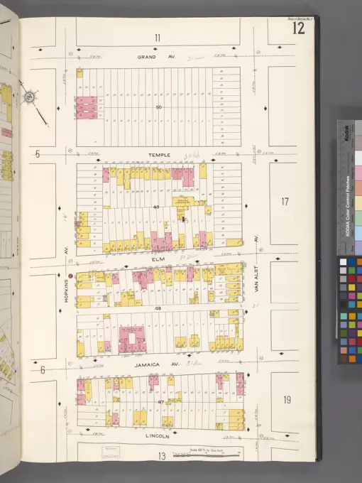
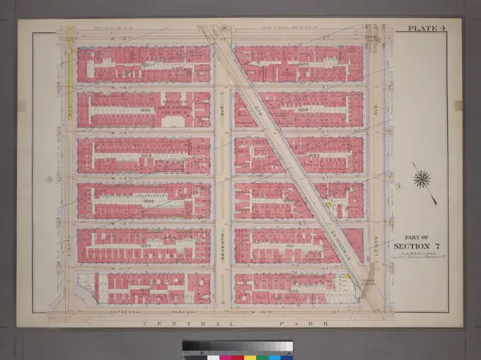
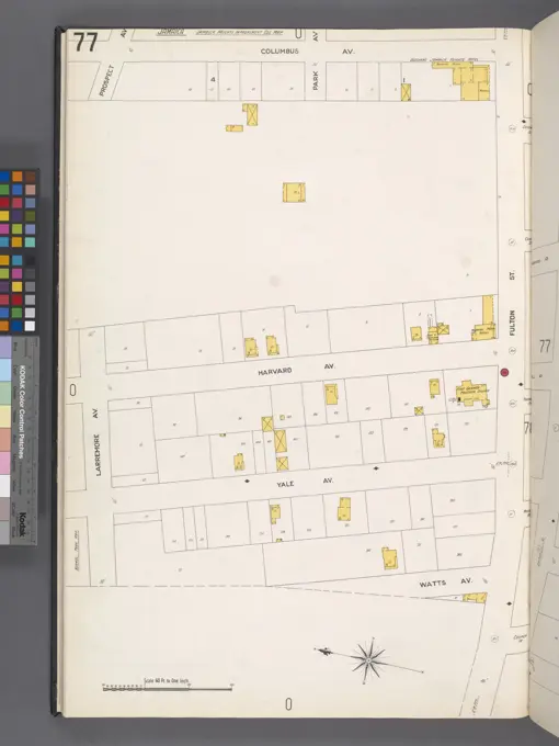
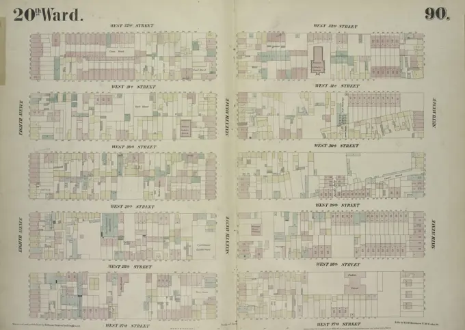
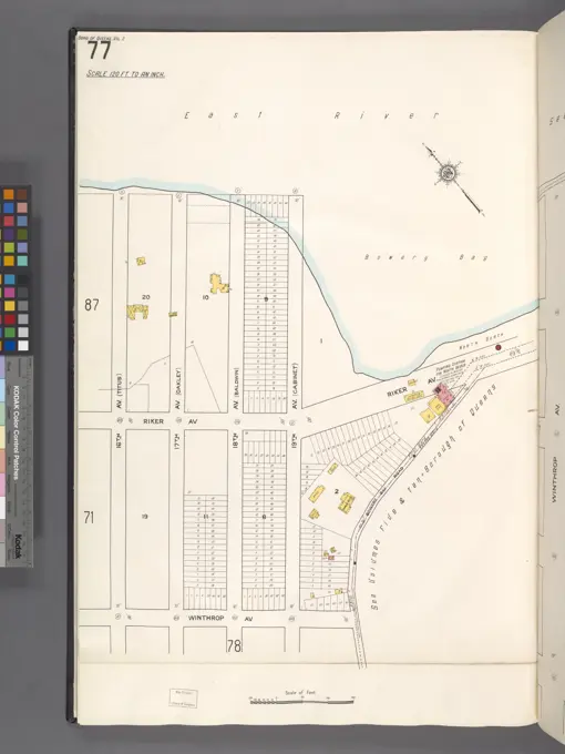
Antique maps of New York, showcasing urban layouts from the 19th century, with roads, real estate, and fire insurance details.

Antique maps of New York, showcasing urban layouts from the 19th century, with roads, real estate, and fire insurance details.