Historic New York Maps
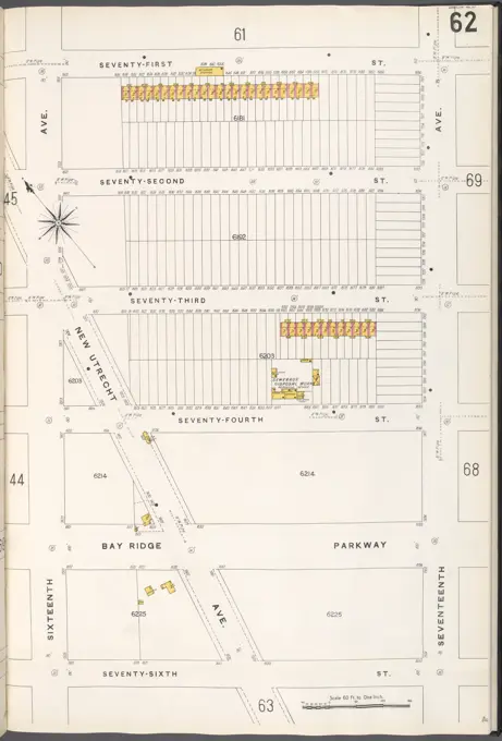
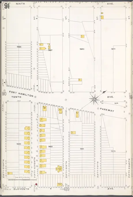
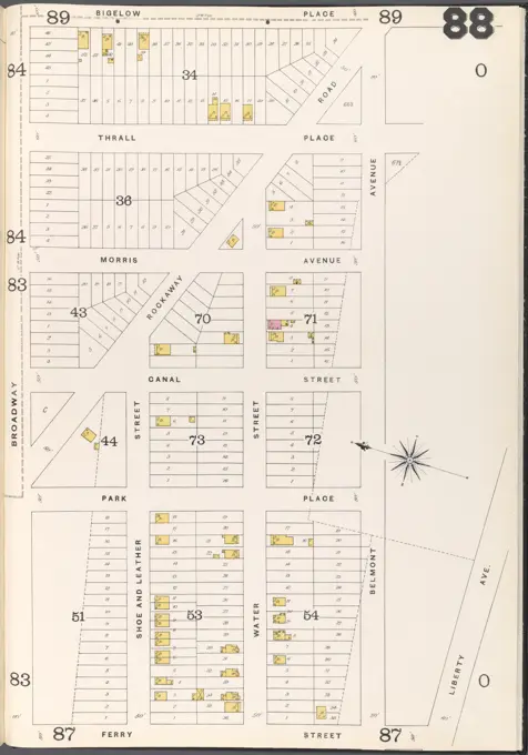
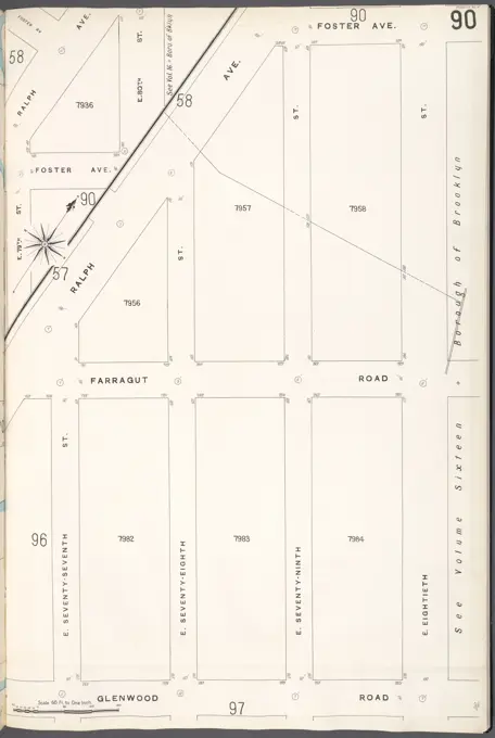
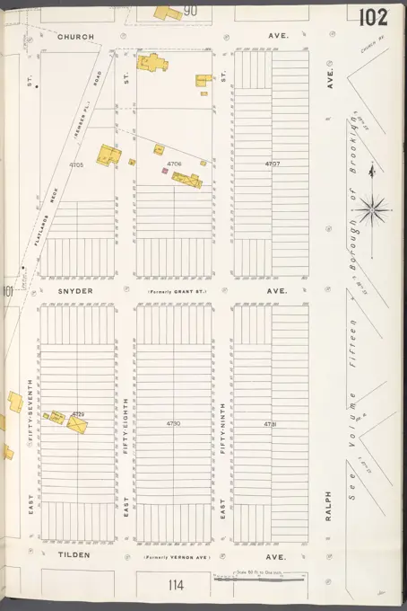
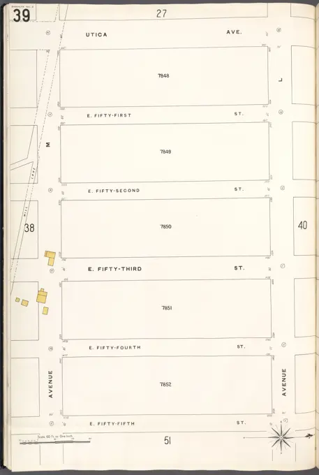
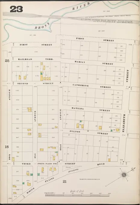
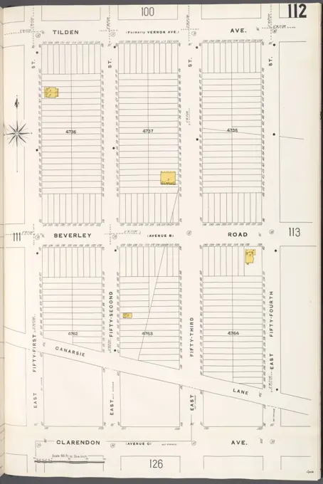
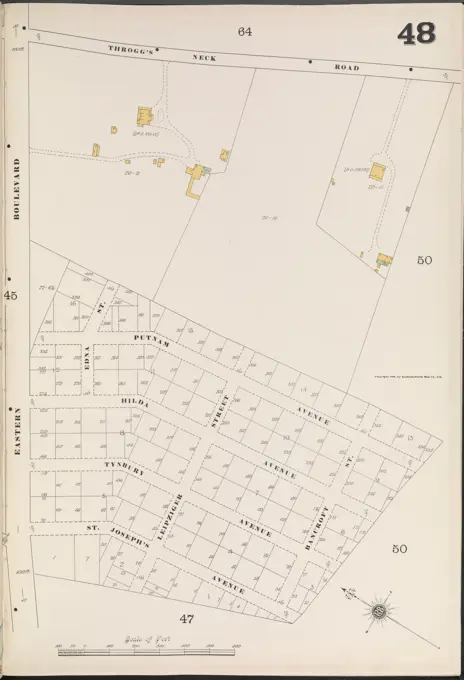
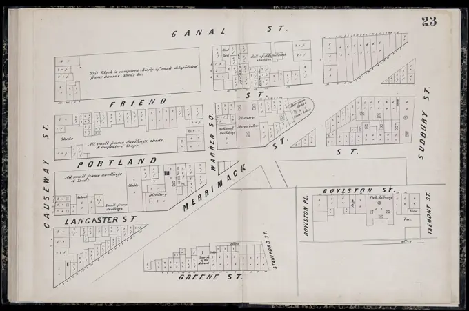
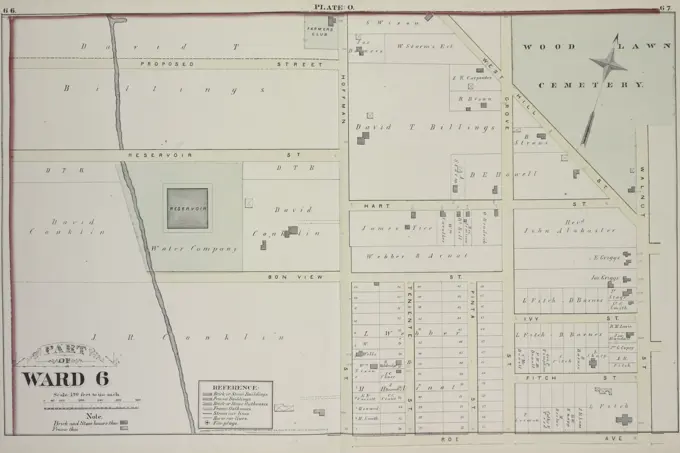
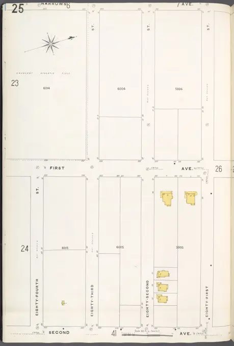
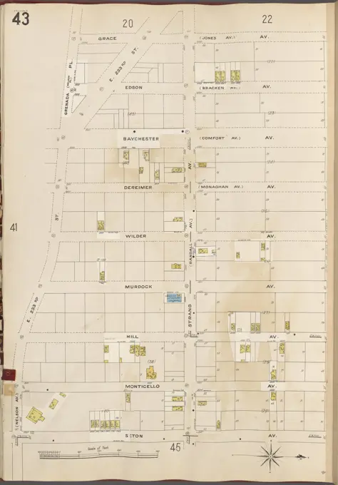
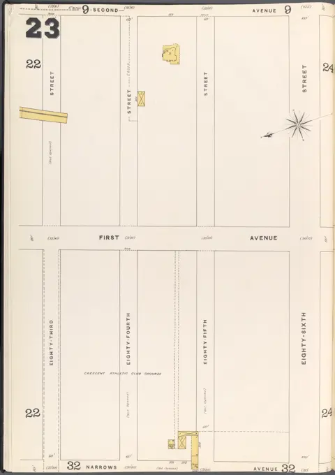
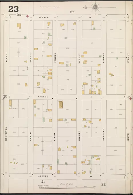
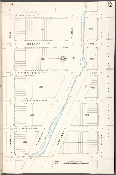
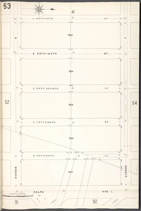
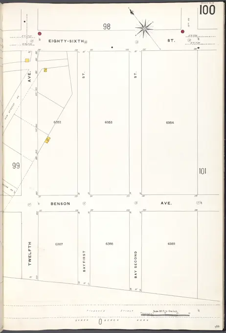
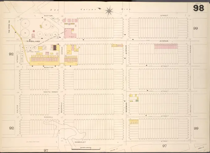
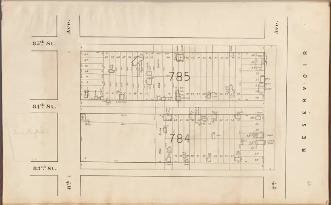
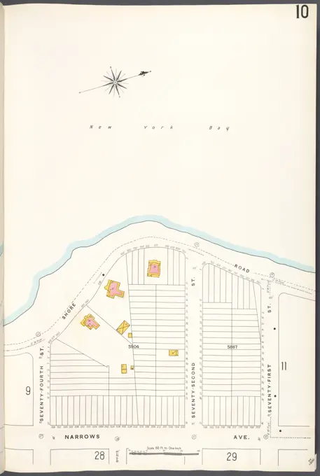
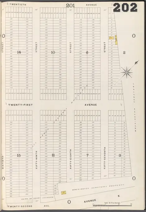
Fire insurance maps from Brooklyn, showcasing property details and street layouts. Vintage style with yellow highlights on a clean white background.

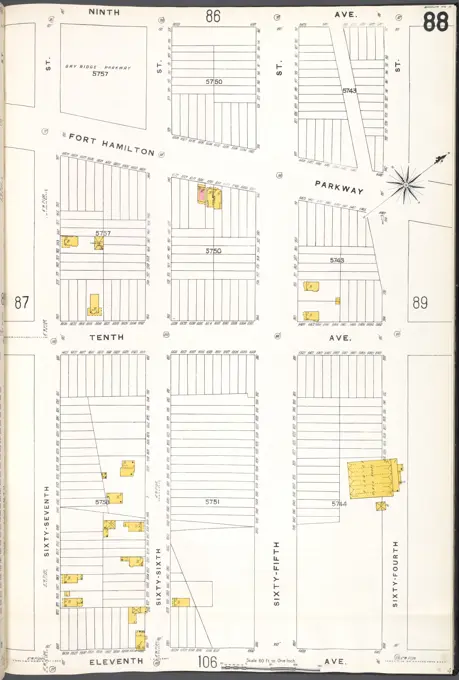
Fire insurance maps from Brooklyn, showcasing property details and street layouts. Vintage style with yellow highlights on a clean white background.