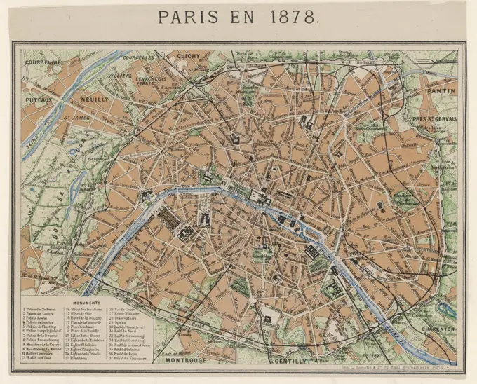
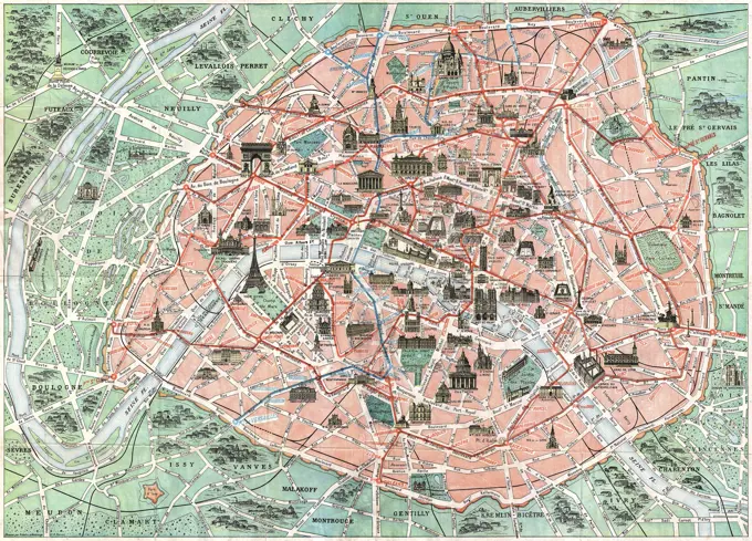
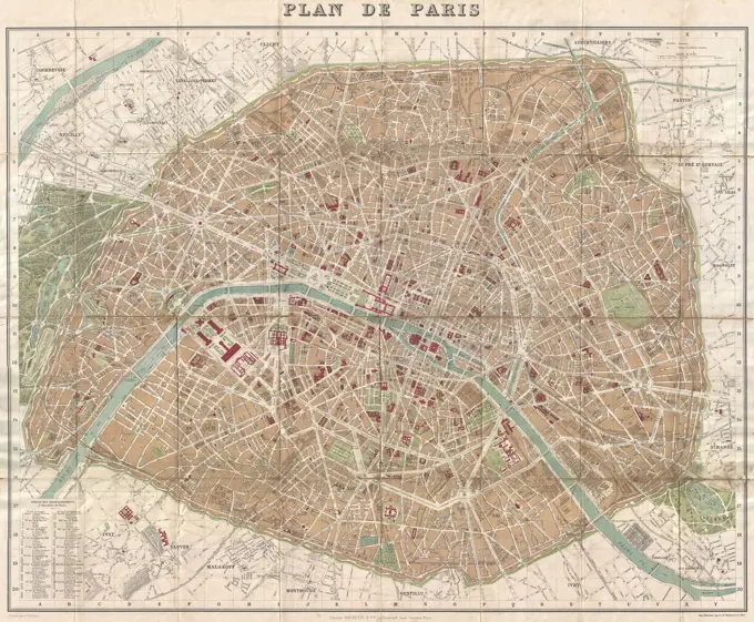
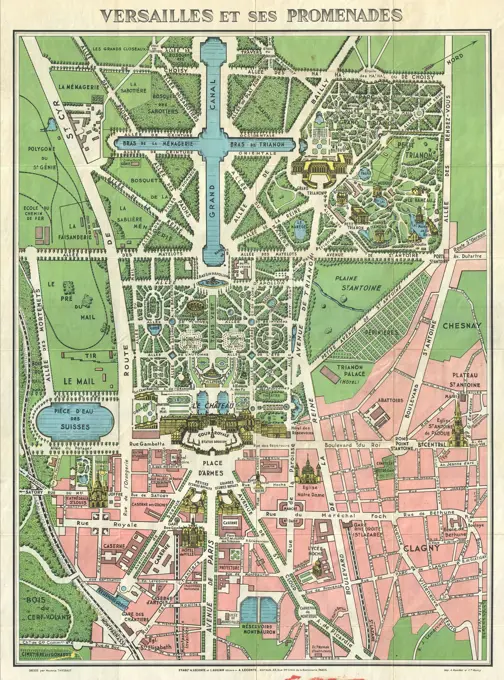
My Boards
View Pictures
  • My Boards

Historical City Maps

Collection of vintage maps showing urban layouts and land uses in Boston, Newton, and Paris, highlighting railway lines and property ownership.

Figurative plan of the barricades as well as positions and movements of armed citizens
261 assets in this story
6145-29929603
St Louis Hospital and Comatigation Hospital / 88 / 1967
6145-29929738
Little Montreal Neighborhoods and Montsouris Park / Leaf 25-51 (old leaf 296)
1788-36224
Cartography, Italy. Map of Medieval Treviso. From Medieval Treviso by Angelo Marchesan. Engraving.
4443-73237598
unknown, Amsterdam, Mortier, Pieter (I), Northern Netherlands, Plan d'Oudenarde Place Forte du Comté de Flandre Située sur la Riviere d'Escaut a sept Lieues de Tournoy, Map of Oudenaarde, ca. 1708, Map of the fortifications around the city of Oudenaarde, ca. 1708., print, map, prints, Frederik Muller Historieplaten, height 380 mm, width 497 mm, print maker, printmaker, 1708 - 1708, paper, papier, etching, etchings, Publication (Event), Publication, Frans, 1661 - 1711, publisher, uitgever van privilege
6145-59678832
Map of Leuven, Frans Hogenberg, 1581 print  Cologne paper. pencil etching / letterpress printing maps of cities Louvain
6145-50565971
Official map of Boston , Boston Mass., Maps Norman B. Leventhal Map Center Collection
4443-11080
MAP OF PARIS, FRANCE
1848-19255694
Stadtplan von Wien Zentrum, Österreich, 1895, digital restaurierte Reproduktion einer Originalvorlage aus dem 19. Jahrhundert
4443-10826
MAP OF THE CENTRE OF LONDON, GREAT BRITAIN, 1899
6145-29095021
1739 Bretez - Turgot View and Map of Paris, France (c. 1900 Taride issue)
6145-29912672
Metz and surroundings, 1/20,000 (IT)
6176-66910585
Map of the defences of Richmond, Virginia, April 1865. USA Civil War
6145-50444256
Jansen Hermann (1869-1945), Planning for Plowdiw (December 17, 1942): Map Plowdiw and the surrounding area, site plan construction zones 1: 10000. Colored pencil and typewriter via pressure on paper, 71.6 x 74.5 cm (including scan edges) Jansen Hermann  (1869-1945): Planung für Plowdiw
6145-55913366
Cruchley's new plan of London shewing all the new and intended improvements to the present time. A new edition improved to 1st Jany. 1838. Includes references.... , England  , London
6145-29095468
1867 Logerot Map of Paris, France
6145-54287847
Bombing Of Hamburg, Germany.
6145-55913368
Cruchley's new plan of London shewing all the new and intended improvements to the present time. Conservation of this piece was funded by Ryan Jaco in honor of James Connolly. Includes 'Table of reference to the letters on the plan'.... , England  , London
6145-59585333
Map of the city of Groningen, Anonymous, 1777 - 1810 print Map in a nutshell perspective. At the bottom left Cartouche with Legenda, the coat of arms of the city of Groningen a boy with the hate of freedom and the Dutch Lion with a bundle of arrows. At the bottom in the middle a bowl: rod. At the bottom right another legend.  paper engraving / etching maps of cities. coat of arms (as symbol of the state, etc.) Groningen
6145-59564397
Map of the Water Board of the Krimpenerwaard, consisting of seventeen parts, Johannes Leupenius, after David Coster, 1741 print Map of the Water Board of the Krimpenerwaard. Above the card a banderole with the title. In the middle, the coat of arms of the Water Board with the weapon of the Dijkgraaf and a water council and on the right the weapons of two water councils. Along the left edge the weapons of two water councils and the secretary. Along the right edge the weapons of two more water councils and one shield with the names of the four lots and their secretary/treasurer. On the map itself a cartouche with information and bottom right a cartouche with information and a bowl: scale of 600 Rhynandsche rods.  paper etching / engraving maps of separate countries or regions. maps of cities. coat of arms (as symbol of the state, etc.). armorial bearing, heraldry Krimpenerwaard
4220-3016
An aerial map of Paris,showing the importantmonuments and the SeineDate: 1878
1848-19254046
Stadtplan, 1892, Mainz, Germany, Deutschland, digital restaurierte Reproduktion einer Originalvorlage aus dem 19. Jahrhundert, Europe
6145-29095836
1932 Robelin Map of Paris, France w-Monuments
6145-59593046
Map of the Water Board of the Krimpenerwaard, consisting of six parts, Johannes Leupenius, 1755 print Map of the Water Board of the Krimpenerwaard. Bottom left a cartouche with information and bottom right a cartouche with information and a bowl: scale of 600 Rhynandsche rods. The accompanying edge of the arms is missing.  paper. ink etching / engraving / pen maps of separate countries or regions. maps of cities Krimpenerwaard
6145-30330852
Wenceslaus Hollar, 1607-1677, Bohemian, London, before the Fire in 1666. Engraving.
1848-19261100
Stadtplan von Rom, Italien, 1895, digital restaurierte Reproduktion einer Originalvorlage aus dem 19. Jahrhundert
6145-51385970
Plan of Boston , Boston Mass., Maps Norman B. Leventhal Map Center Collection
4443-12547
MAP OF PARIS IN 1896, FRANCE
6145-29095741
1894 Hachette Pocket Map of Paris, France (shows Eiffel Tower)
6145-55181419
Ocean Side Cartographic. Atlases, Maps. 1914. Lionel Pincus and Princess Firyal Map Division. Nassau County (N.Y.) , Maps, Real property , New York (State) , Nassau County
6145-29095809
1920s Leconte Map of Paris w-Monuments and Map of Versailles
6145-50569387
Plan de Paris divisé en 20 arrondissements et 80 quartiers , Paris France, Maps, Paris France, Description and travel, Subways, France, Paris, Maps, Streets, France, Paris, Maps Norman B. Leventhal Map Center Collection
6188-64601735
India map  map of Calcutta Kolkata showing public buildings and churches etc  India Copyright: xJehangirxSorabjee/DinodiaxPhotox
1848-50242611
City map of Rome, Italy, 1895, digitally restored reproduction of an original 19th-century map, Europe
6176-66082114
General map of the retrenched camp of Paris with the indication of all the new forts, France. Europe. Old 19th century engraved illustration from La Nature 1884
6145-59483408
Map of Leuven, Anonymous, 1652 print  Amsterdam paper etching maps of cities Louvain
4443-11058
MAP OF TOULOUSE, FRANCE
1746-19700609
19th Century Map of Paris with the River Seine depicted. Dated 1880
6145-51391711
The Builder map of the county of London : shewing the boundaries of the surveyors' districts under the building acts , Zoning, England, London, Maps, London England, Maps Norman B. Leventhal Map Center Collection
6145-48446508
Jansen Hermann (1869-1945), competition for the development of the inner Rayon, Cologne (January 18, 1921): Traffic development and green space plan 1: 5000. Ink on transparent, 62 x 57.7 cm (including scan edges) Jansen Hermann  (1869-1945): Wettbewerb zur Bebauung des Inneren Rayons, Köln
6145-59591944
Map of the Woerden Water Board, consisting of nine parts, Justus Vinckboons, David Vinckboons (II), 1684 print Along the top a banderole with the title. At the top in the middle a cartouche with historical information about the Woerden Water Board. On the left the weapons of the Water Board, the Chamberman and two water councils. On the right the weapons of the Dijkgraaf, two water councils and the secretary. Under the right of the middle a bowl: degree of 800 Rhynandtsche rods. / Waer from 1600 Maecken about a Ure Gaens. To the right of it a cartouche with the names of the Hoofdingelanden in 1670.  paper engraving maps of separate countries or regions. coat of arms (as symbol of the state, etc.). armorial bearing, heraldry Woerden
1848-50242613
Map of London, City and West End, England, 1895, digitally restored reproduction of an original 19th century map
1788-22073232
Flight to Vienna planned by Gabriele d'Annunzio, leaflets dropped near Saint Stephen's Cathedral, August 9, 1918, World War I, Austria, 20th century.
4443-11063
MAP OF MONTPELLIER, FRANCE
6145-55167644
Scattergood's map of sixteen miles around Philadelphia. Relief shown by hachures. Depths shown by soundings. Shows townships, cities and towns, population, railroads, waterways, marshes and radial distances from Broad & Market Sts. Includes ill. of Independence Hall and Girard Hall. Includes text describing places of interest and steam rail road depots. "Entered according to act of Congress in the Year 1876 by SCATTERGOOD & VAN DERVEER in the office of the Librarian of Congress at Washington, D.C.".. Map of sixteen miles around Philadelphia. Map of sixteen miles around Philadelphia, Pennsylvania  , Philadelphia  ,county   , Philadelphia
4409-21542
PLANO DE LA VILLA DE MADRID - CORTE DE LOS REYES CATOLICOS DE ESPAÑA HACIA 1635 - GRABADO. Author: WIT FREDERICK DE. Location: SERVICIO GEOGRAFICO DEL EJERCITO. SPAIN.
6145-51391631
Boston, Massachusetts , Boston Mass., Maps Norman B. Leventhal Map Center Collection
6145-55916328
Boston, Massachusetts. Date estimated from Parker House description. Includes descriptive index, text and color illustrations of historical scenes. On verso: Text, illustrations, descriptive index and advertisements for the Parker House, Hotel Bellevue and the Somerset. Sticker noting distribution from the Christian Science Monitor pasted on verso... Boston is a browsing town : what to see and how to enjoy your visit. Boston is a browsing town : what to see and how to enjoy your visit, Massachusetts  , Suffolk  ,county   , Boston
6145-29095803
1920s Leconte Map of Paris w-Monuments and Map of Versailles
4220-21851348
 Map of London at the time of Queen Elizabeth I        Date: 1560
6145-29094681
1852 Levasseur Map of the Department L'Allier, France (Saint-Pourçain Wine Region)
6145-50444429
Jansen Hermann (1869-1945), total development plan Tarsus (12.10.1937): site plan, traffic line plan 1: 5000 (pres. 1st version). Coal, ink on transparent, 62.2 x 73.3 cm (including scan edges) Jansen Hermann  (1869-1945): Gesamtbebauungsplan Tarsus
6145-59569464
Siege of Breda (leaf in the middle), 1637, 1637 print The siege and conquest of Breda by the State Army under Frederik Hendrik, July 23 - October 10, 1637. Part of an unassembled ensemble consisting of 9 magazines (and 2 missing text magazines here). Leave in the middle of the map with a army camp from the besiegers.  paper etching siege, position war. maps of separate countries or regions Breda
6145-48483383
Münzfeld, geometric plan of Bad Orb (09.1904): Map of Bad Orb. Print, 57.5 x 111.5 cm (including scan edges) Münzfeld : Geometrischer Plan von Bad Orb
6145-29095793
1910 Leconte Monument Map of Paris, France
6145-45623401
Siege from Breda (leaf in the middle), 1637; Exponging ratio Fortissimae Urbis Bredae AO.-1637. The siege and conquest of Breda by the State Army under Frederik Hendrik, July 23 - October 10, 1637. Part of an unassembled ensemble consisting of 9 sheets (and 2 text blades missing here). Leaf in the middle of a part of the card with a biestopamp of the biestmarks.
6145-59240732
Map of London after the big fire of 1666, 1666 print Map of London on which it is indicated The part of the city that was destroyed during the major fire of 12-15 September 1666. At the top left a bet with the plan for the rebuilding. At the bottom of a bet with a face on the burning city by night. At the bottom of texts in 2 columns in Dutch, 2 columns in French and 2 columns in English with a description of the events and a list of the burned streets and places within London. print maker: Northern Netherlandspublisher: Amsterdam paper etching / engraving / letterpress printing maps of cities London
6145-29912571
Electoral map of Paris in 1868 (IT)
4409-25206
PLANO DE MADRID - GRABADO SIGLO XVIII. Author: TARDIEU PIERRE FRANÇOIS. Location: MUSEO DE HISTORIA-MAPAS Y PLANOS. SPAIN.
6145-50444411
Jansen Hermann (1869-1945), total development plan Ankara (November 14, 1928): Land use and traffic plan. Ink on transparent, 48.6 x 44.3 cm (including scan edges) Jansen Hermann  (1869-1945): Gesamtbebauungsplan Ankara
5513-111856101
Base Map Of Berlin -- This pre-war base map of Berlin is service for use in Connection with possible news developments. February 26, 1945. (Photo by U.S. Office of War Information Picture). ;Base Map Of Berlin -- This pre-war base map of Berlin is service for use in Connection with possible news developments.
1558-13914431
England, London, City of London, Street Map
PREVIOUS
of 3
NEXT
2401 S. Ervay, Suite 206
Dallas, Texas 75215
United States
Get Started
Free ResearchMy BoardsMy Cart
For Creators
How To License Your ContentContributor PortalFrame of Mind
Resources
API accessPricing
Contact
+1 866 236 0087help@viewpictures.co.uk Contact form
©2026 View Pictures. All Rights Reserved. -B
This site is protected by reCAPTCHA and Google Privacy Policy and Terms of Service apply.