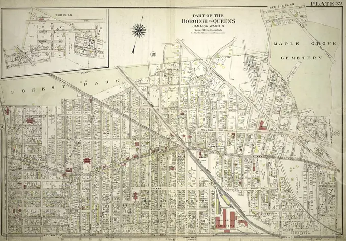
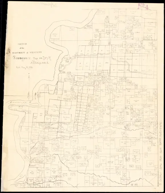
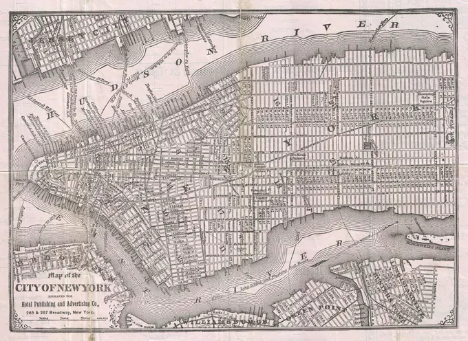
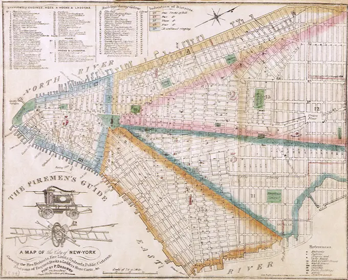
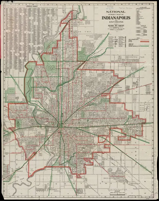
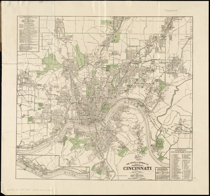
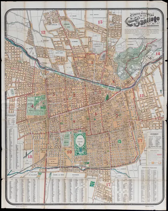
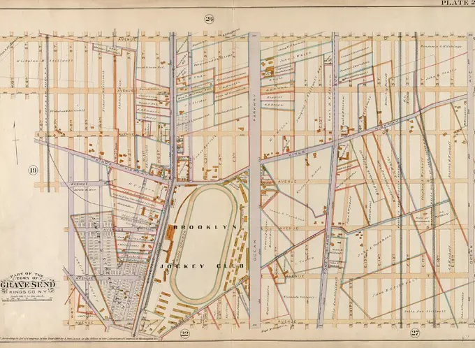
Historical City Maps

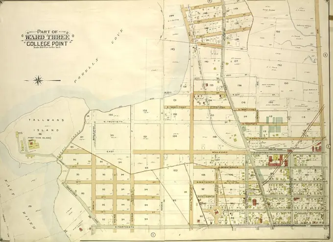
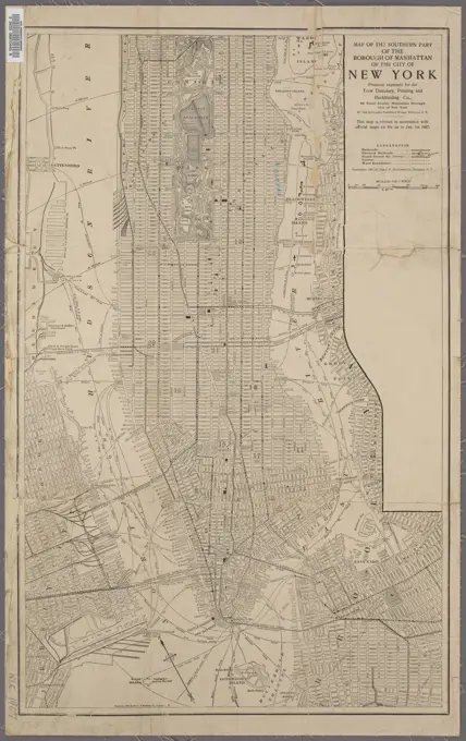
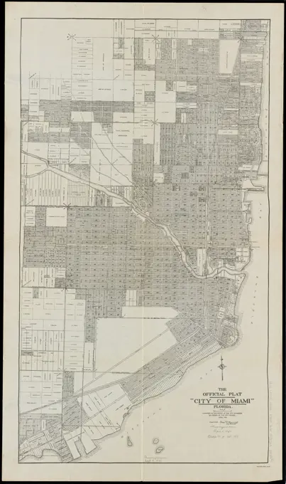
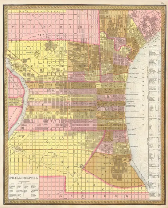
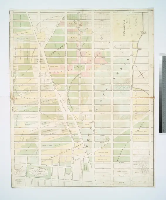
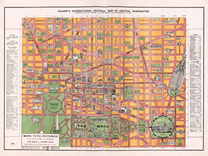
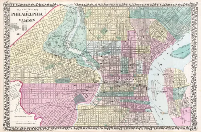
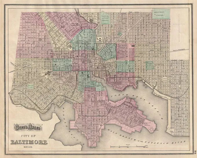
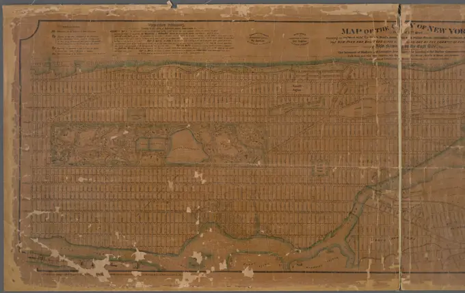
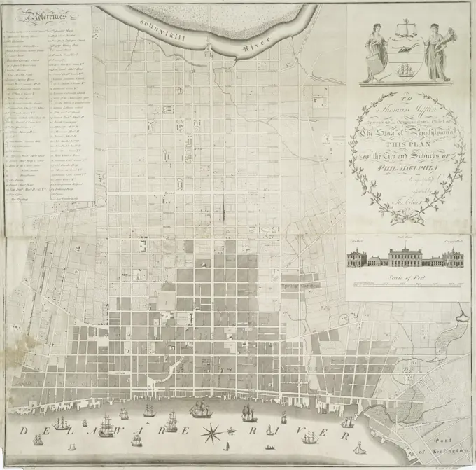
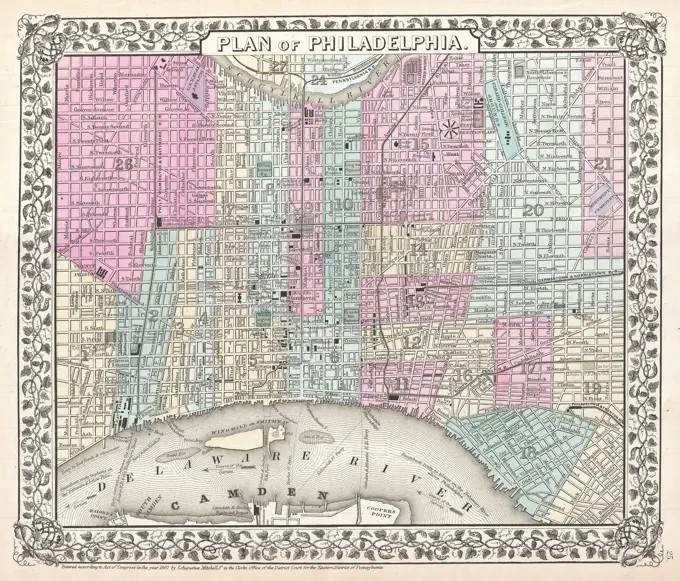
Detailed cartographic maps showing various urban areas including Washington D.C., Tallapoosa, and parts of New York, with street layouts and geographic features.

Plat of the city of Tallapoosa, Haralson County, Georgia, showing city lots and property owned by the Georgia-Alabama Investment and Development Company, 1892. Issued by the Georgia-Alabama Investment and Development Company, this map measures 81 x 52 cm, with the sheet size being 85 x 57 cm. The verso of the NYPL Map Division copy is covered with cloth