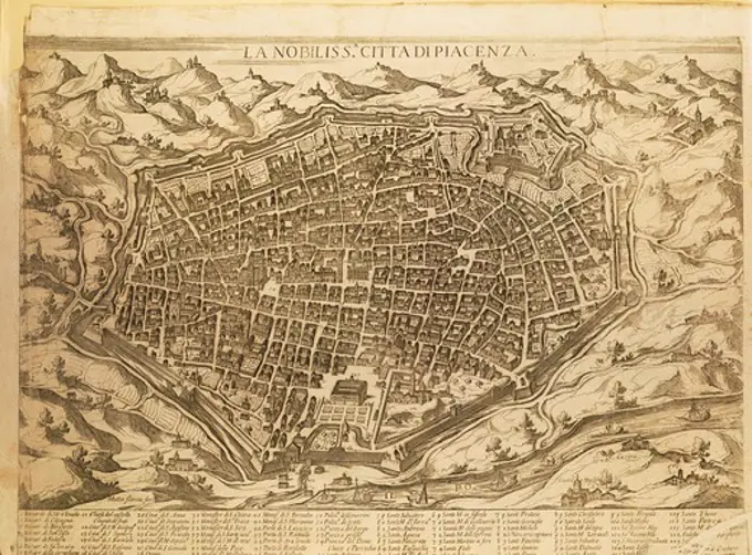
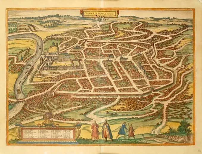
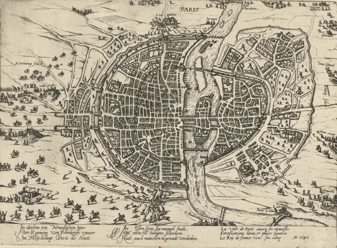
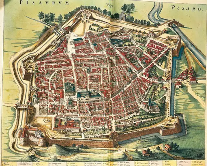
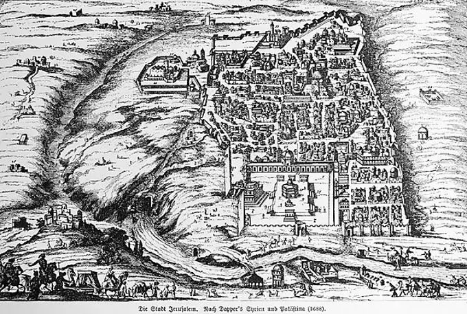
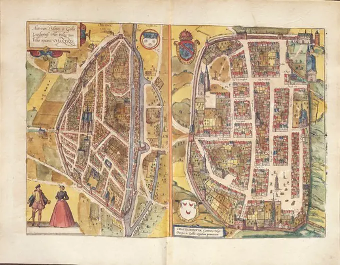
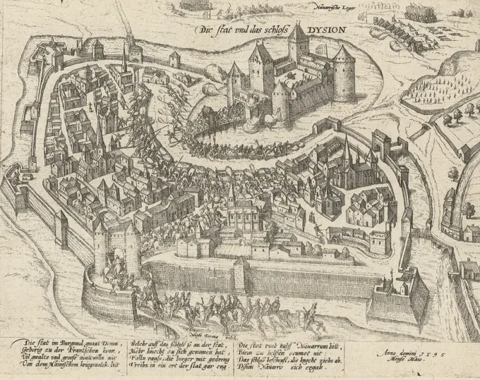
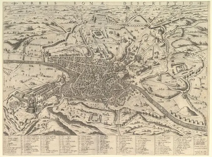
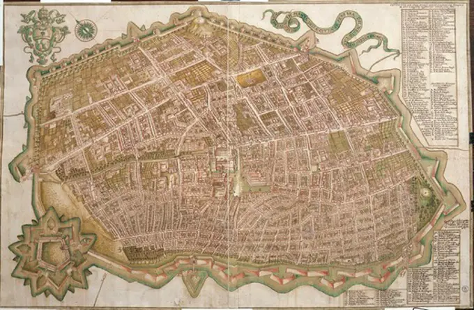
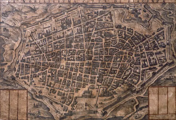
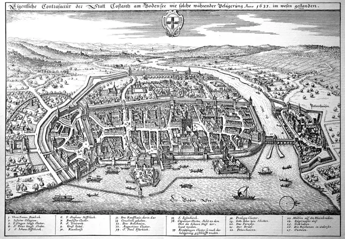
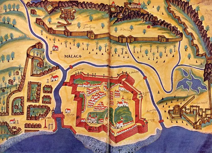
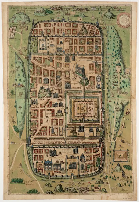
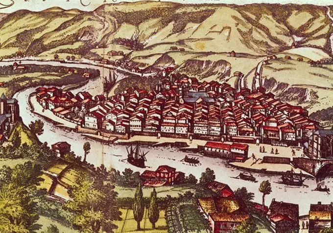
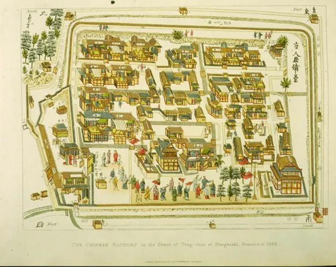
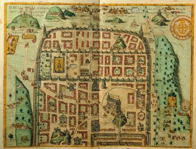
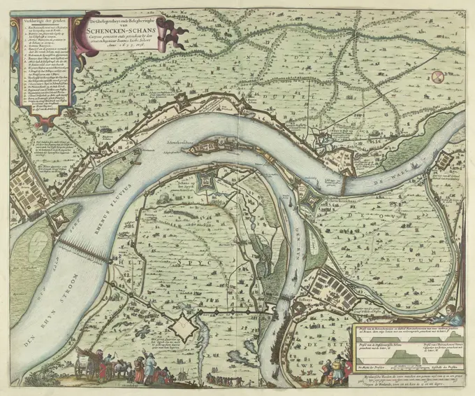
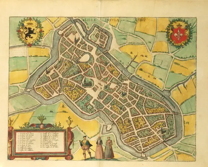
Historical City Maps and Views

Engravings of European cities from the 16th to 17th centuries, showcasing detailed bird's-eye views, city layouts, and notable landmarks.

Rome, Lafreri, Antonio, L'Assedio della città di Herlem in Hollanda, The siege of Haarlem, 1572-1573, Bird's-eye view of the siege of the city of Haarlem. In the foreground and at the top the camps of the Spanish troops. At the top coats of arms of the German Empire and Haarlem., print, picture, news print, prints, pictures, Frederik Muller History plates, height 270 mm, width 399 mm, Italian, 1512 - 1577, print maker, printmaker, 1573 - 1573, third quarter 16th century, paper, etching, etchings