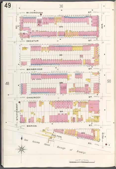
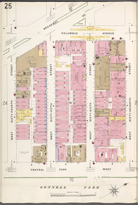
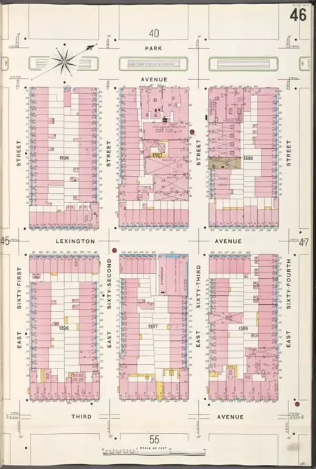
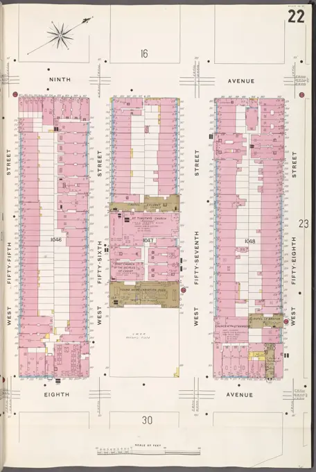
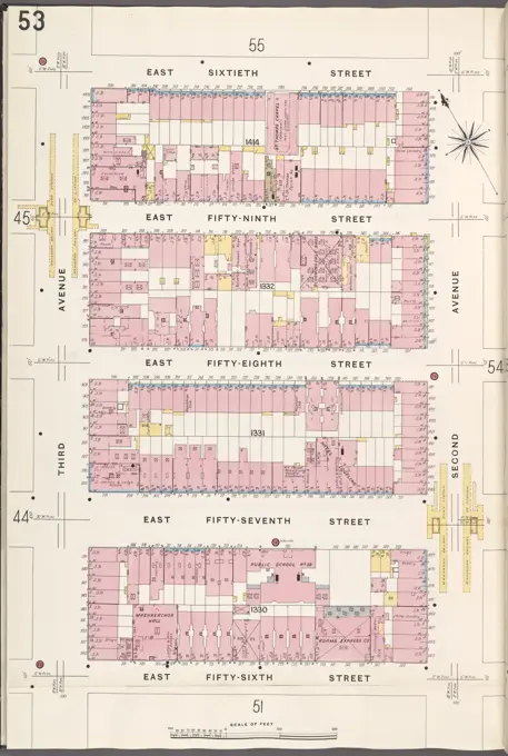
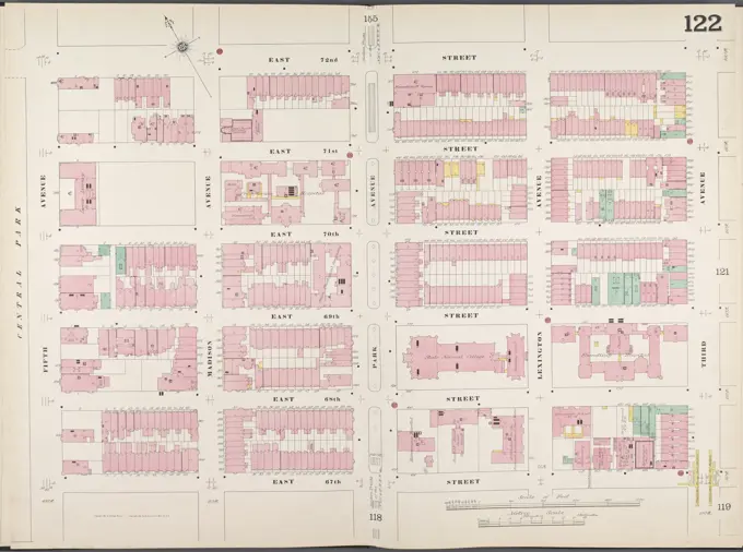
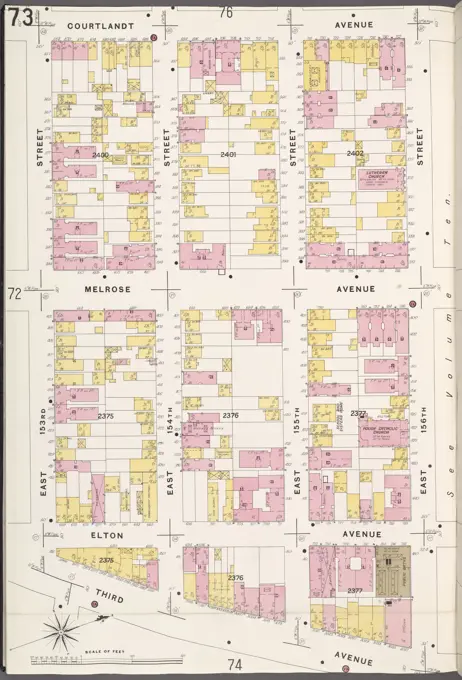
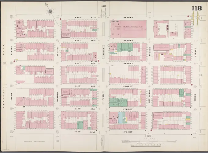
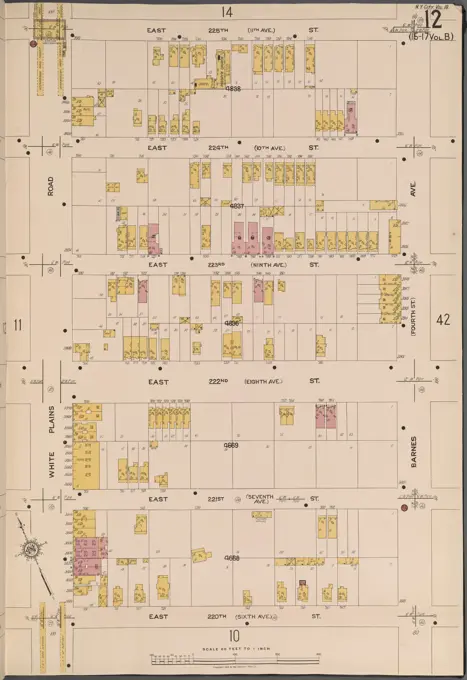
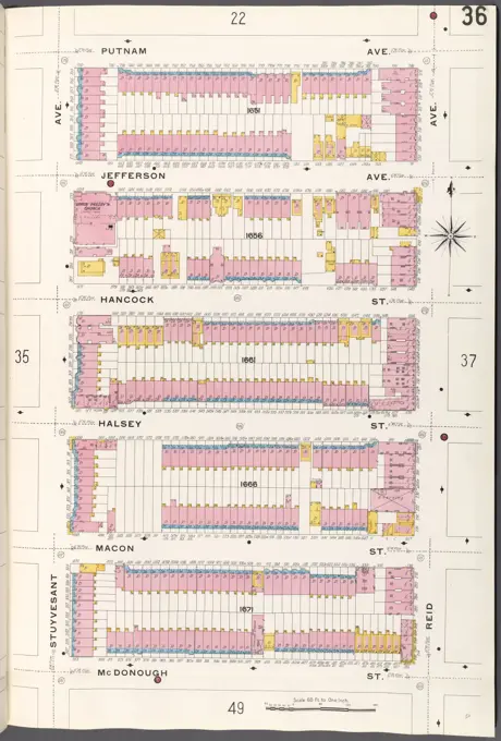
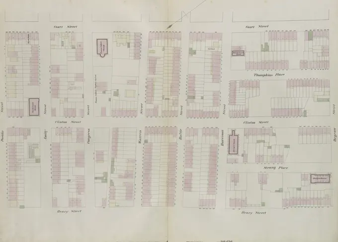
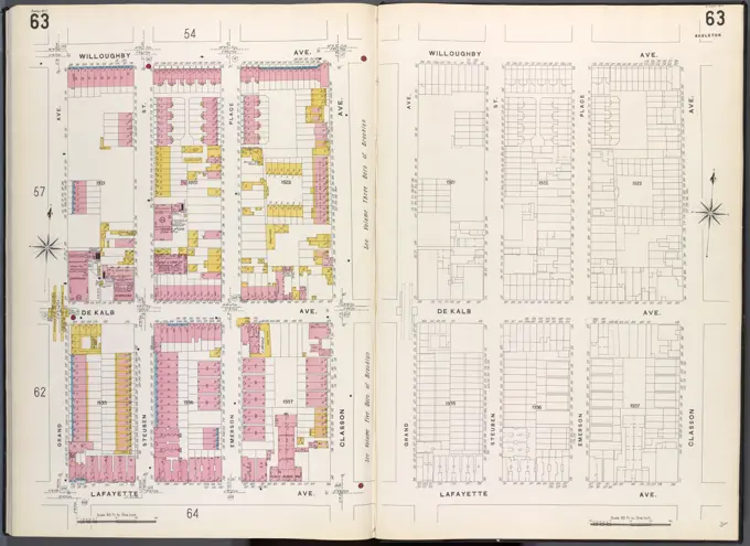
Historical Fire Insurance Maps
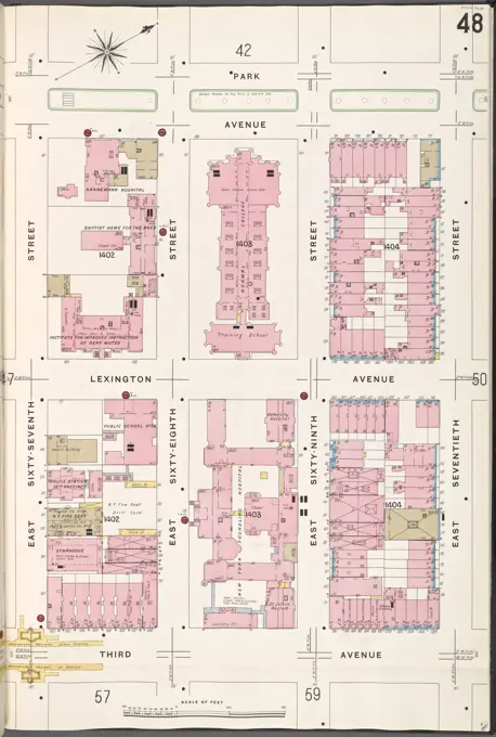
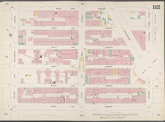
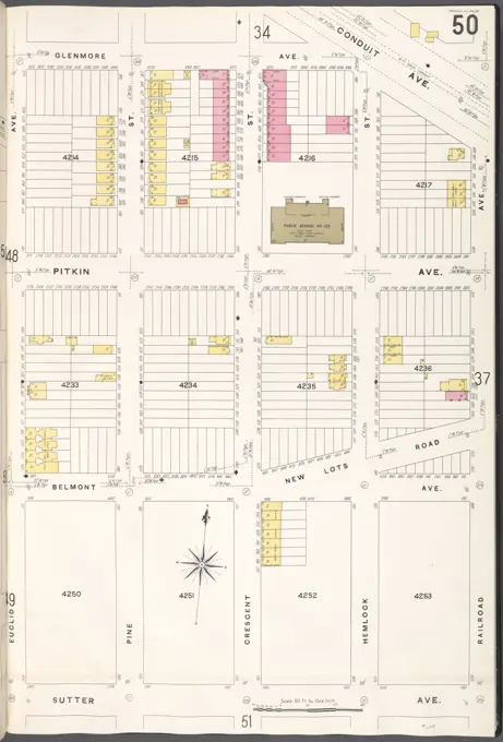
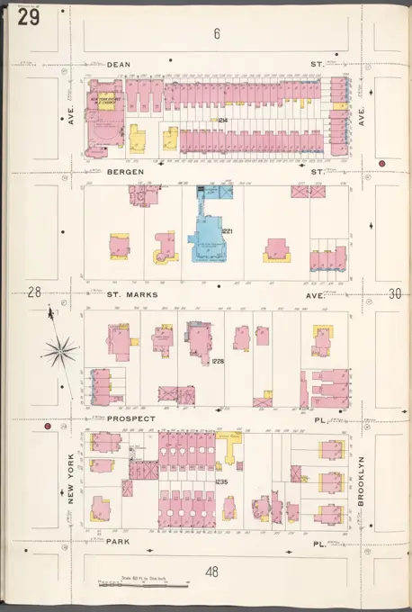
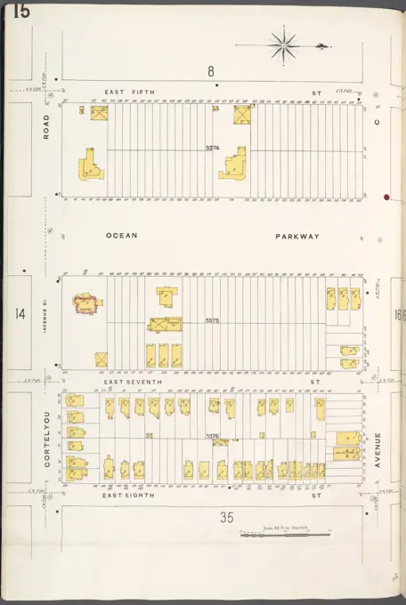
Cartographic illustrations of fire insurance maps from the late 19th and early 20th centuries, detailing city layouts in New York State.

Cartographic illustrations of fire insurance maps from the late 19th and early 20th centuries, detailing city layouts in New York State.