My Boards
View Pictures
  • My Boards

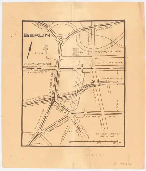
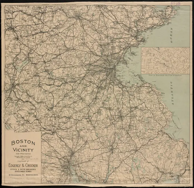
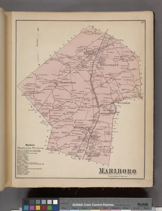
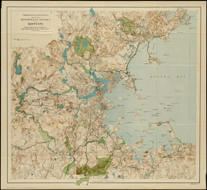
Historical Map Collection

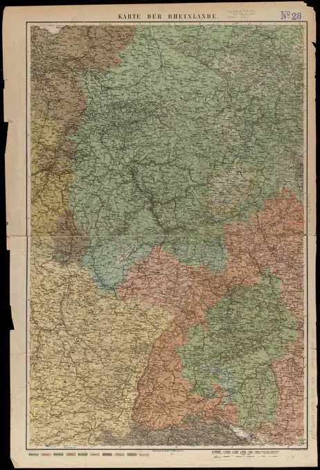
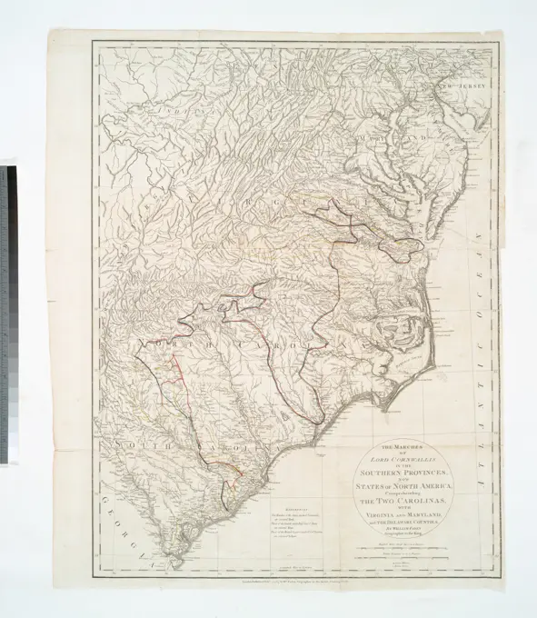
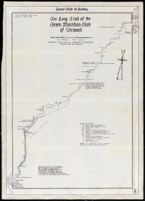
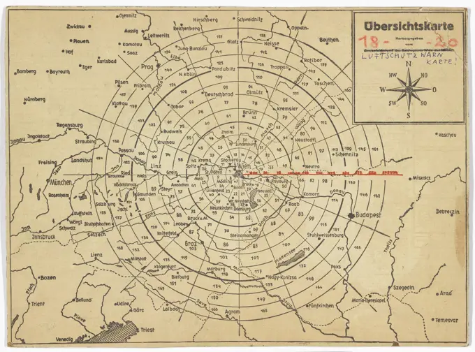
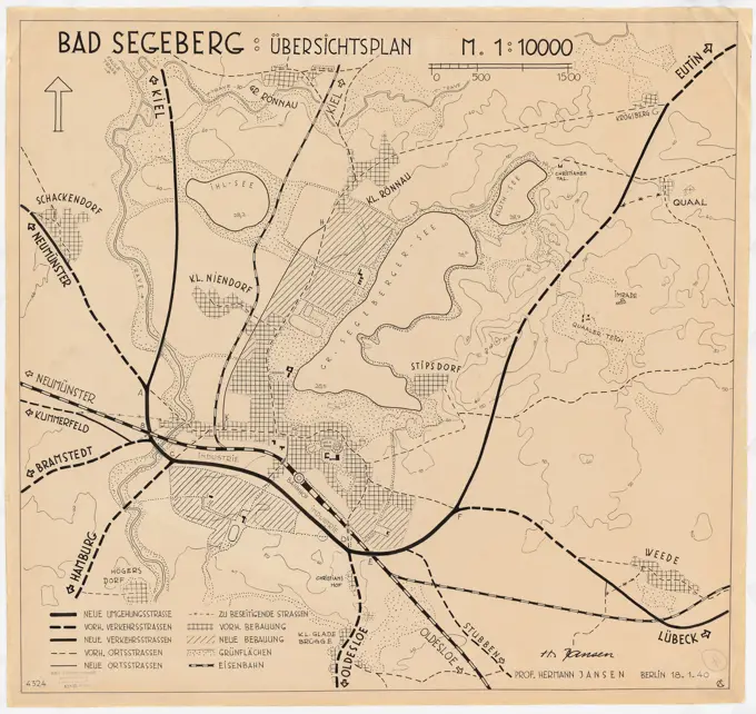
A series of historical maps covering various regions, including urban development plans and battlefield areas from the 19th and early 20th centuries.

Map of Keene including the original boundaries of upper Ashuelot , Keene N.H., Maps Norman B. Leventhal Map Center Collection
252 assets in this story
6145-54267533
Forbes' new and complete map of Richmond and its fortifications. Relief indicated by hachures. Printed in blue ink. Includes forts, street pattern of city, towns, roads, railroads and drainage. Distance from Richmond shown by concentric circles, each representing 1 mile.... , Virginia  , Richmond
6145-55914817
Map of the country embracing the several routes examined with a view to a national road from Washington to Lake Ontario. Prime meridian: Washington, D.C. Relief shown by hachures.... , Pennsylvania Maryland Middle Atlantic  ,area  New York
6145-50444026
Unknown authors, scope and construction class division of the construction police regulation of 1907 (without date): overview map and excerpts in changing standards. Print colored on paper, 71.6 x 88.8 cm (including scan edges) unbek. Verfasser : Geltungsbereich und Bauklasseneinteilung der Baupolizeilichen Verordnung von 1907
6145-51468994
Map of the long distance telephone and telegraph lines used by the civil and military systems in the 3rd Army Corps during World War One. The map was prepared in the office of the Chief Signal Officer of the 3rd U.S. Army. This particular map covers areas in Germany.
6145-54267998
Map of the Metropolitan District of Boston showing local public reservations and holdings of the Metropolitan District Commission Parks Division. Shows parks of the city of Boston, local parks and reservations, metropolitan reservations and parkways, and proposed metropolitan parkways. From Special report 1925 / City of Boston Park Department. "Plate I.".. Map of Metropolitan District showing Boston park system in relation to other parks and public open spaces. Map of Metropolitan District showing Boston park system in relation to other parks and public open spaces, Massachusetts  , Suffolk  ,county   , Boston
6145-51386860
Rail road map of Pennsylvania , Railroads, Pennsylvania, Maps, Counties, Pennsylvania, Maps, Pennsylvania, Maps Norman B. Leventhal Map Center Collection
6145-51391999
Central part of Boston Elevated Railway system showing connections 1903 , Local transit, Massachusetts, Boston, Maps, Railroads, elevated, Massachusetts, Boston, Maps, Subways, Massachusetts, Boston, Maps, Boston Mass., Maps, Boston Elevated Railway Company Norman B. Leventhal Map Center Collection
6145-48719269
Comparative map of distances between Paris & Cologne, and likewise between Dover and Cologne , Railroads, Belgium, Maps, Railroads, France, Maps, Belgium, Maps, France, Maps Norman B. Leventhal Map Center Collection
6145-50568602
Central part of Boston Elevated Railway system showing connections 1903 , Local transit, Massachusetts, Boston, Maps, Railroads, elevated, Massachusetts, Boston, Maps, Subways, Massachusetts, Boston, Maps, Boston Mass., Maps, Boston Elevated Railway Company Norman B. Leventhal Map Center Collection
6145-51391603
Boston and vicinity , Roads, Massachusetts, Maps, Boston Mass., Maps, Massachusetts, Maps Norman B. Leventhal Map Center Collection
6145-54573633
Ballston and Saratoga Springs, city of Albany, and adjacent country.. Stone, William L. (William Leete) (1792-1844). Prints, Illustrations. 1825. The Miriam and Ira D. Wallach Division of Art, Prints and Photographs: Print Collection. Erie Canal (N.Y.), New York (State)
6145-48446719
Jansen Hermann (1869-1945), traffic regulatory proposals in Berlin. Old West (01/18/1926): Overview plan with marking the "traffic streets" 1: 10,000, scale bar. Light break on paper, 28.3 x 24.2 cm (including scan edges) Jansen Hermann  (1869-1945): Verkehrsregulierungsvorschläge, Berlin. Alter Westen
6145-50571111
Boston and vicinity , Roads, Massachusetts, Maps, Boston Mass., Maps, Massachusetts, Maps Norman B. Leventhal Map Center Collection
6145-46369260
Card with four images of places along the Thames on the Cliveden estate. .
6145-51392001
Central part of Boston Elevated Railway system showing connections 1904 , Local transit, Massachusetts, Boston, Maps, Railroads, elevated, Massachusetts, Boston, Maps, Subways, Massachusetts, Boston, Maps, Boston Mass., Maps, Boston Elevated Railway Company Norman B. Leventhal Map Center Collection
6145-29456362
Anefo photo collection. Map of Western Europe. September 11, 1967
6145-51394770
Map of Scituate Rhode Island , Scituate R.I. : Town, Maps, Blueprints, Pictorial maps Norman B. Leventhal Map Center Collection
6145-48718700
Boston Elevated Railway lines 1921 , Local transit, Massachusetts, Boston, Maps, Railroads, elevated, Massachusetts, Boston, Maps, Subways, Massachusetts, Boston, Maps, Boston Mass., Maps, Boston Elevated Railway Company Norman B. Leventhal Map Center Collection
6145-55181366
Marlboro Business Notices. ; Marlboro Township Cartographic. Atlases, Maps. 1873. Lionel Pincus and Princess Firyal Map Division. Monmouth Couty (N.J.) , Description and travel, Real property , New Jersey , Monmouth County
6145-55913318
A complete map of Richmond and its fortifications within a circle of 12 miles showing the numerous forts, batteries and the range of their fire : and the various obstacles that impede the approach of the Federal army, also, the principal towns & plantations, in the immediate vicinity of Richmond, together with several of the battle fields of 1862. Relief shown by hachures. Shows radial distances in mile increments from the city of Richmond. "As a guide to note the approach of the Federal army, this map is invaluable, as the plan of its fortifications is taken from a correct drawing of a Southern engineer, who recently escaped to Europe." Description derived from published bibliography.. One of the geographic strategies for both armies was the capture of the other's capital. Washington, DC, was situated precariously on the Potomac River, sandwiched between Maryland, a slave state which did not secede, and Virginia, one of the last slave states to secede. As a primary defense, Union troo
6145-50565737
Fortifications of Central Europe : sheet no. 2 containing 16 plans , Antwerp Belgium, Maps, Bremen Germany, Maps, Brussels Belgium, Maps, Charleroi Belgium, Maps, Gdańsk Poland, Maps, Hamburg Germany, Maps, Kaliningrad Kaliningradskai︠a︡ oblastʹ, Russia, Liège Belgium, Maps, Lübeck Germany, Maps, Maastricht Netherlands, Maps, Magdeburg Germany, Maps, Mons Belgium, Maps, Szczecin Poland, Stralsund Germany, Maps, Tournai Belgium, Maps, Ulm Germany, Maps Norman B. Leventhal Map Center Collection
6145-50648489
Railway map of the Netherlands / situation July 1944
6145-46763890
Sala mine and silver plant chronology.sala silver mine.ur Carl Sahlin mountain historical collection.
6145-51397473
New Orleans , Louisiana, Maps, New Orleans La., Maps Norman B. Leventhal Map Center Collection
6145-43861319
Boston Elevated Railway system , Local transit, Massachusetts, Boston, Maps, Boston Mass., Maps, Boston Elevated Railway Company Norman B. Leventhal Map Center Collection
6145-54549106
Eden Valley Village; Eden Valley Business Directory.; East Eden Business Directory.; East Eden Village; Eden Township Cartographic. Atlases, Maps. 1866. Lionel Pincus and Princess Firyal Map Division. Erie County (N.Y.)
6145-55957238
Map of Springfield Section. Property of H. C. Bennett & Co. Inset map of greater New York. 1910. Cartographic. Maps. Lionel Pincus and Princess Firyal Map Division
6145-55914877
Map of the metropolitan district of Boston, Massachusetts : showing local public reservations and holdings of the Metropolitan Park Commission. Relief shown by contours. "December 1, 1901."... , Massachusetts  , Suffolk  ,county   , Boston
6145-30305784
Overall plan for the redesign of the green areas of Groß-Wien architect Wilhelm Peterle, April ,
6145-50571074
Karte der Rheinlande , Rhineland Germany, Maps Norman B. Leventhal Map Center Collection
6145-55180694
The marches of Lord Cornwallis in the Southern Provinces : now States of North America, comprehending the two Carolinas, with Virginia and Maryland, and the Delaware counties Cartographic. Maps. 1787-02-03. Lionel Pincus and Princess Firyal Map Division. Southern States , History , Revolution, 1775-1783 , Maps , Early works to 1800
6145-50551502
The Long Trail of the Green Mountain Club of Vermont : Trout Club to Bolton , Trails, Vermont, Maps, Hiking, Vermont, Long Trail, Maps, Long Trail Vt., Maps Norman B. Leventhal Map Center Collection
6145-54269462
Trans-continental map : showing the main lines and proposed extensions of the various trans-continental railroad systems of the Unites States and Canada, and some of the important connecting lines. Includes text and statistics.. America Transformed: At the end of the century, the nation's railroad network grew rapidly, resulting in a complex web that linked the eastern and western parts of the country. This map, prepared by a New York investment banker, represents the locations of the transcontinental systems and their connections to eastern and southern railroads. The legend identifies routes for 29 companies. The map highlights the impressive complexity of the rail lines in the central United States. The major cities in this region were centers of railroad traffic. Chicago had the largest number of connections with at least 10 lines converging on the city... , Canada United States
6145-50532839
Boston Elevated Railway lines operated 1925 , Local transit, Massachusetts, Boston, Maps, Railroads, elevated, Massachusetts, Boston, Maps, Subways, Massachusetts, Boston, Maps, Bus rapid transit, Massachusetts, Boston, Maps, Boston Mass., Maps, Boston Elevated Railway Company Norman B. Leventhal Map Center Collection
6145-51388164
Street map of the city of Mount Vernon and the town of Pelham, Westchester County, N.Y , Railroads, New York State, Mount Vernon Westchester County, Maps, Railroads, New York State, Pelham Town, Maps, Street-railroads, New York State, Mount Vernon Westchester County, Maps, Street-railroads, New York State, Pelham Town, Maps, Mount Vernon Westchester County, N.Y., Maps, Pelham N.Y. : Town, Maps, Mount Vernon Westchester County, N.Y., Administrative and political divisions, Maps Norman B. Leventhal Map Center Collection
6145-54267849
Map of Commonwealth Avenue Street Railway Company, and connecting lines : showing route to Norumbega Park. Cover title. Shows lines of the Commonwealth Avenue Street Railway Company and lines of the Boston Elevated Railway Company. Some buildings shown pictorially. On verso: advertisements and text description of Norumbega Park.... , Massachusetts  , Suffolk  ,county   , Boston Massachusetts  , Middlesex  ,county   , Newton
6145-51396770
Honduras from a drawing by International Railways of Central America , Railroads, Honduras, Maps, Honduras, Maps Norman B. Leventhal Map Center Collection
6145-50658167
Map of the Dutch Railways and Tramwegen
6145-44252692
Plan of Constantinople, 1:17,500, multi-color print, 1922
6145-30289529
Overview map for the Vienna Air Protection Warning Service ed, Unknown
6145-50567691
Port of Manchester , Docks, England, Manchester, Pictorial works, Manchester Ship Canal England, Maps Norman B. Leventhal Map Center Collection
6145-48719618
Broadway of America an all year ... all weather comfortable route from coast to coast , Roads, United States, Maps, United States, Maps Norman B. Leventhal Map Center Collection
6145-54549593
Esperance Township Cartographic. Atlases, Maps. 1866. Lionel Pincus and Princess Firyal Map Division. Schoharie County (N.Y.), Real property , New York (State) , Schoharie County, Business enterprises , New York (State) , Schoharie County
6145-48447975
Jansen Hermann (1869-1945), development plan Bad Segeberg (January 18, 1940): Overview plan 1: 10000. Ink on transparent, 77.9 x 82.4 cm (including scan edges) Jansen Hermann  (1869-1945): Bebauungsplan Bad Segeberg
6145-51426954
Walking map of Utrecht and surroundings
6145-50444412
Jansen Hermann (1869-1945), total development plan Ankara (06.05.1932): Autobusver traffic, route plan via a reduced basic plan 1: 12500. Ink over pressure on transparent, 61.9 x 55.9 cm (including scan edges) Jansen Hermann  (1869-1945): Gesamtbebauungsplan Ankara
6176-66916537
Map of Chicago to San Franciso via the Burlington Route, circa 1879
6145-50515902
Rock Island-Frisco lines and Chicago & Eastern Illinois R.R : traverse the richest and most prosperous commonwealths in the Union , Chicago & Eastern Illinois Railroad Company, Maps, Rock Island-Frisco Terminal Railway Company, Maps, Railroads, United States, Maps, Agriculture, United States, Maps, Manufactures, United States, Maps, Mines and mineral resources, United States, Maps, Timber, United States, Maps, United States, Maps Norman B. Leventhal Map Center Collection
6145-52359737
Broad Albin Fulton Co. Township; Broad Albin Village. Business Directory; Broad Albin Town. Business Directory; Broad Albin Village Cartographic. Atlases, Maps. 1868. Lionel Pincus and Princess Firyal Map Division. Real property , New York (State) , Montgomery County, Real property , New York (State) , Fulton County, Montgomery County (N.Y.), Fulton County (N.Y.)
6145-54549563
Rotterdam Township Cartographic. Atlases, Maps. 1866. Lionel Pincus and Princess Firyal Map Division. Schenectady County (N.Y.), Rotterdam (N.Y.)
6145-54548939
Cover - front and back. Cartographic. Atlases, Maps. 1897. Lionel Pincus and Princess Firyal Map Division. Hudson River (N.Y. and N.J.)
6145-50444298
Jansen Hermann (1869-1945), total development plan Ankara (07.06.1932): Transport and land use plan 1:20 000. Pressure on paper, 47.9 x 43.9 cm (including scan edges) Jansen Hermann  (1869-1945): Gesamtbebauungsplan Ankara
PREVIOUS
of 3
NEXT
2401 S. Ervay, Suite 206
Dallas, Texas 75215
United States
Get Started
Free ResearchMy BoardsMy Cart
For Creators
How To License Your ContentContributor PortalFrame of Mind
Resources
API accessPricing
Contact
+1 866 236 0087help@viewpictures.co.uk Contact form
©2026 View Pictures. All Rights Reserved. -A
This site is protected by reCAPTCHA and Google Privacy Policy and Terms of Service apply.