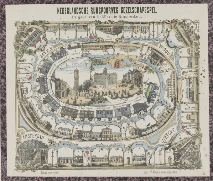
Historical Maps of Cities

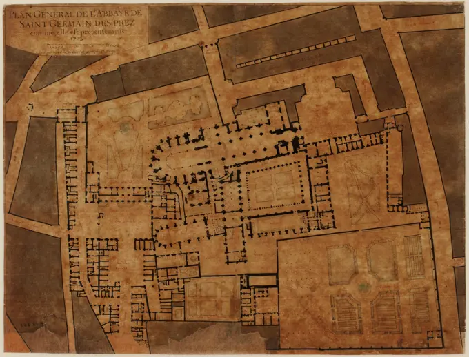
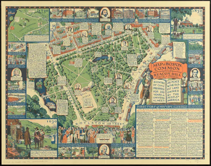
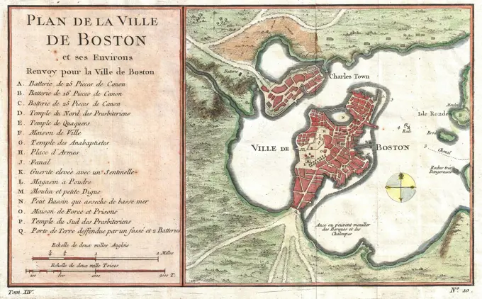
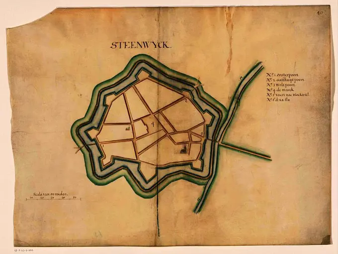
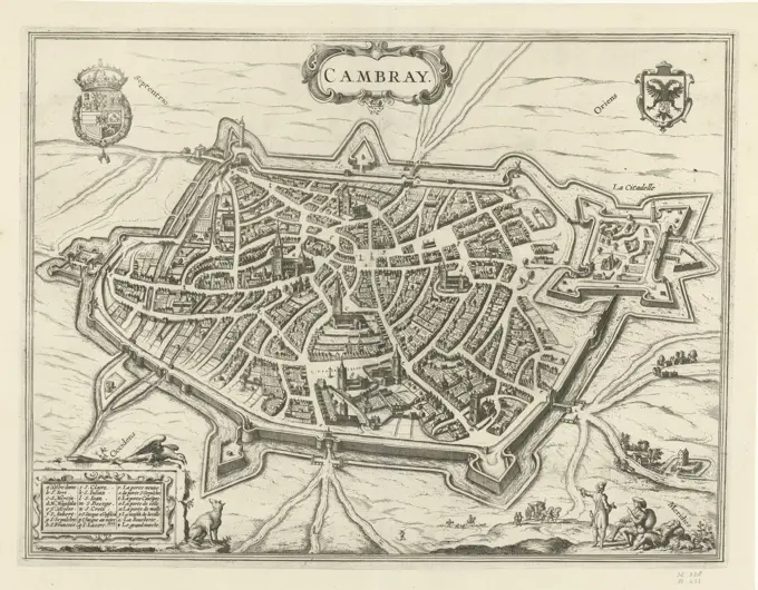
Vintage city maps from Europe, displaying intricate details and historical features from the 17th to 18th centuries, capturing urban layouts.

Amsterdam, Janssonius van Waesberge, Johannes (II), Novelanus, Symon, Hogenberg, Frans, Luyken, Jan, Cambray, Map of Cambrai (Kamerijk), verso - stamped, print, picture, book illustration, prints, pictures, height 334 mm, width 437 mm, Northern Netherlands, 1649-04-16 - 1712-04-05, print maker, printmaker, 1598 - 1598, paper, papier, etching, etchings, Dutch, German, 1540 - 1590, South Netherlandish, Publication (Event), Publication, publisher