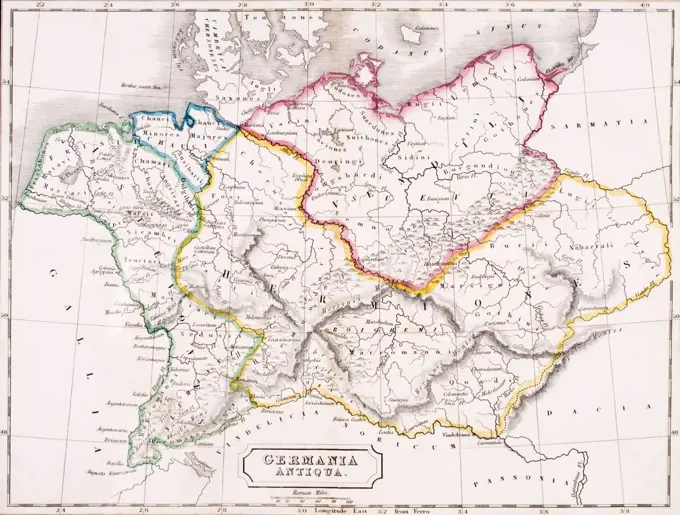
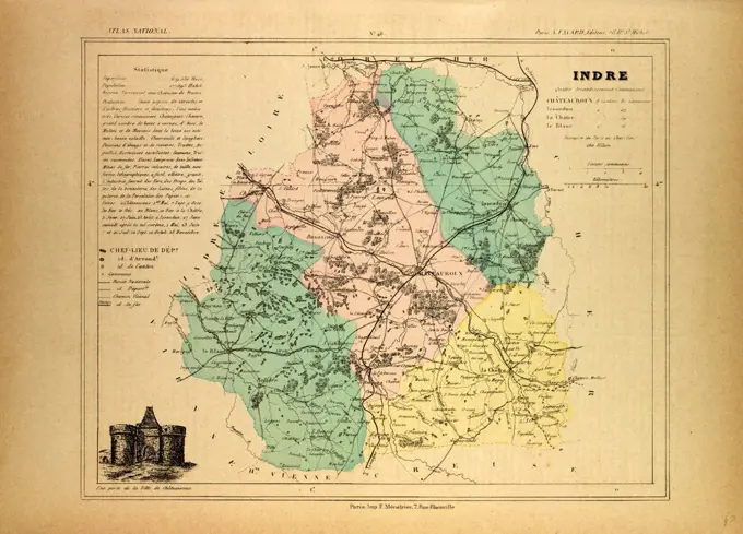
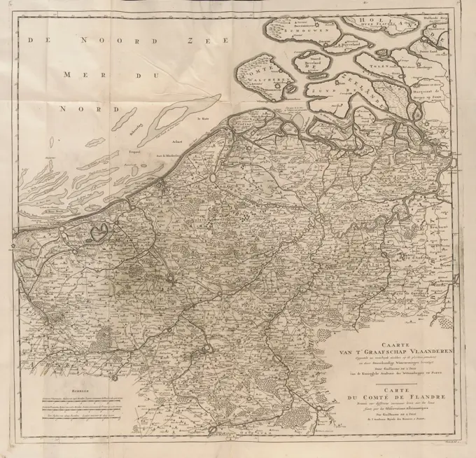
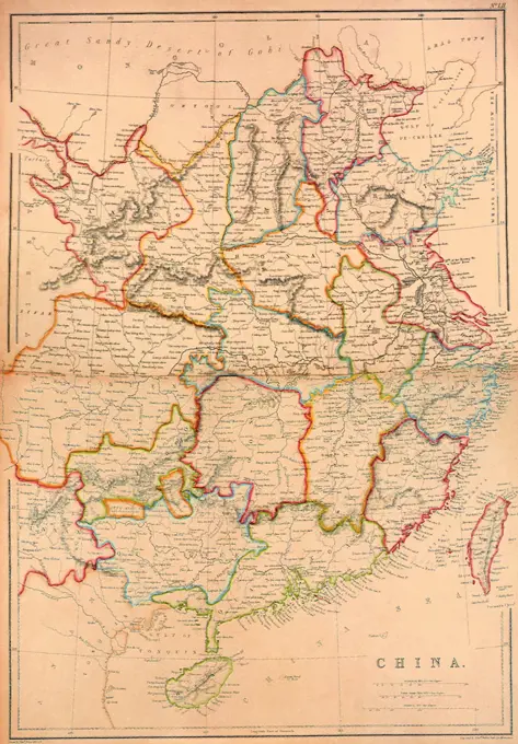
Historical Maps of Europe
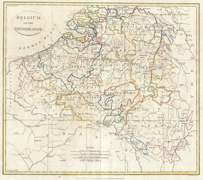
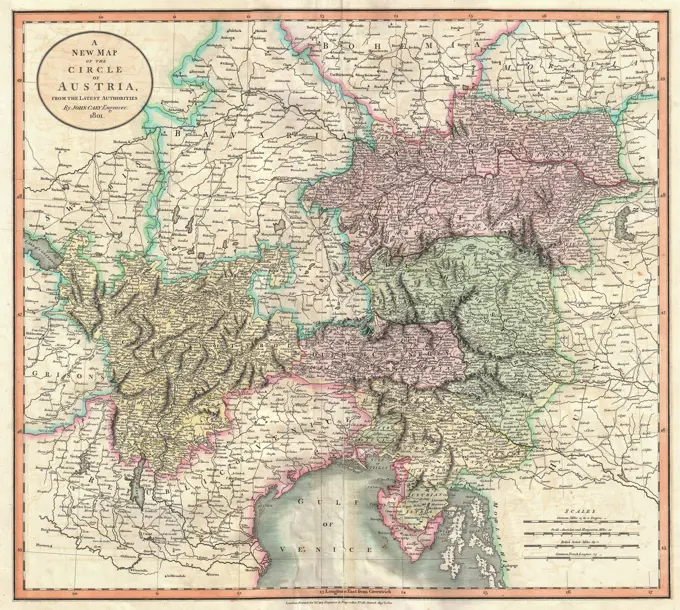
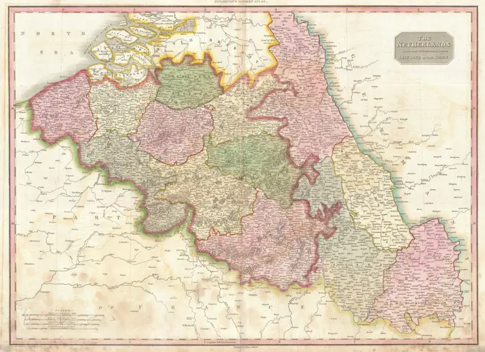
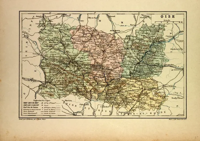
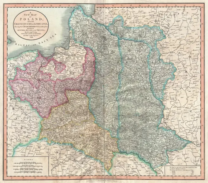
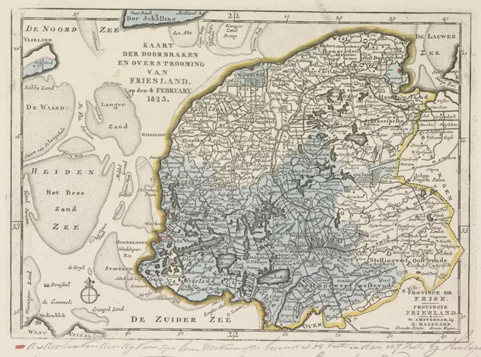
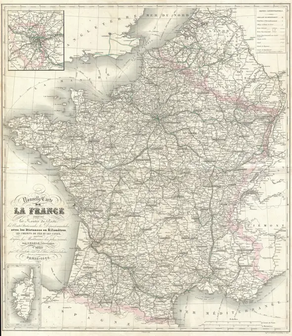
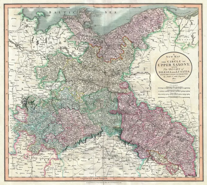
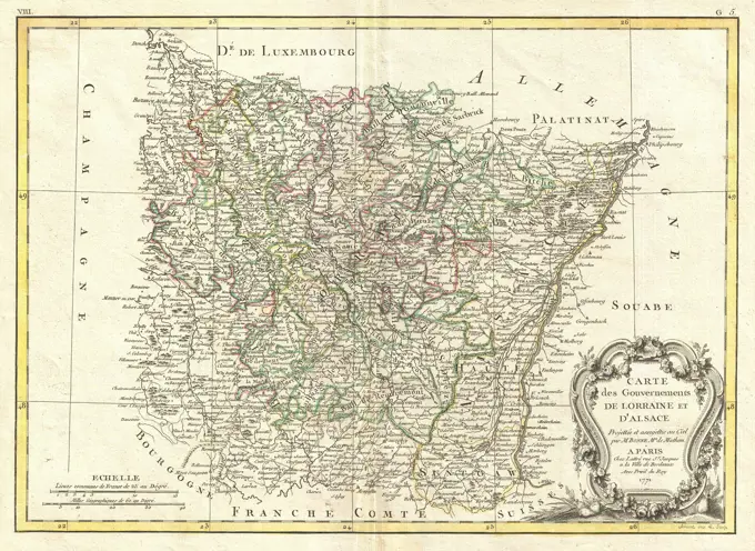
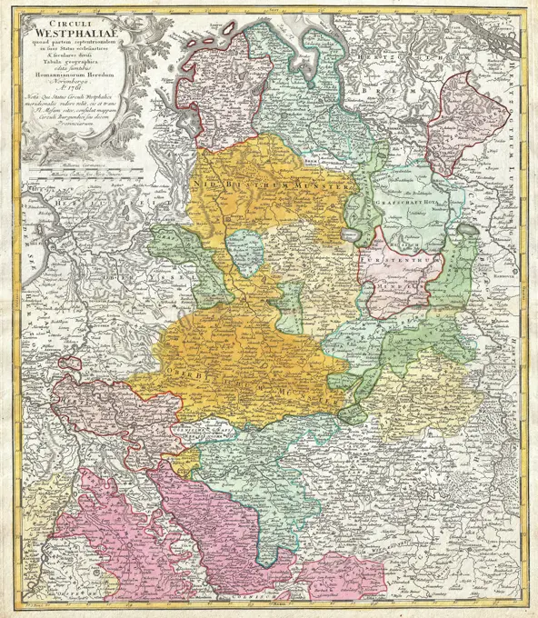
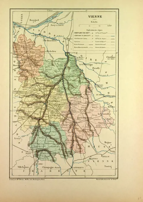
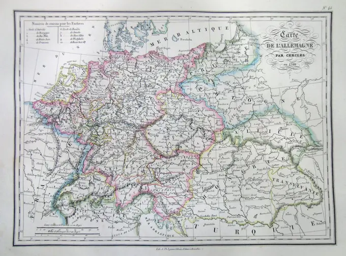
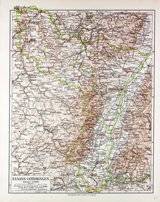
Antique maps from the 17th to 19th centuries depicting regions in Belgium, France, and Austria, showcasing historical geographical boundaries.

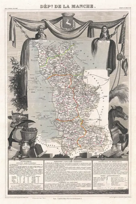
Antique maps from the 17th to 19th centuries depicting regions in Belgium, France, and Austria, showcasing historical geographical boundaries.