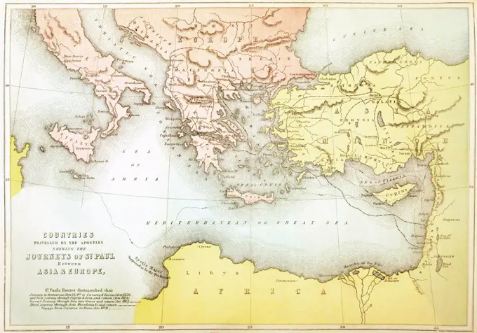
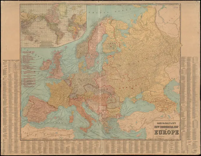
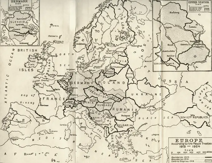
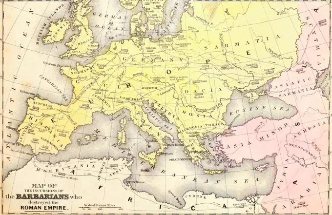
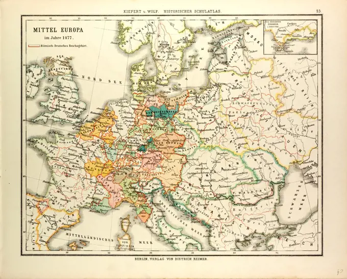
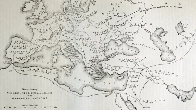
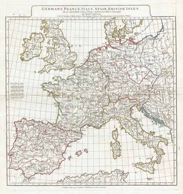
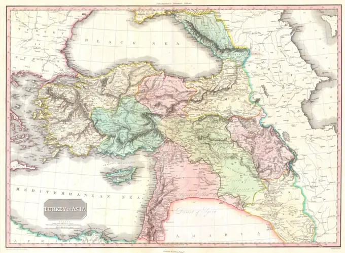
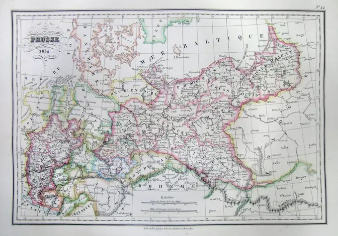
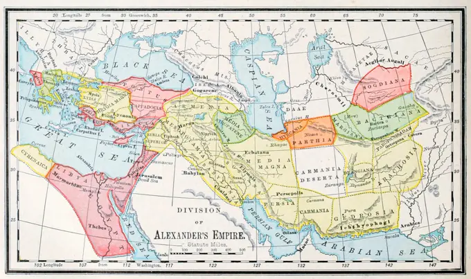
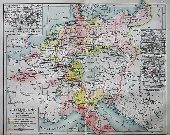
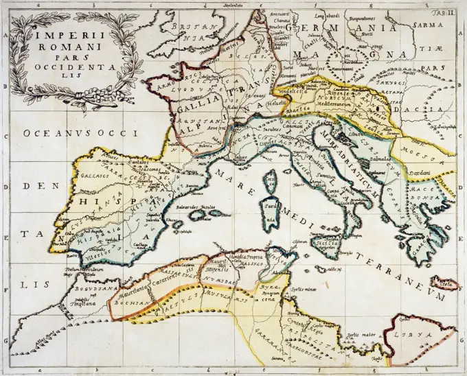
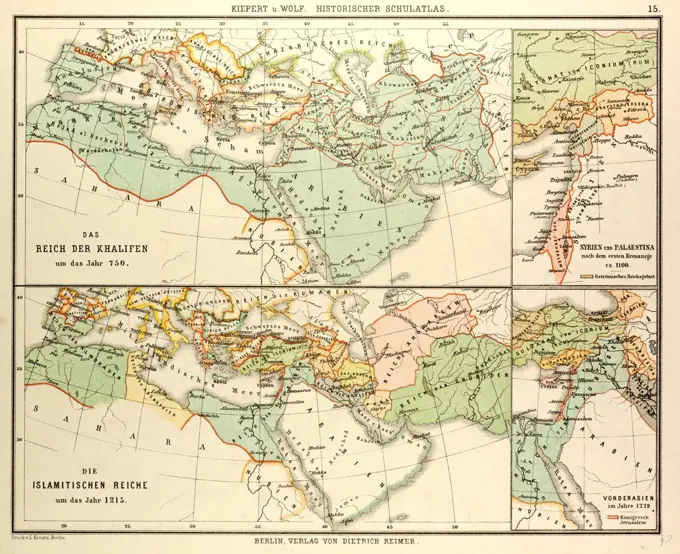
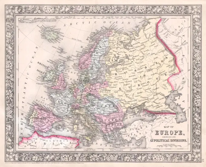
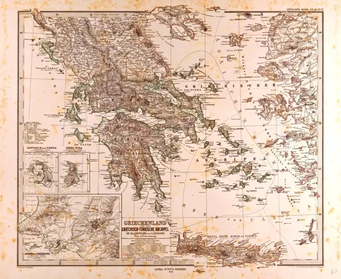
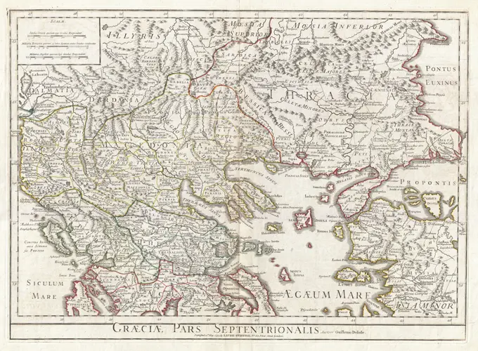
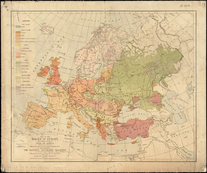
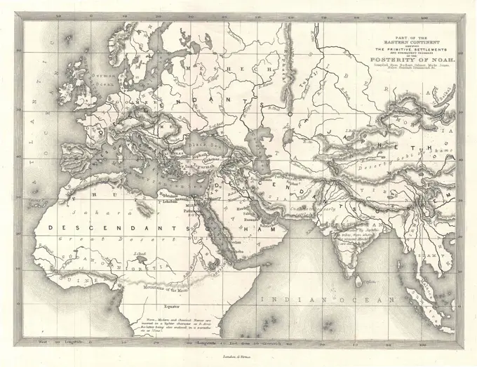
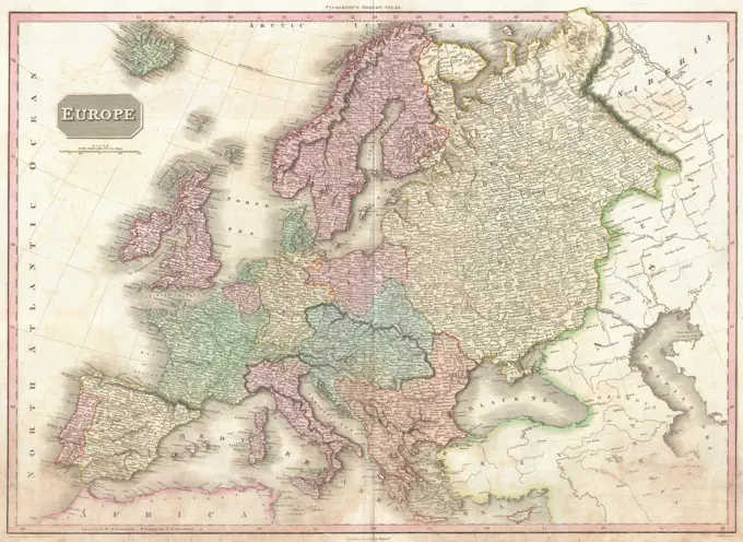
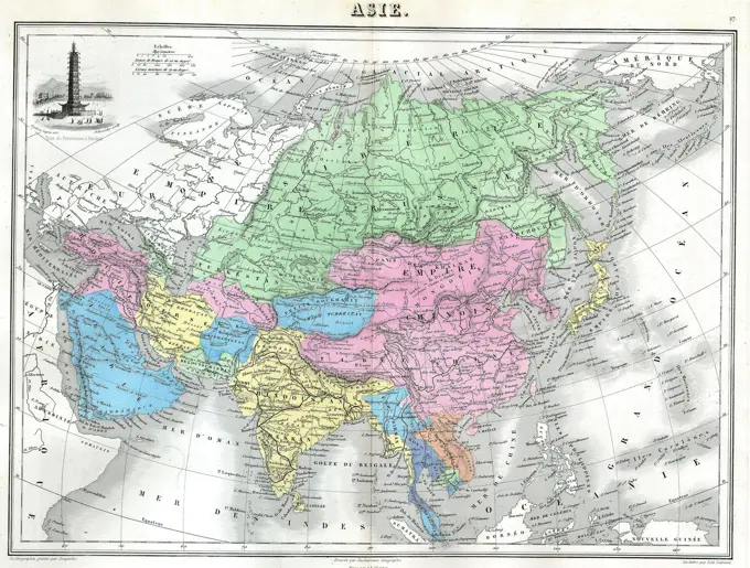
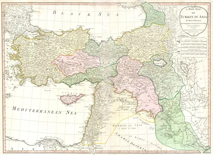
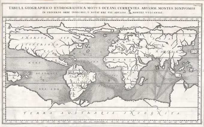
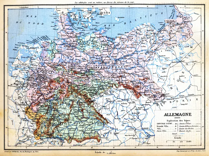
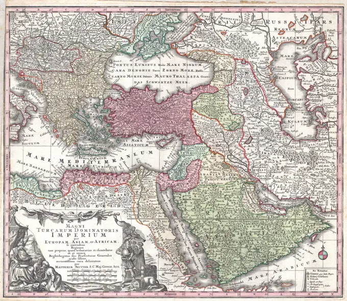
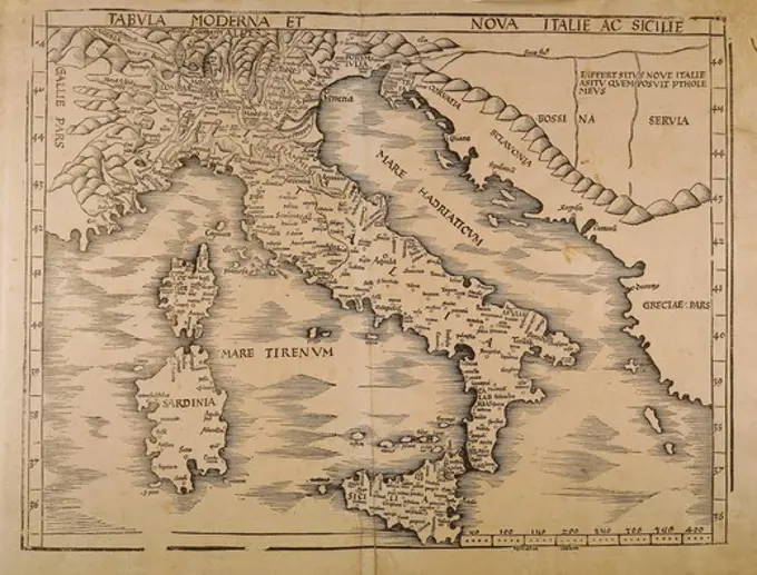
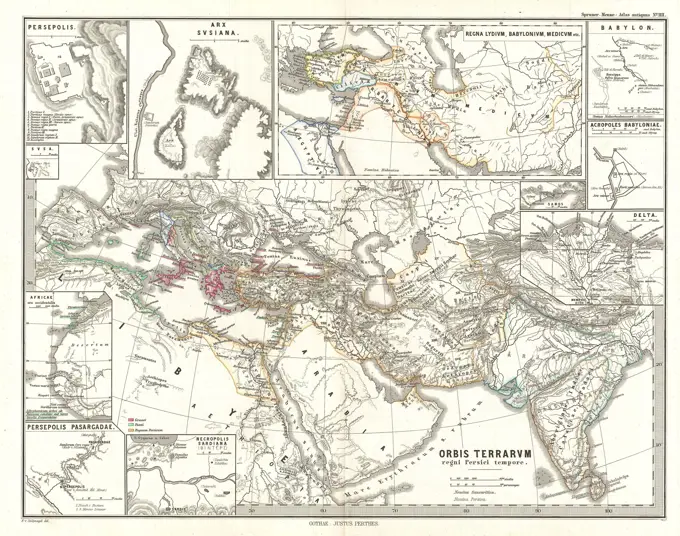
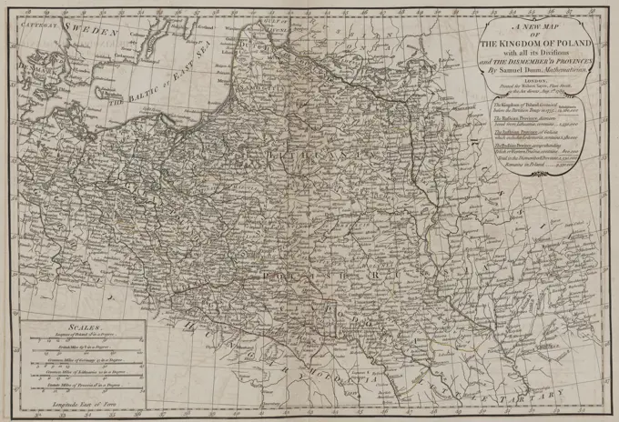
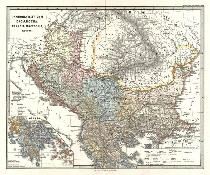
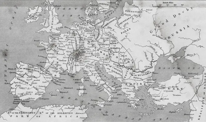
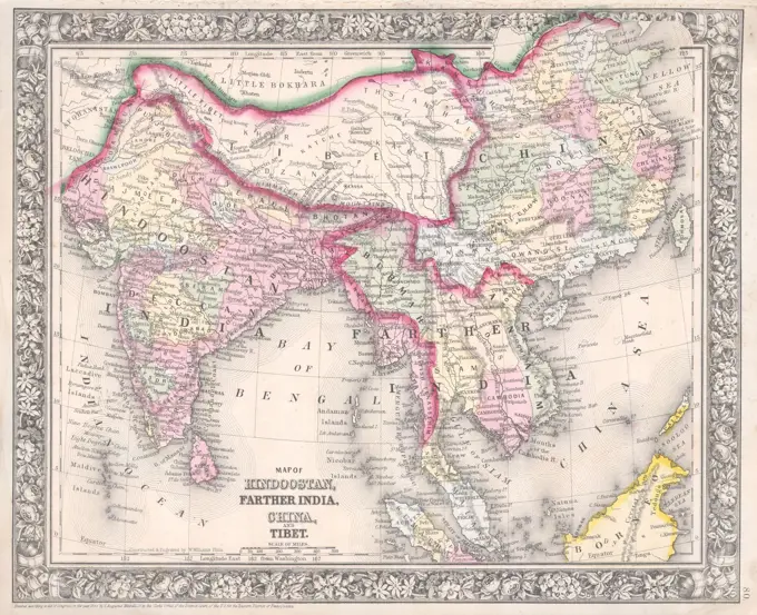
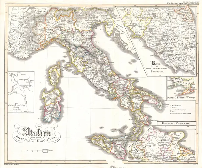
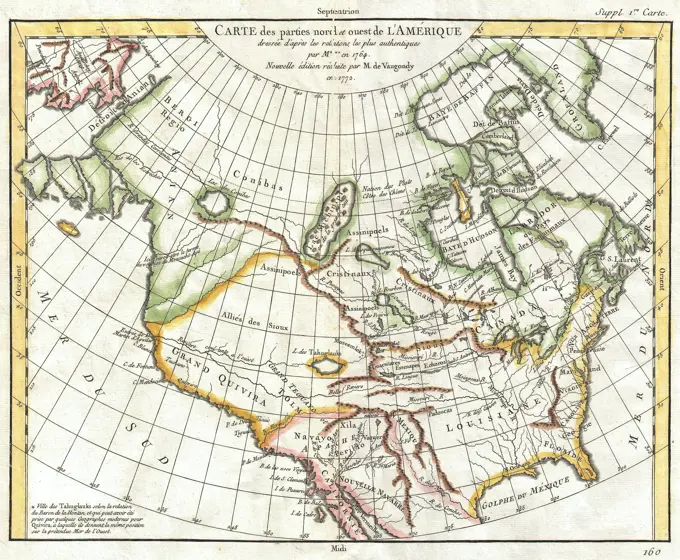
Historical Maps of Europe
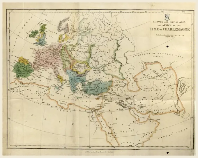
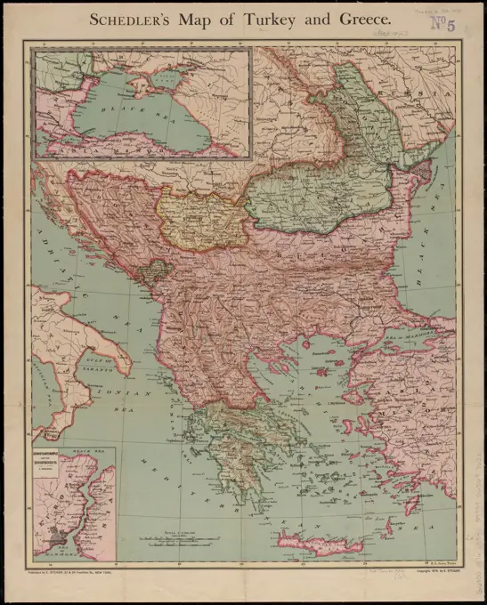
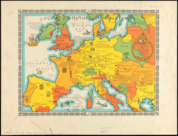
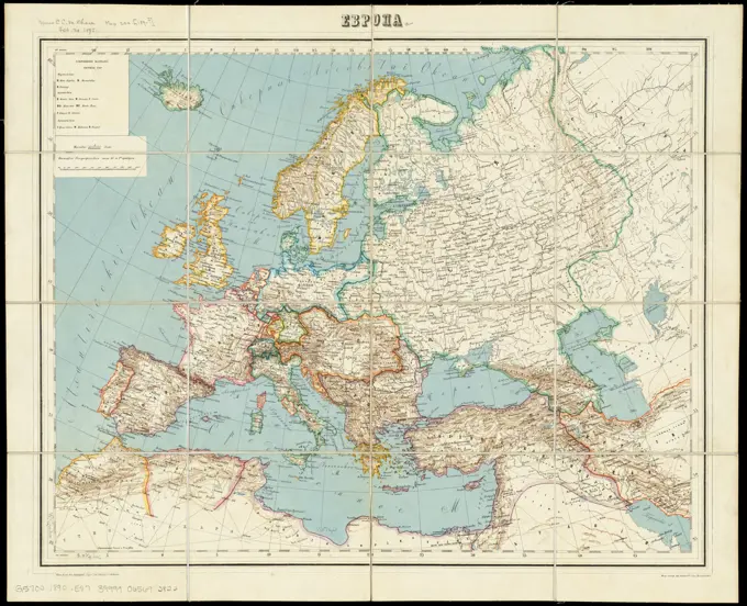
Collection of detailed antique maps showing provinces and historical regions of ancient and medieval Europe, with a range of colors and intricate lines.
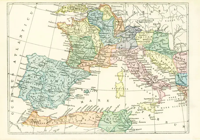
Collection of detailed antique maps showing provinces and historical regions of ancient and medieval Europe, with a range of colors and intricate lines.