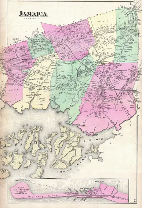
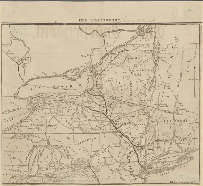
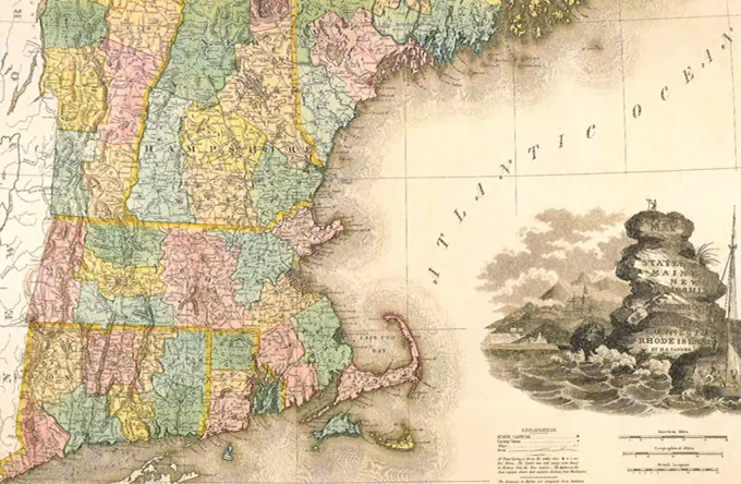
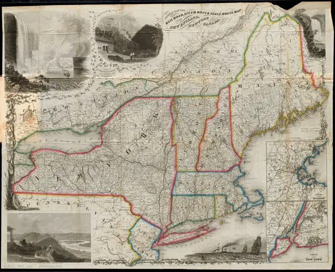
Historical Maps of New York and New England
Detailed historical maps from the early 1800s and 1750s, featuring state borders, counties, and railroad routes in New York and New England.


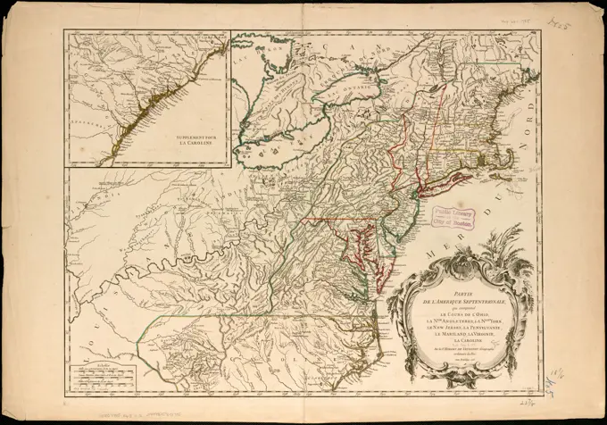
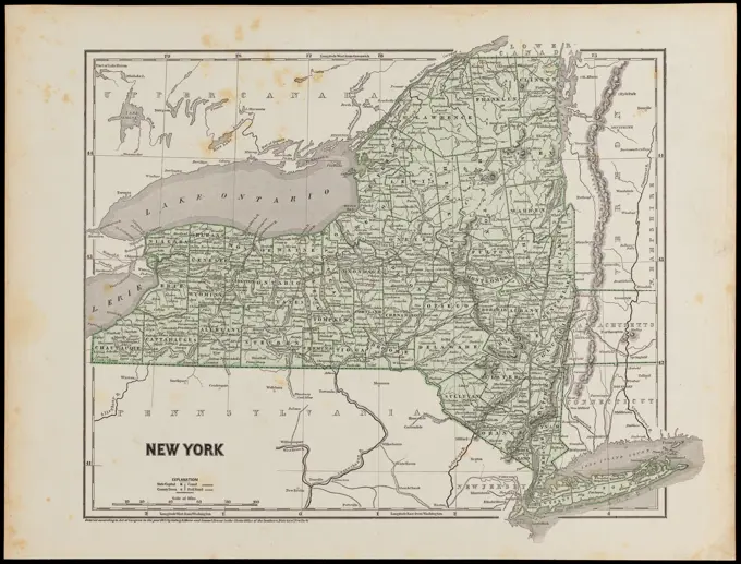


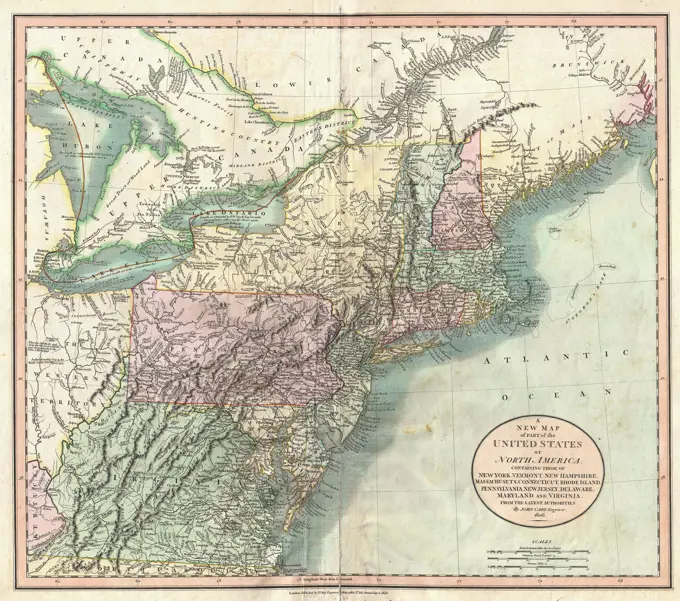

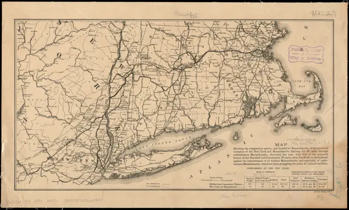

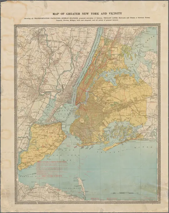


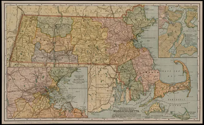


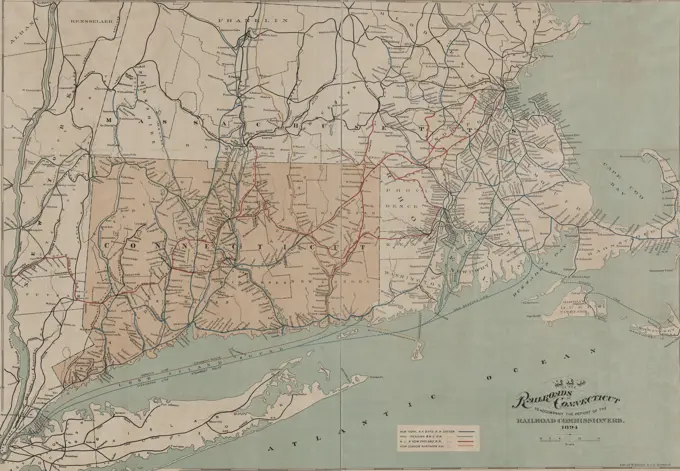


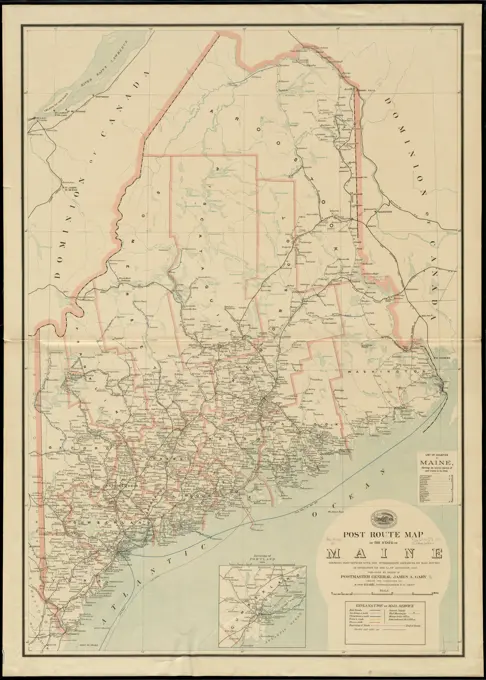


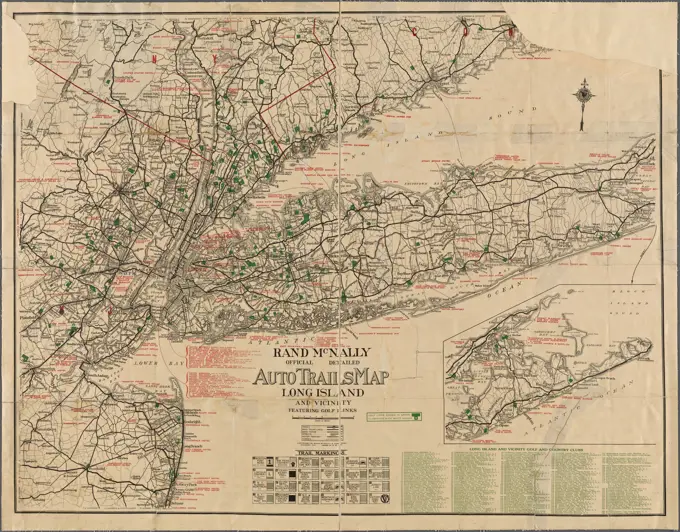


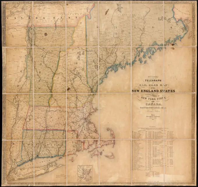
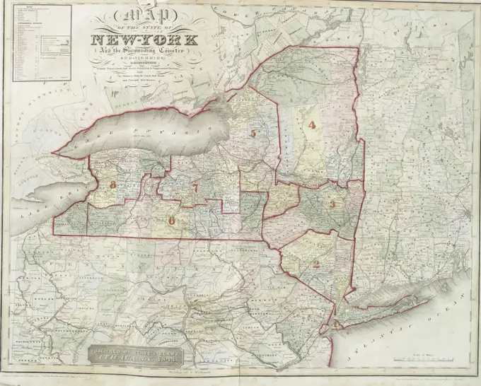

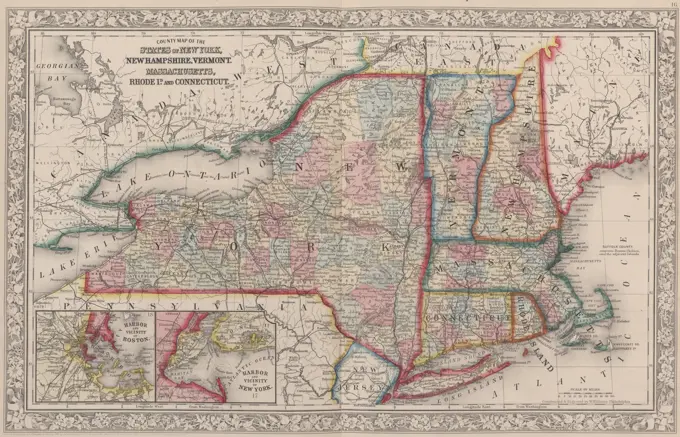

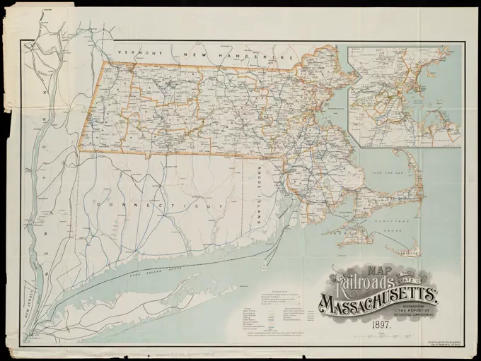


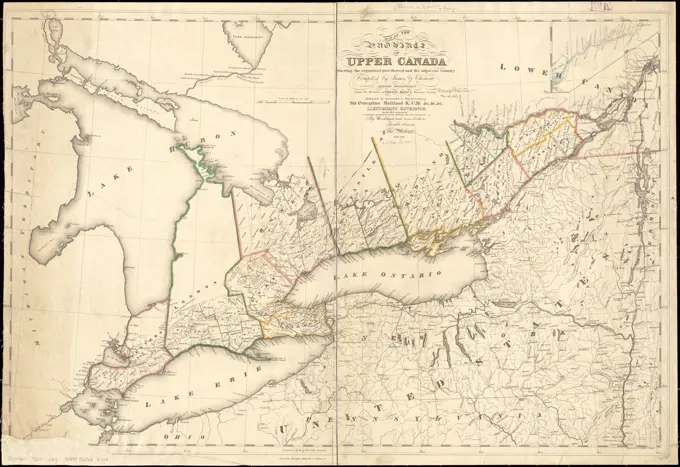


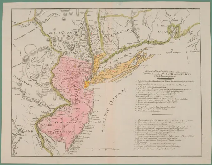

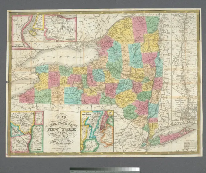

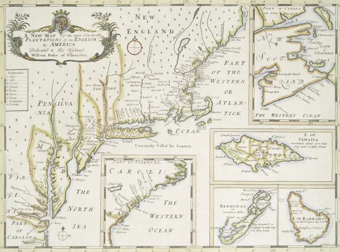


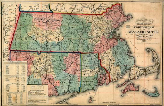
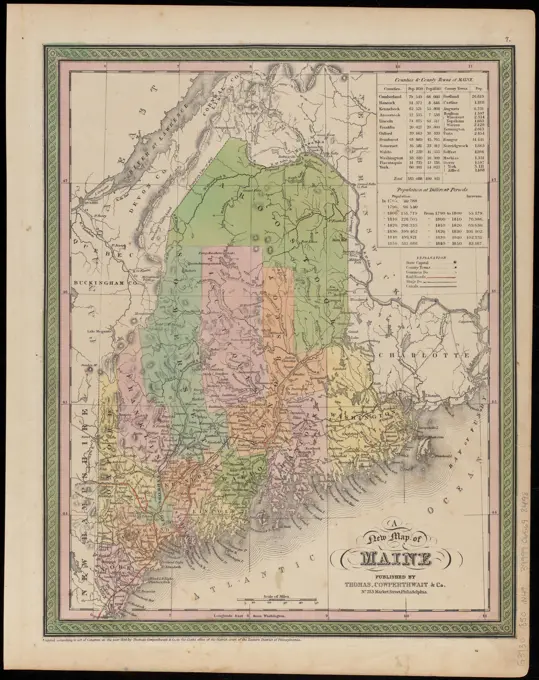

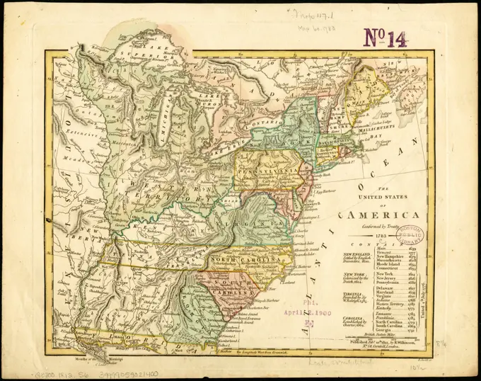

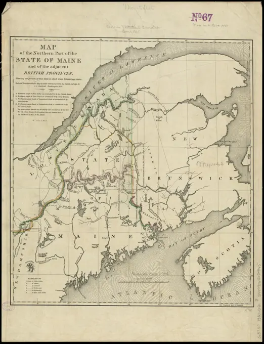

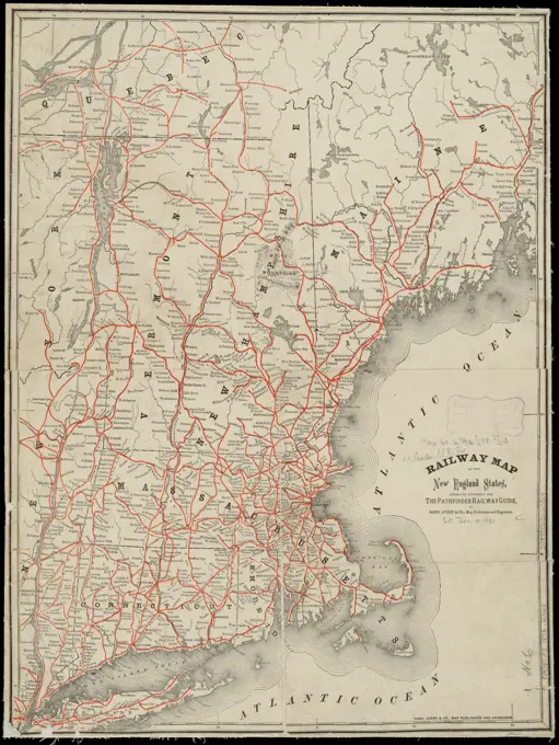


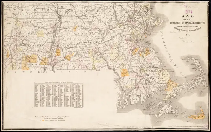


Detailed historical maps from the early 1800s and 1750s, featuring state borders, counties, and railroad routes in New York and New England.