Historical Maps of North America
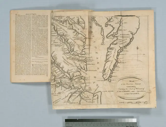
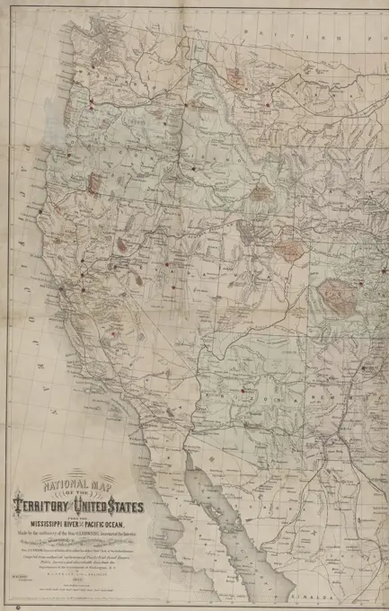
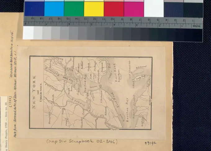
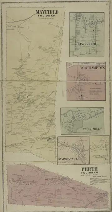
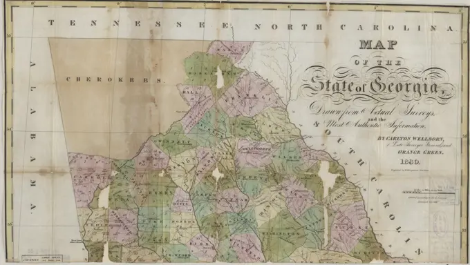
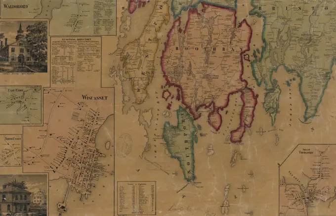
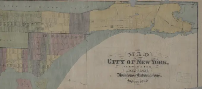
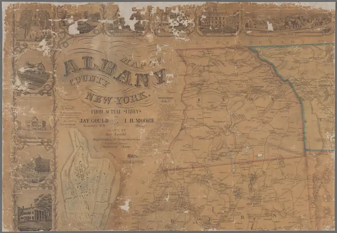
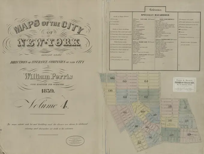
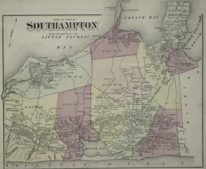
A collection of historical maps including detailed depictions of towns, rivers, and regions in New York, Pennsylvania, and 18th-century Europe. Features vibrant colors and intricate designs.
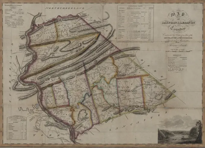
A collection of historical maps including detailed depictions of towns, rivers, and regions in New York, Pennsylvania, and 18th-century Europe. Features vibrant colors and intricate designs.