My Boards
View Pictures
  • My Boards
← Documents & Records

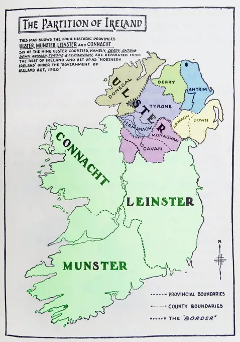
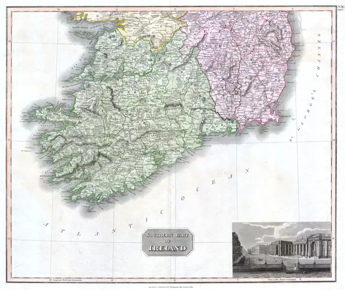
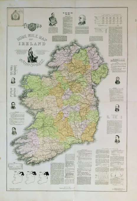
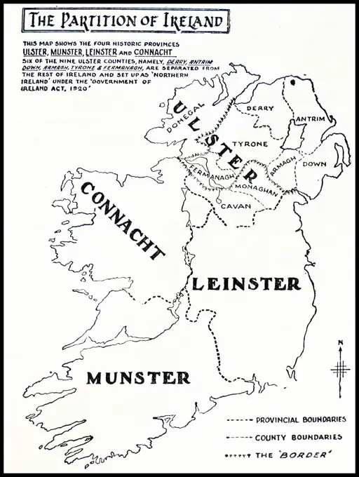
Historical Maps of the British Isles

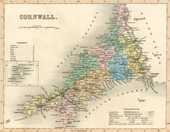
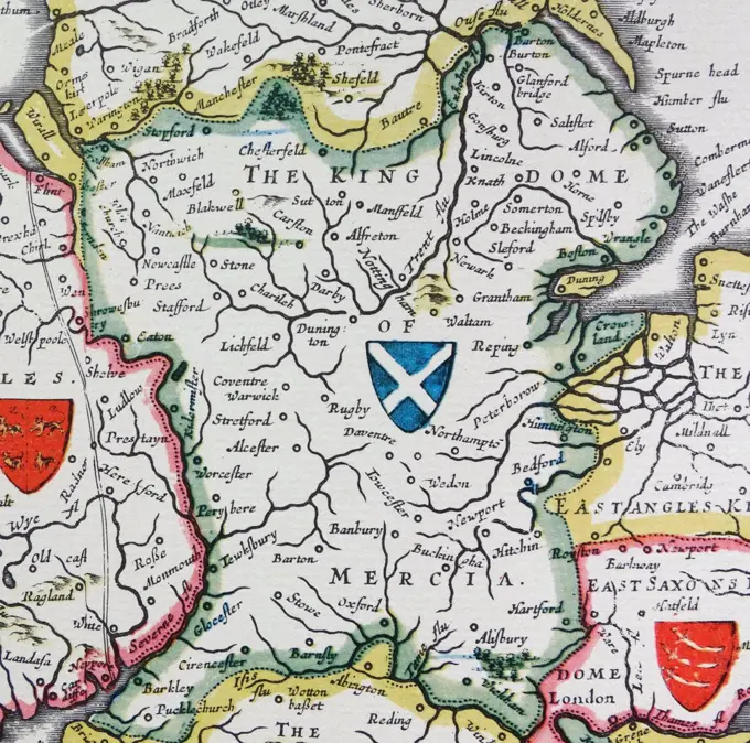
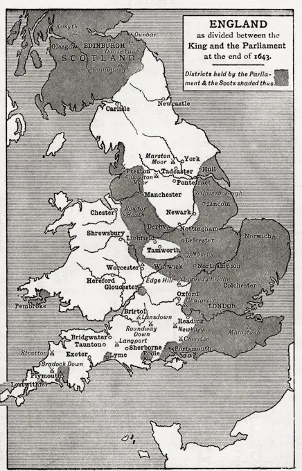
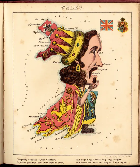
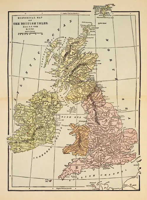
A collection of early maps showcasing England, Scotland, and Ireland, with detailed geographical features and historical annotations.

Historical Map of British Isles Since A.D. 1066
340 assets in this story
6188-55680036
Karte von Schottland - Map of Scotland Karte von Schottland - Map of Scotland Copyright: xZoonar.com/RobertxBiedermannx 9057076
4443-12549
MAP OF YONNE, 1896, FRANCE
4220-21886286
 Map of Cornwall         Date: circa 1857
1746-21101620
Shield of Mercia, from the Heptarchy; a collective name applied to the Anglo-Saxon kingdoms of south, east, and central England during late antiquity and the early Middle Ages, Detail from an antique map of Britain, by the Dutch cartographer Willem Blaeu in Atlas Novus (Amsterdam 1635)
6145-55955880
Scotland. Cartographic. Maps, Atlases. 1701. Lionel Pincus and Princess Firyal Map Division. Geography
6145-50568402
Great Britain, her natural & industrial resources , Industries, Great Britain, Maps, Natural resources, Great Britain, Maps, Great Britain, Maps Norman B. Leventhal Map Center Collection
6176-66915186
Geological Map of Scotland, January 1865
1889-60414119
Map of England as divided between the king and the parliament at the end of 1643. The shaded areas are districts held by the parliament and the Scots.  From Britain and Her Neighbours, 1485 - 1688, pu
6145-55916058
A pictorial map of the British Isles. Relief shown pictorially. Color version of Chase's 1935 black and white map; also differs in that date is missing from copyright statement at bottom of map. Includes illustrations.... , United Kingdom  , Great Britain  ,island
6145-48719919
Wales , Wales, Maps, Pictorial maps Norman B. Leventhal Map Center Collection
1746-21121839
Map of the partition of Ireland; the division of the island of Ireland into two distinct territories; Northern Ireland and Southern Ireland in 1921
6145-50571211
Scotland , Scotland, Maps, Pictorial maps Norman B. Leventhal Map Center Collection
6145-51389036
Wales , Wales, Maps, Pictorial maps Norman B. Leventhal Map Center Collection
6145-29096399
1814 Thomson Map of Southern Ireland
1746-29972501
A 17th-century map of Europe. Dated 17th century
6145-50547258
Home rule map of Ireland , Home rule, Ireland, Ireland, Administrative and political divisions, Maps Norman B. Leventhal Map Center Collection
6145-55913947
Home rule map of Ireland. Includes summary of the New Irish Home Rule Bill, description of natural and geographical features, illustrated portraits and a description of the general election of 1892. Exhibited in Faces and Places, at the Boston Public Library, Boston, MA, October 2003 - September 2004.. This highly political map was published in Boston for an audience of Irish immigrants eager to learn all there was to know about efforts to pass the Home Rule Bill in Ireland. This Bill was intended to give Ireland its own parliament. Although the bill passed the British House of Commons in 1893, it was rejected by the House of Lords. The British Prime Minister W. E. Gladstone, who is pictured and quoted at the top of the map, resigned his post in protest. (A version of the Bill finally passed in 1914). The text of the Bill is given in full at the top of the map, and men who supported it are pictured in the margins. Robert Emmett, who led a revolt against the English in 1803, is quoted a
1788-27948
Roman Civilization. Map of Roman Britain (Britannia) with the Wall of Hadrian (built in 122-126), extending from Wallsend to the shore of Solway Frith and the Wall of Antoninus (142-144) extending from the Firth of Forth to the Firth of Clyde. Artwork
6145-48718527
Home rule map of Ireland , Home rule, Ireland, Ireland, Administrative and political divisions, Maps Norman B. Leventhal Map Center Collection
6145-51421468
Poster, 'Britain - Spearhead of Attack', early 1940s, United Kingdom, by F. Donald Blake, Alf Cooke Ltd. Gift of Mr C H Andrews, 1967.
6145-48718591
Dublin , Ireland, Maps, Topographic, Northern Ireland, Maps, Topographic Norman B. Leventhal Map Center Collection
6145-46184180
Sprinkling of the soap factory "the Wasch girl" Voorburg. Board game of the soap factory "the Wasch girl" in Voorburg. The map of the Netherlands with 71 numbered with laps and place names. Rules of the bottom left.
1746-30017950
Map showing the partition of Ireland which led to Ireland being separated into two self-governing polities: Northern Ireland and Southern Ireland. It was enacted on 3 May 1921 under the Government of Ireland Act 1920.
6145-55975441
This is a Cow. Country: England Printed By: Greycaines Contributor: Her Majesty's Stationery Office. 1942 - 1945.  Office for Emergency Management. Office of War Information. Domestic Operations Branch. Bureau of Special Services. 3/9/1943-9/15/1945. World War II Foreign Posters
6188-64569958
Karte von Grossbritannien auf einfachem Kreuzstich - Map of Great Britain on simple cross stitch Karte von Grossbritannien auf einfachem Kreuzstich - Map of Great Britain on simple cross stitch Copyright: xZoonar.com/lantapixx 14046484
6176-67077781
'The Graphic Statistical Maps of Ireland; Population 1881', 1886. From "The Graphic. An Illustrated Weekly Newspaper Volume 33. January to June, 1886".
6188-64556935
Karte von Irland auf verwittertem Holz - Map of Ireland on weathered wood Karte von Irland auf verwittertem Holz - Map of Ireland on weathered wood Copyright: xZoonar.com/lantapixx 10692161
6145-52315750
Russia, 1898-1899. 1910. Vinkhuijzen, Hendrik Jacobus. still image. Illustrations. General Research Division. Military uniforms , History, Russia
6145-29210666
Lower Guinea from Court Game of Geography 1838-55 William and Henry Rock. Lower Guinea from Court Game of Geography. 1838-55. Engraving and hand coloring (watercolor). William and Henry Rock
6145-29095108
1861 Levasseur Map of Corsica ( La Corse ), France
6145-55916815
The British Commonwealth of Nations. Shows forms of government. Includes table illustrating "principal products (according to value of production)". Indicates areas "under enemy military duress August 1942."... , World
6145-50538685
Diagram to illustrate contrast between British and Chinese Empires , World maps, Population, Maps Norman B. Leventhal Map Center Collection
6145-54267438
Diagram to illustrate contrast between British and Chinese Empires. Cartogram showing country sizes based on population. Areas under the dominion of the British Empire indicated in red. Appears in The commonwealth of nations / edited by L. Curtis. "Plate IV (see page I)." "At end of volume."... , World
6145-50567760
Natural and political history of the Gerry-mander! : In two chapters , Election districts, Massachusetts, Essex County, Gerrymandering, Massachusetts, Politics and government, 1775-1865, Massachusetts, Politics and government, Caricatures and cartoons, Essex County Mass., Politics and government, 1775-1865, Gerry, Elbridge, 1744-1814 Norman B. Leventhal Map Center Collection
6176-65989492
A Map of Cornwall in the 6th Century from Lives of the Saints by Sabin Baring-Gould.
6145-54269441
Carsonia the great betrayal!. A graphic presentation of the history and meaning of the Government of Ireland Bill, 1920. Includes explanatory text and table listing Ulster religious populations... Carsonia : the history and meaning of the great betrayal : threefold treachery and "homogeneous" humbug!. Carsonia : the history and meaning of the great betrayal : threefold treachery and "homogeneous" humbug!, Ulster  ,area  Ireland
6145-48719853
Carsonia the great betrayal! , Ulster Northern Ireland and Ireland, Politics and government, Ireland, Administrative and political divisions, Maps, Carson, Edward Henry Carson, Baron, 1854-1935 Norman B. Leventhal Map Center Collection
6188-64572651
Landkarte von Großbritannien mit Ortsschild von Cardiff - Map of Great Britain with road sign of Cardiff Landkarte von Großbritannien mit Ortsschild von Cardiff - Map of Great Britain with road sign of Cardiff Copyright: xZoonar.com/lantapixx 15428054
6188-67671994
English-language book with map of Ireland, 3D rendering English-language book with map of Ireland, 3D rendering copyright: xzoonar.com/alexlmxx 23109809
6188-55592207
Union Jack vintage Making of the Union Jack flag of the UK from the national flags of England, Scotland and Ireland vintage Copyright: xZoonar.com/ClaudioxDiviziax 9597598
PREVIOUS
of 4
NEXT
2401 S. Ervay, Suite 206
Dallas, Texas 75215
United States
Get Started
Free ResearchMy BoardsMy Cart
For Creators
How To License Your ContentContributor PortalFrame of Mind
Resources
API accessPricing
Contact
+1 866 236 0087help@viewpictures.co.uk Contact form
©2026 View Pictures. All Rights Reserved. -A
This site is protected by reCAPTCHA and Google Privacy Policy and Terms of Service apply.